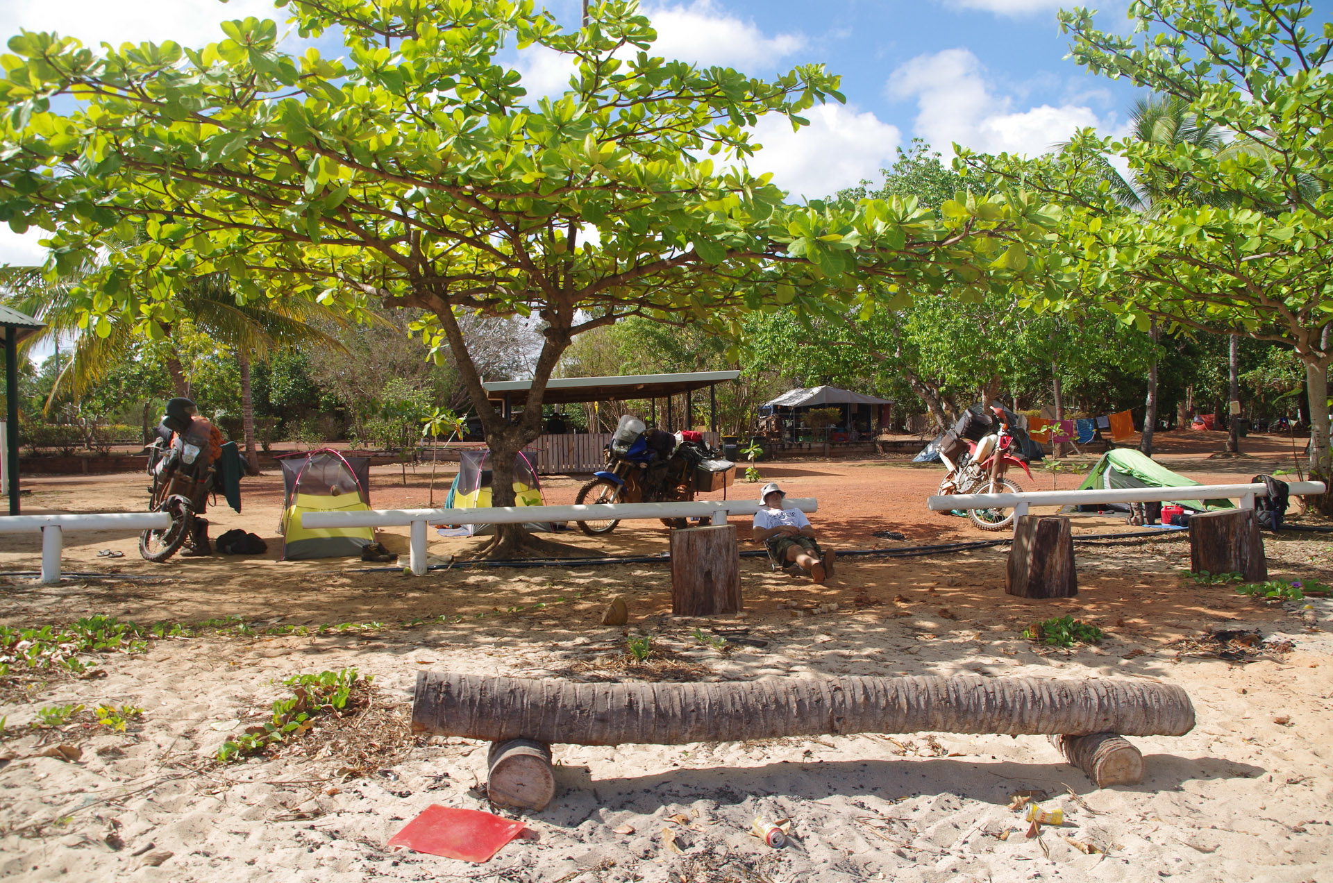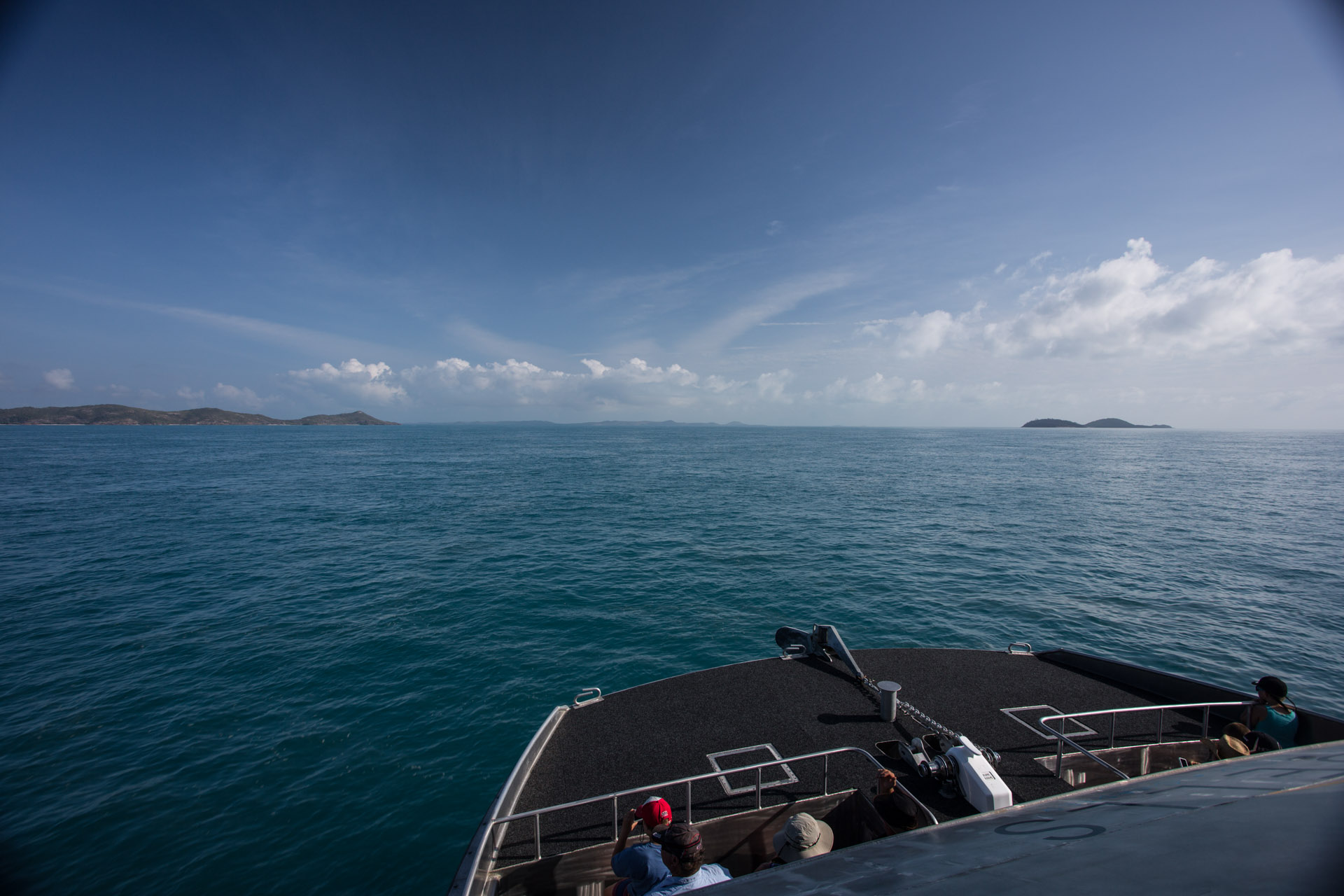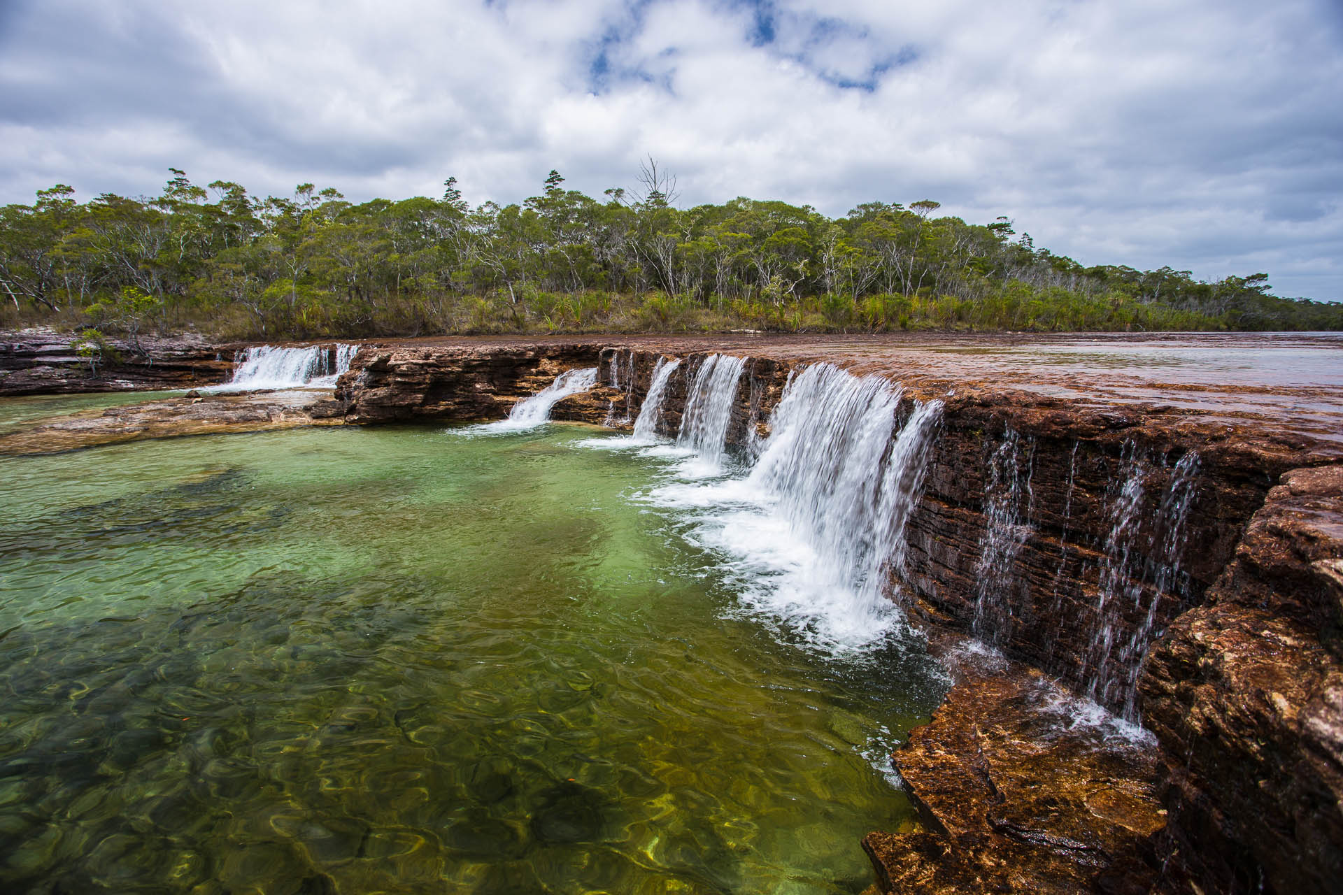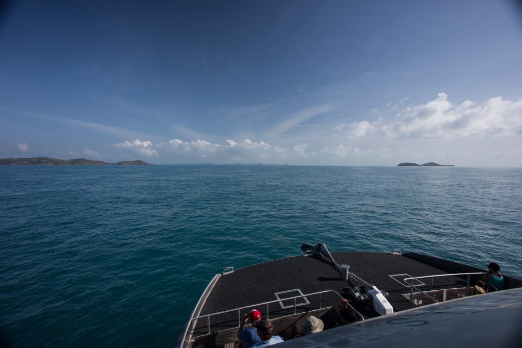
Ferry to Thursday Island from Seisia
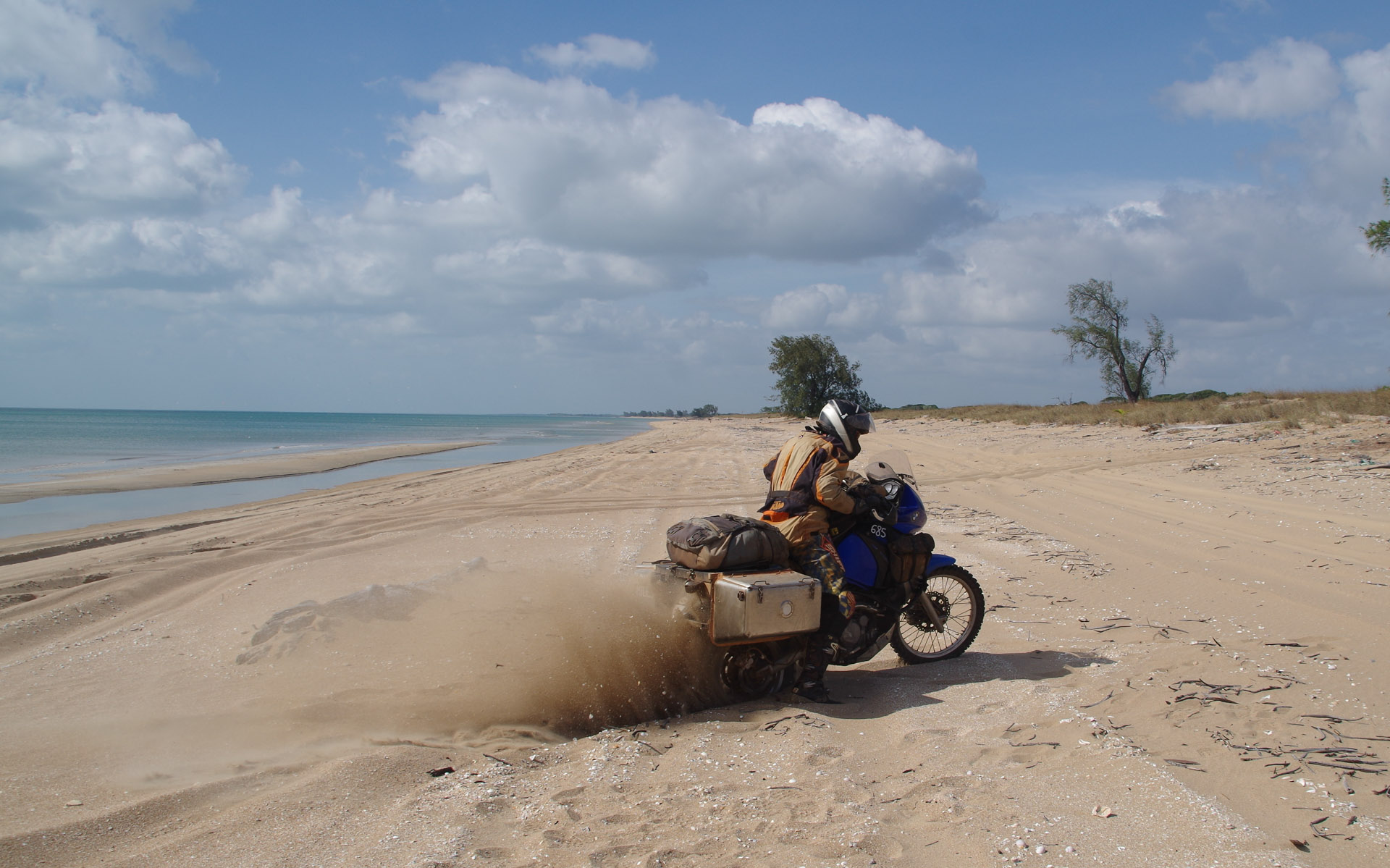
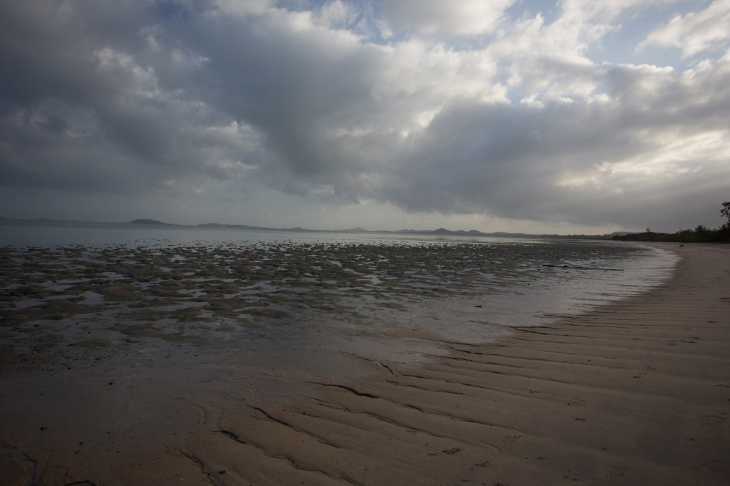
Leaving the main land I felt a thread snap.
Taking it all in and slowly letting go of the main land…….snap….
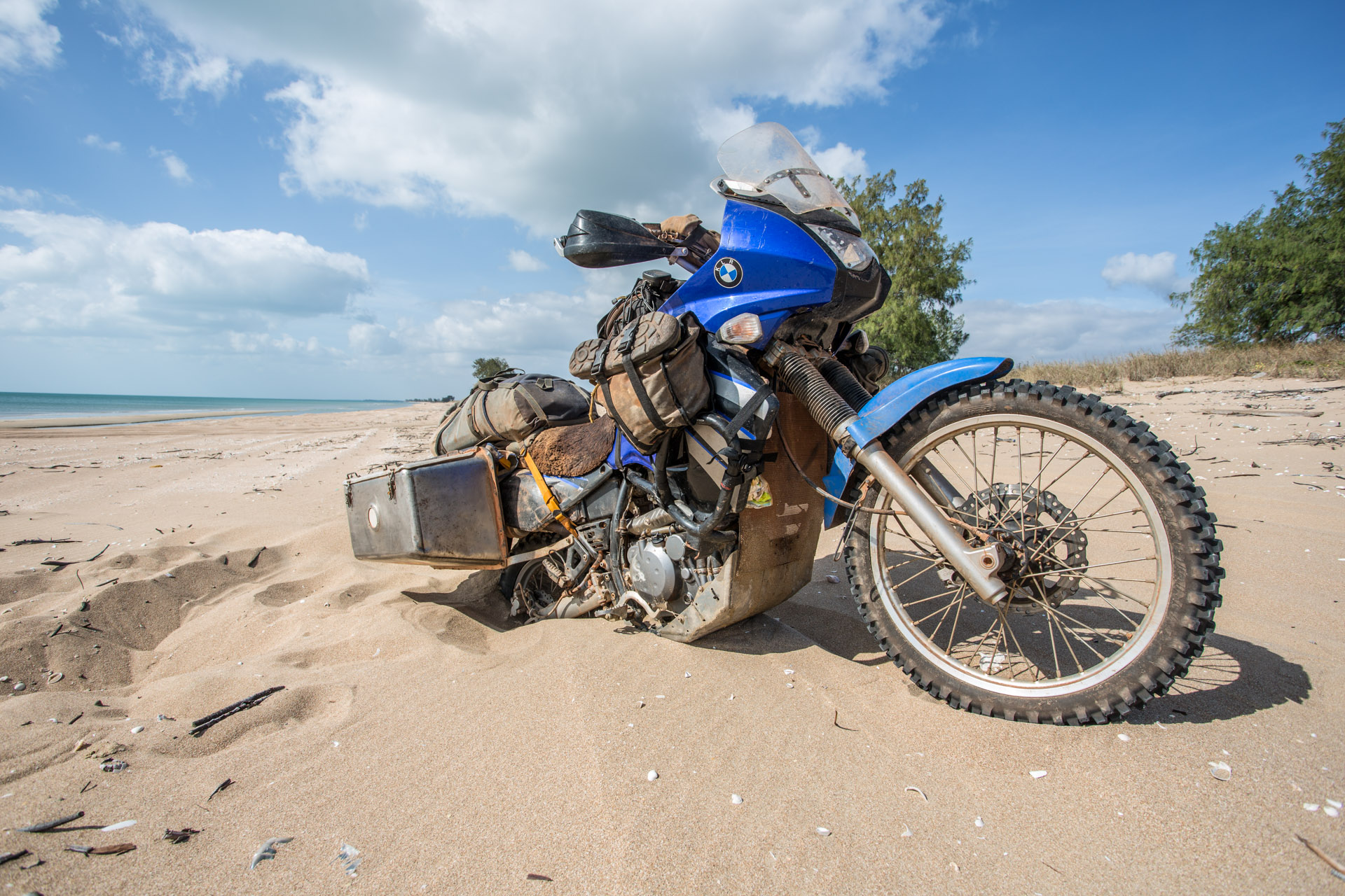
Pulling my backpack on and leaving behind my wheels and all the regalia of motorcycle riding to board a boat, leaving behind the Australian continent was a major step. That sense of a thread snapping felt like a weight off my shoulders, perhaps a letting go too.
Arriving on Thursday Island (TI) we stopped and met a few locals, chatting for a time, before heading off to meet the Titasey family that we would stay with over the next seven days.
They are friends of a friend of ours who lived there a year or two back. Thanks a stack for the contact Jo.
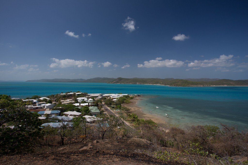
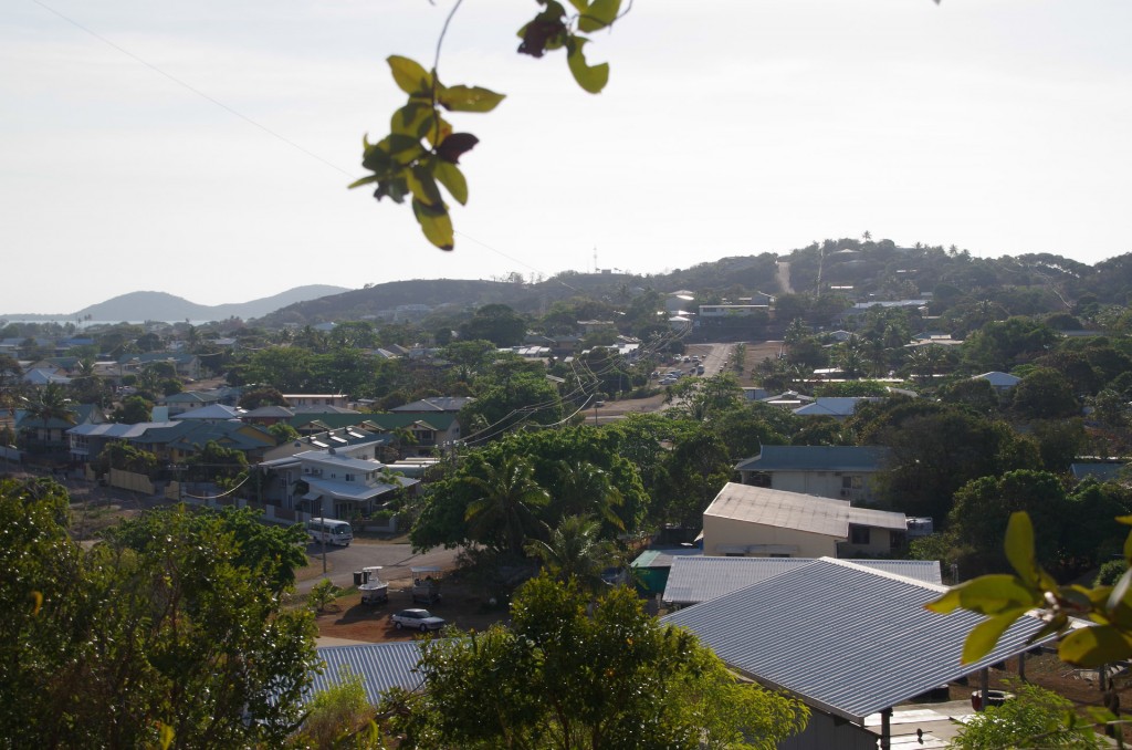
TI
Raman has contributed lots of photos to the Sunken Miles story. I will credit them from now on with Raman written in brackets in the caption.
TI
(Raman)
Much of my time on TI was spent lapping up island life and forgetting about the camera. I have a few images of this incredible week but many of the most memorable times, like diving for cray fish, playing with the kids, exploring and fishing will remain as stories only.
TI
(Raman)

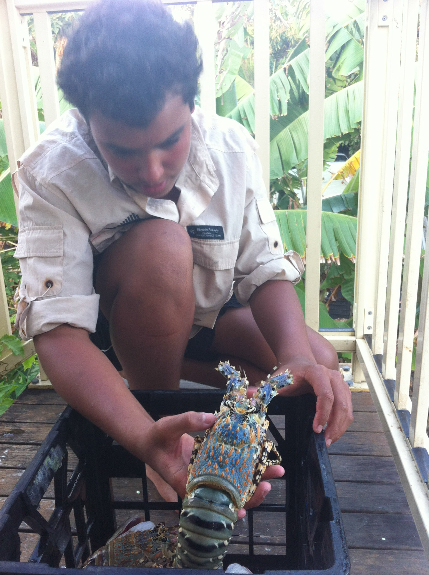
Sutchi with cray fish he speared
The cray fish is delicious. What a treat.
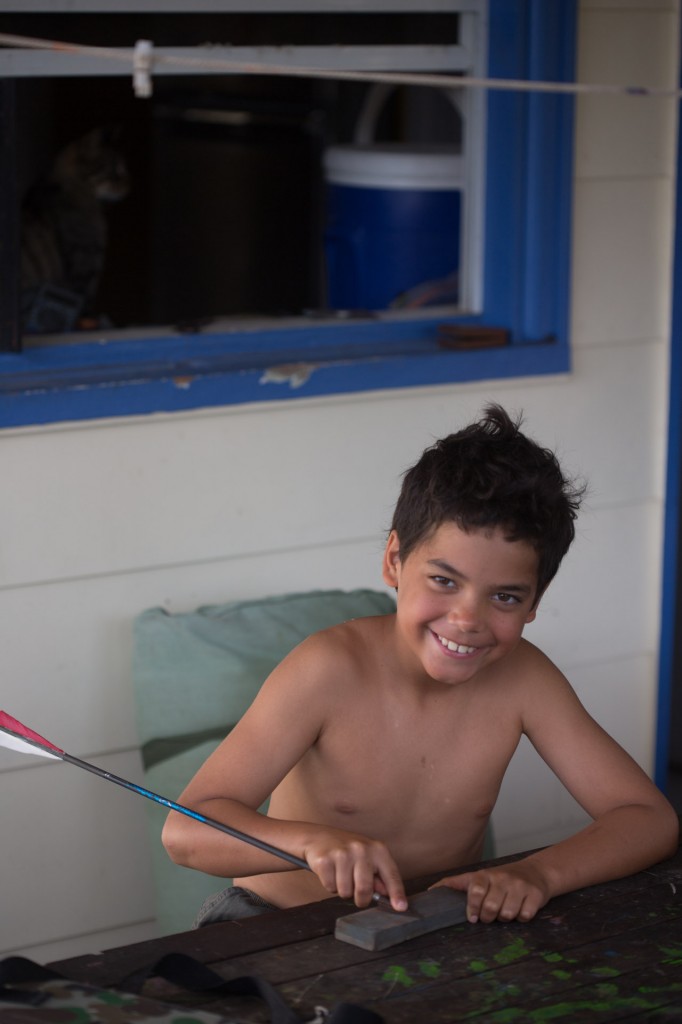
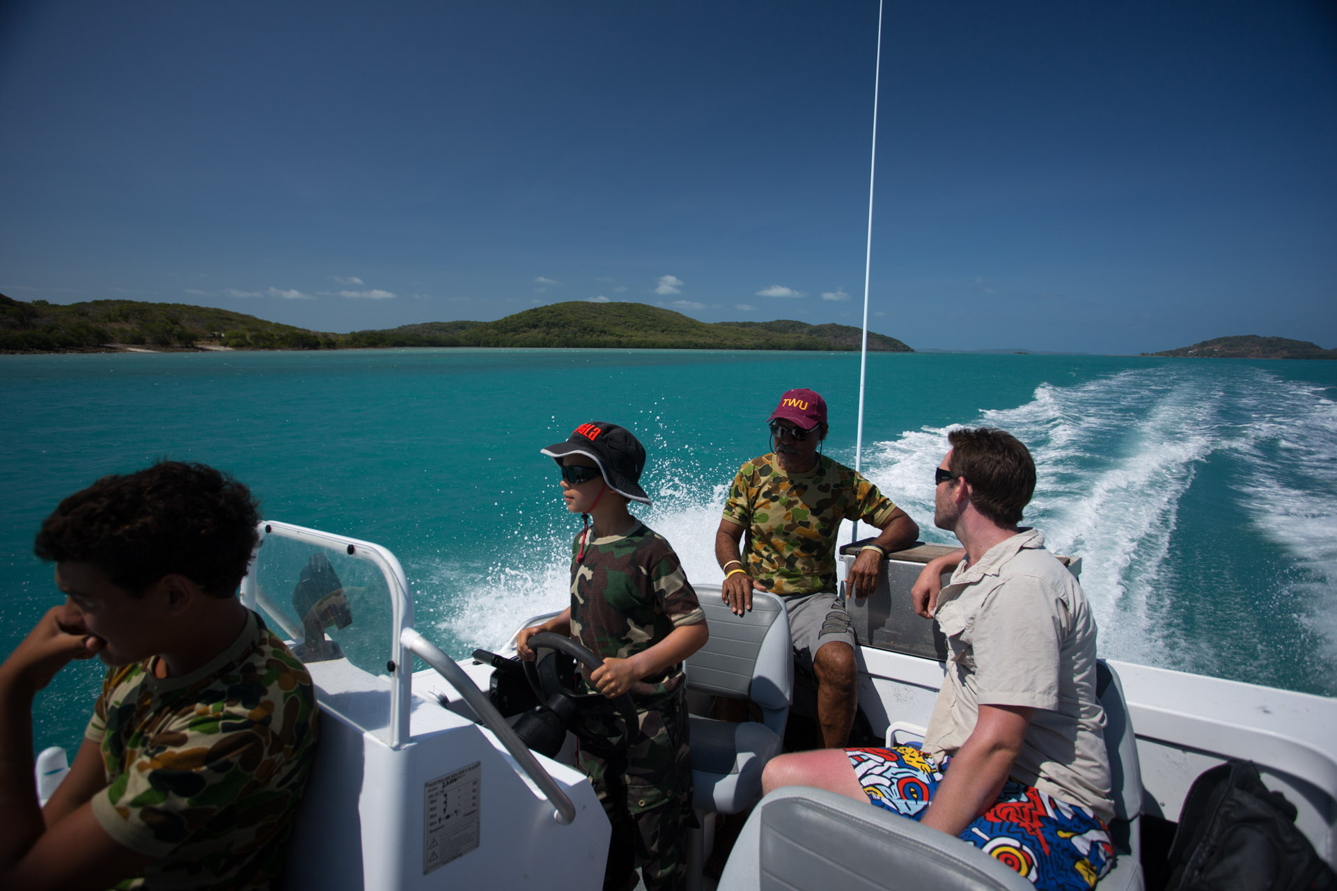
Cibbim (9) sharpening arrows before heading off bow hunting for pigs on Goode island

Cibbim at the wheel on our way out to Goode island, Tony (back), Dusty (right) and Sutchi left.
Dusty’s partner, Martina, is from TI and a relative of Tony’s. They live in Ballarat of all places and are just up for a wedding.

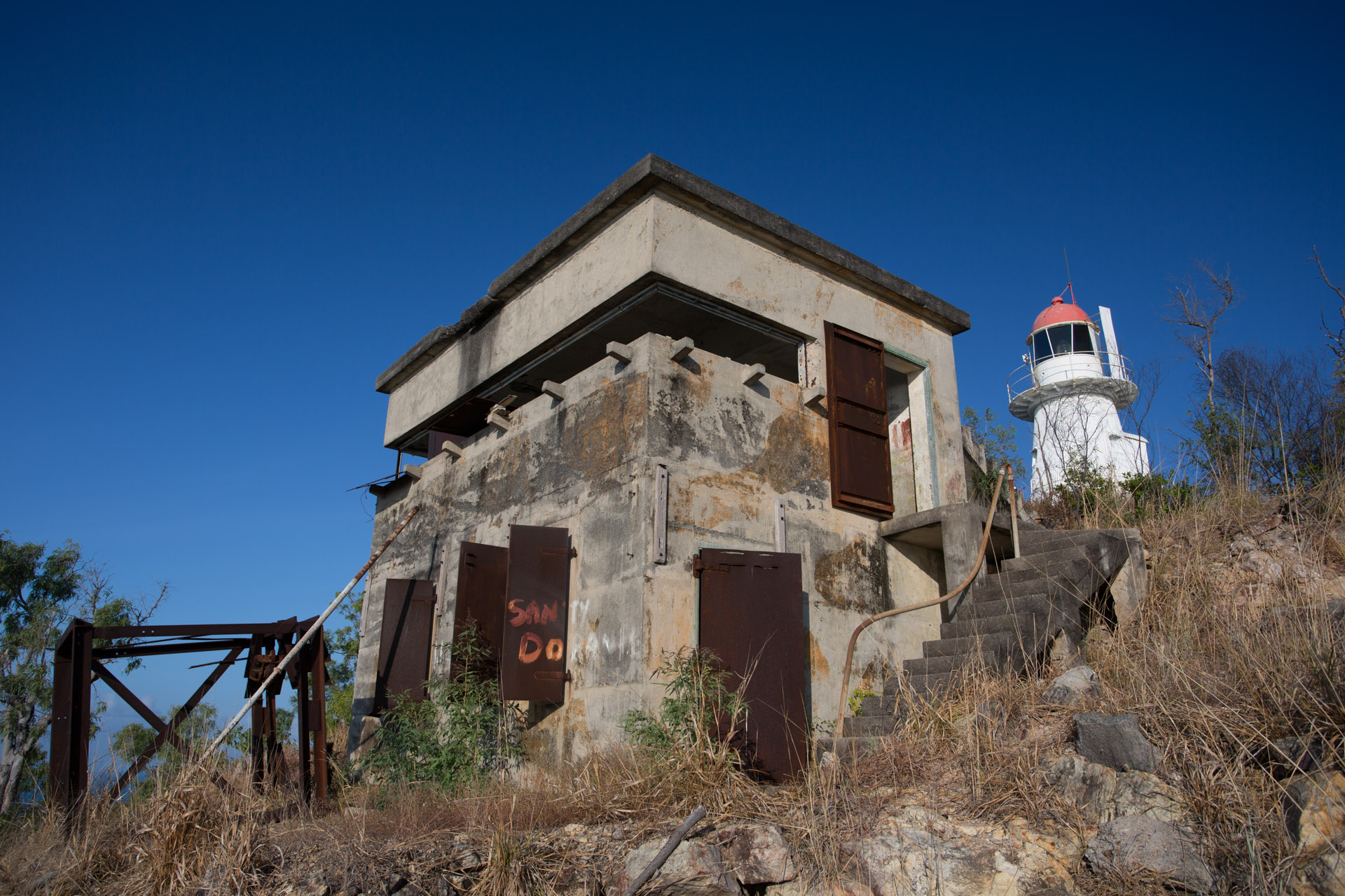
World War II bunker on Goode Island.
Goode island was actually the first island to be settled by the Brits before TI. It was latter abandoned for a few reasons I believe including the lack of a good deep water port and not much fresh water. However it was used during WWII for its strategic location in the Torres strait.
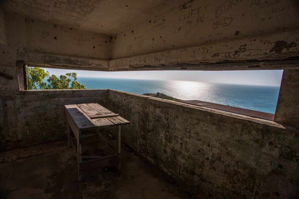
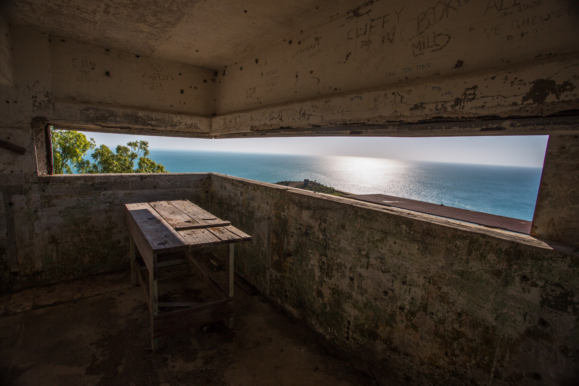
Inside the bunker looking northwest
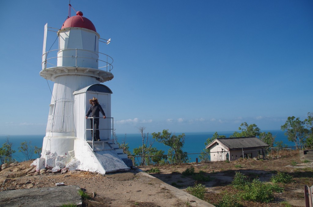
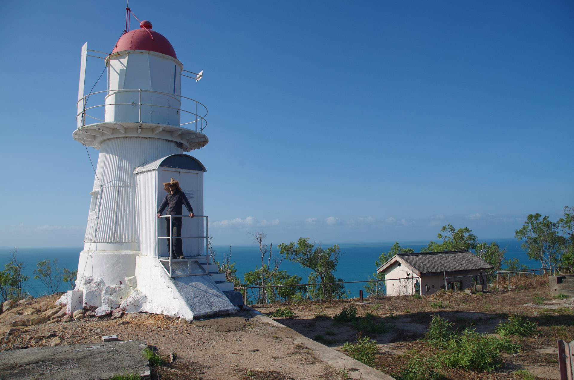
Light house atop Goode
(Raman)
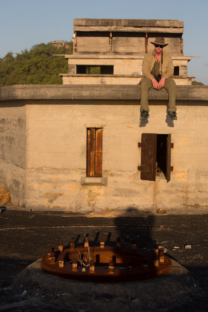
Raman sitting on the main fort lower down the hill where the HMAS Sydney MK 1 ships guns used to be. They have since been taken back. I haven’t seen ship guns used on land before. The circular pattern of bolts was the rotary mounting plate for the guns while they were here in WWII
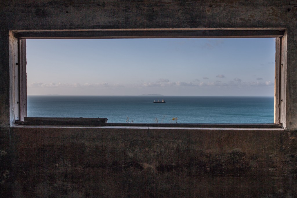
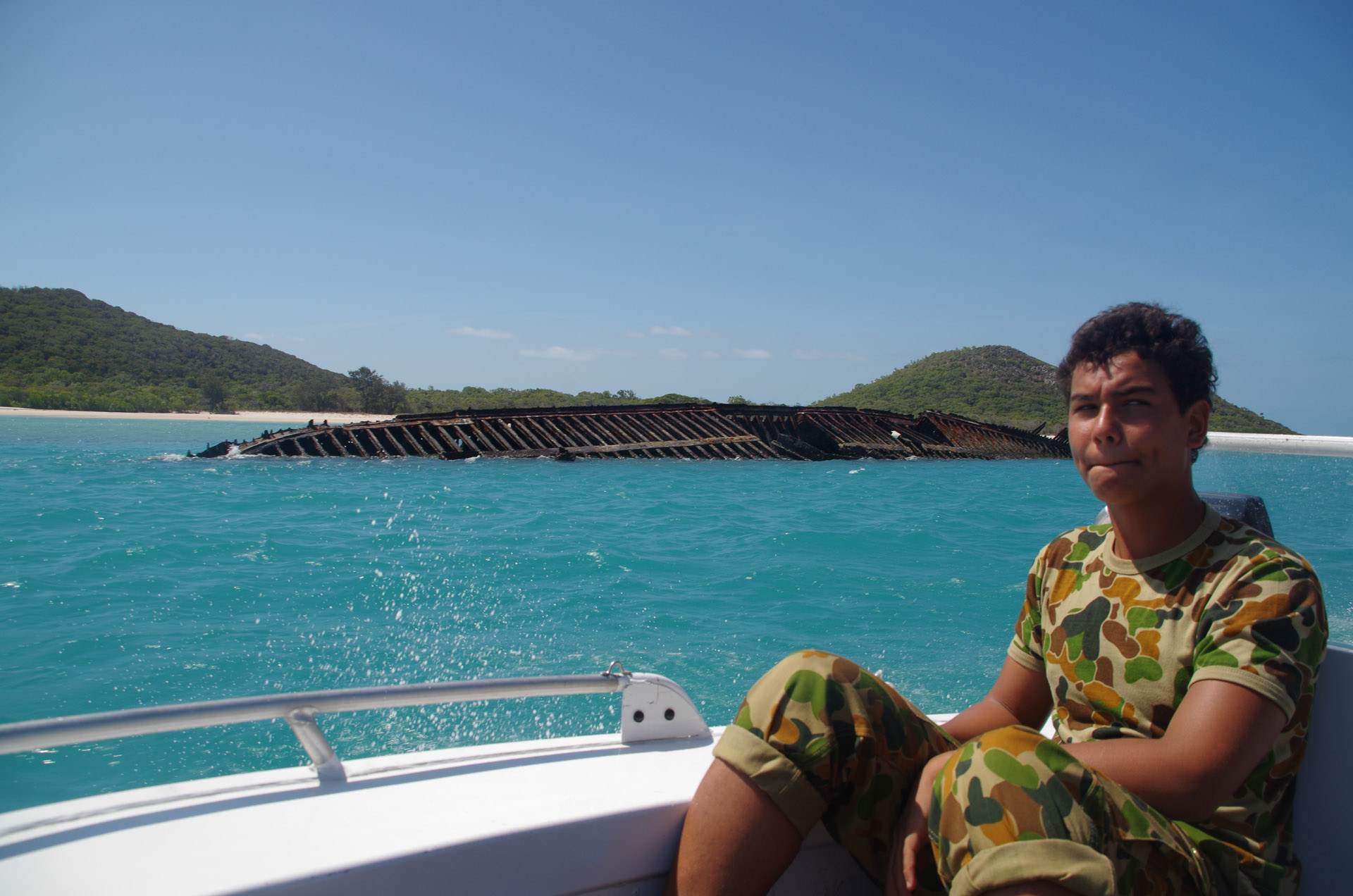
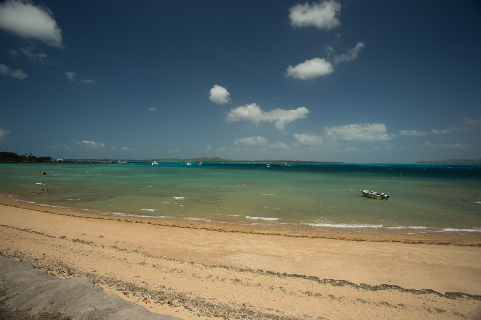
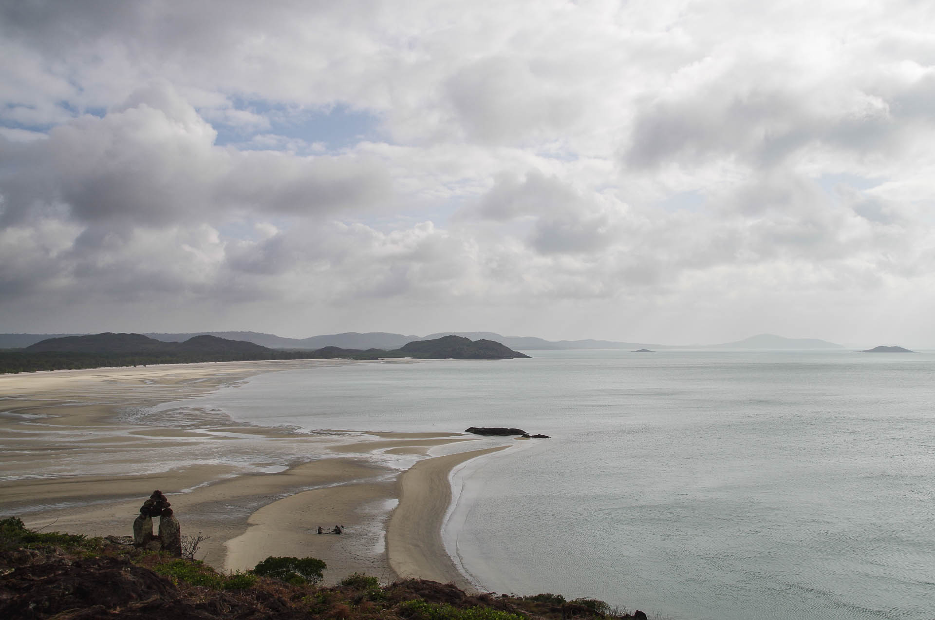
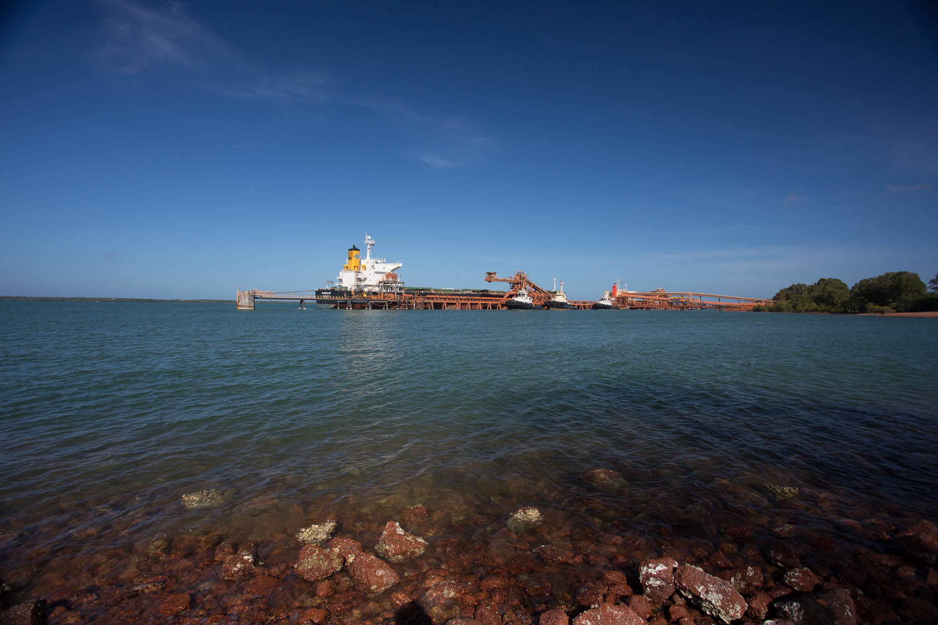
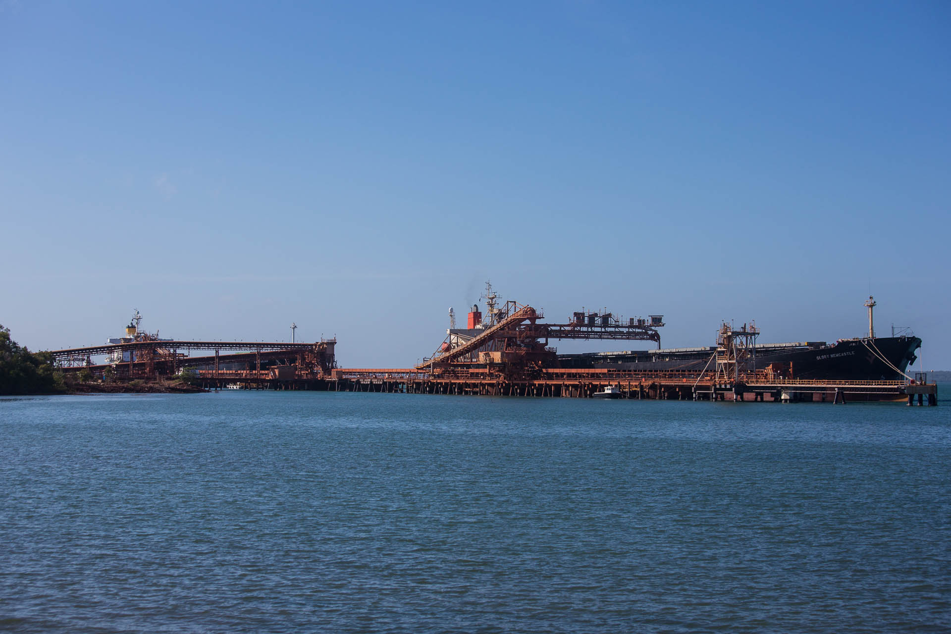
A view of the main deep water shipping channel. Much of the Torres strait is very dangerous for large ships to traverse with coral reefs scattered everywhere. This leads to great fish productivity and lots of ship wrecks.

Ship wreck off Goode island

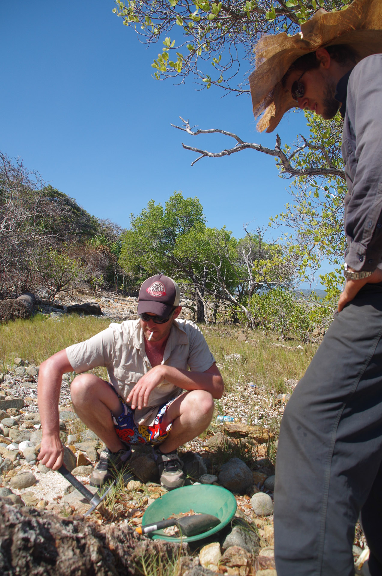
Dusty prospecting on Goode.
Dusty is an avid gold prospector and one of the most knowledgeable I have met despite his youth.
Panning out
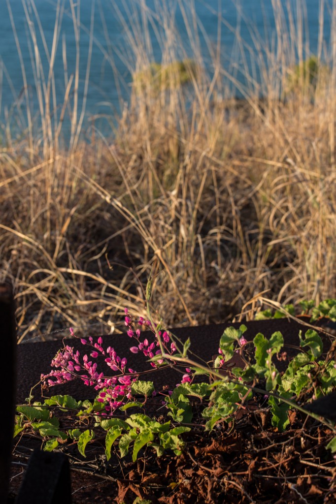
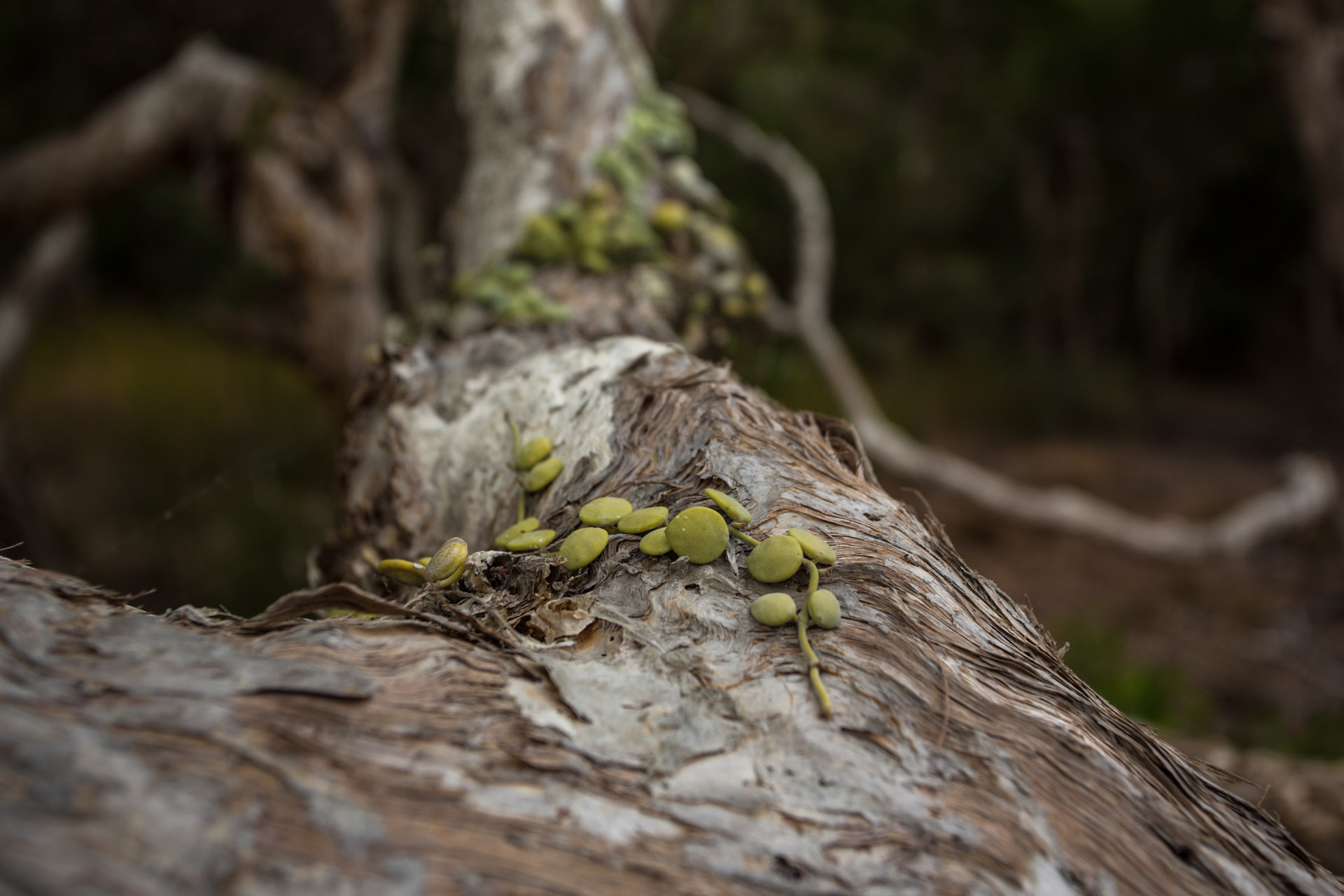
Flowers on Goode
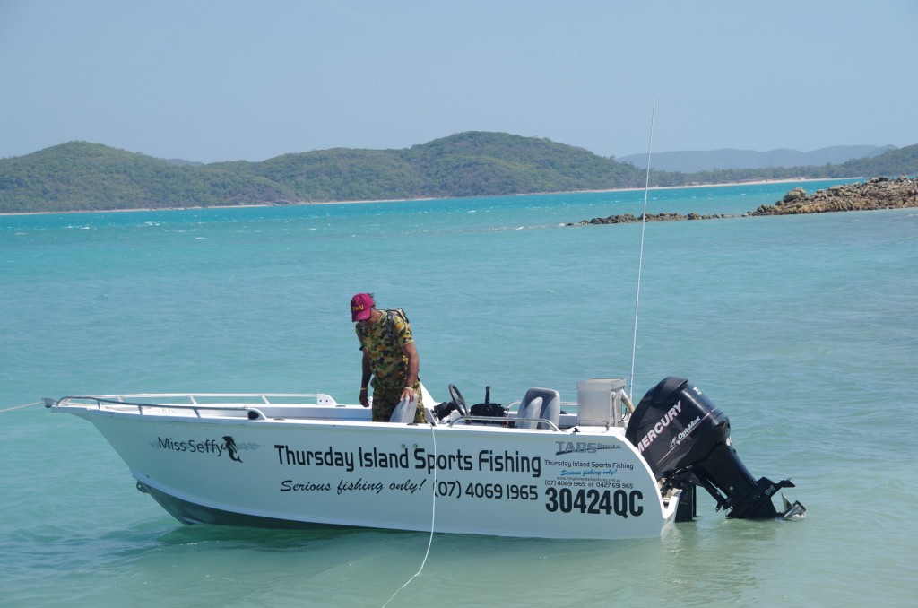
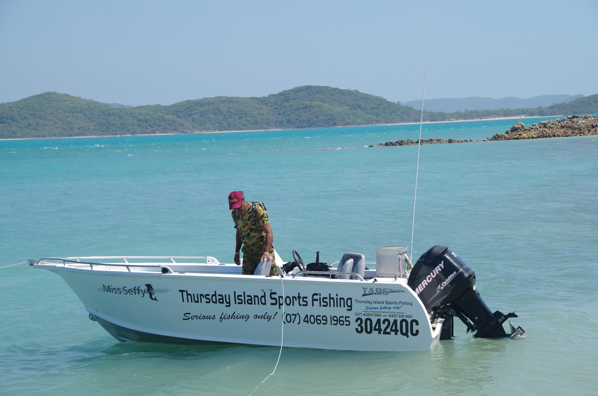
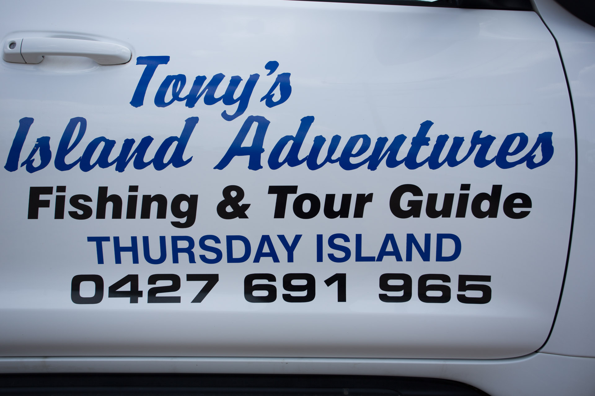
Going out fishing with Tony
(Raman)
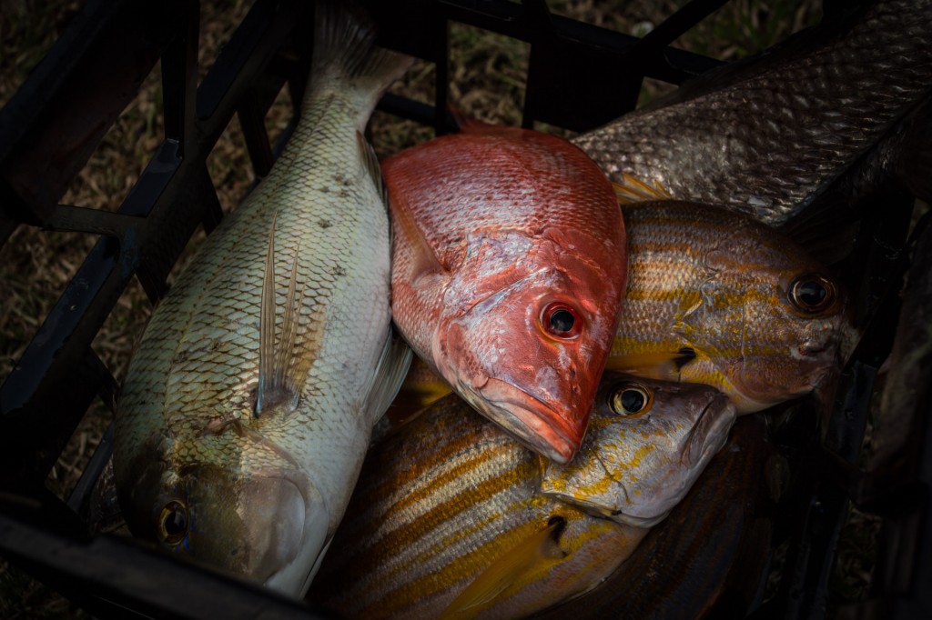
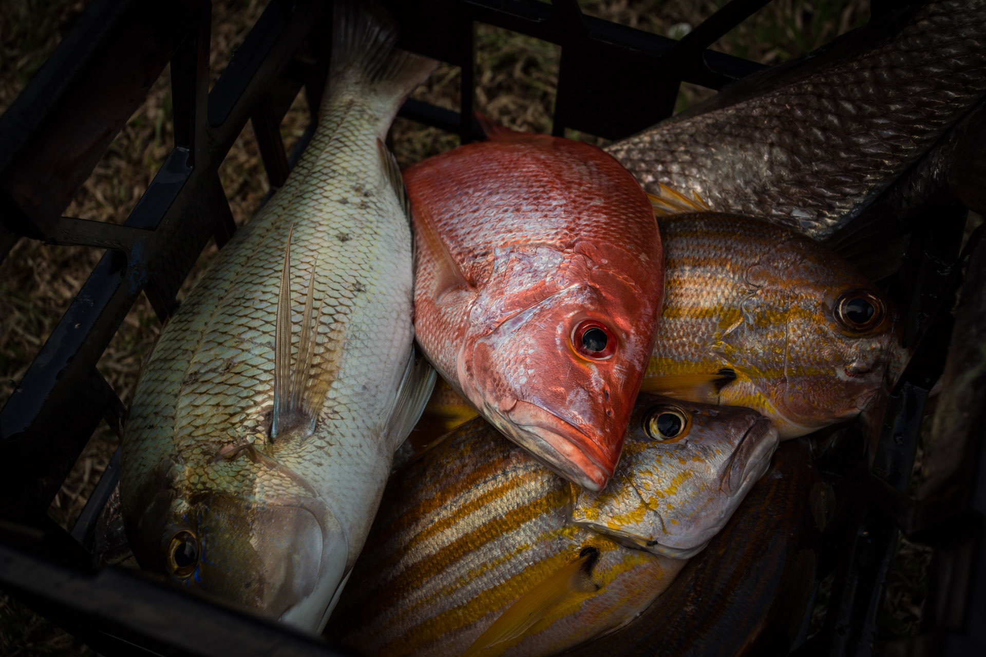
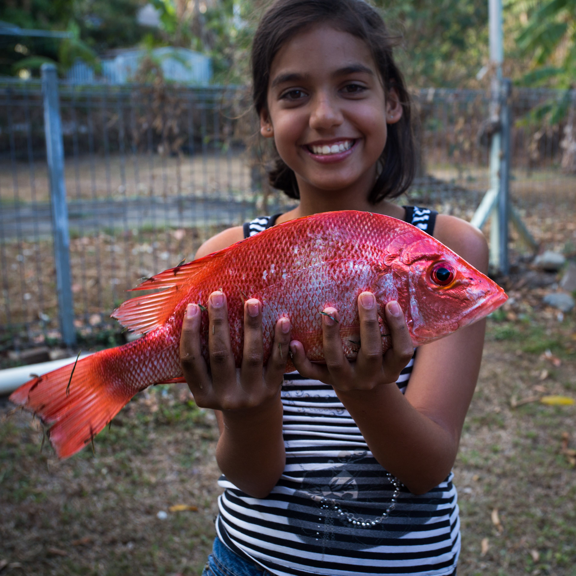
The catch
Another angle of the catch
I’ll let the images of what we caught spark your imagination as to the experience fishing 🙂

Seffwan with Raman’s first fish
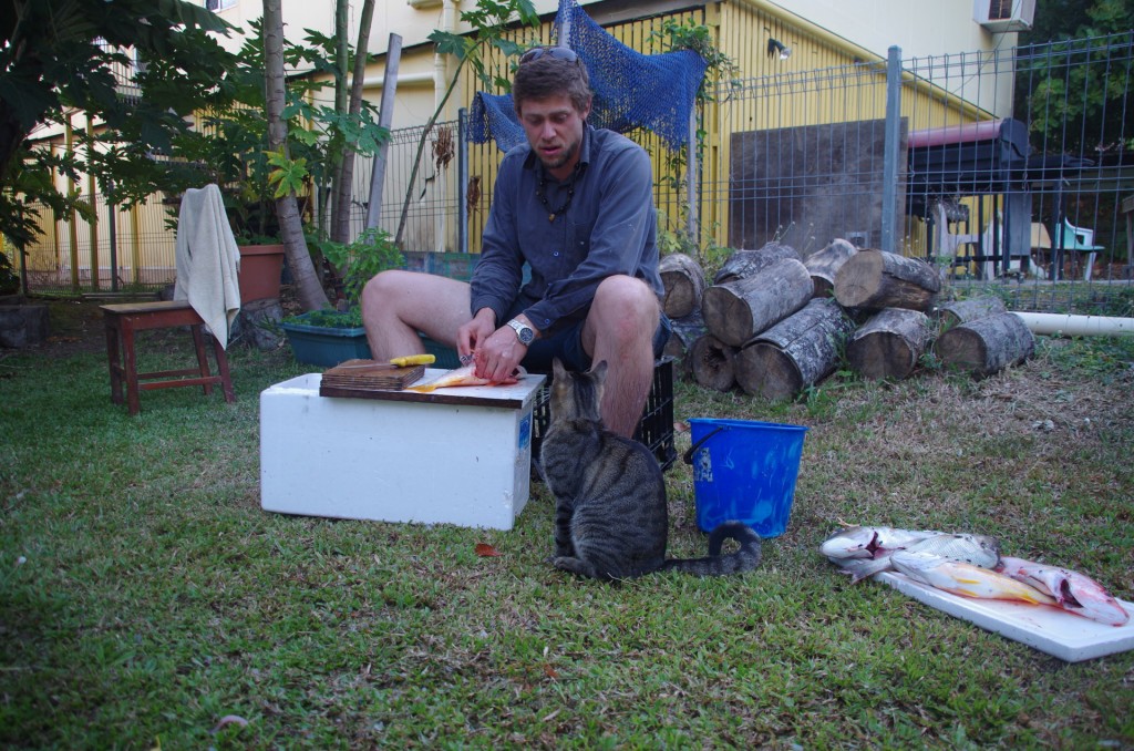
Cleaning the fish later on. Now cat, I have my eye on you. This is my fish.
The cat was very well behaved and I did give it some scraps, which it gratefully devoured.

If you are heading to TI and want an amazing experience fishing with a lovely islander with a great sense of humour, Tony is your man.
We had such an amazing time out fishing with Tony. Thanks so much Tony! I can still feel the rush of the big carnivorous sea fish fighting back and forth as I struggled to wind in my rod and finally hauling aboard a truly beautiful fish that I would savour every morsel of later that evening.
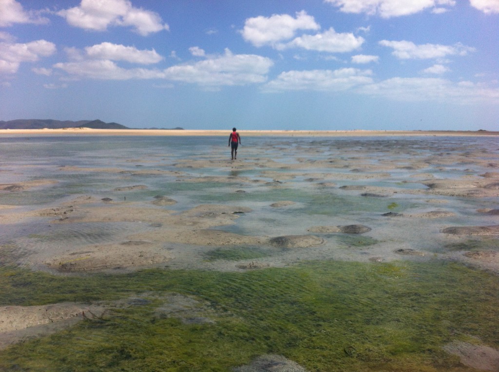
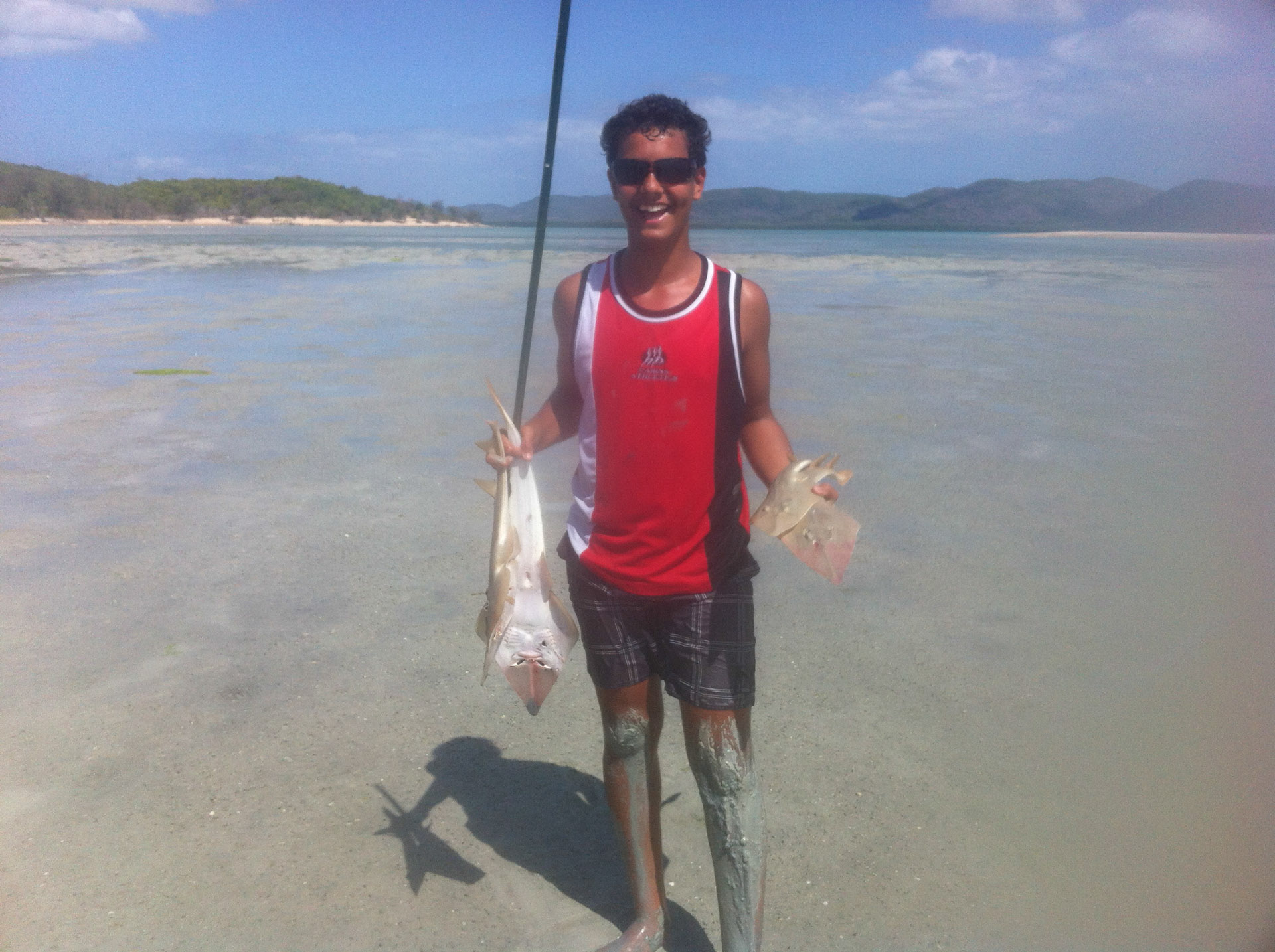
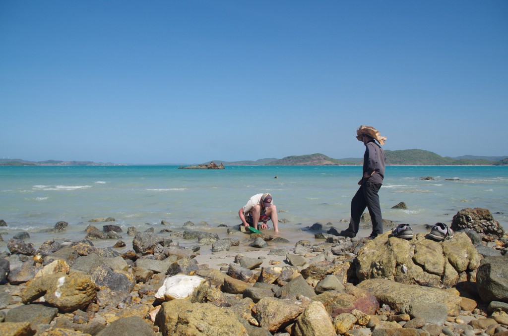
Sutchi at low tide on the mud flats to the west of Friday island looking for shovel nose sharks
One of the best experiences was running though the western mud flats (yes though, not across) of Friday island with a hand made spear chasing shovel nose sharks. My spearing skills are not as…sharp… as Sutchi’s. What an experience though, wow. Sutchi however is very good!

He got five
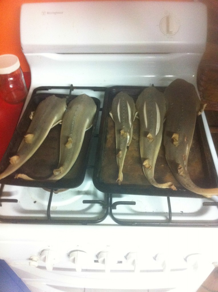
Baked later that evening

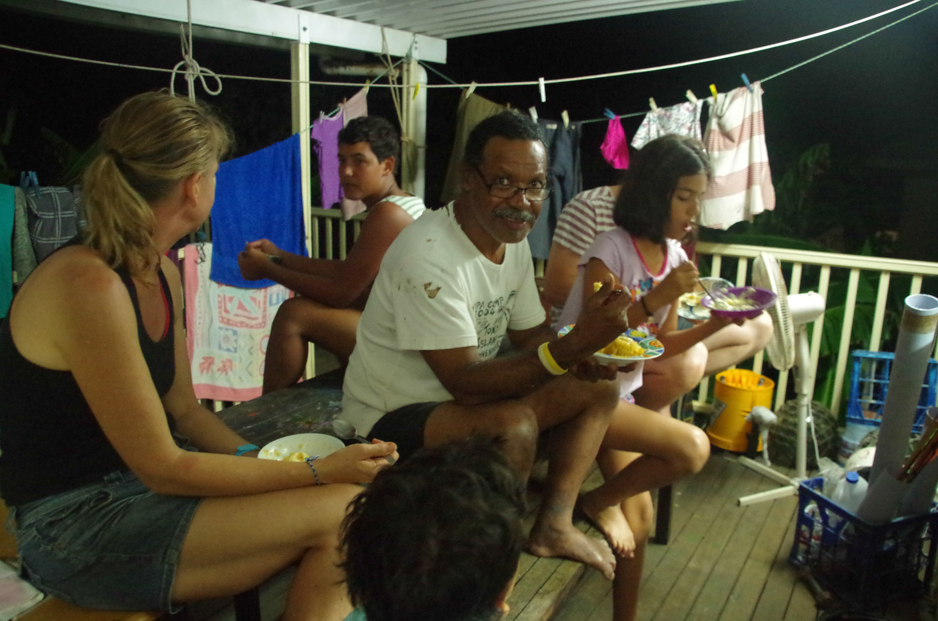
Eating a fantastic meal on the back porch (more air flow as it is very warm up here at around 24 at night) based on the fishing earlier that day (Raman)
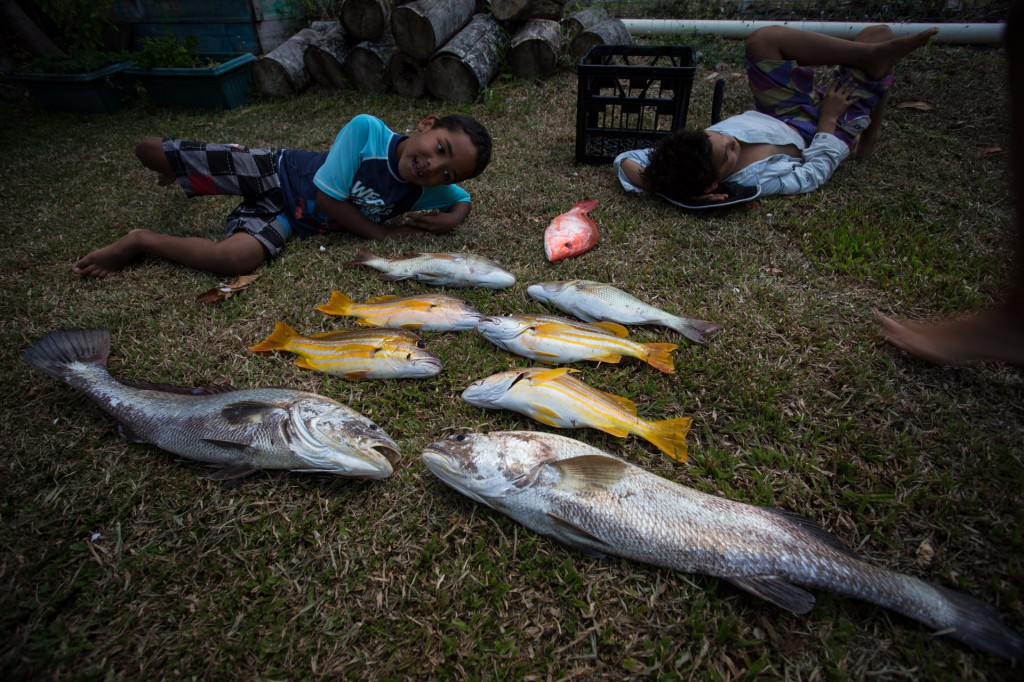
It may seem like we did take lots of photos and I guess there are more than I thought. Still there are lots of great times that are missed and will remain as memories like the snorkelling and diving for cray fish. There’s another thing I am very much a beginner at. I didn’t get a one but it was a fantastic time never the less. Sutchi and Dusty made up for my shortcomings and provided nine crays for dinner. Eating from the sea here is quite literally luxurious. The fish is delicious and then you eat the cray…
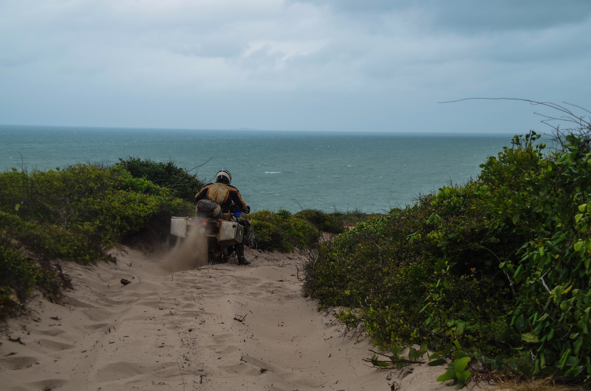
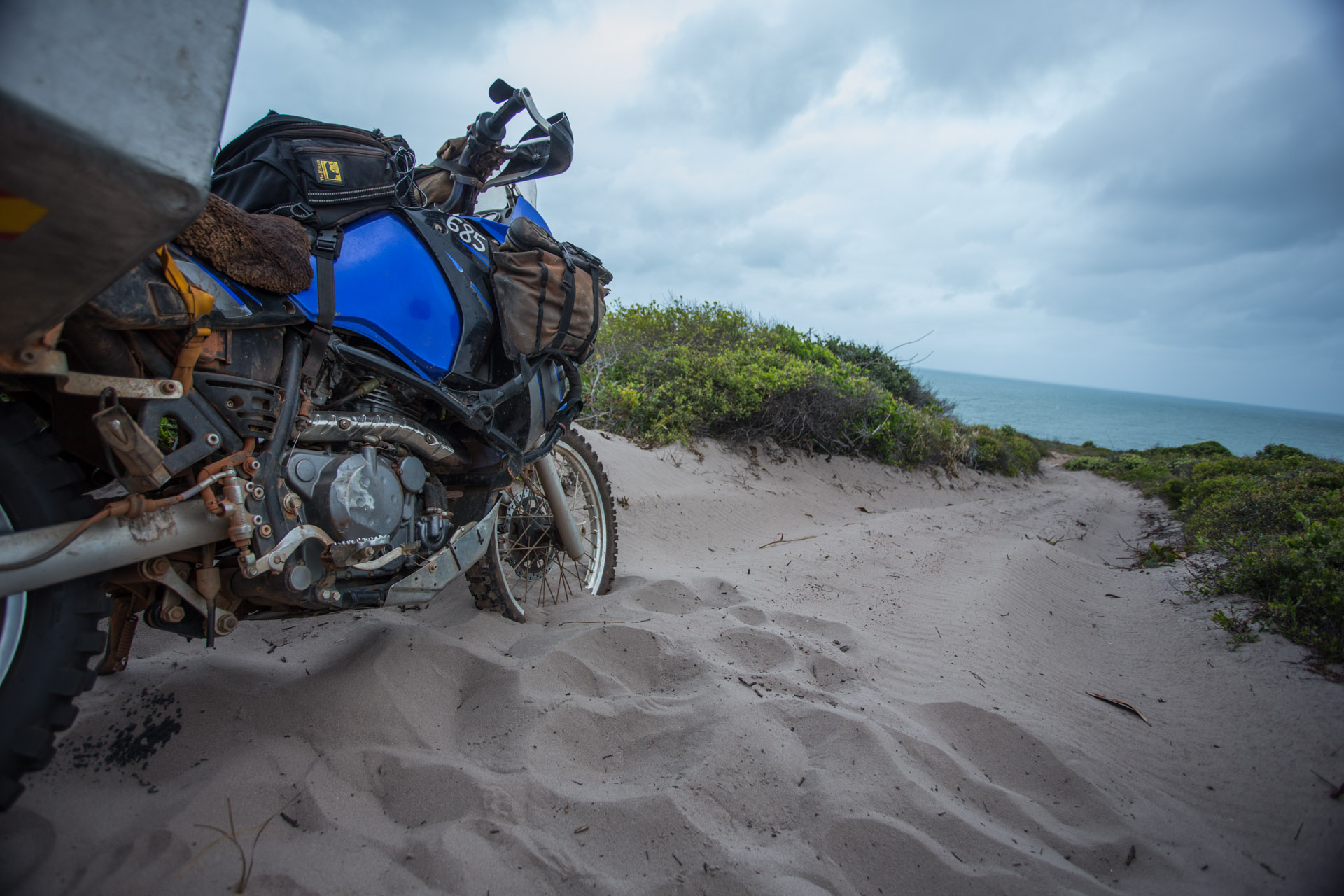
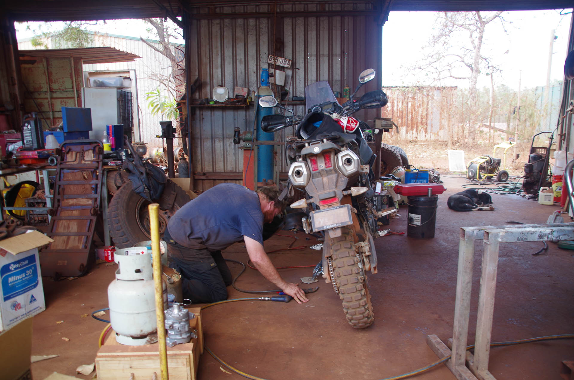
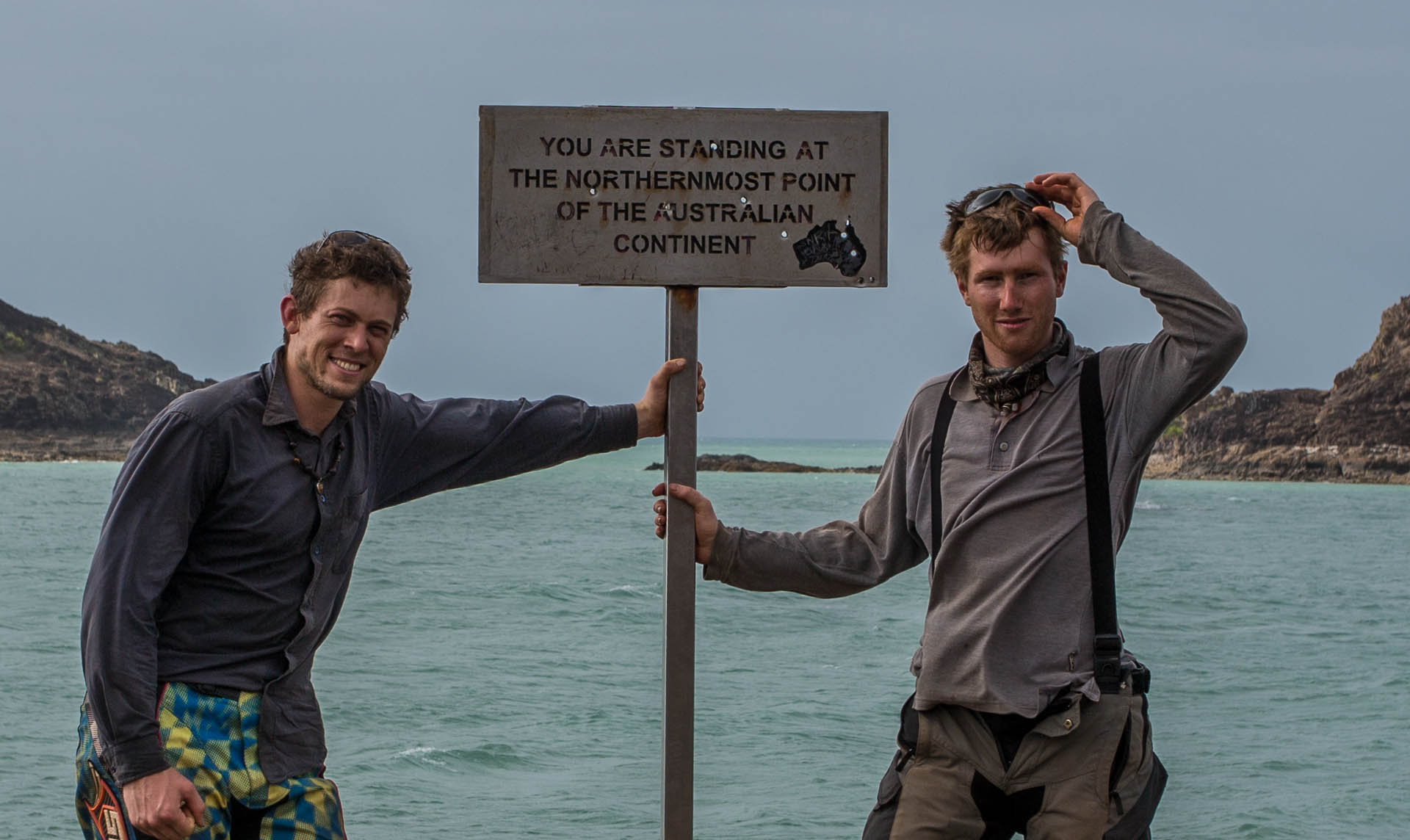
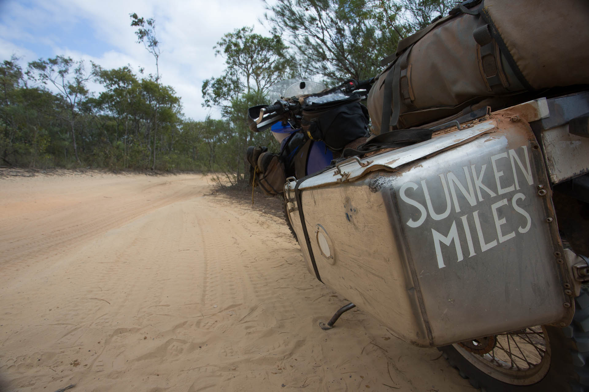
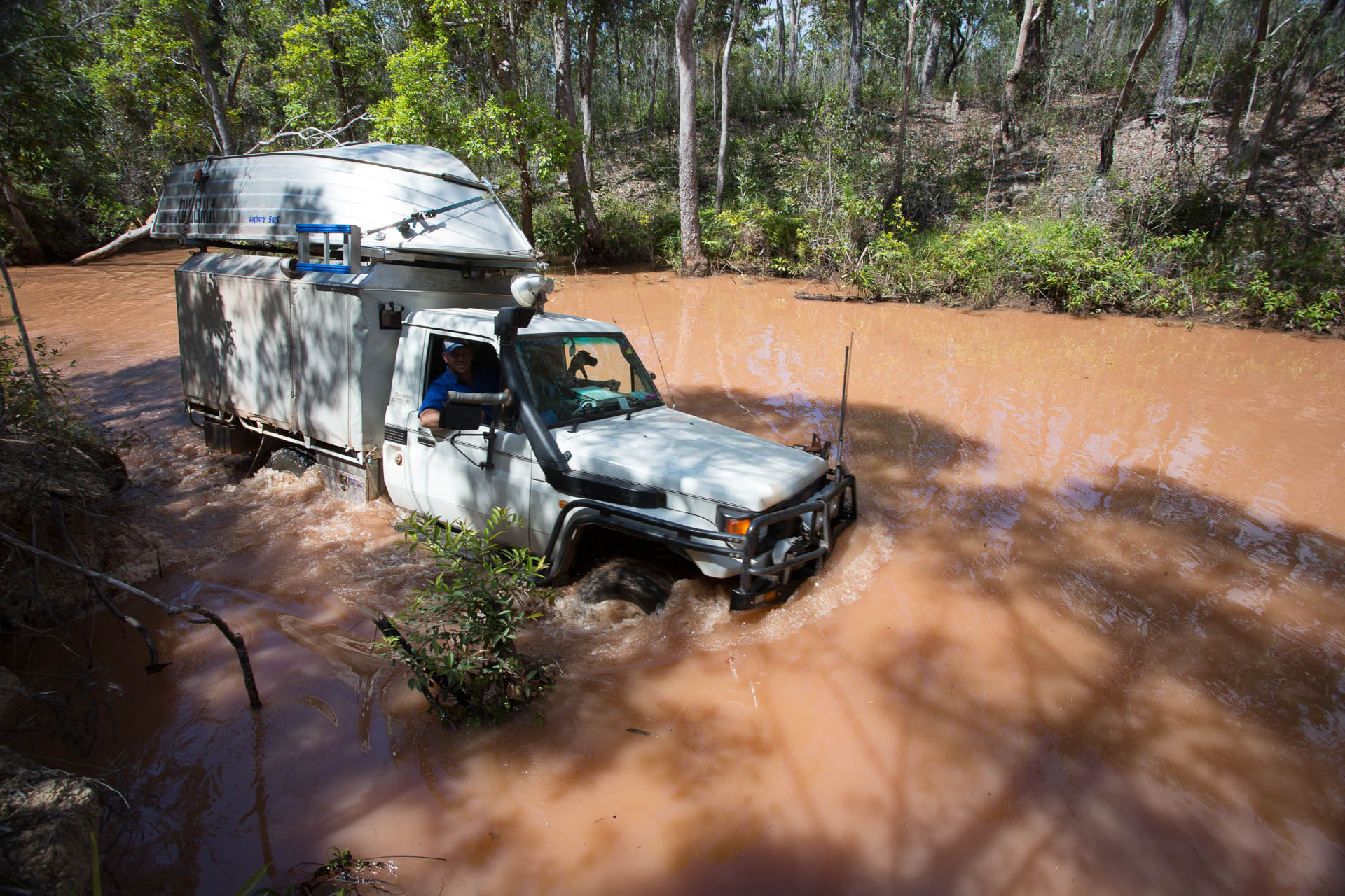
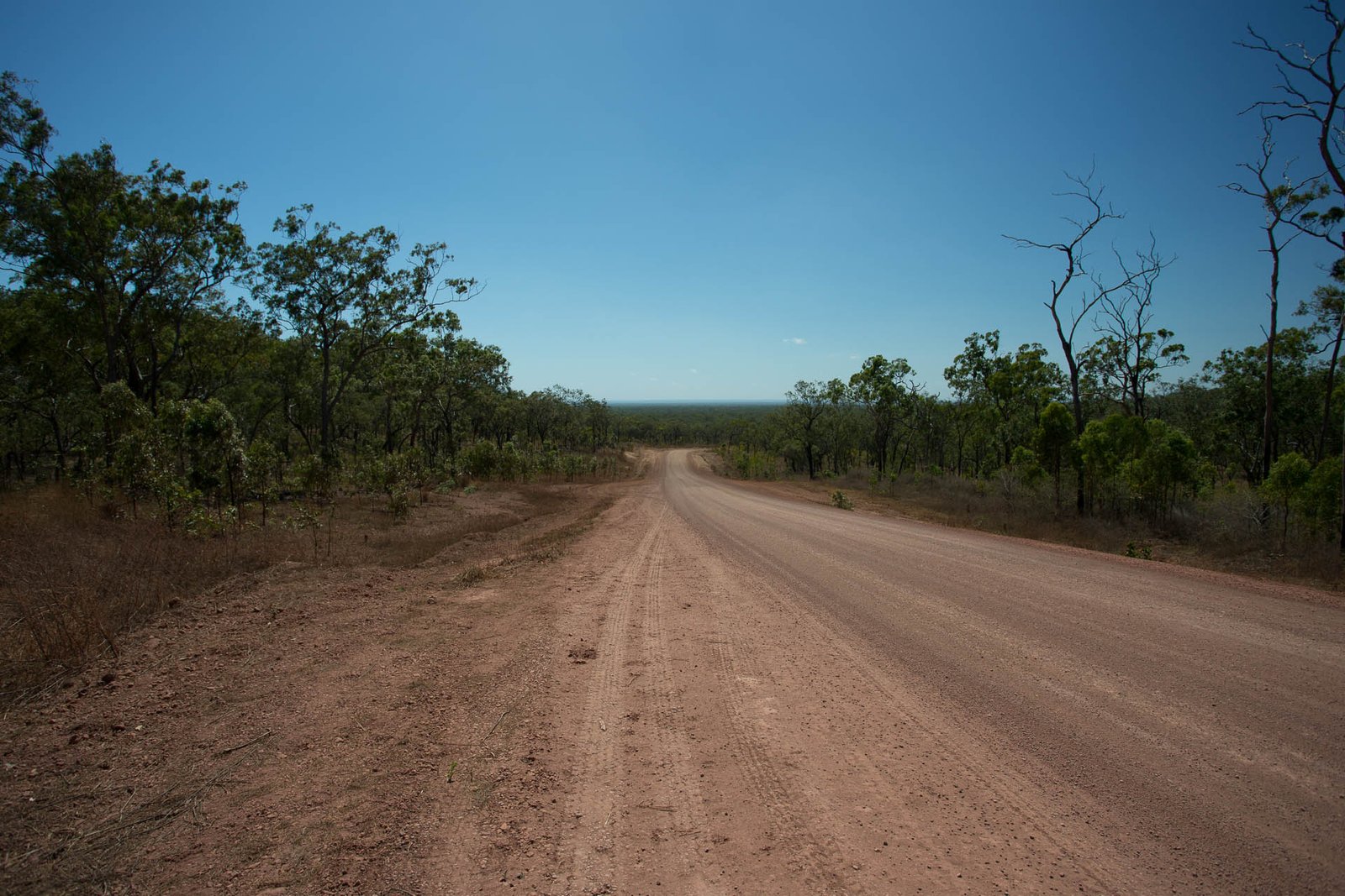
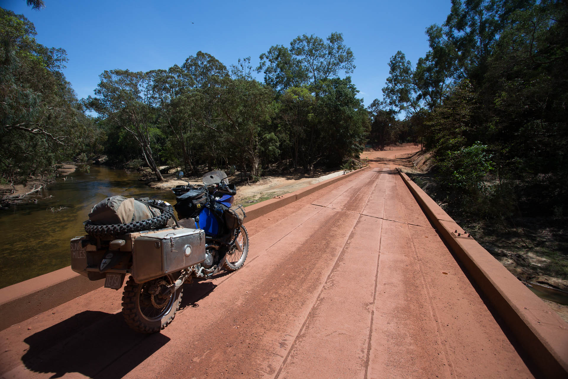
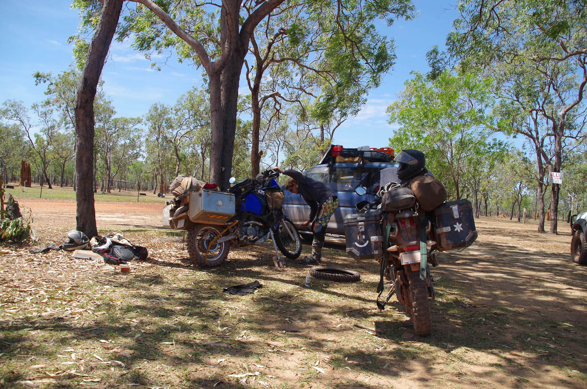
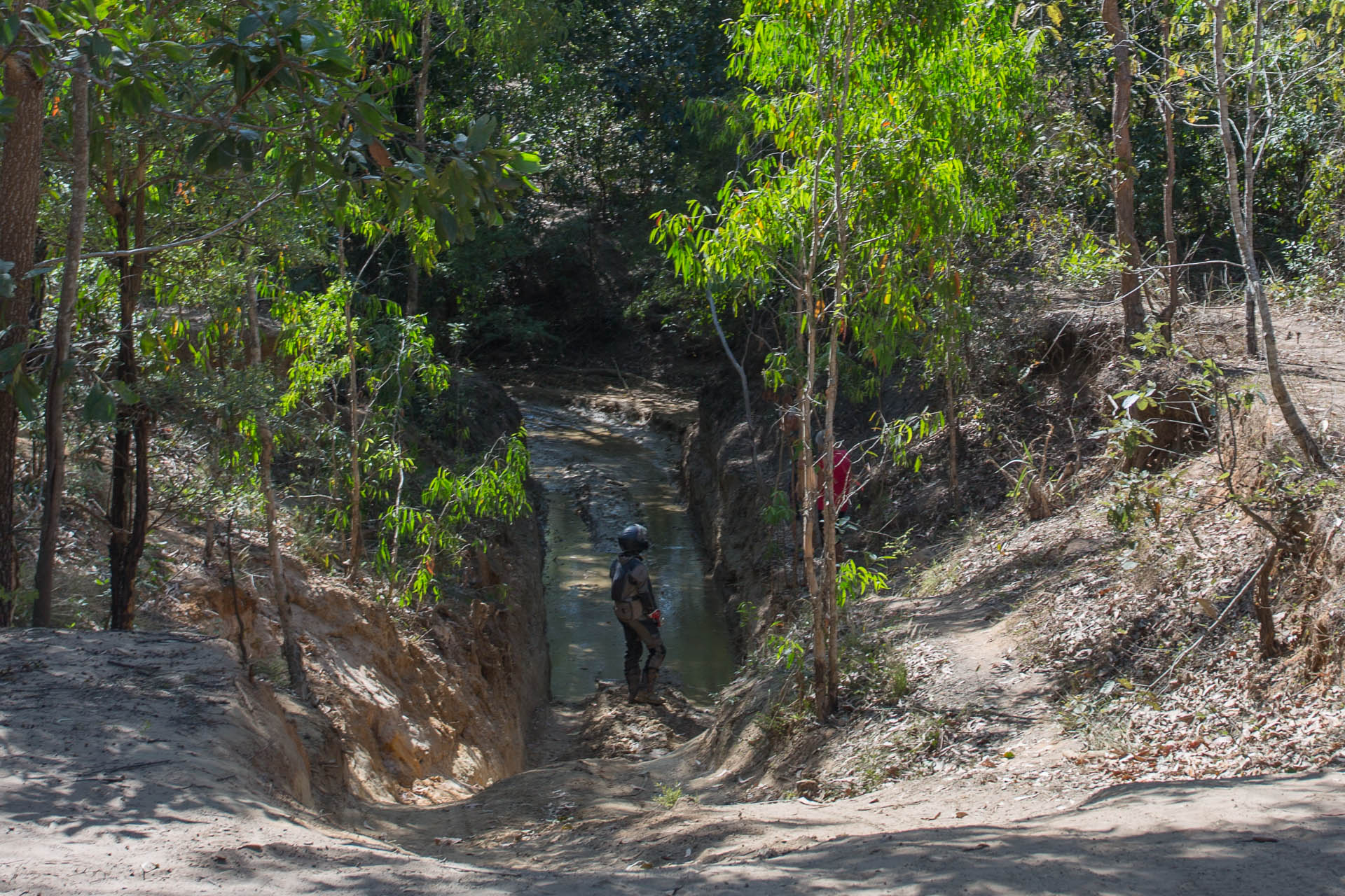
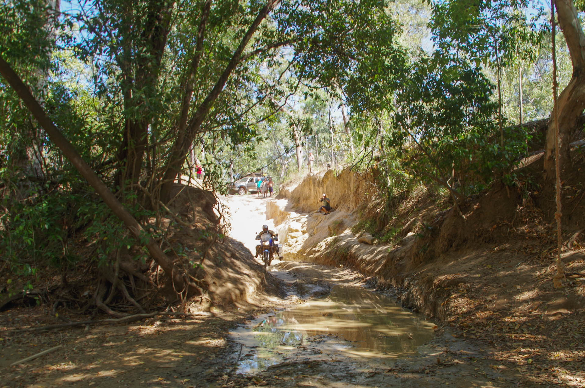
Still the time has come for us to return to the main land, don our wheels and begin our journey south. What exactly the journey south will look like I am unsure but I feel it will likely be a quite different from the 14,000km adventure that delivered us the the northernmost tip of our continent.
Before leaving TI, we headed up the hill to the WWII Green Hill Fort for a little “tourism”. Most people who visit TI do a day trip over from Seisia and the fort is most of what they see.
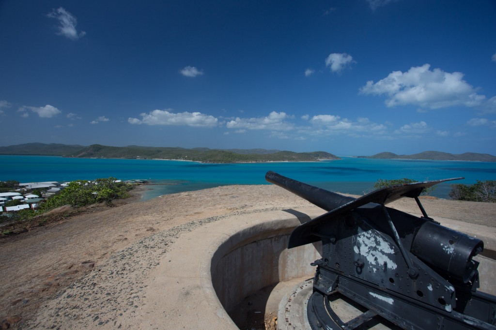
Green Hill Fort
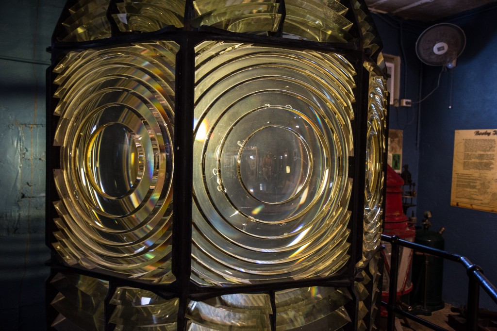
A Fresnel lens from a light house inside the museum at Green Hill
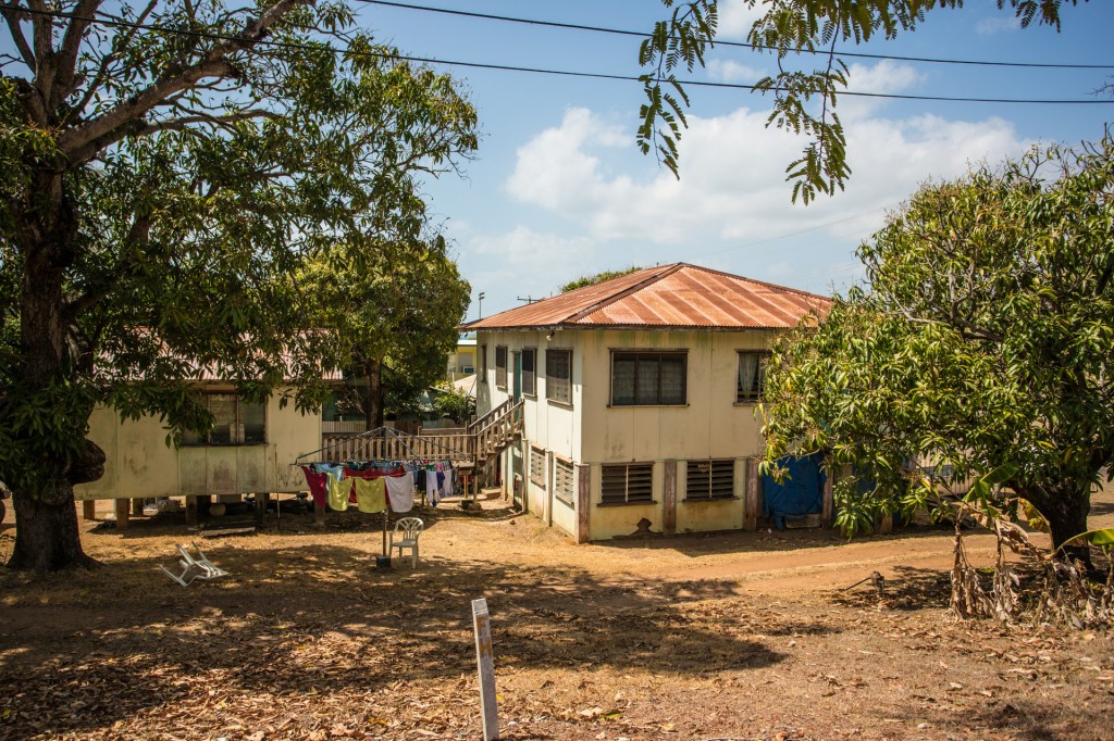
One of the older houses just up from the Titasey residence
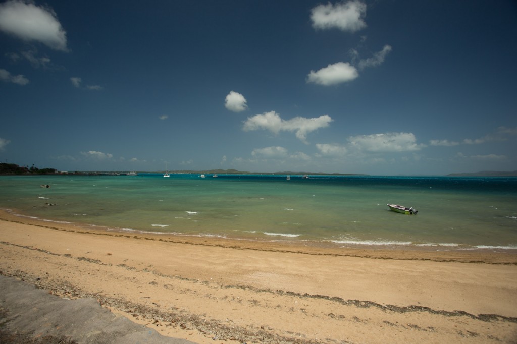
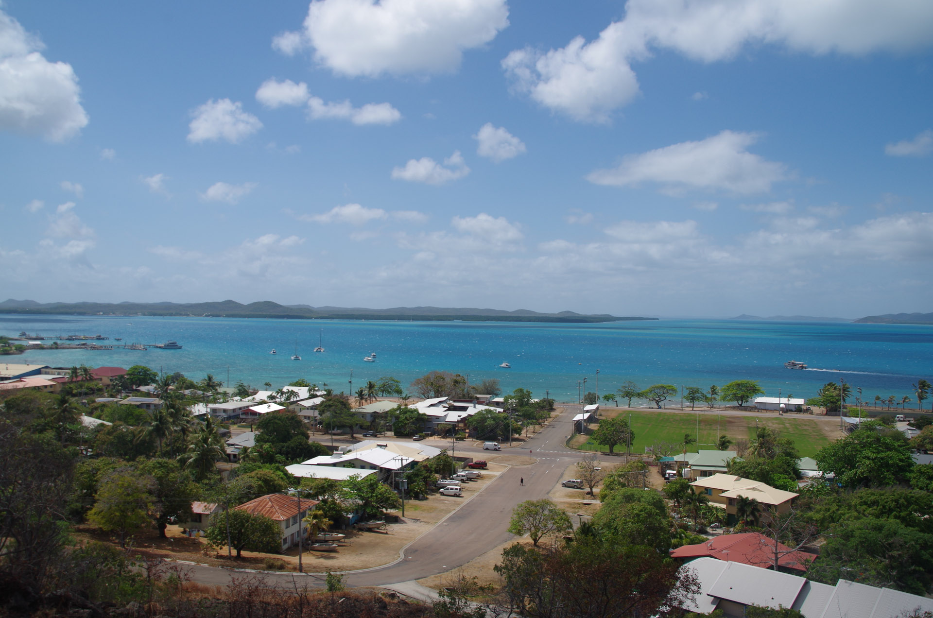
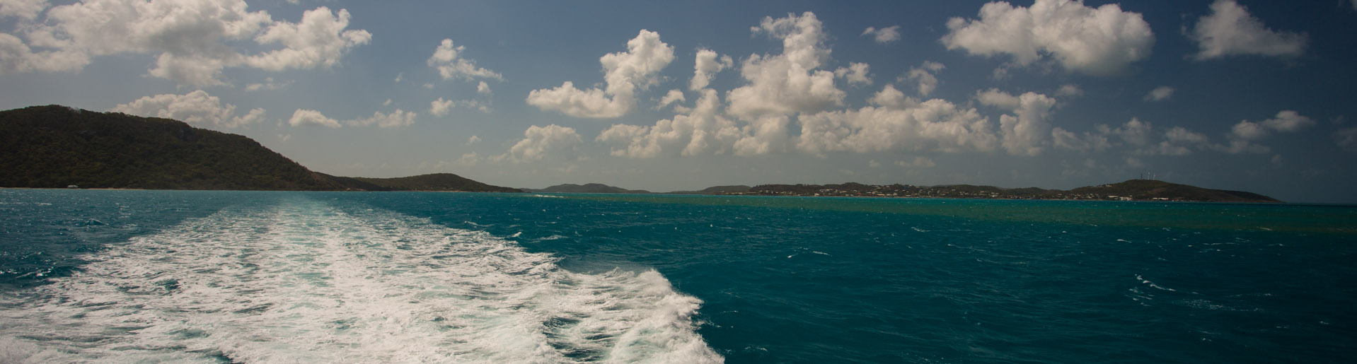
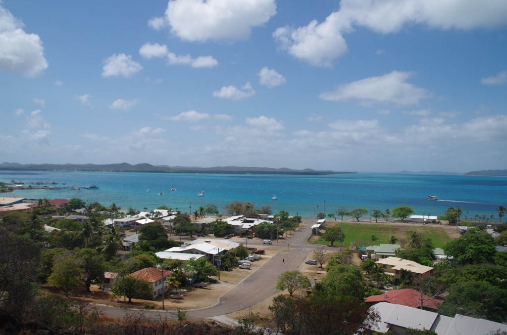
The TI harbour as we left this amazing little island.
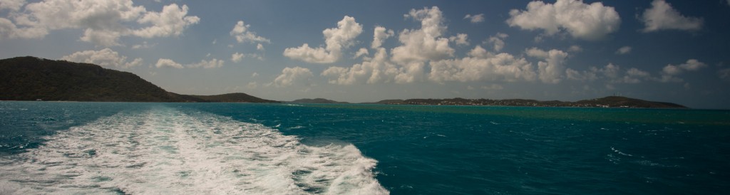
Watching TI disappear into the distance as we return to the mainland
Good bye and thank you so very much to Catherine and Tony Titasey. You have given us so very much. One day we hope to see you down south. You are always welcome. We would love to show you our home, take you hunting and walking in the forest and share with you our world.
Catherine, good luck with your book, My Island Homocide. I wish you the best writing the sequel.
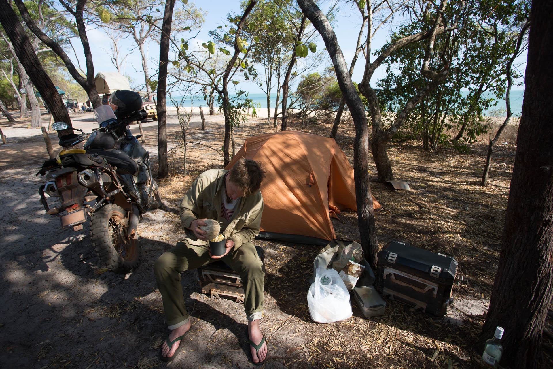
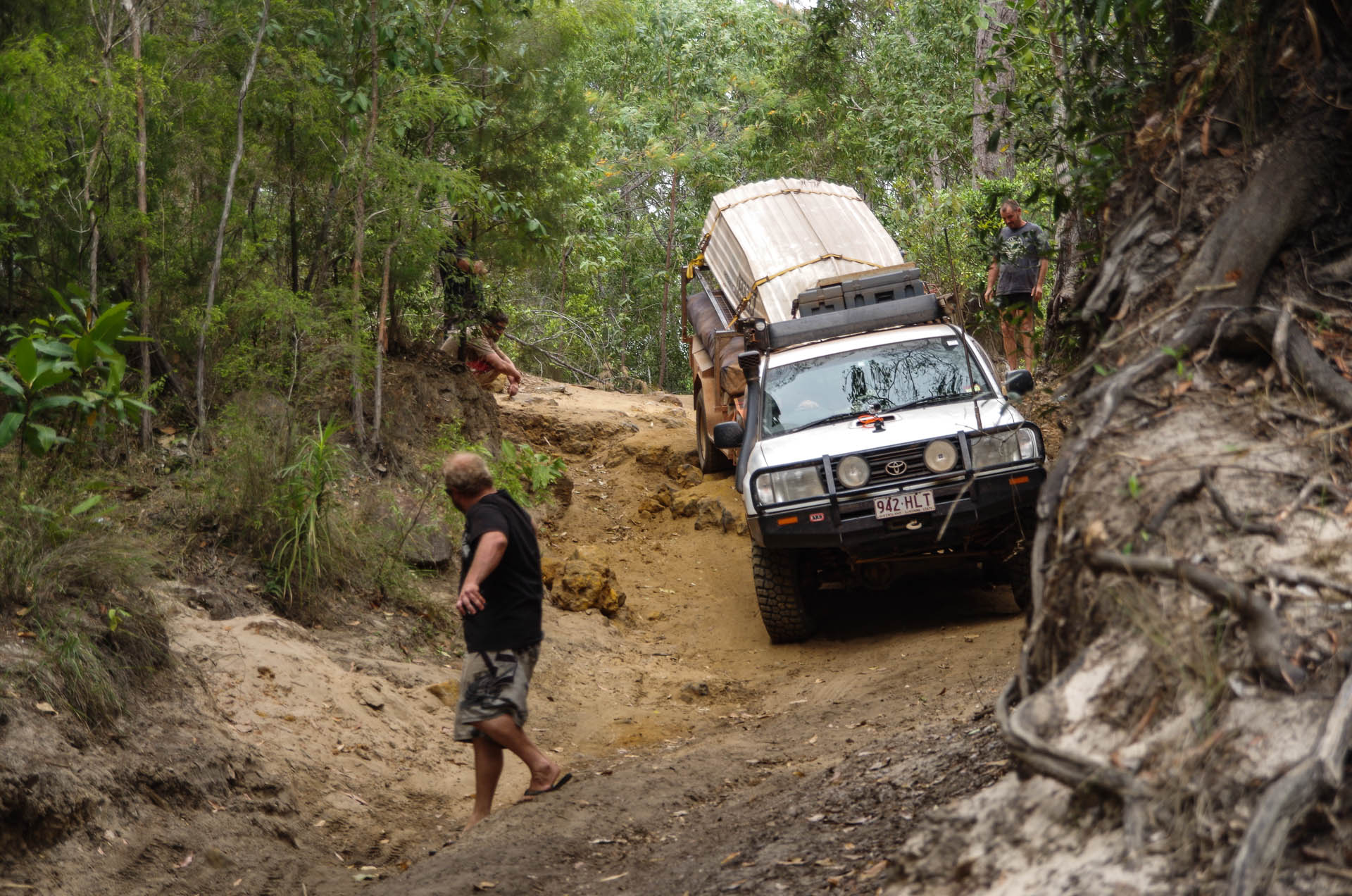
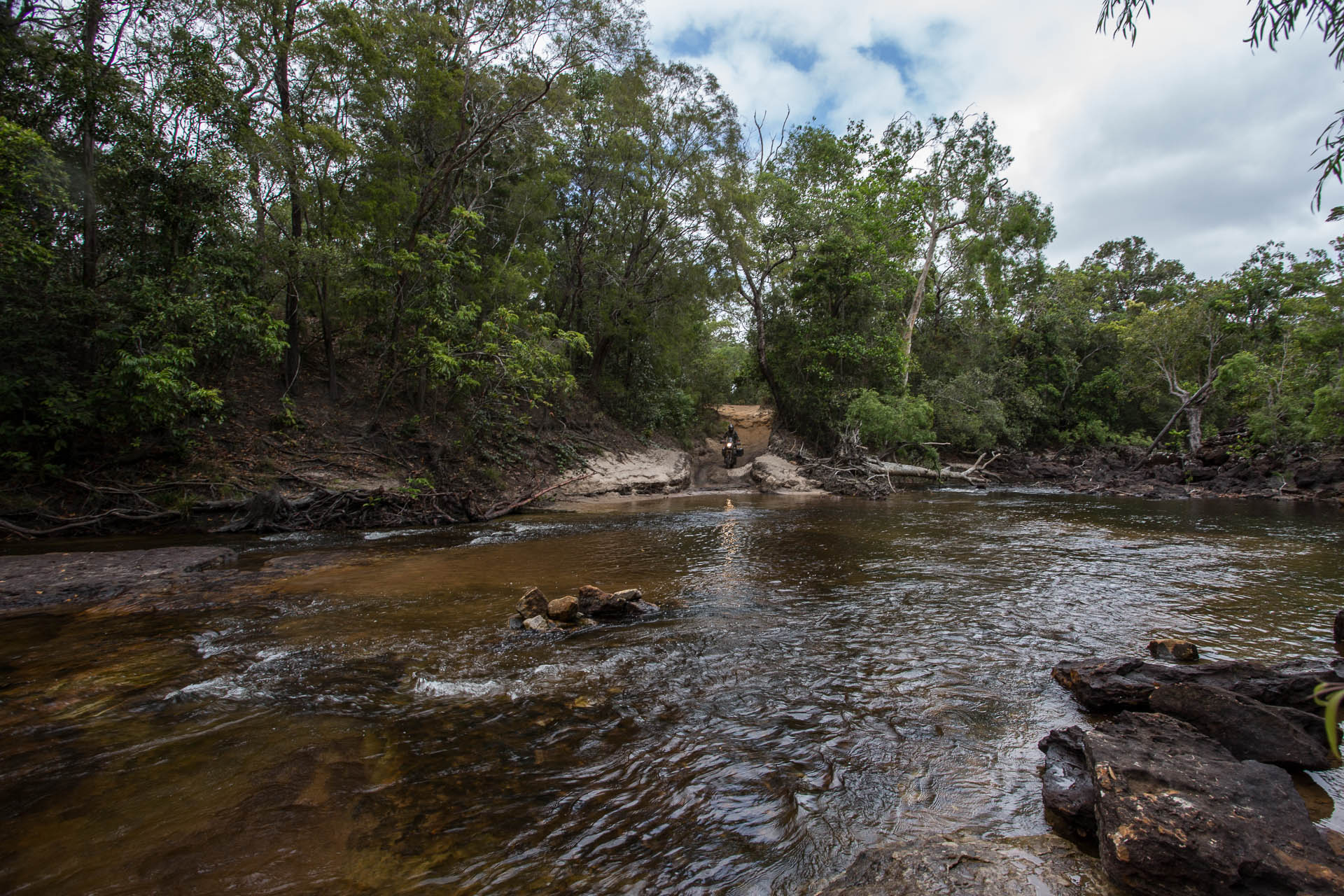
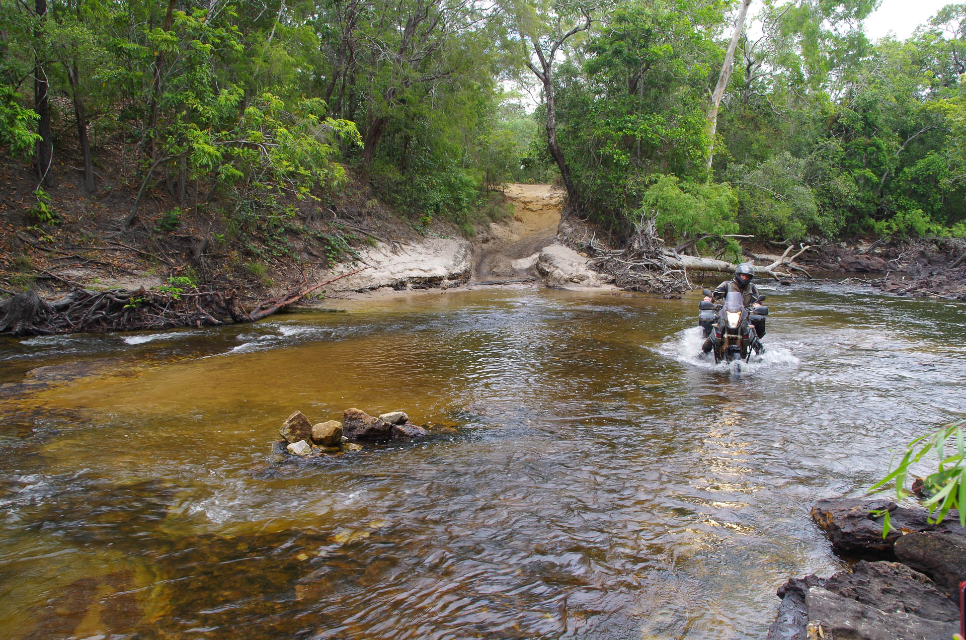
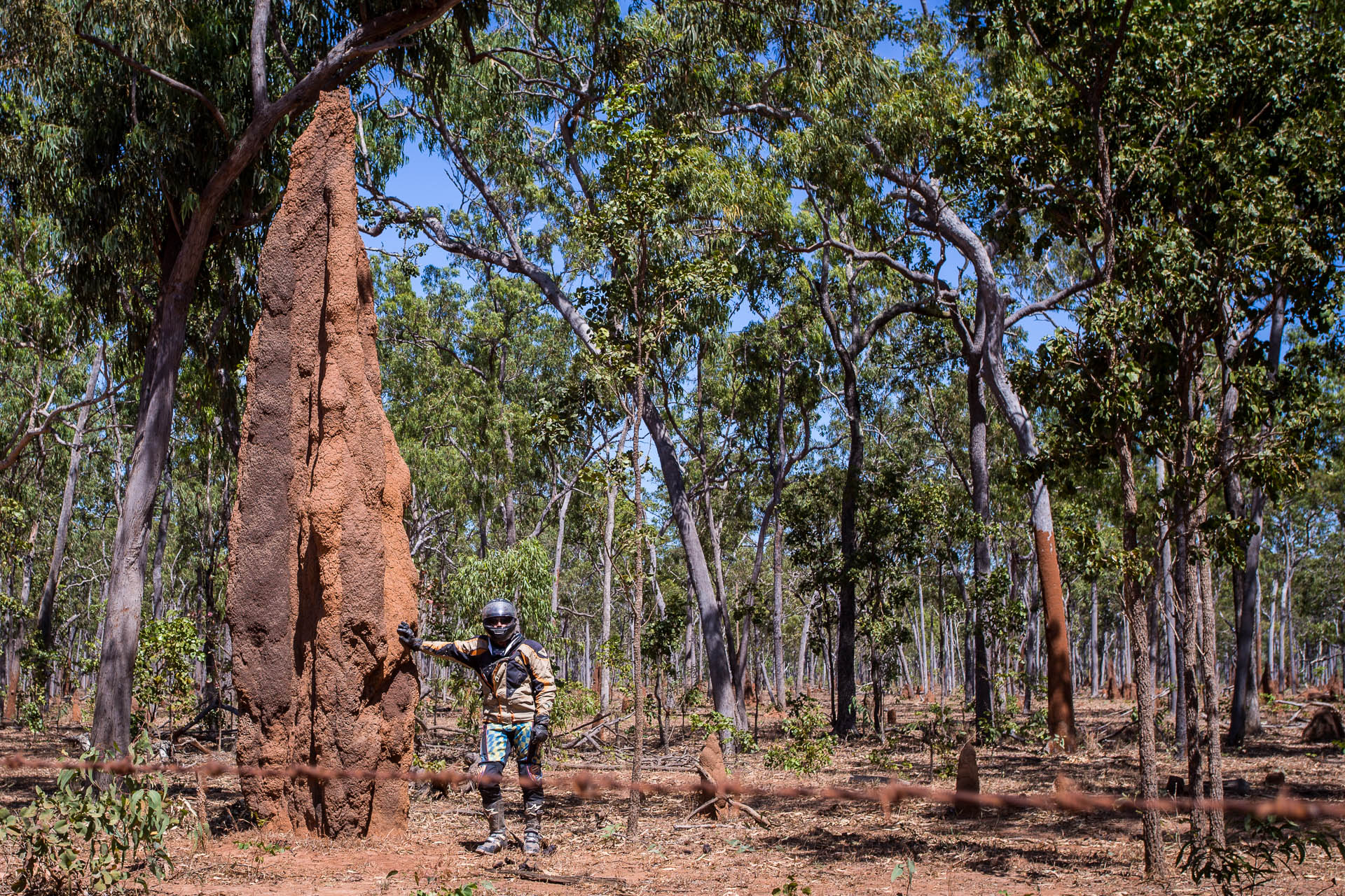
Back on the mainland, Seisia
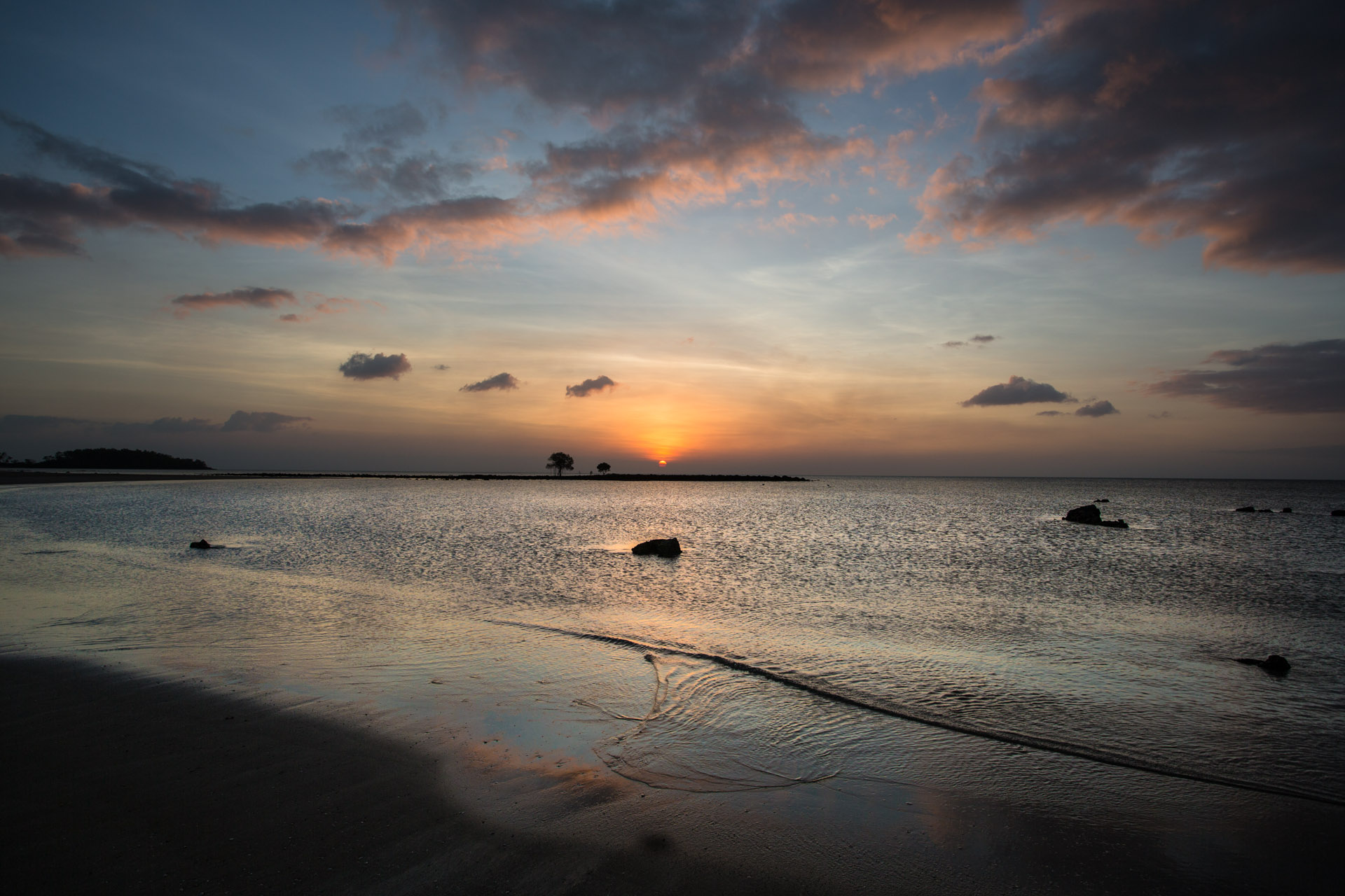
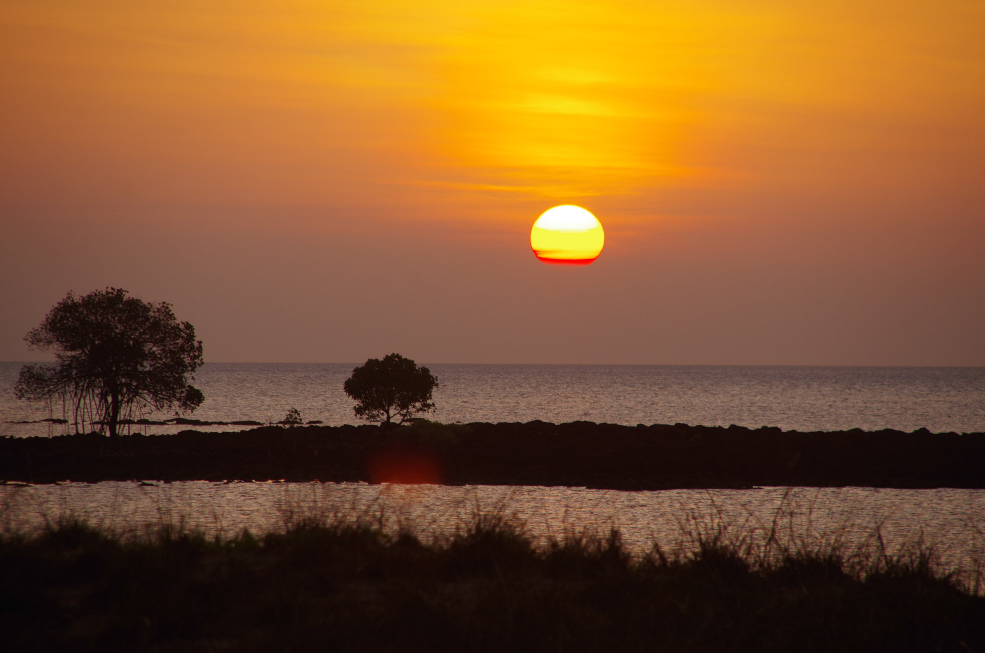
And so I close this chapter…dreaming of islands….
The door to the second half of the Sunken Miles adventure is open in front of us. From here there is only one way, south.