Day 1: Tuesday 7th of May
The Wild to Mt Disappointment
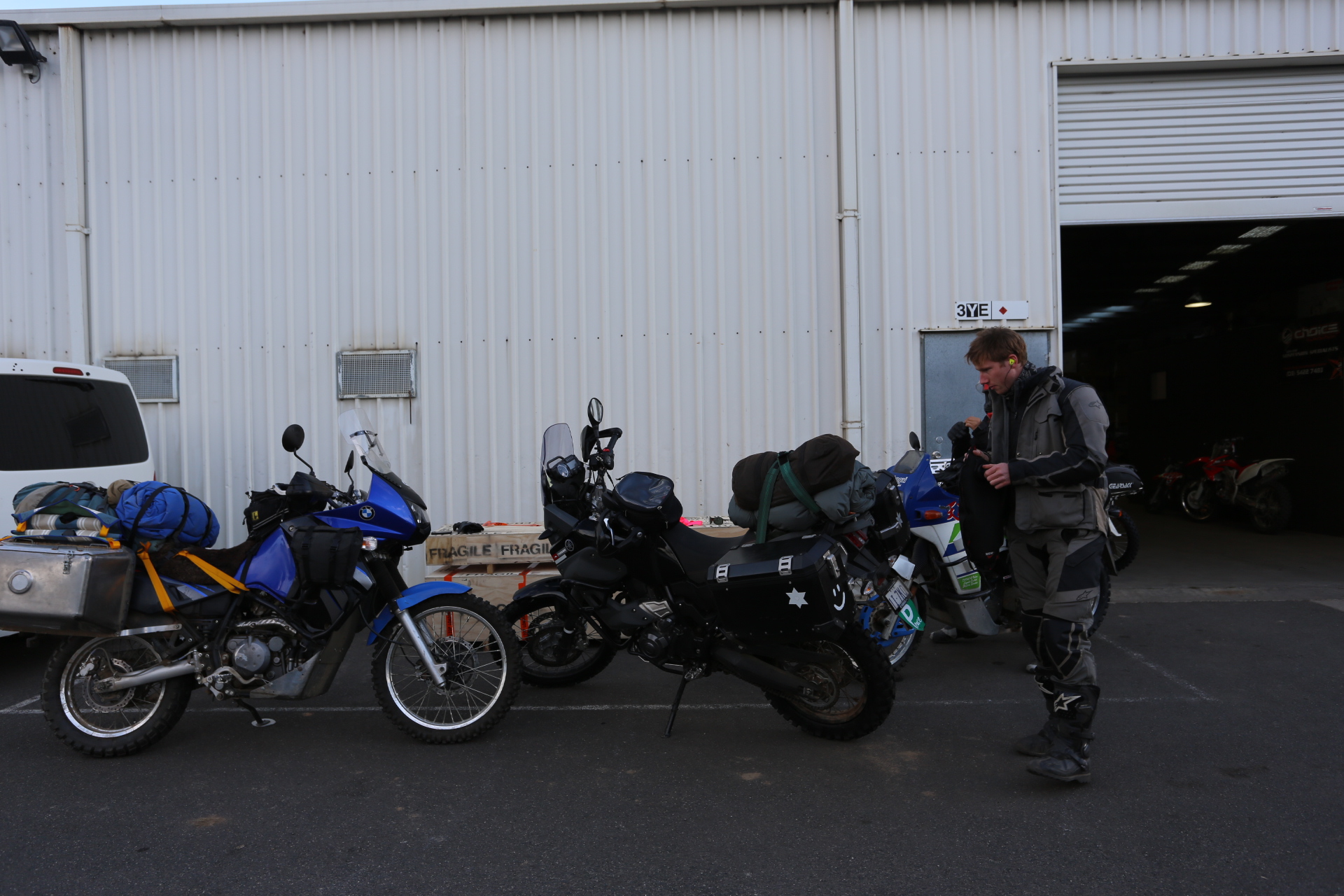
Vince and I got up early, packed our things, strapped on the tyres I had bought said goodbye to The Wild.
Leaving The Wild
A few miles away in Fryerstown, we meet up with Raman.
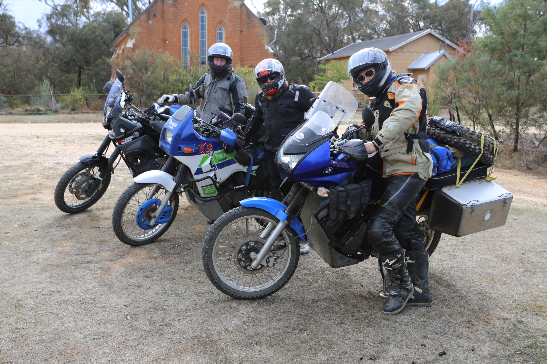
Three is company
Bolton’s in Kyneton helped us get fresh rubber fitted. Confidence for uncertain miles ahead.
New tyres for the adventures to come
And…after much to do we finally got away at about 4pm. Heading toward Wallan and Mt Disappointment. With the sun setting behind us and the rain falling ahead we powered on to our first camp to the north of Mt Disappointment. Beautiful light and rainbows made the late afternoon something to remember. Maps were not yet easily accessible and the navigation to our first camp pushed on into the night. Shortly before finding camp we descended a particularly steep hill in the dark, leaving us grateful for the excellent traction afforded by our new knobby tyres.
Day 2 Mt Disappointment
Heading up over the mountain began to bring home the fantastic reality that we were on the road.
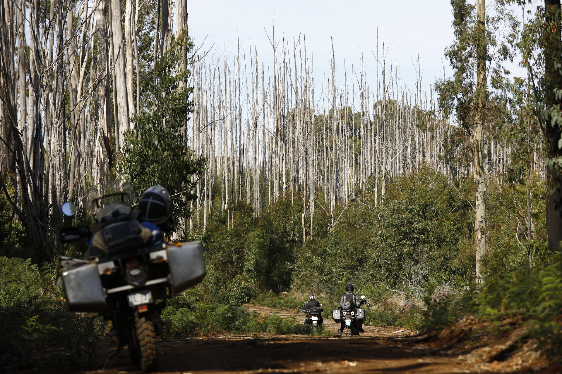
Fire in the Vic high country has left tens of thousands of hectares of white trunks stark agains the sky. I exhibited a few high altitude examples in my 2011 exhibition, PATTERNS.
Vince was keen to see some of the Toolangi forest so we headed up Mt St Leonards. An amazing climb brought us to a lunch spot in the shadow of enormous mountain ash.
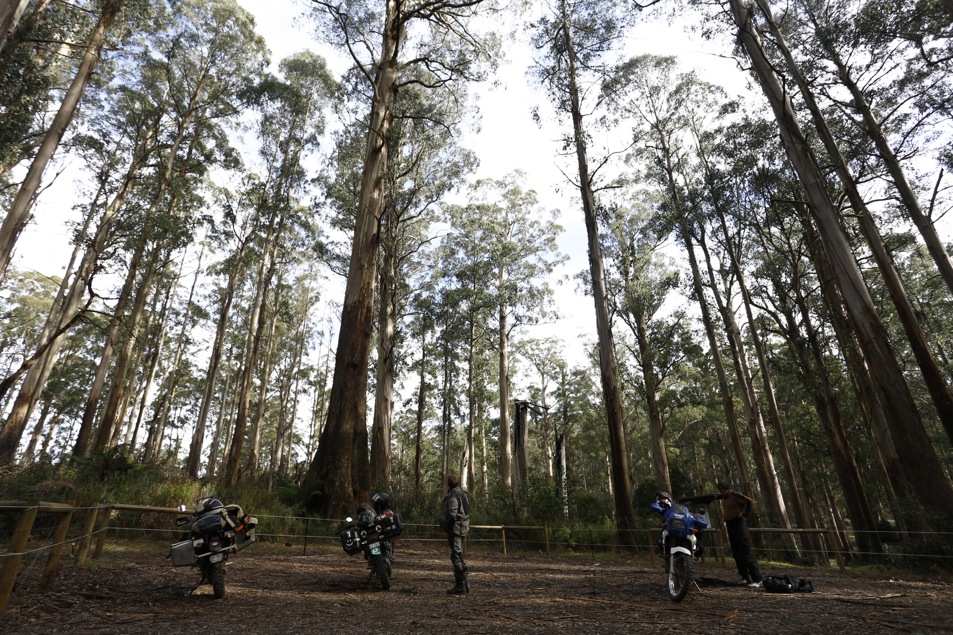
Huge Mountain Ash on Mt St Leonards
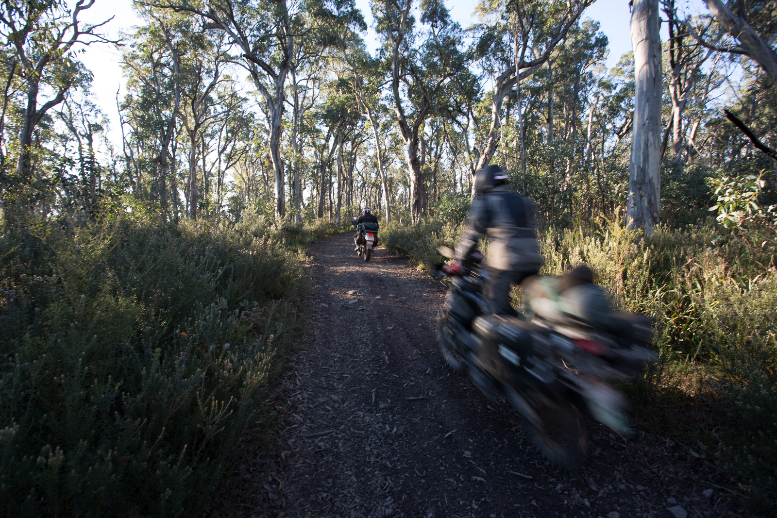
Some great riding followed and we all enjoyed the small mountain trails on Mt St Leonards. The adventure was well under way.
After finding our way back on the main roads we refuelled and stocked up at Marysville before heading toward Matlock. I realised I had passed Cumberland Junction several times prior, unaware that I was passing some of the tallest trees in Australia. We passed the junction and shortly after dropped down to the Big River and camped at Stockmans Reserve.
Late in the evening I got into some of the maps I had prepared for the trip. loading some onto my phone that works as an offline GPS for the following days.
I did a bit of tech bandaid/magic and got an ungeoreferenced PDF of the HEMA Vic high country maps onto the GPS for the following days. I considered GEOreferencing it but in the end found a better solution before I managed to.
Day 3:
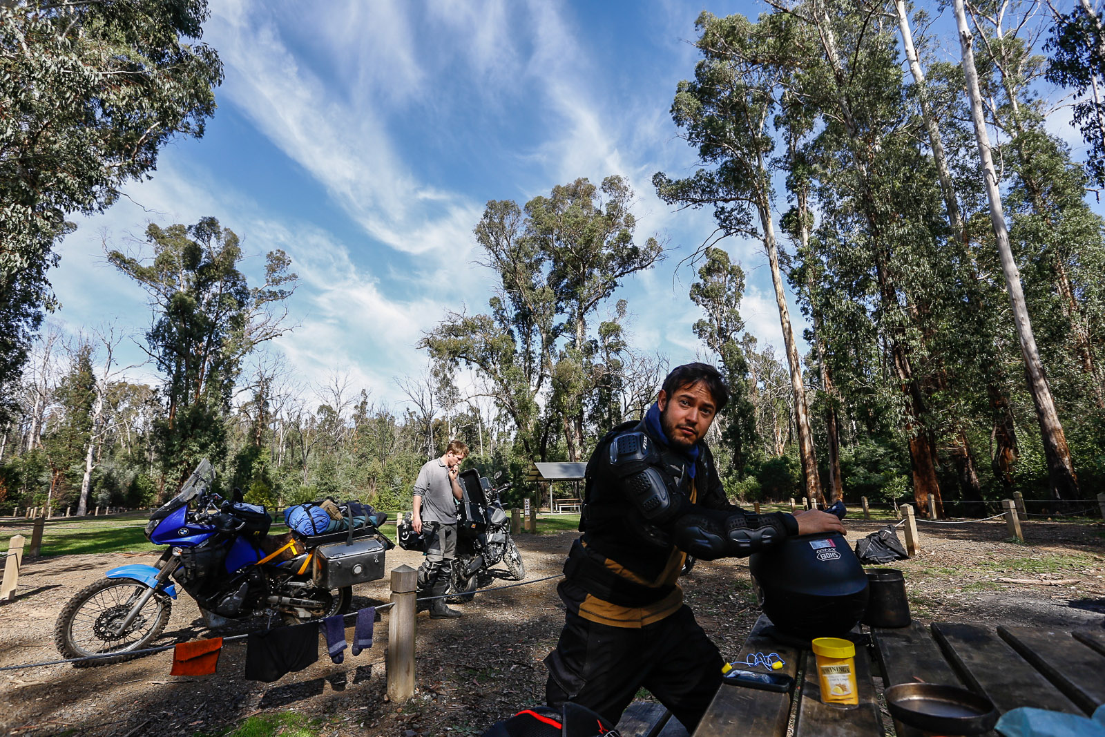
We woke to mist in the canopy of the Mountian Ash.
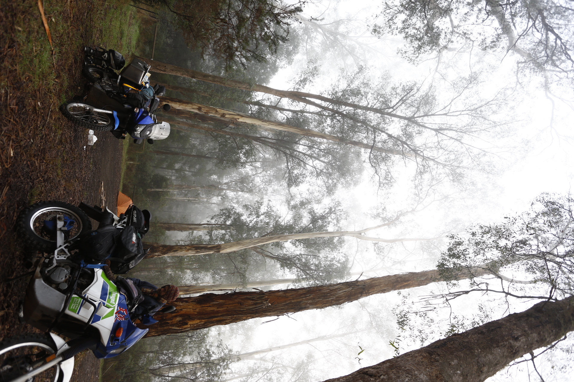
Myst at Stockmans
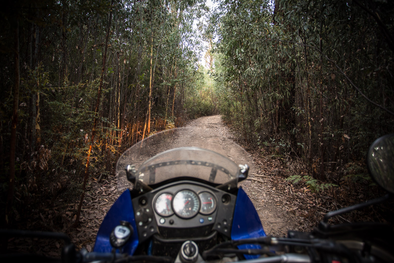
Heading out from Stockmans, we followed some small trails up the valley bottom using the HEMA map that I loaded the night before. Mud got worse and finally, after some battles in the mud and a little scouting decided the trail was better left un trod. Going back the way we came felt a little strange but we only had a short distance to go before an alternate route was possible. The alternate route took use along the valley bottom again but shortly climbed steeply up to the Matlock road.
Being on the ridges again was great for our spirits and the views were more rewarding.
A top the hills at Matlock for lunch

Woods Point: Coffee and Hops
Dropping down to Woods Point took us on more amazingly tight and windy gravel roads. Raman grabbed a coffee and I picked some hops from vines growing in front of the pub.
A fascinating little place Woods Point! Amazing mining relics in spectacular precipitous country.
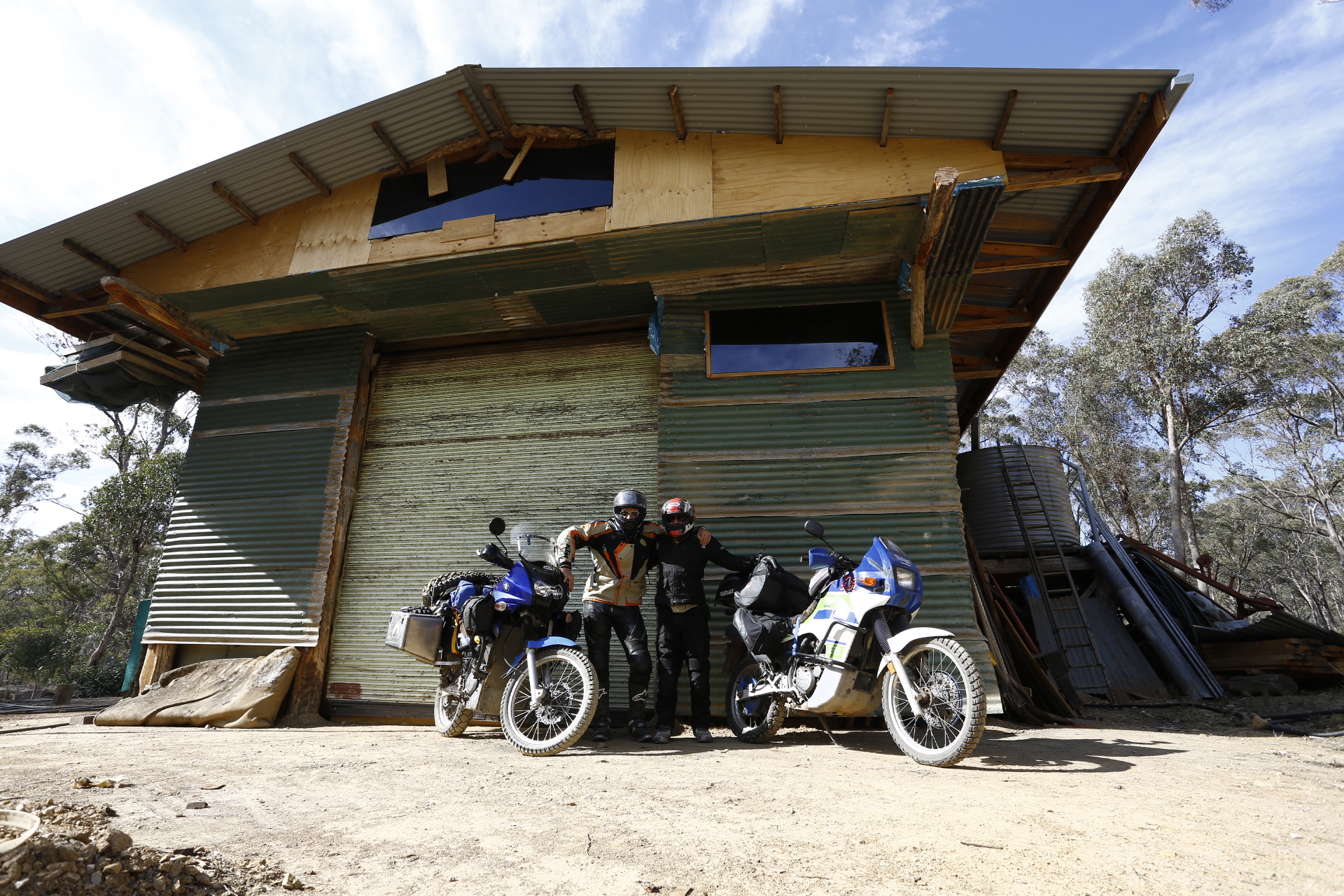
After a day of high mountain roads we found a little side track on a ridge expecting a place to pitch a tend and to our surprise, came across a hunters cabin near Fiddlers Green.
During the day we had come across an ill fated animal that had been hit by a vehicle (road kill). We had assessed its condition, and upon finding it fresh, gathered several cuts. Fresh mountain meet stewed up well and dinner hit the spot.
The stars were crystal clear and the night crisp.

Under The Way
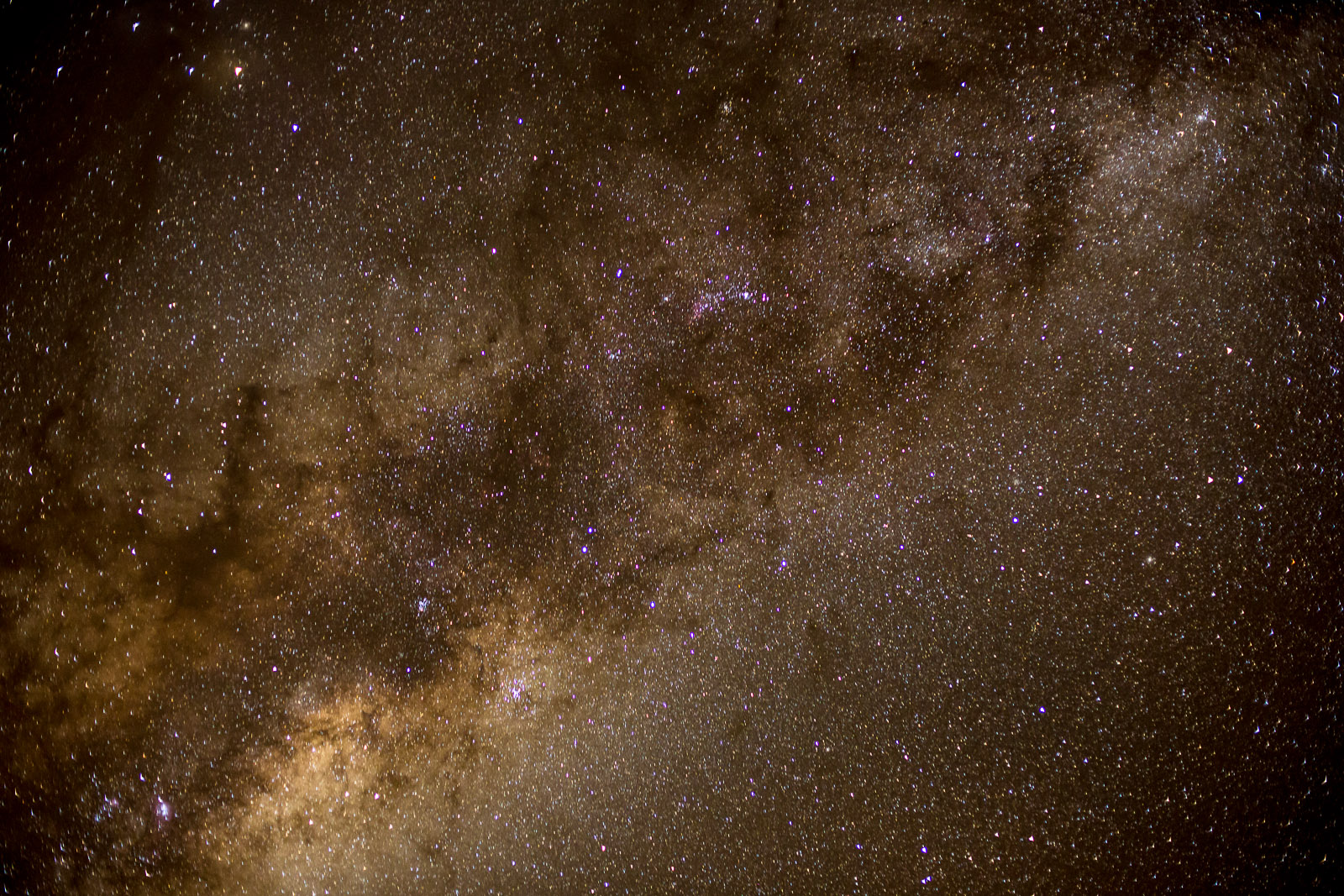
Under the heavens
Day 4: Fiddlers Green to Red Box Camp

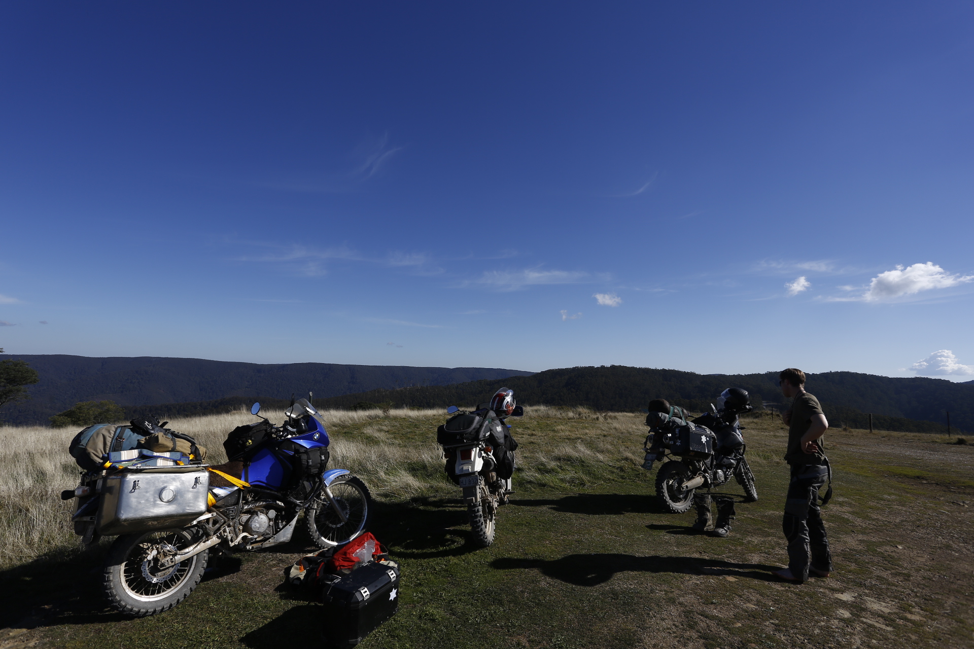
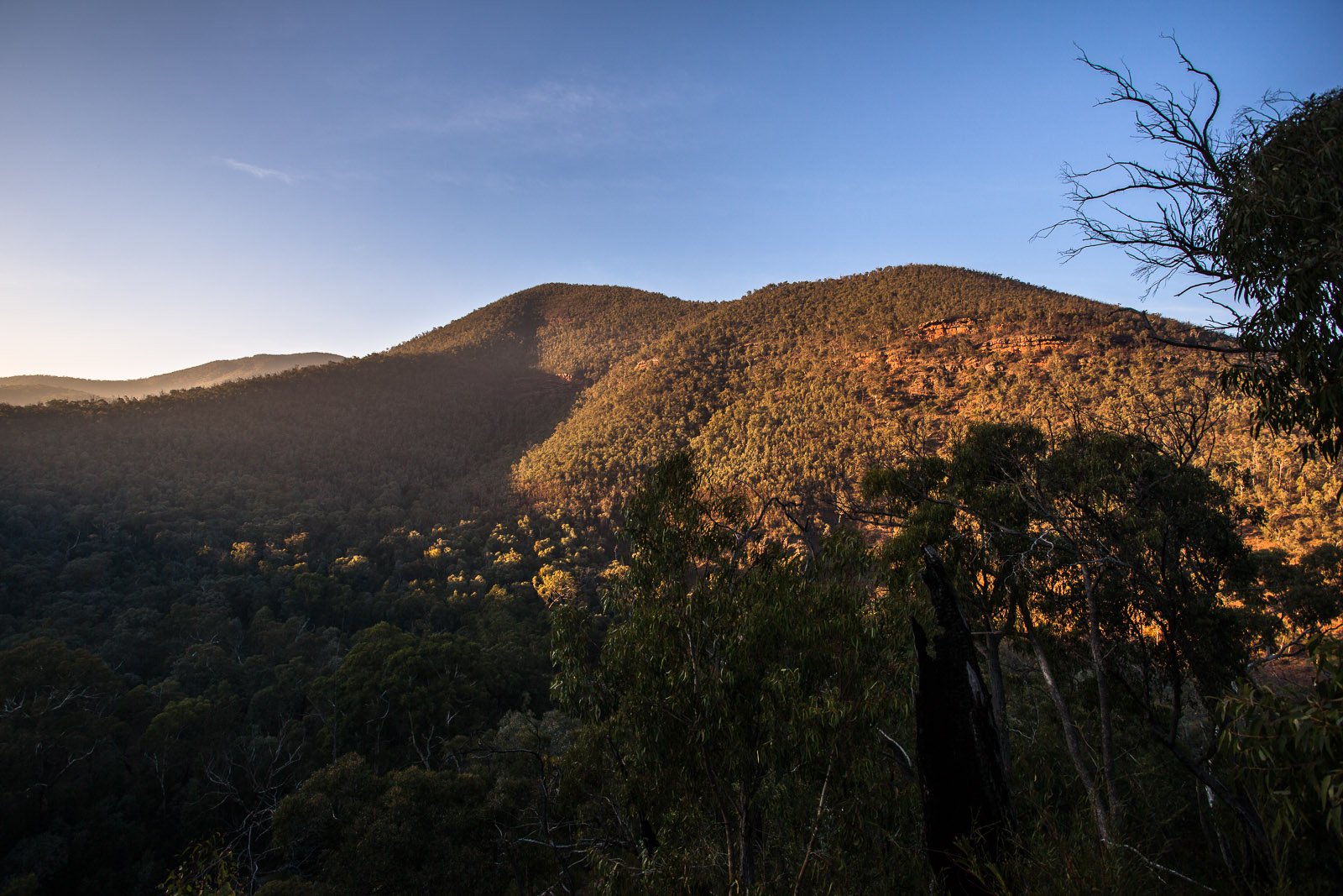
Mt Selma
- Mountains as far as the eye can see
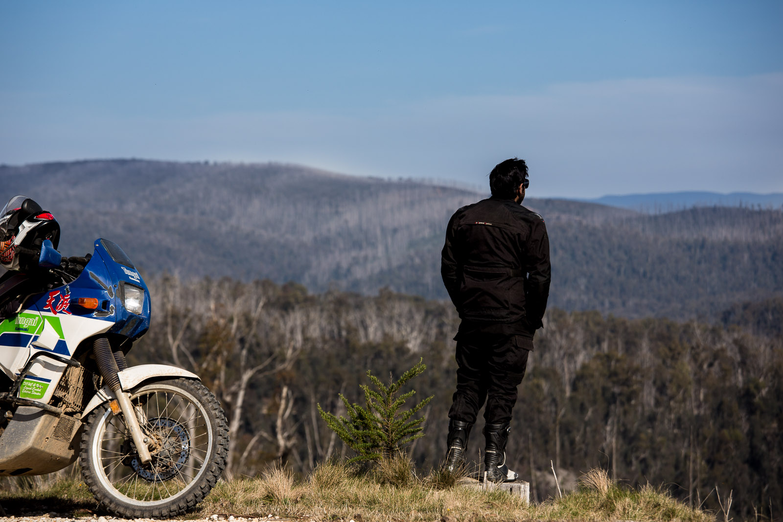
Mountains as far as the eye can see Approx 1200m ASL
Shortly after calmly contemplating the vast expanse of uninhabited wilderness before us, we plunged into a valley. Dercending the “N21” track to the Glencairn-Licala road was the steepest track I had ever taken my bike on, loaded or unloaded and it fell from 1200m ALS to about 450m ASL. Our radio intercom system was very useful to let each other know of obstacles and generally our status.
After the hair raising decent we were immediately rewarded by a nice grassy flat and a little babbling crystal clear stream. I wasted no time and pealed off all my sweat drenched gear and submerged my self only to jump gasping from the water again. How fantastically cold and refreshing it was. 
Photographs weren’t really at the forefront of my mind during the descent. Stay on the bike and alive was more of a concern. And, as I would later find, photographs struggle to communicate just how steep a hill is.
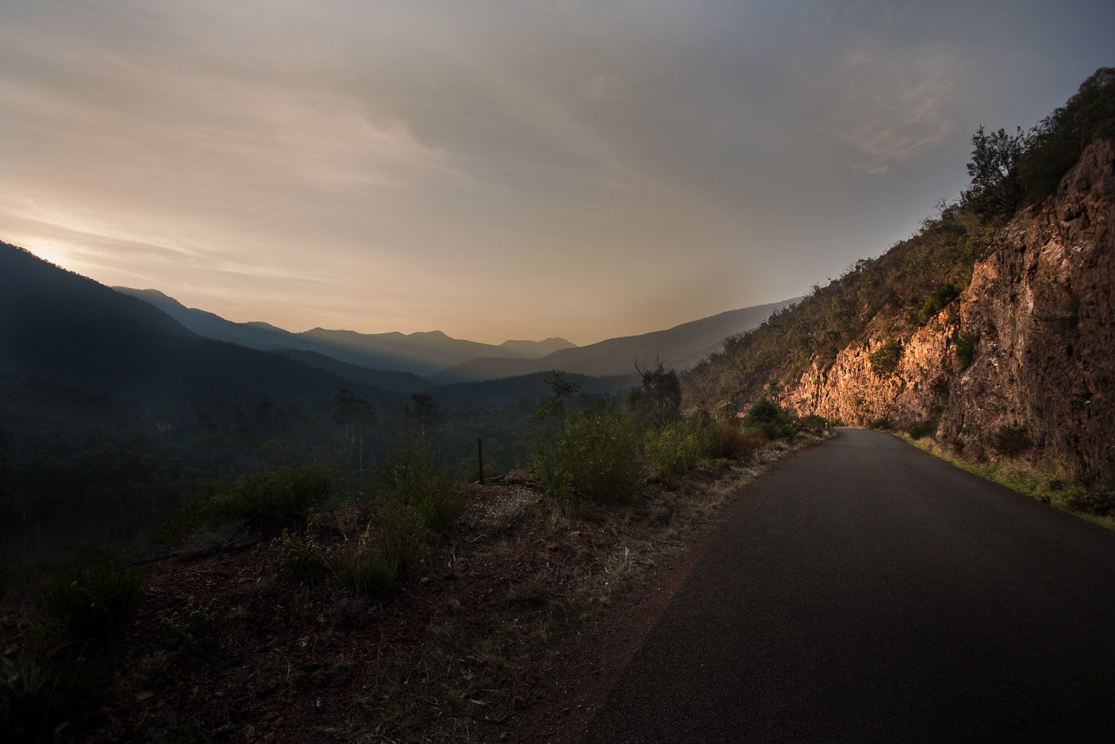
The road to Licola was another treat. How can one be so amazed all the time!? This country is nothing short of spectacular!


Stocking up at the Licola general store
I made a mistake setting off up the valley again without fuelling up thinking Dargo wasn’t all that far. We had done less than 200km since fueling up at Marysville. We get between 4-500km to a tank.
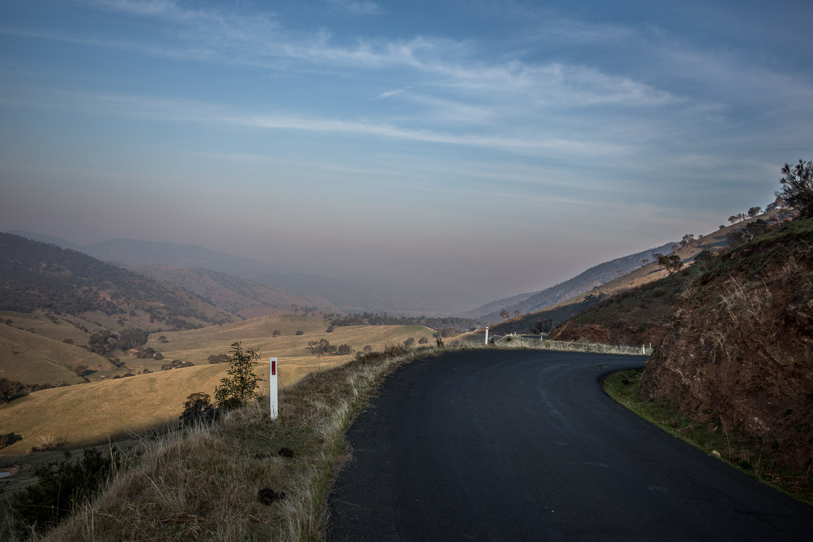
Anyway, back up the valley we headed, this time on the East side of the Macalister River.
Sundown near Red Box camp on the Tamboritha Road
Day 5: Red Box Camp to Castle Hill
Dawn at Red Box Camp
“We’ll be in Dargo for lunch”.
And we did get close to Dargo for lunch.
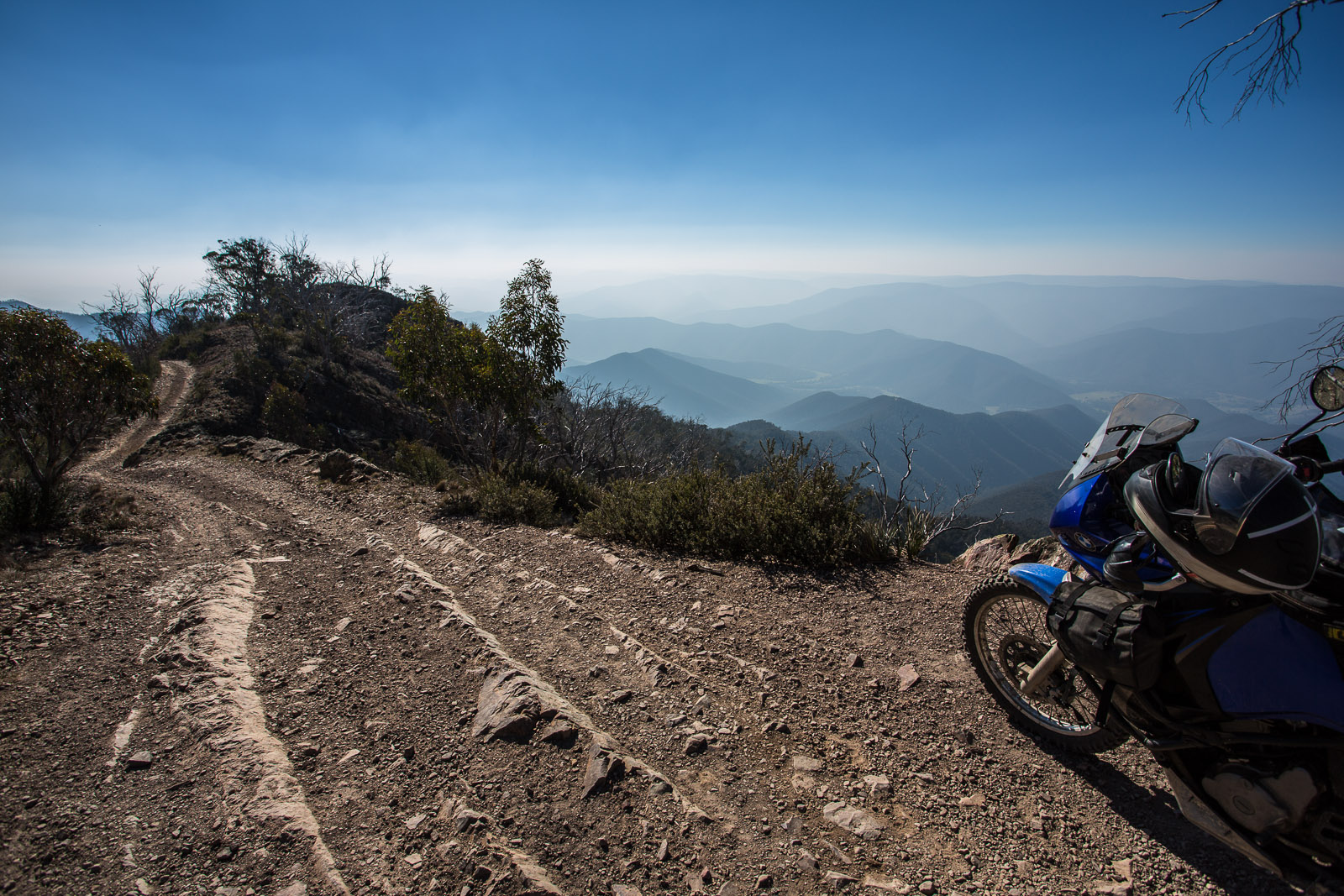
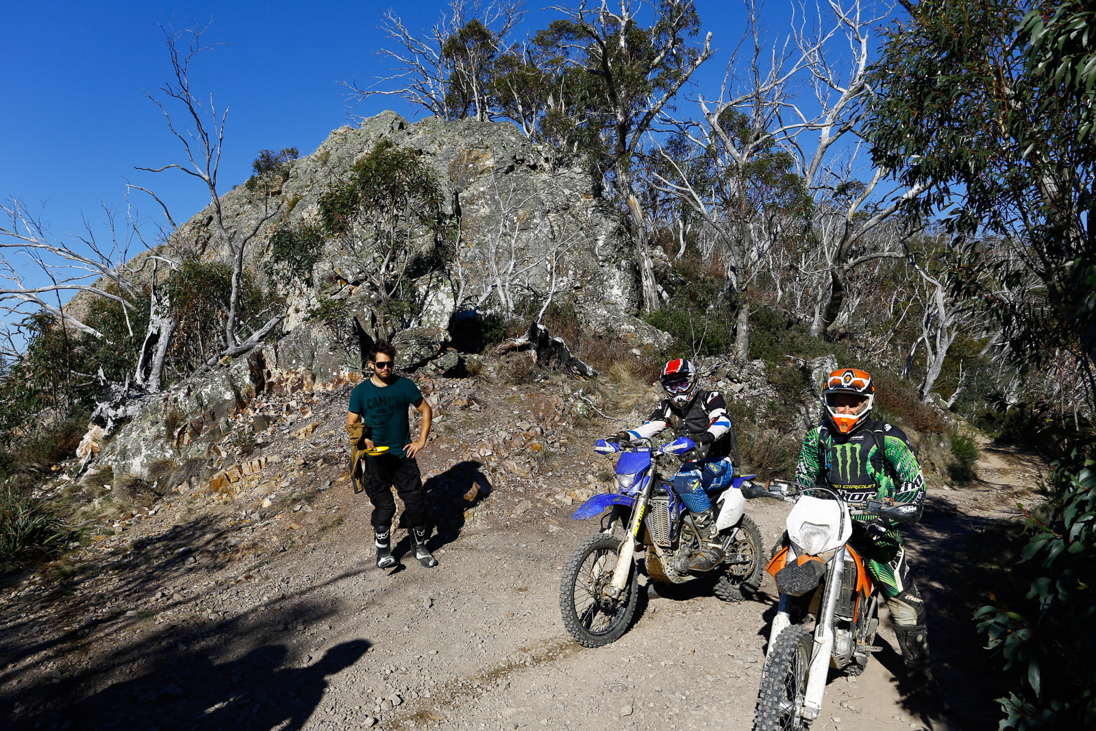
Billy Goat Bluff, 1450m asl looking down on Dargo
The only catch being the infamous Billy Goat Bluff track. A couple of sources suggested it was Australia’s steepest continuous descent of about 5km dropping from 1450m asl to the valley floor near Dargo at about 400m asl. The steepness was actually no worse than the N21 track but the abundance of large loose rocks and rock steps helped us decide to find another way off the mountain.
We spent a few hours soaking up the vast expanse below us over lunch.
We met two guys on trail bikes that had just come up Billy Goat Bluff track on small lightweight bikes much more suited to the terrain. These guys were seriously armoured and skilled trail riders. On the climb the guy on the orange KTM (right) had come off. Both he and the bike fell off the edge of the track. One of this boots (Apline Stars Tech 8 like mine) had caught on a tree arresting his fall). It took them half an hour to get the bike back onto the track.
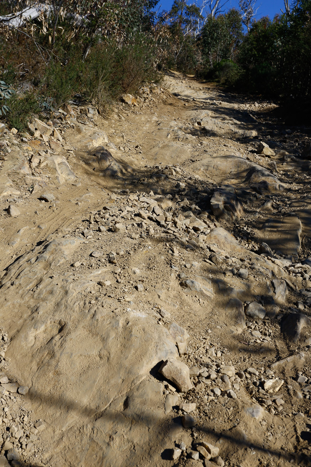
The alternate routes off the mountain were significantly longer which made us realise we should have filled up fuel at Licola. The tracks to Briagolong were closed for maintenance so I thought we would try this little track under Castle hill. Junction Spur. In places the track was fun.
And in other places it was worse than the N21 track!
We decided to camp half way down, aware that we were exhausted from the many hair raising parts of the descent.
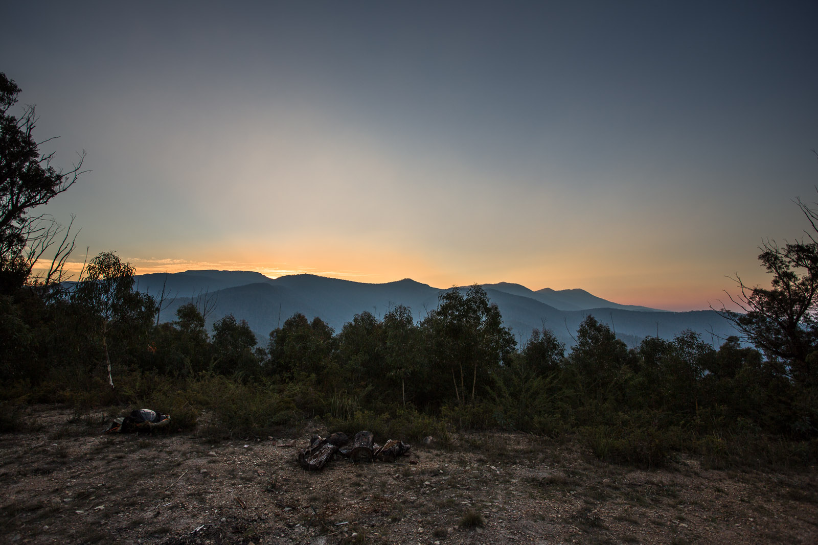
Day 5: Sundown
Junction Spur track under Castle Hill
4 Responses to Hitting The Road