Day 6: May 12th
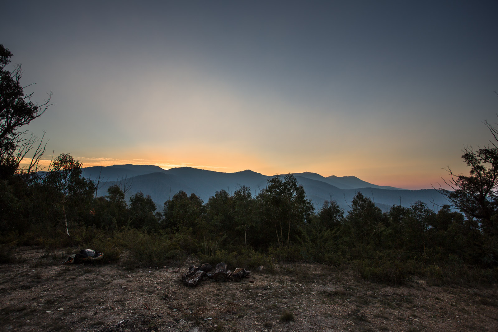
This morning I turned 27. Camped under Castle Hill (at 897m on the “heli pad”) overlooking Dargo I was high on a mountain as I had hoped for. The challenges to come were perhaps a little…more than desirable or sensible. This post carries a verbosity warning and has only a few images.
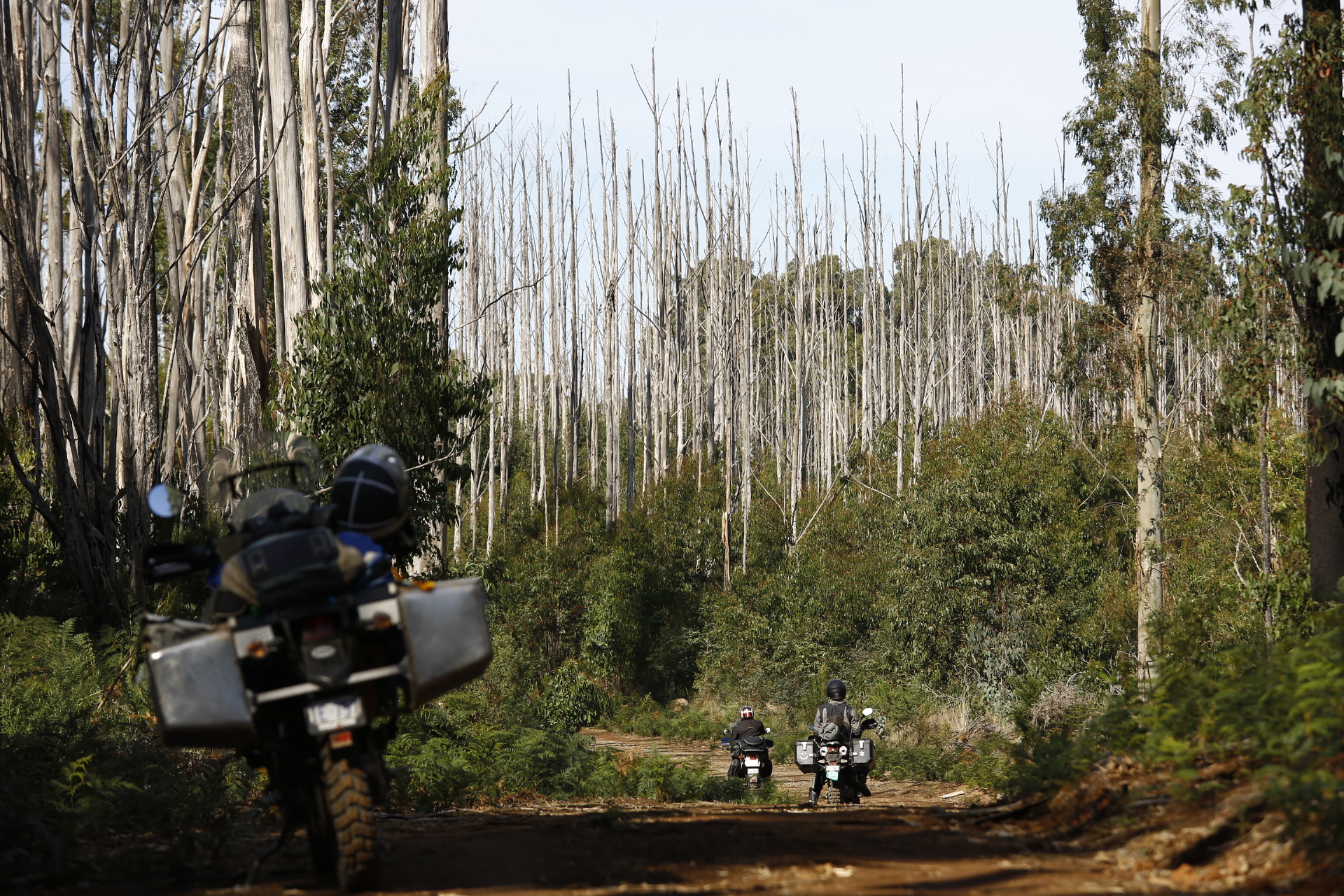
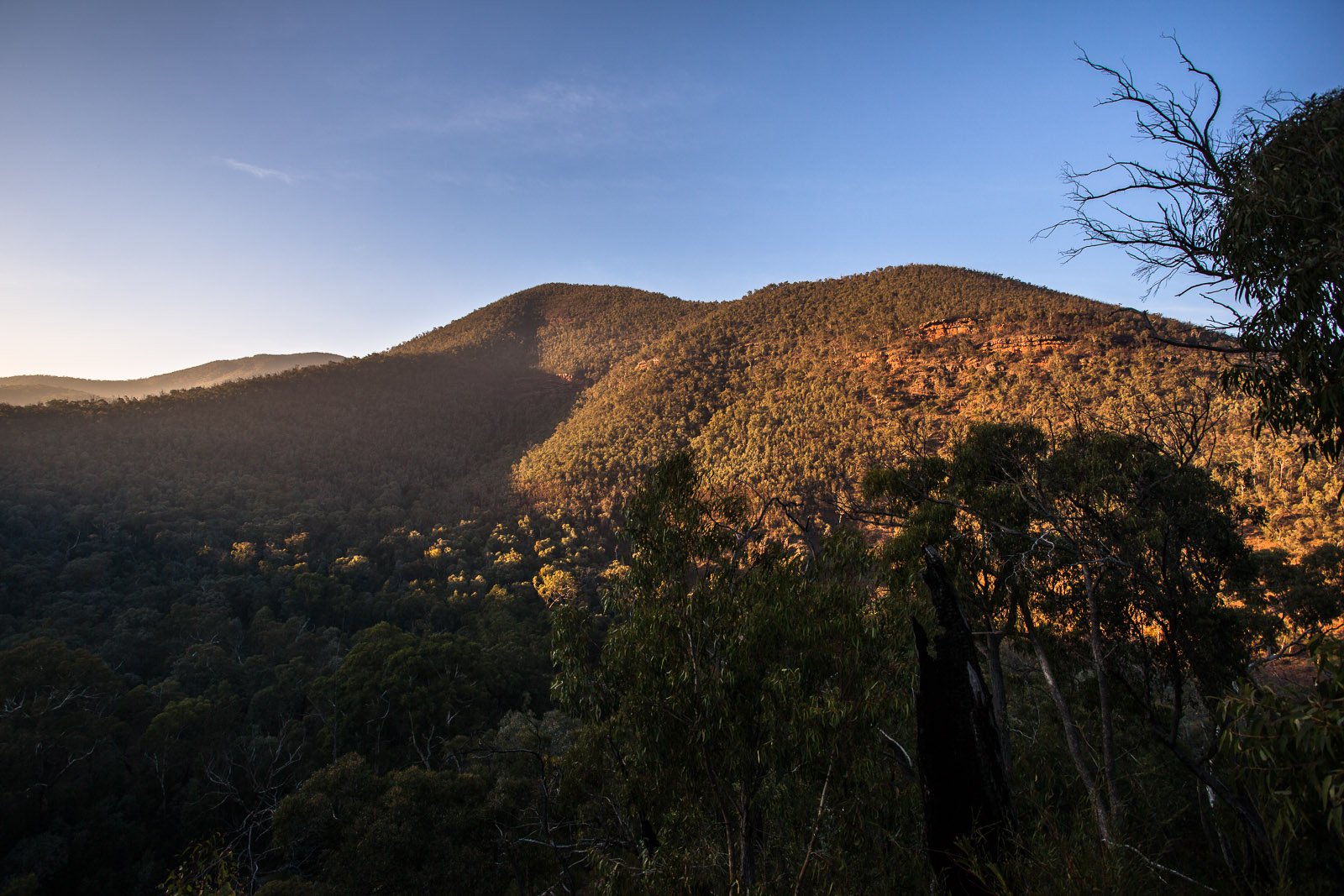
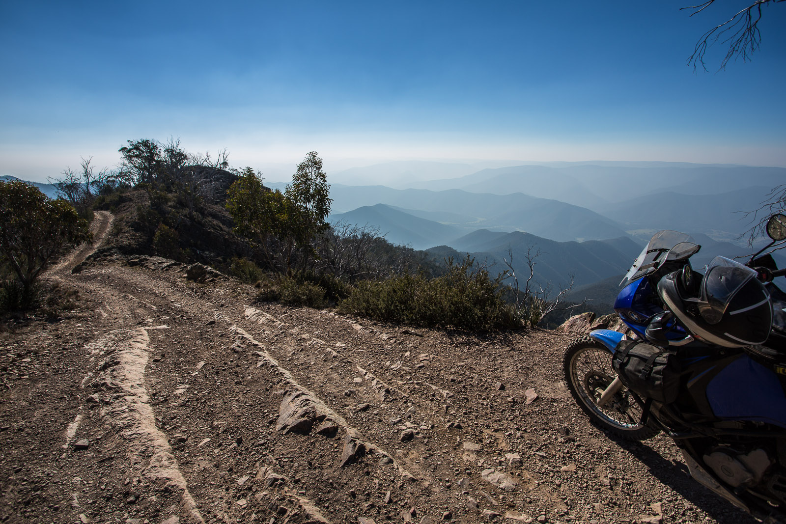
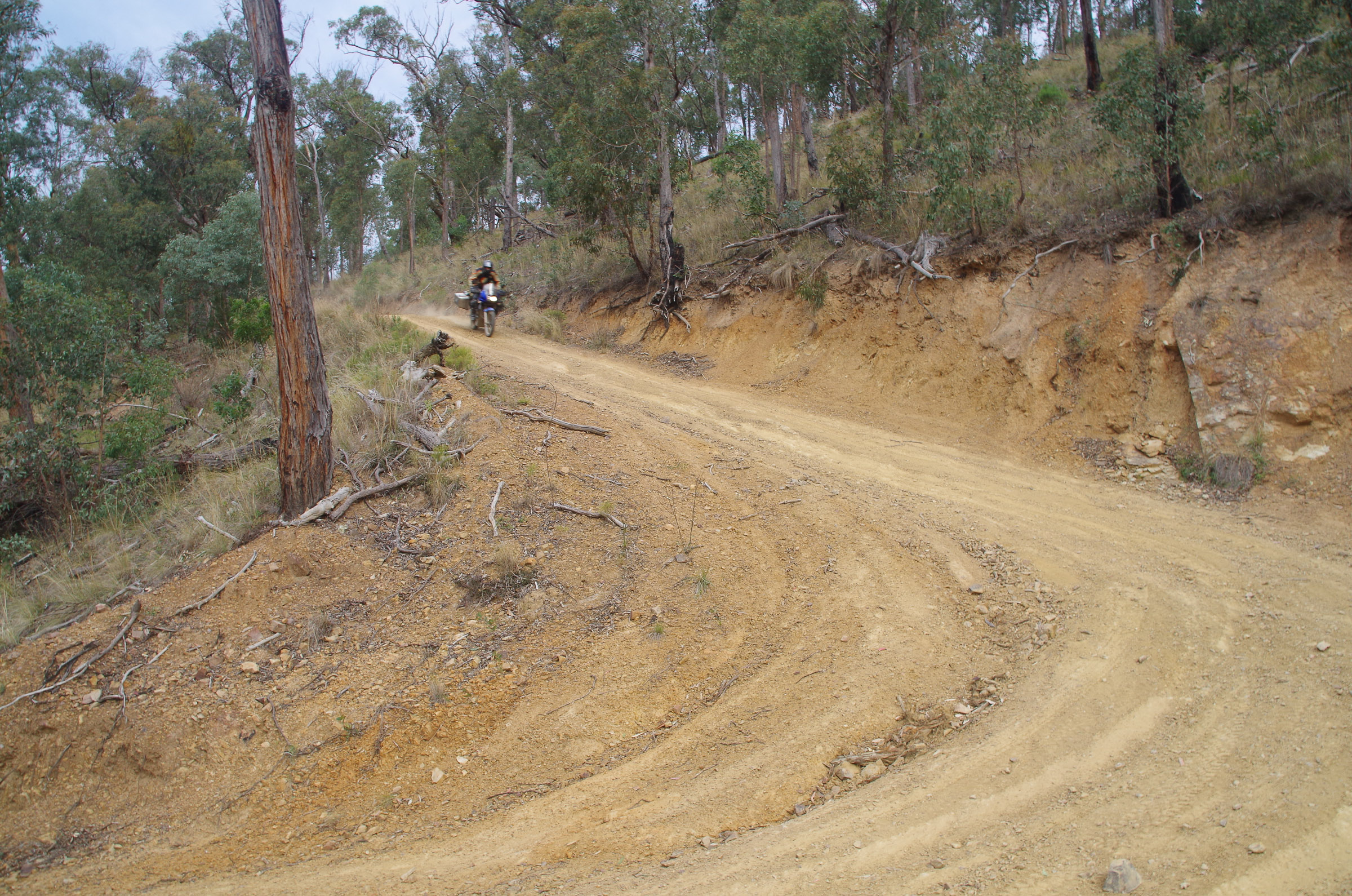
Over the past few days Dargo had become something of an elusive goal. “Fuckin Dargo mate” was uttered more than once in anticipation of this little town that was, in theory, quite close. Getting to Castle Hill had taken much longer than we anticipated and descending to our camp site on the “heli pad” (a clearing in the trees a third of the way down Junction Spur track) was…very steep. So steep and rough that it was a one way trip! There was no going back. I would say that I will try to stop and take some pictures when it next happens however I neither desire to find tracks that ridiculously challenging again nor stop while so challenged to take photos that struggle to portray just how bloody steep they are. Yesterday’s image of a steep section of Billy Goat’s Bluff gives an idea, as much as a photograph seems to.
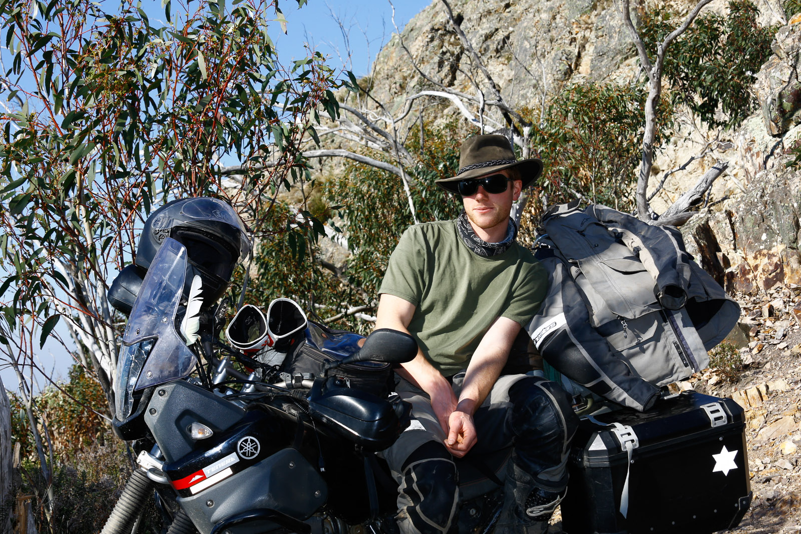
I like to challenge my self physically and mentally, often on high mountains, for my birthday. And today did just that although in entirely different ways to previous birthdays.
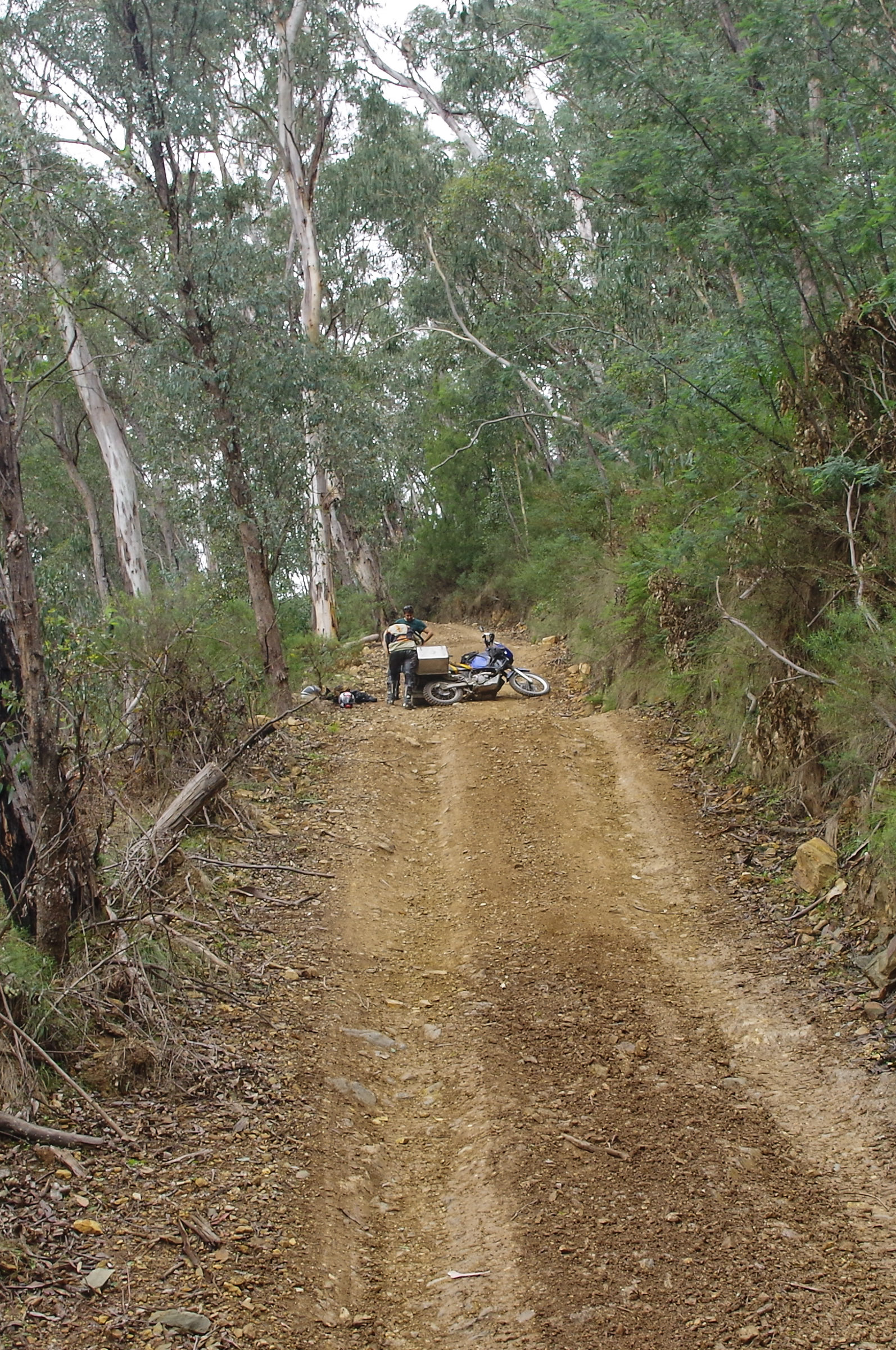
The nights howling winds left me poorly rested but I sprang to enthusiastically at about 7. The descent from the heli pad to the valley bottom was challenging but not as bad as yesterdays descent from Castle Hill. We had little water yesterday and almost none left by this morning. Reaching the valley bottom we were greatly relieved to have completed the hard descent and now only had a short ride into Dargo, or at least that was what we thought. I had looked over the maps last night and we had a choice of ways from the valley floor out to Dargo. One was down the valley flood which seemed the most appealing but the map indicated a “very steep” section at the end (it hadn’t done so for what we had just descended) and we had been told by two deer hunters that is would be easier to take “trails track”. The only catch was trails track was on top on another ridge which meant a climb. A good 4WD is more at home climbing these very steep tracks than our heavily loaded bikes. A skilful rider helps but there are limits to everything. Keeping the front wheel on the ground with all the back weight becomes a real problem in steep climbing. Adding in rock ledges and rocks from fist to head size in place to avoid makes for a real challenge.
So where were we. Ok, we had reached the valley bottom. I felt greatly relieved. So much so that I rode right on through the first stream we came to without stopping to drink and fill up water (foolish move, lesson learnt). So did the others.
After a few minutes in the valley floor moving along quickly we came to it, the climb.
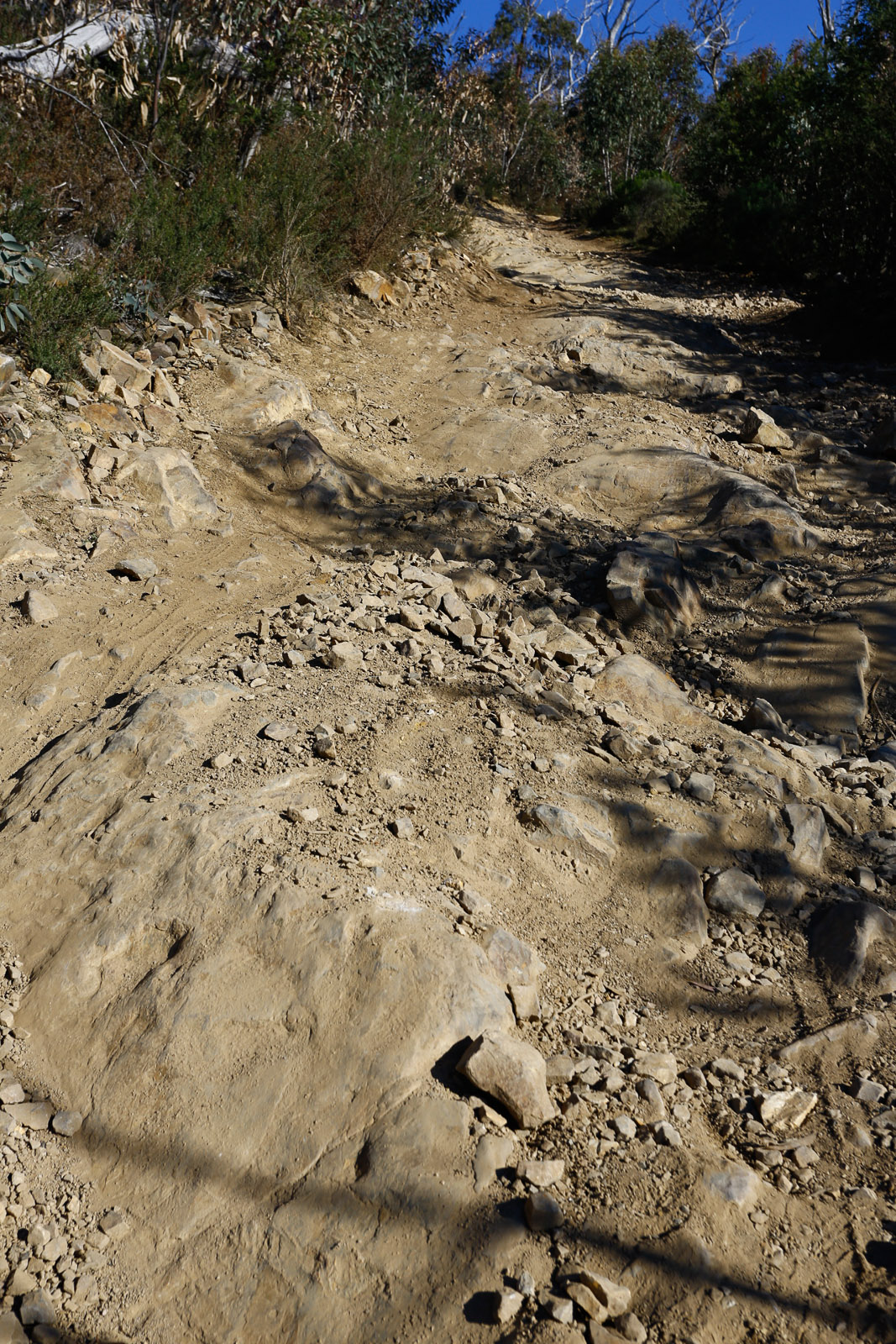
These tracks are so steep that they erode very easily so the bulldozer makes drains to turn the water off the track quite frequently (ever 20m or so). Because the tracks are so steep the drains have to be huge. If you hit them fast enough they are great jumps although doing jumps on heavily loaded adventure touring bikes isn’t really the best idea but they do provide a great place to stop if you have to.
So I started climbing out of the valley floor and quickly realised I was close to limit of my ability to keep the bike upright. I stopped to asses the situation, heart racing. I took a short breather. Raman and Vince arrived, also stopping on the huge cut off drain. The track was steep and muddy but the mud petered out before the next cut off drain. I decided I just needed to get past the mud and then the climbing would become workable again. I took off and headed up the hill, struggling but keeping it going and on the track. Vince says I was looking shaky, and uncertain of my line. I did make it to the next cut off drain and so escaped the mud. I did not stop though, I kept moving up the next section. Struggling to keep the front from lifting off the ground and struggling to keep the engine from stalling with the high first gear, exacerbated by a 16 tooth counter sprocket (15 tooth is stock, geared up slightly).
The high gearing and all the weight got the better of me and I had to stop, unfortunately but nor surprisingly, on the steepest part of the climb, the last bit as you climb onto the cut off drain. I think I had hit a little rock and the wheel popped up and I had to cross the track to stay upright and then I had to back off too much. As soon as I realised I was going to stall and couldn’t go on I flicked the kill switch to stop the engine to allow me to have both feet on the ground and not slide backwards. The front brake will not stop one from sliding backwards on very steep hills but the right foot that operates the back brake is an important part of avoiding falling over. If the engine is off the gears can be used in stead of the back brake. Allowing the bike to stall has its problems, hence clutch in then kill switch then clutch out again. The engine stopped on command, I let the clutch out just as the bike started moving backwards, put both feet on the ground and tried to keep the bike from falling over…
Mawson didn’t stop immediately though and before I knew it I was jumping off backwards to get as far away from Mawson as possible. I don’t exactly know how one jumps from a sitting position really. Mawson was already throwing me out of the saddle down the hill anyway so I guess I was just assisting. Being a steep hill, the ground was quite a way below and I am very grateful for the full back armour in the Alpine Stars armoured suite and Coccyx protection in my Forcefield armoured shorts all of which is under the leathers and jacket. I remember seeing Mawson slide out side ways, falling into the hill, and then the tyres digging in and the whole bike rolling side ways. I knew I wasn’t going to have 260kg of bike land on me and my limbs acted fast. Apparently I did a back flip (again assisted by the very steep hill I had just landed on). So, after each rolling once fully over, Mawson and I came to rest separately.
Mawson on his side
Mawson wasn’t leaking fuel or anything else urgent so we all had a rest and began to work out what we were going to do to get up this hill.
The first step was clear, take all the luggage off. Over the next half hour we ferried the luggage up the hill about 80m, got Mawson upright and back down to the previous cut off drain.
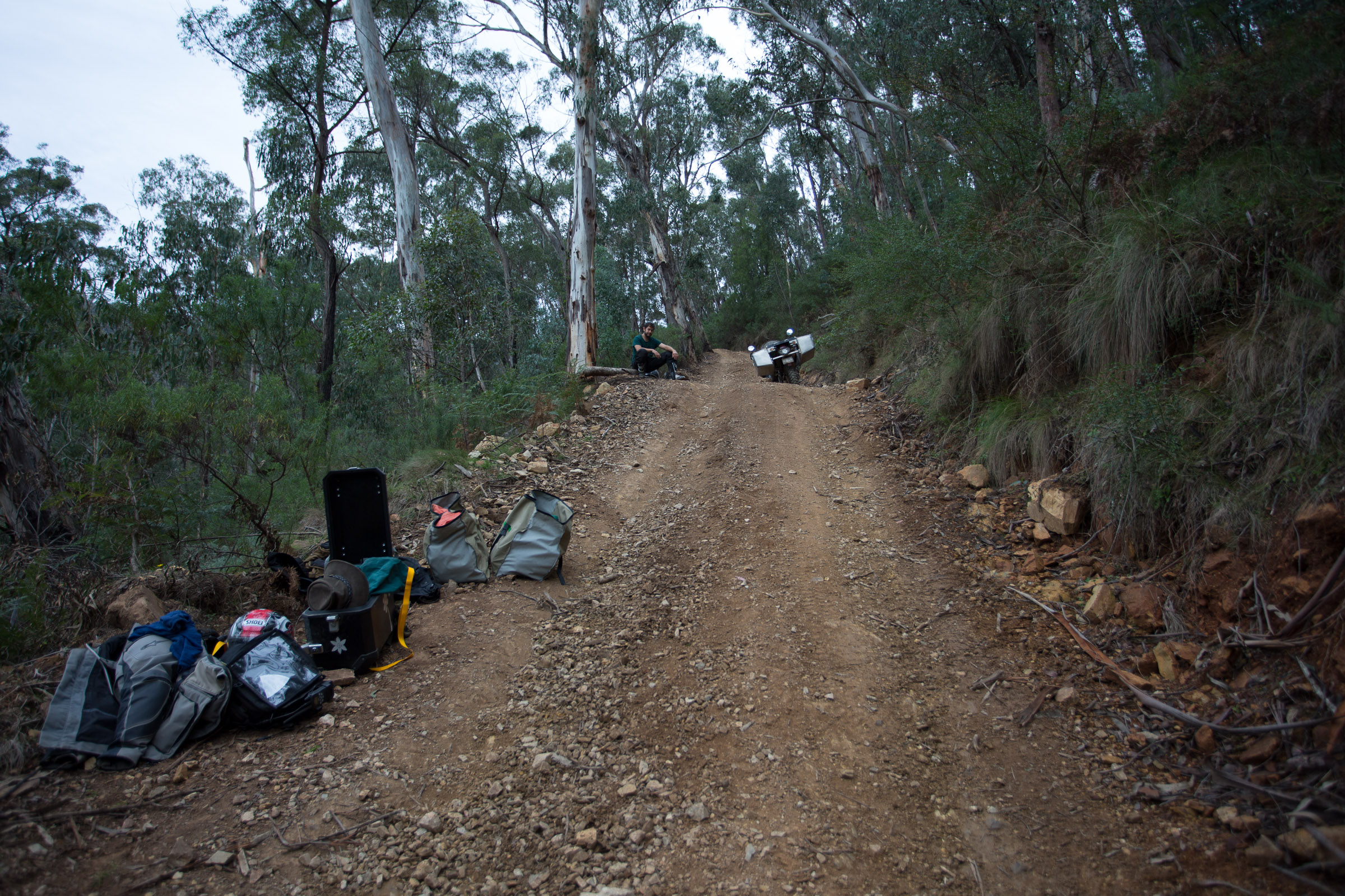
I also decided I should change the counter sprocket to a 14t tooth that I was carrying for situations such as this where the lower gearing was needed. The entrenchment tool that I made turned out to be the vital bit of extra leverage on the 27mm (half in drive) socket and even then I failed a few times to crack the nut loose. After getting everything ready I had another breather.

Ready to roll…after being rolled
With all the weight off, the tank bag out of the way and the significantly lower gearing, I found the climb up to where we had put the gear much more achievable. While I was moving I decided to keep going and finish that climb. I round a bend in the track on the outside edge (less steep) and continued another 80-100m before I stopped, faced with an even steeper section of track with rock outcrops and small drifts of loose rock. I had managed to get up the lesser of the two rock outcrops but again I had trouble keeping the front wheel down ever with all the back weight removed and the tank bag off so I could get all the way forward. I called the others on the helmet intercom to let them know. Raman had taken off his side boxes too so he rode his bike up and stopped behind me. Vince’s bike was much less heavily packed to begin with. I think Vince opted to ride it up. The three of us assessed the situation after brining the bags up .
After the first climb and before the second.
There were a few different thoughts. I opted to get my rope out and try to haul Mawson up. Once the rope was out and we began to actually work out how to do so, it became obvious that it was going to be ridiculously slow at best. I wasn’t sure we could get the three bikes up this 30m section of hill, even if we took the rest of the day. While on the first section, after I rolled Mawson, Raman had walked back to get some water but the stream was a quite a way back and he bailed on the idea. We had a tiny bit left and drank it. By the time this second section was giving us hell we were getting very thirsty. The hill was so steep that walking the gear up it was very tiring! It felt like climbing “The Staircase” route up Mt Bogong. Eventually I decided the rope idea was too hard. It just wasn’t going to work. I got back on the bike, after taking all the gear up the 100m or so to the top where it flattened out (end in sight, phew). With some assistance from the boys, I got Mawson going and (using the clutch a lot) got past the big rock ledge and powered up that last section struggling to keep upright and moving.
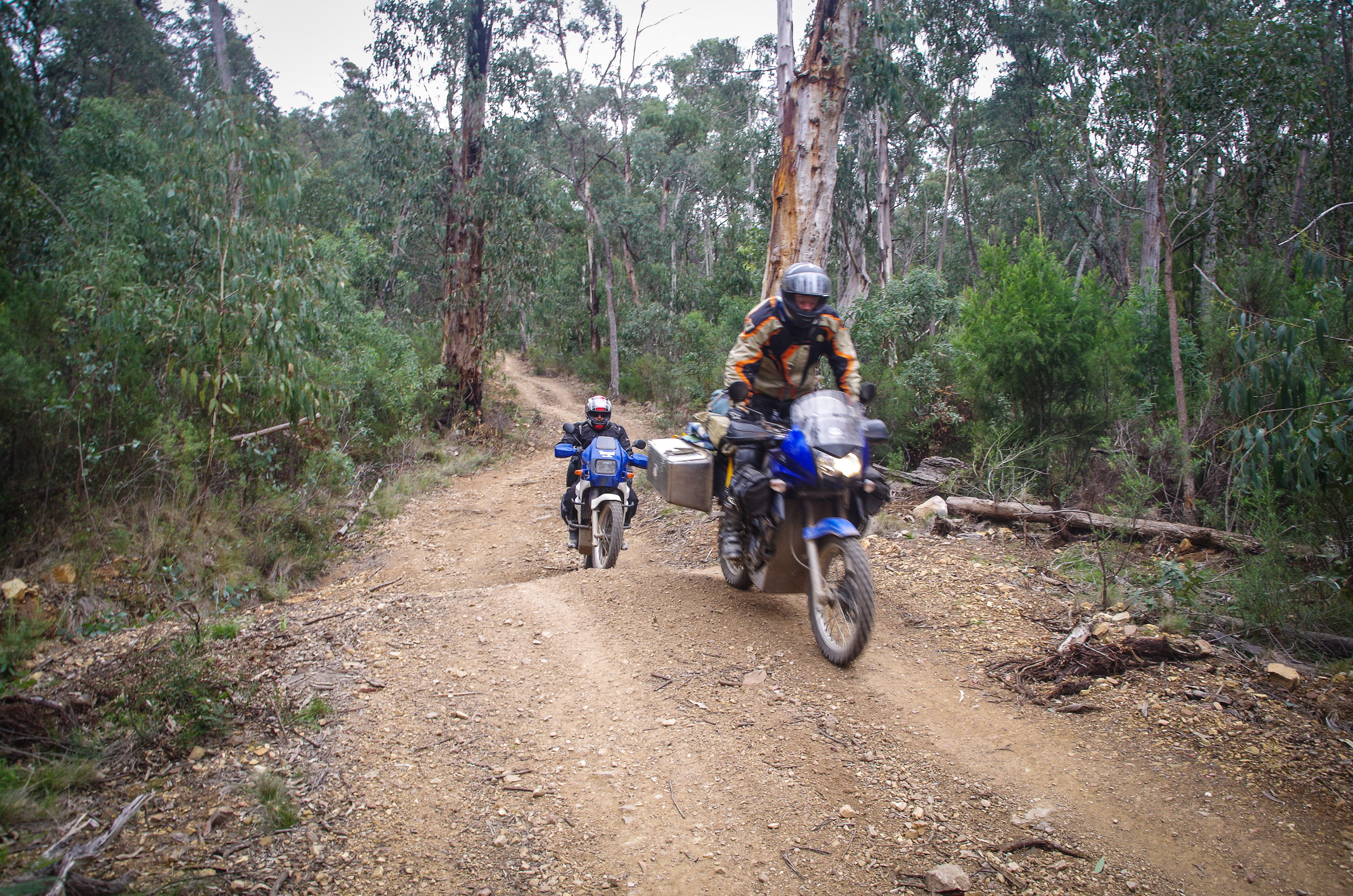
I went back down and took Vince’s bike up for him. Raman managed his way up too, despite the dehydration and significant challenge. We were worked out and so very thirsty. The hauling of the gear had taken it out of us. We were so glad to be at the top and alive. Tuckered our and relieved we got on our bikes and rode along the ridge top for a while. There were a few more climbs but all manageable…and then there was another one! I took one look and decided we had to walk the gear up. It wasn’t nearly as bad as it could have been. The track was in very good shape. No loose rocks or rock ledges but it was steep, very steep. I think the steepest so far.
I rode Vince’s bike up as it was the lightest of the bikes. It was a test to see if I could get up. I managed but again a challenge to keep the front wheel down.
Haul the gear up took nearly an hour I think. My mouth was parched. We were all may beyond sensible riding conditions. Maybe we should have stopped… however we persevered. One of the driving factors was that a really big front was coming and I knew if we didn’t get out before the rain we could be stuck for a very long time in a place that was borderline impossible in the dry conditions. We had to get the bikes out! That was only going to get worse with rain. I took my bike up before doing the last load of gear which saved me from being so stuffed for the hardest part, the riding.
Raman, Barely visible at the base of the last climb. Taken from two thirds of the way up.
Raman took all his gear up first. He had to take several bites at the cherry before getting up but to his credit he kept the bike upright.
I can’t really communicated just how buggered we were.
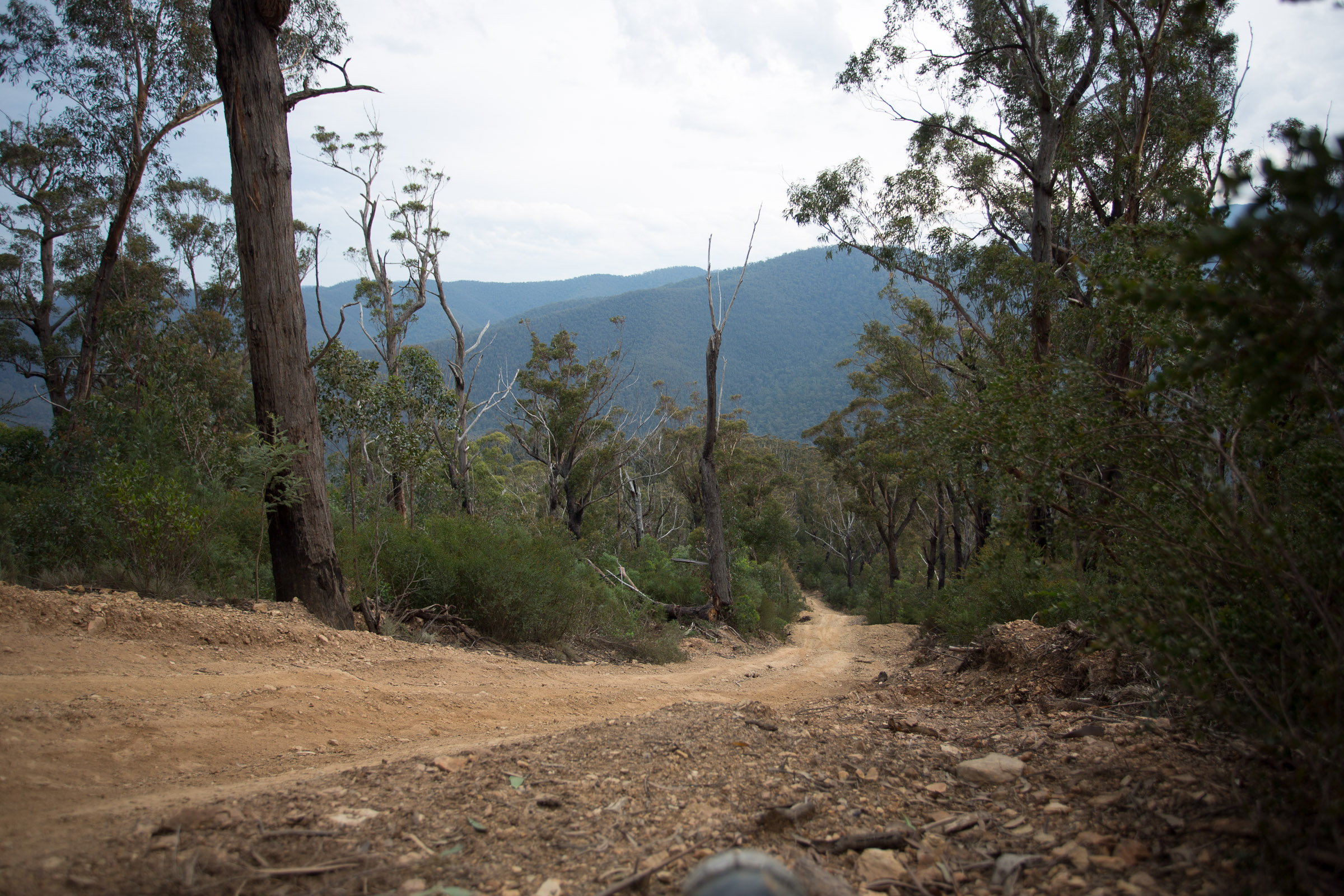
At the top of this hill we finally came to the intersection with Trails track which was much easier. Perhaps it would have been challenging a few days earlier but after the days challenges it seemed a breeze.
The descent down to the Dargo road was steep but again being a bit better than the N21 and Junction Spur we relaxed into it.
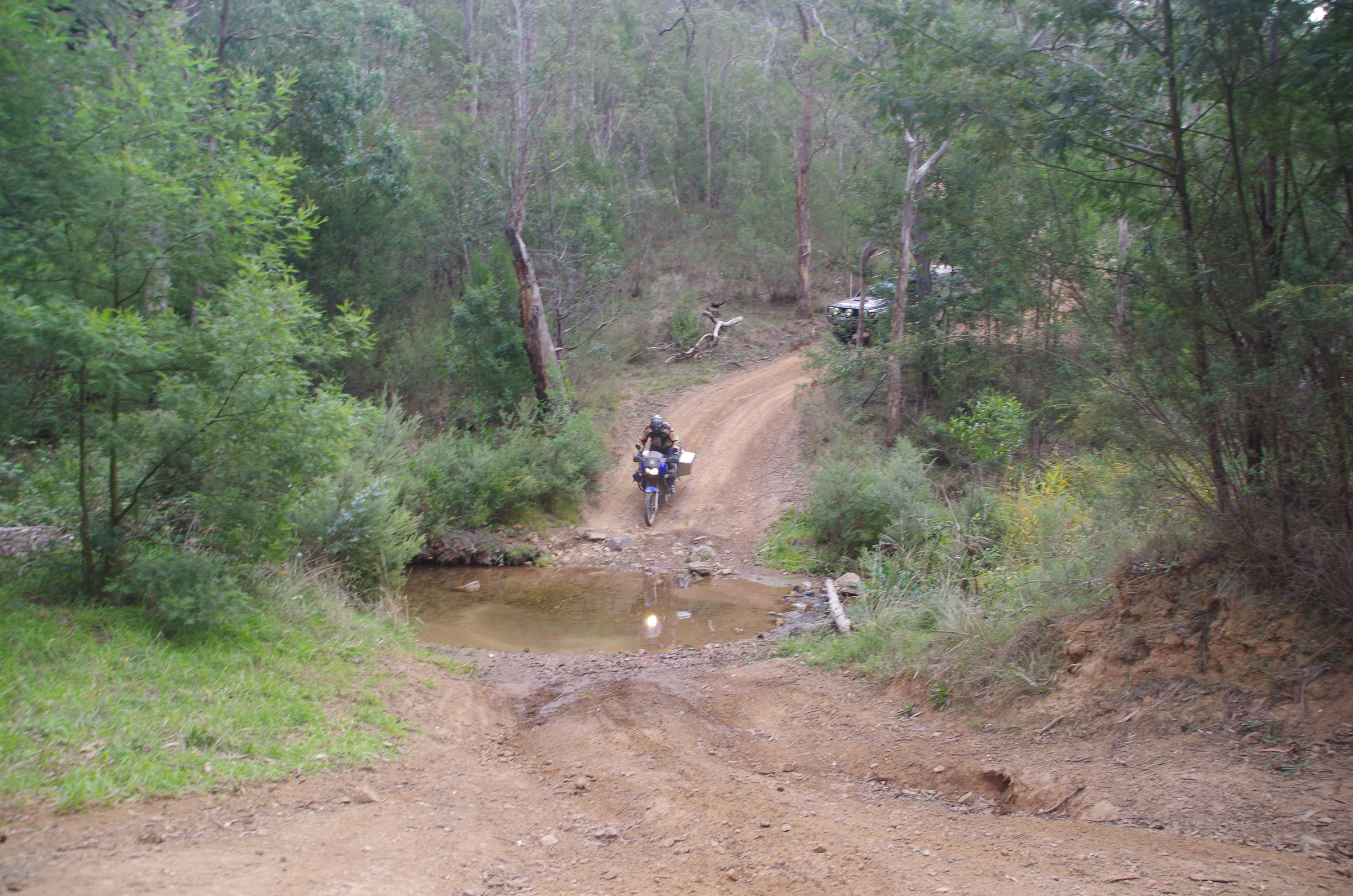
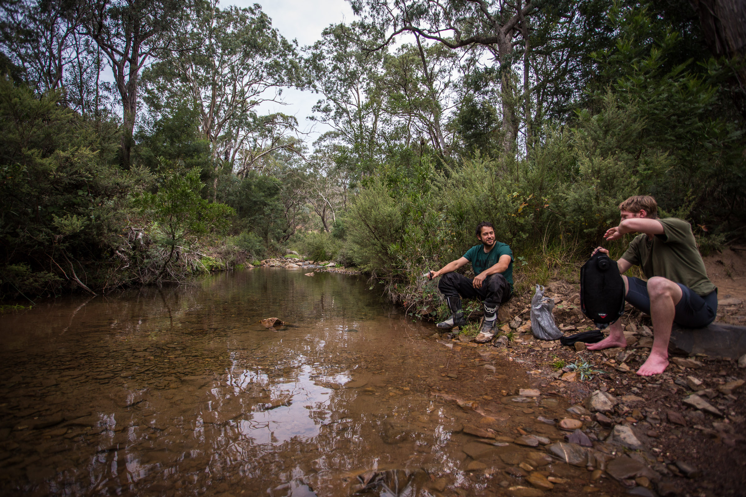
When we finally reached to bottom and the Dargo road we stopped at the creek (not making the same mistake twice) and drank.
Water, at last!
Not wanting to be sick we just had a little at a time. What a huge relief!
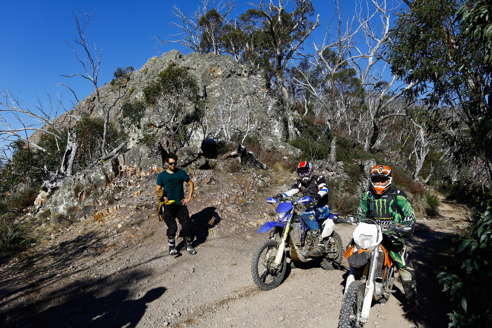
Dargo is a small town with a general store, a pub, some houses and accommodation. The Dargo River Inn suited out needs perfectly. There were a few trail bikes parked out front and in the bar we found the riders.
We inquired about staying and were told it would be 5 bucks each and there were hot showers, a laundry and we could camp anywhere in the big field. We were in! A few drinks later we headed out and set up camp.
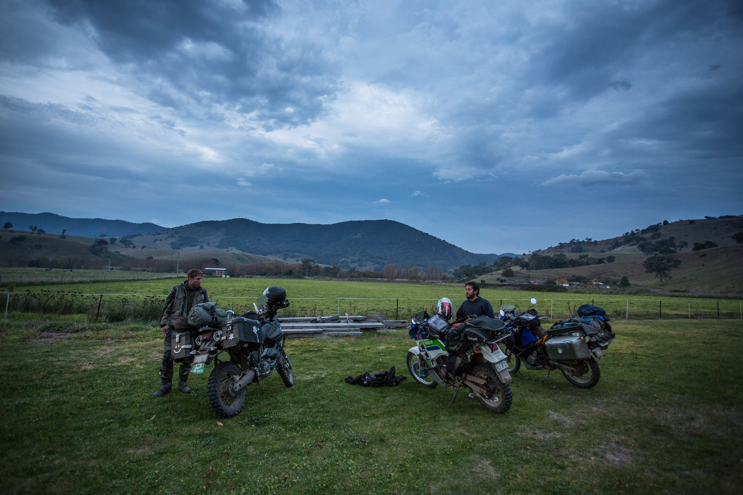
Setting up camp feeling grateful to be out with heavy rain cloudy closing in
There was a roast on and it went down a treat for a birthday dinner. There were about 25 trail bikers there with their support crews. We chatted and drank till the late.
What a day, I am now 27! I think that might just eclipse my 21st for challenging!