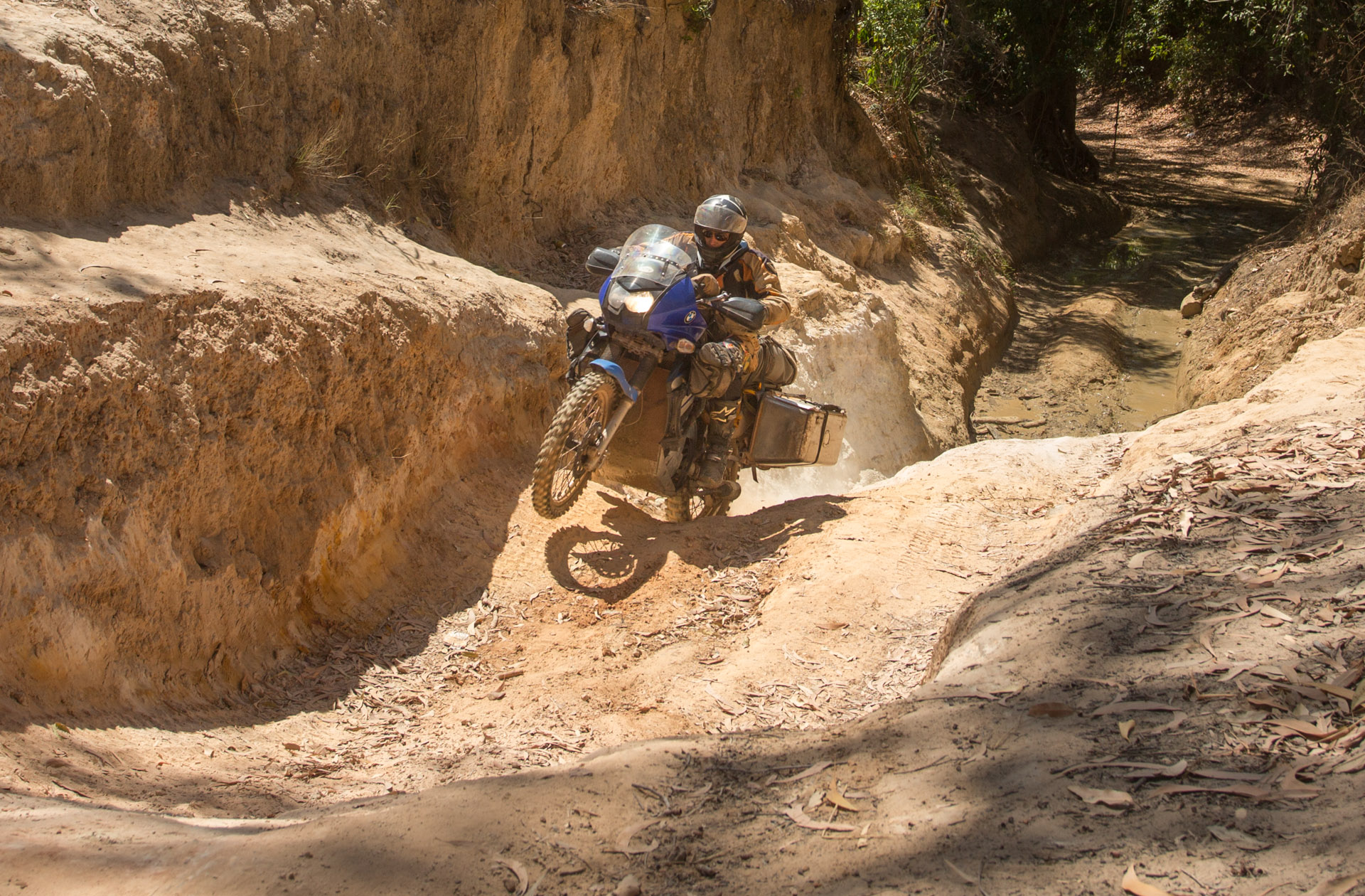
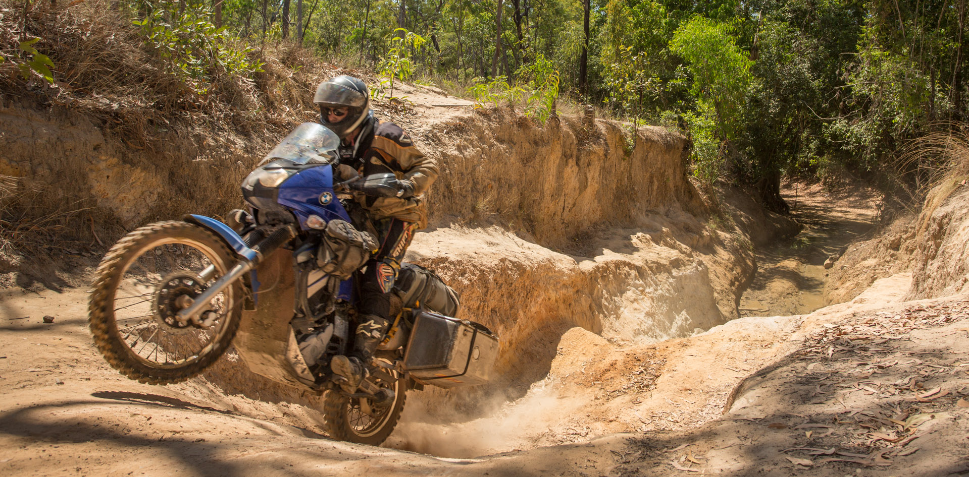
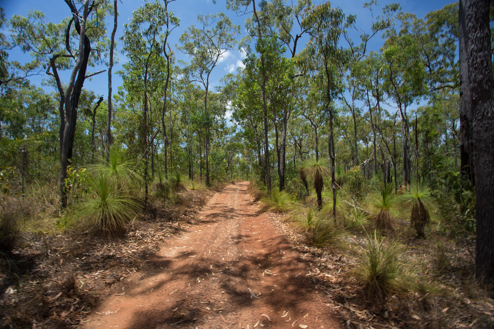
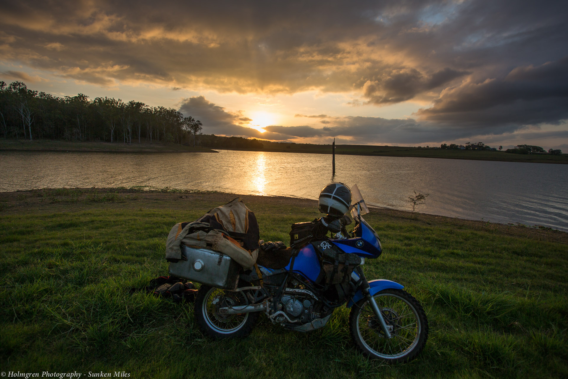
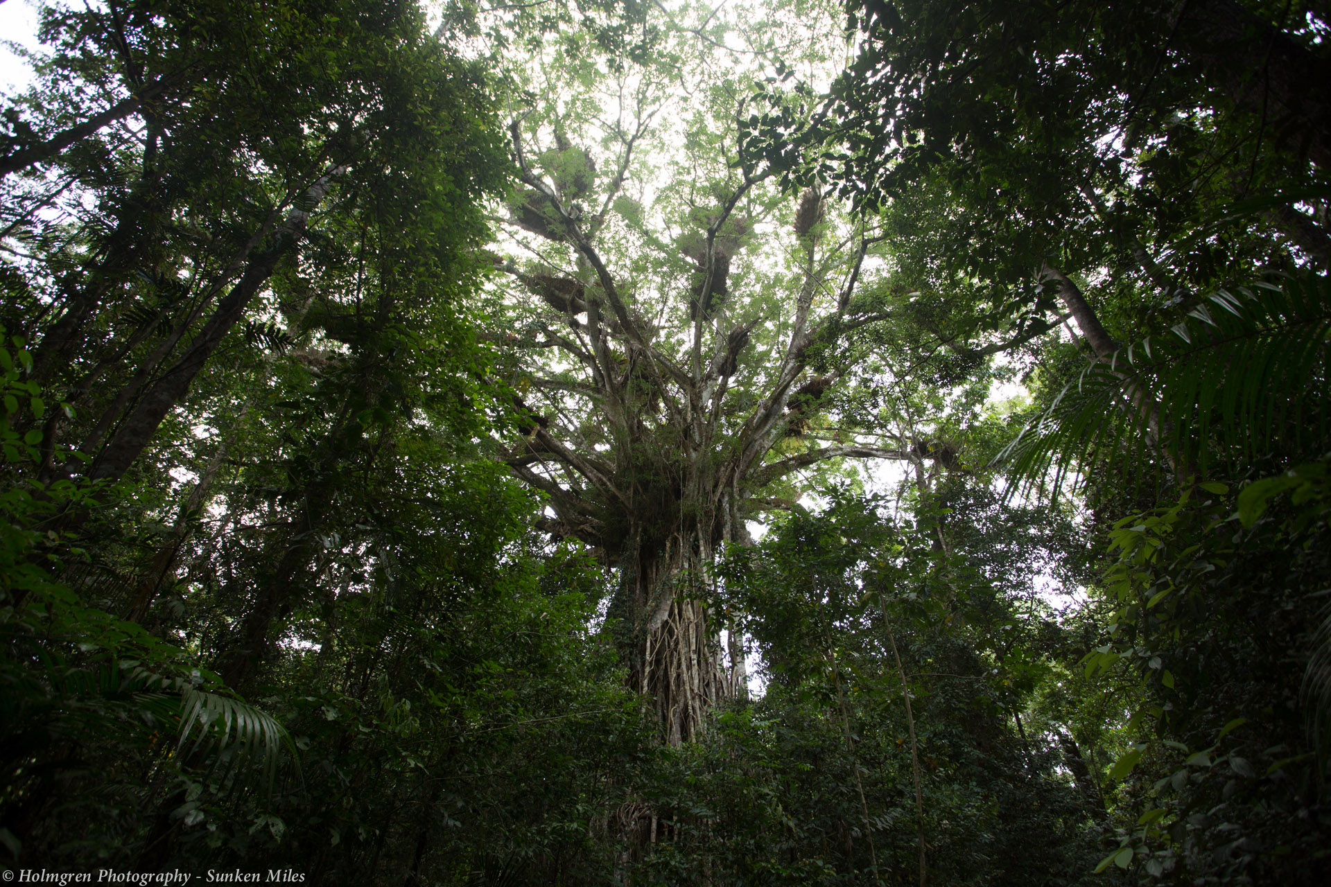
Raman and I returned to Cairns from the Atherton tablelands to pick up the parts for my shock and finally get it fixed. The Lake st household have showed us a great time. Taking us to music gigs, parties and generally including us in their day to day life. What fun, thanks Laura, Jerri, Brendan and Jake.
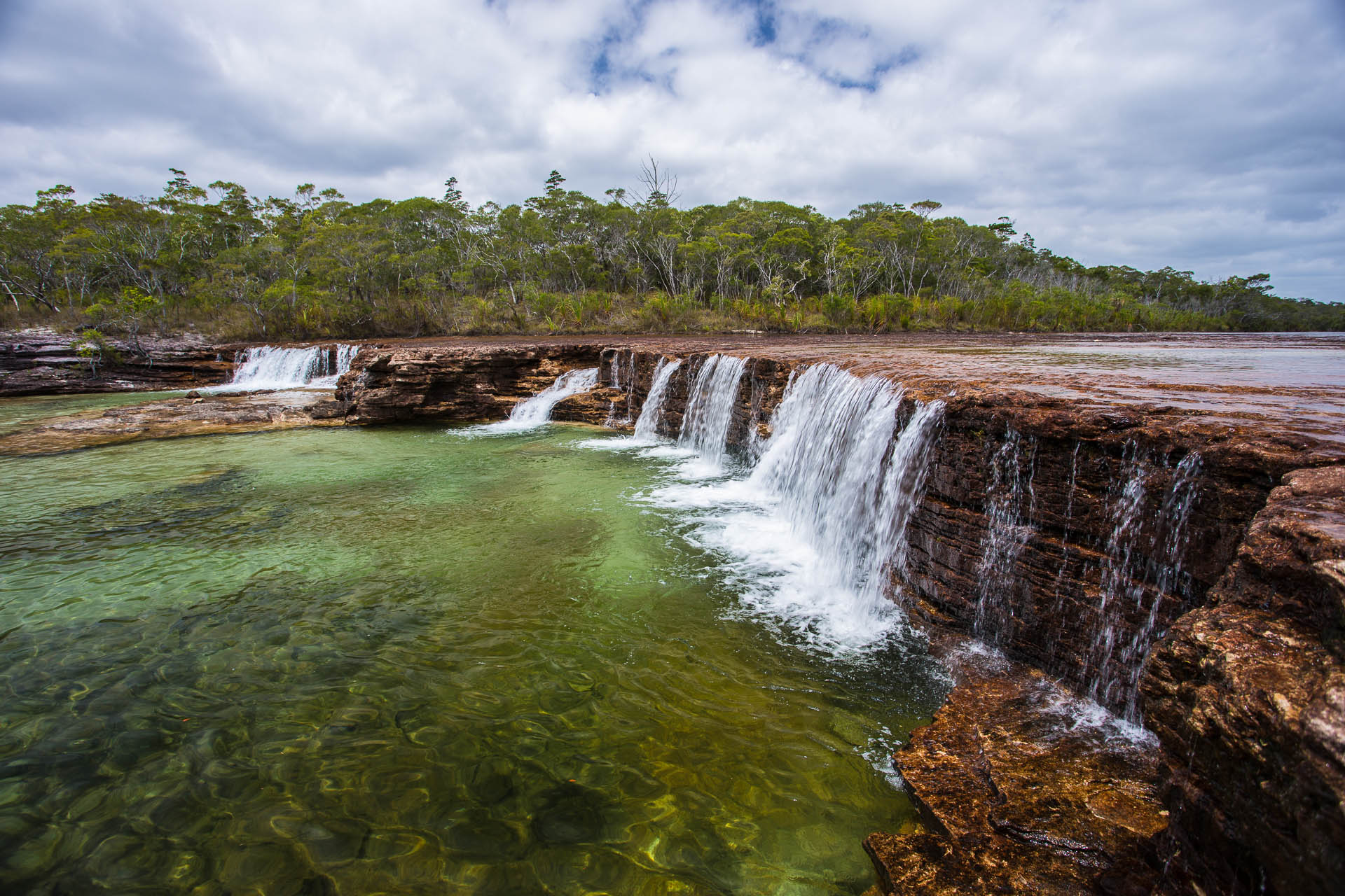
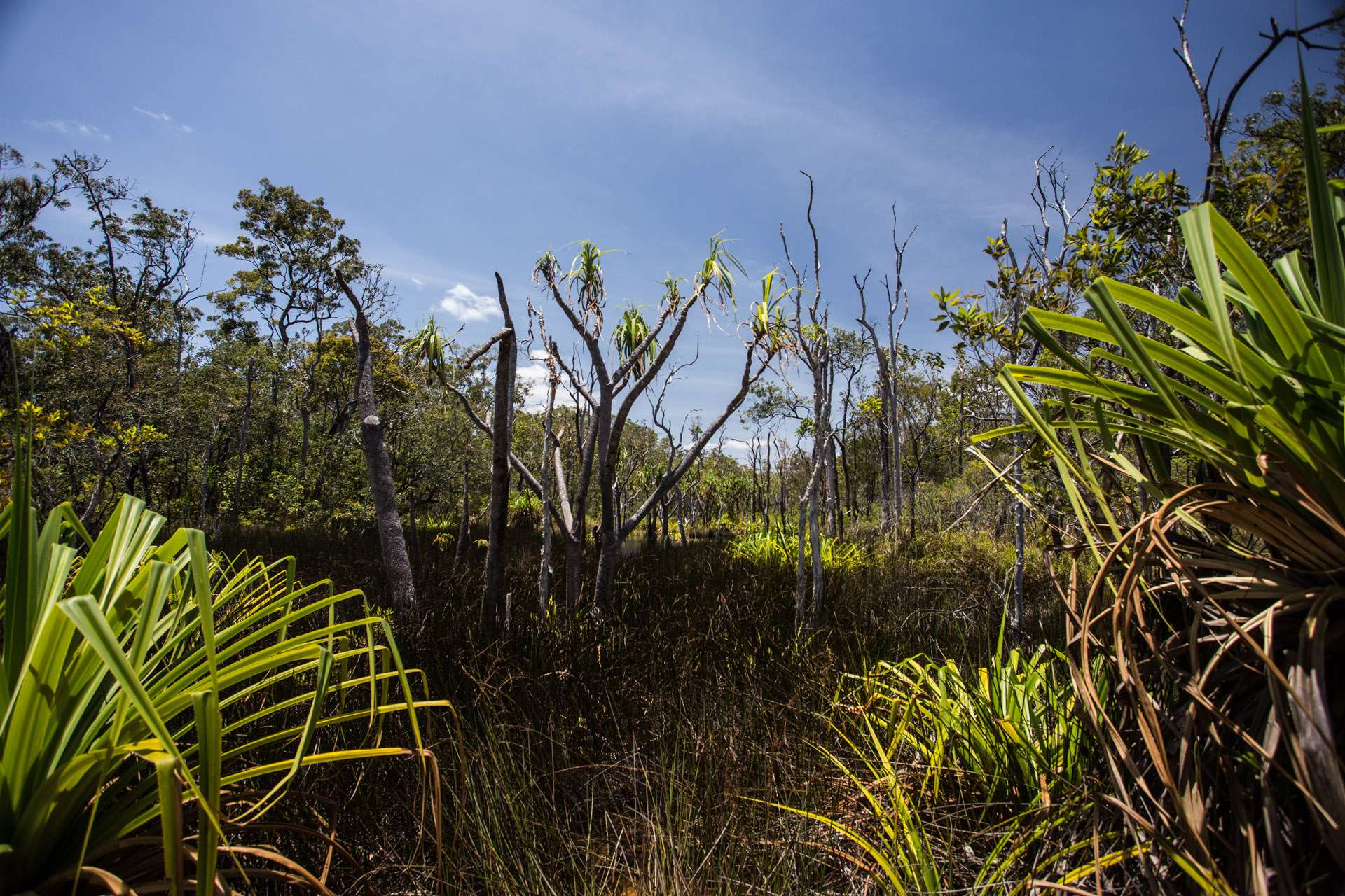
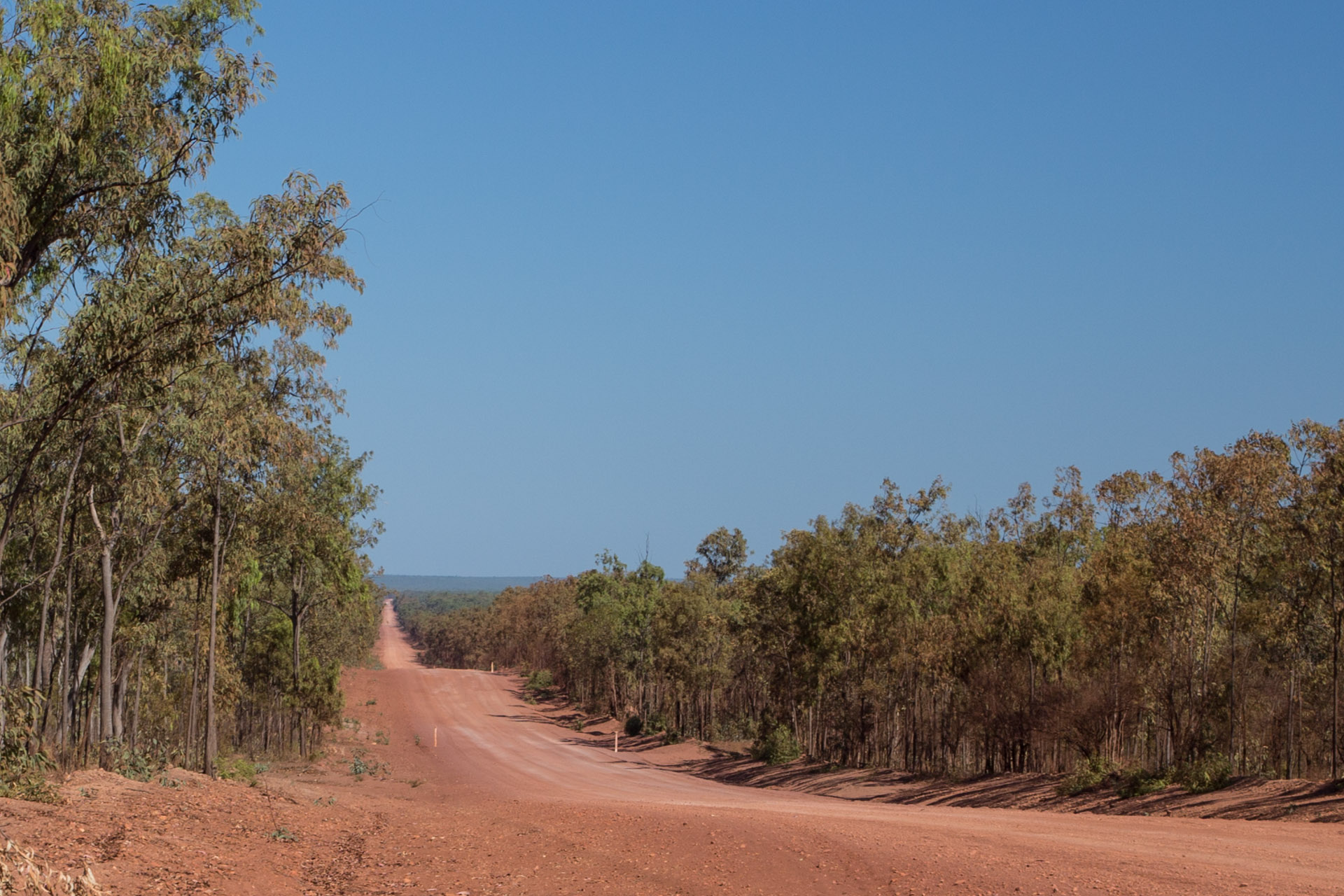
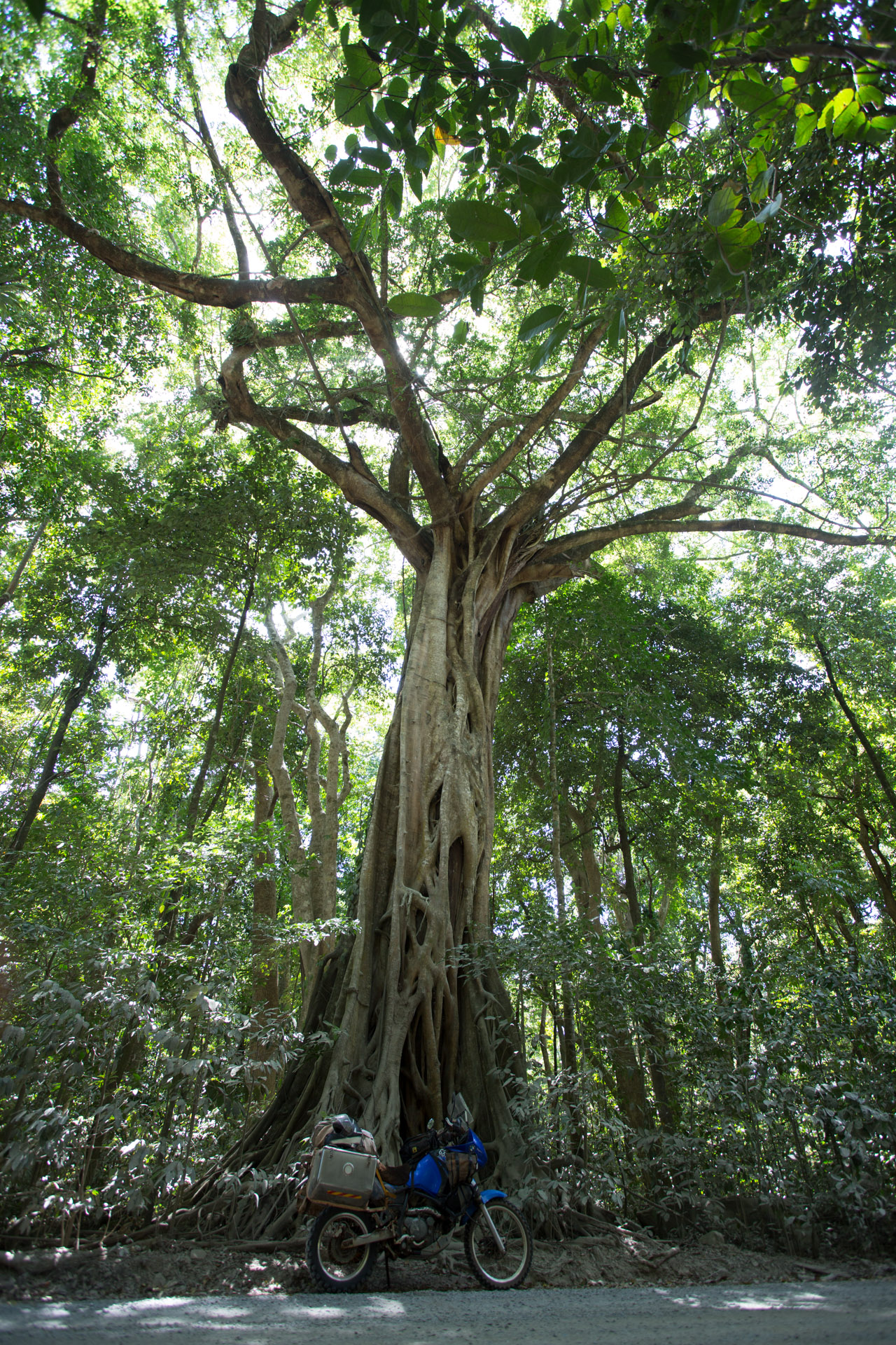
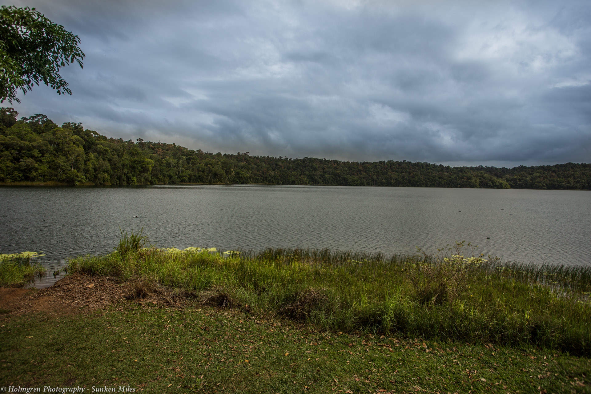
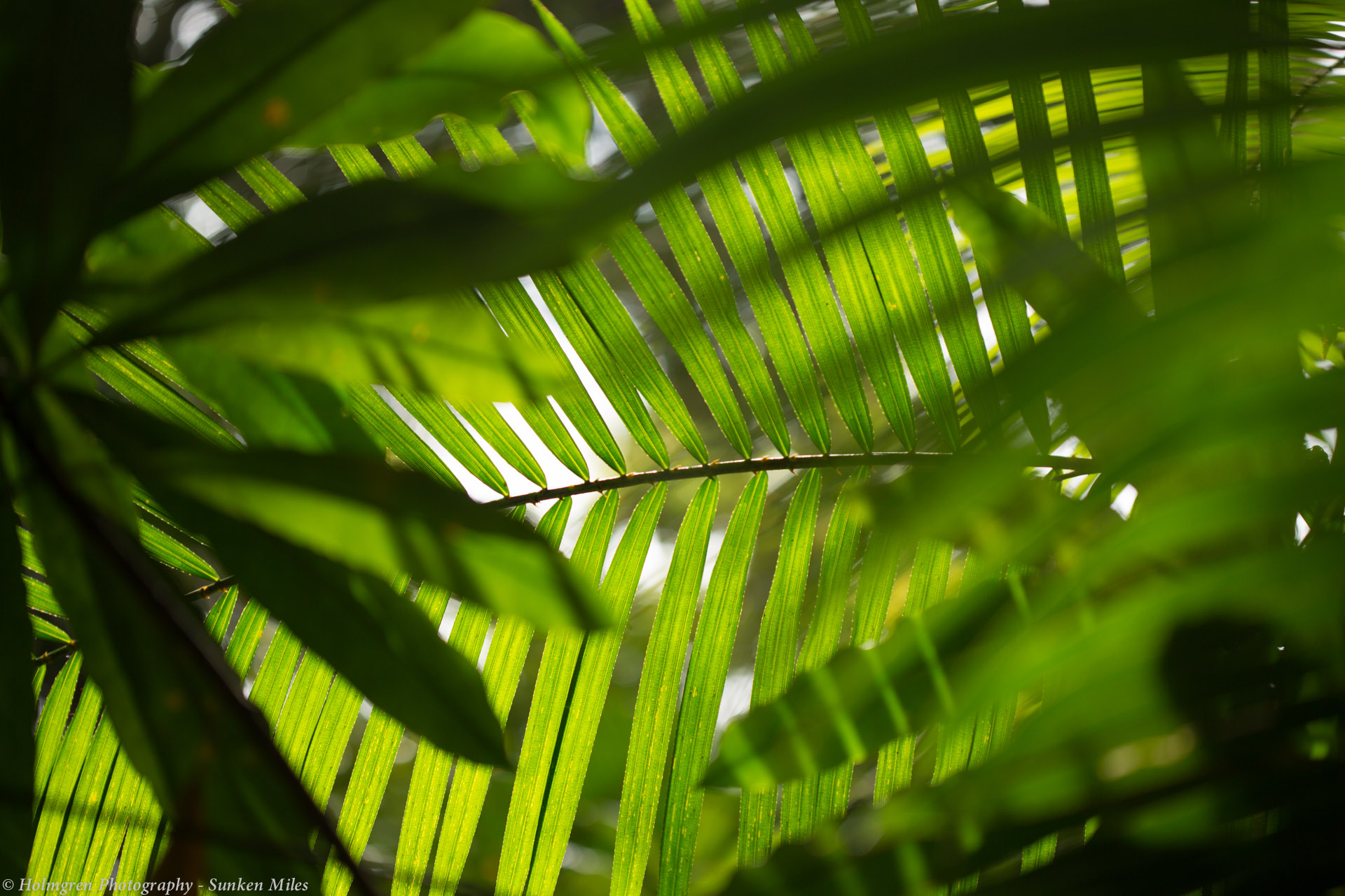
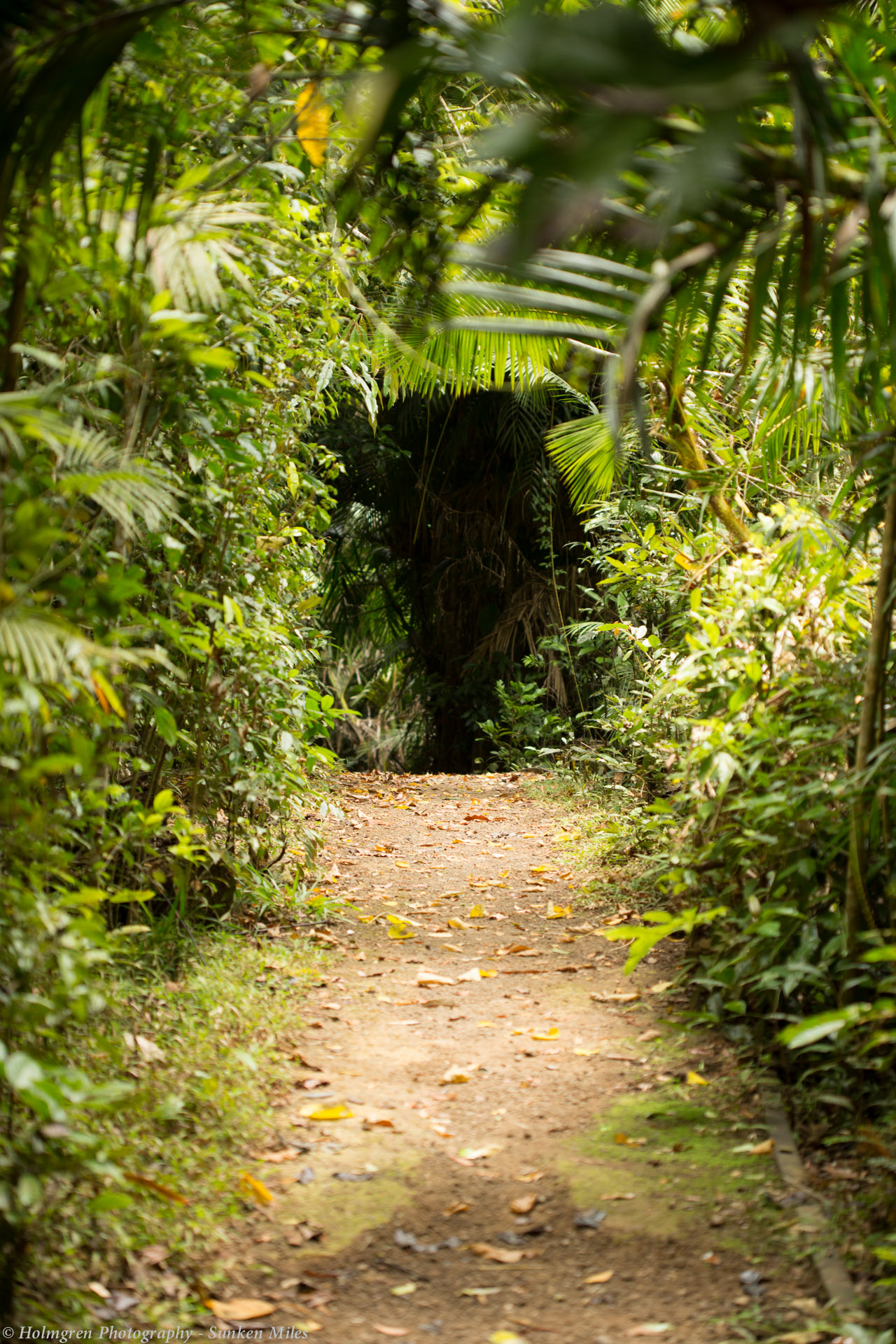
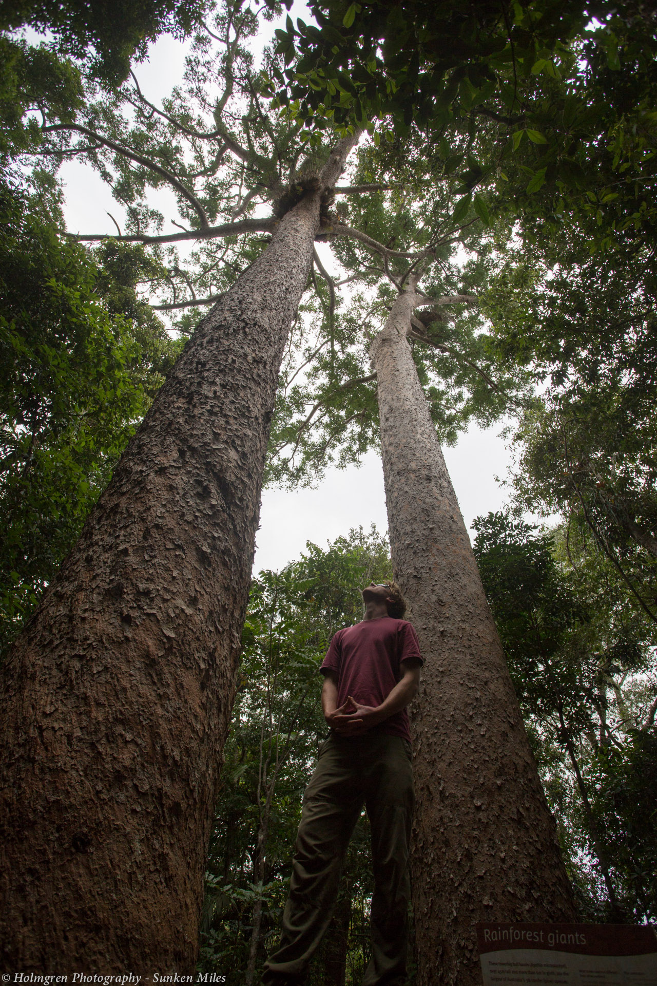
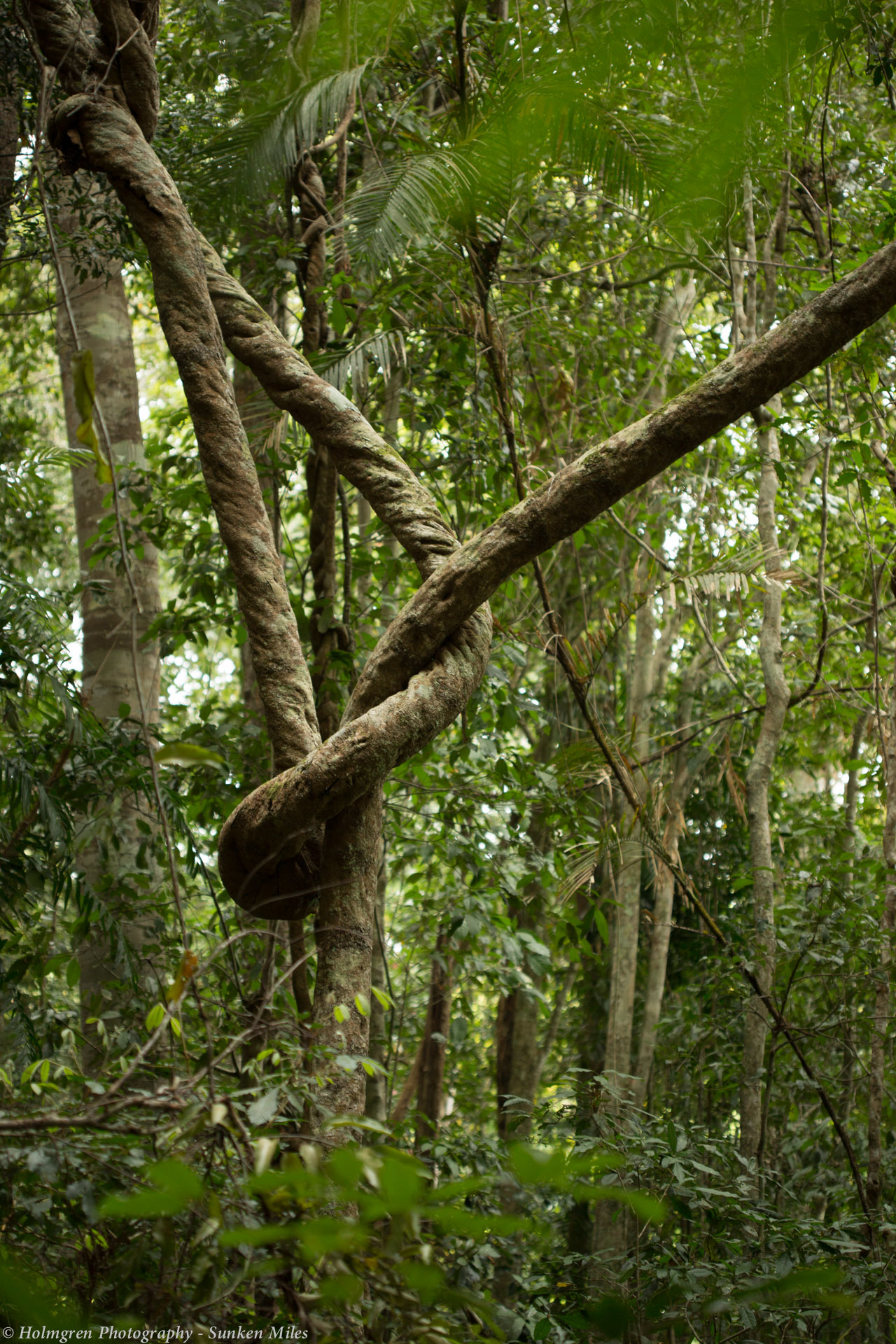
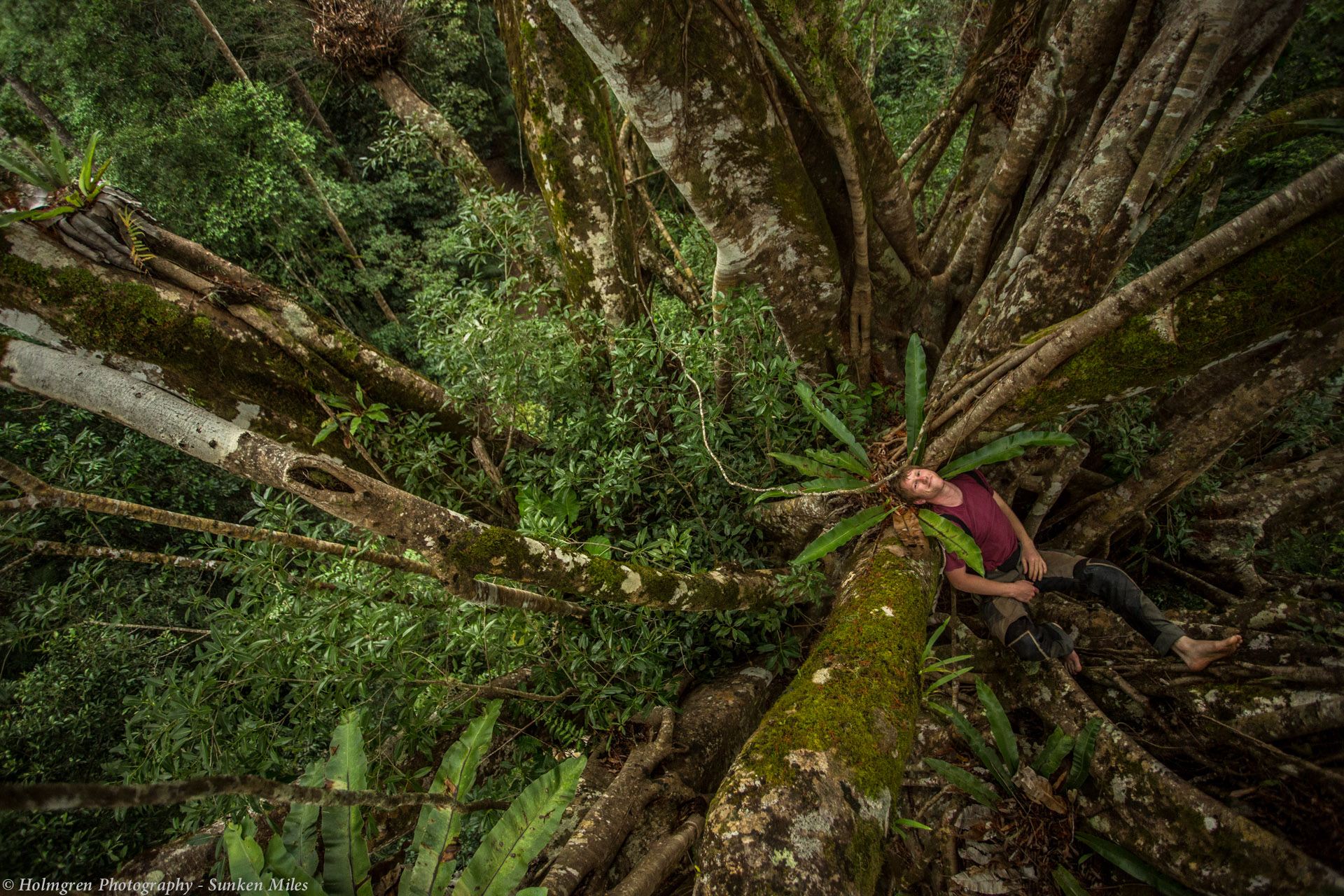
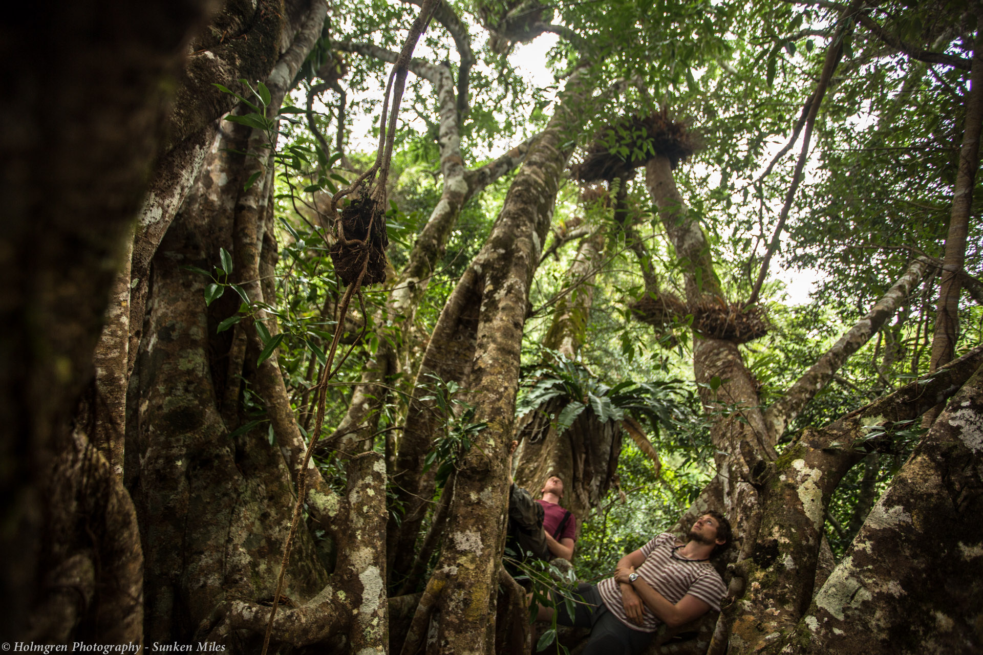
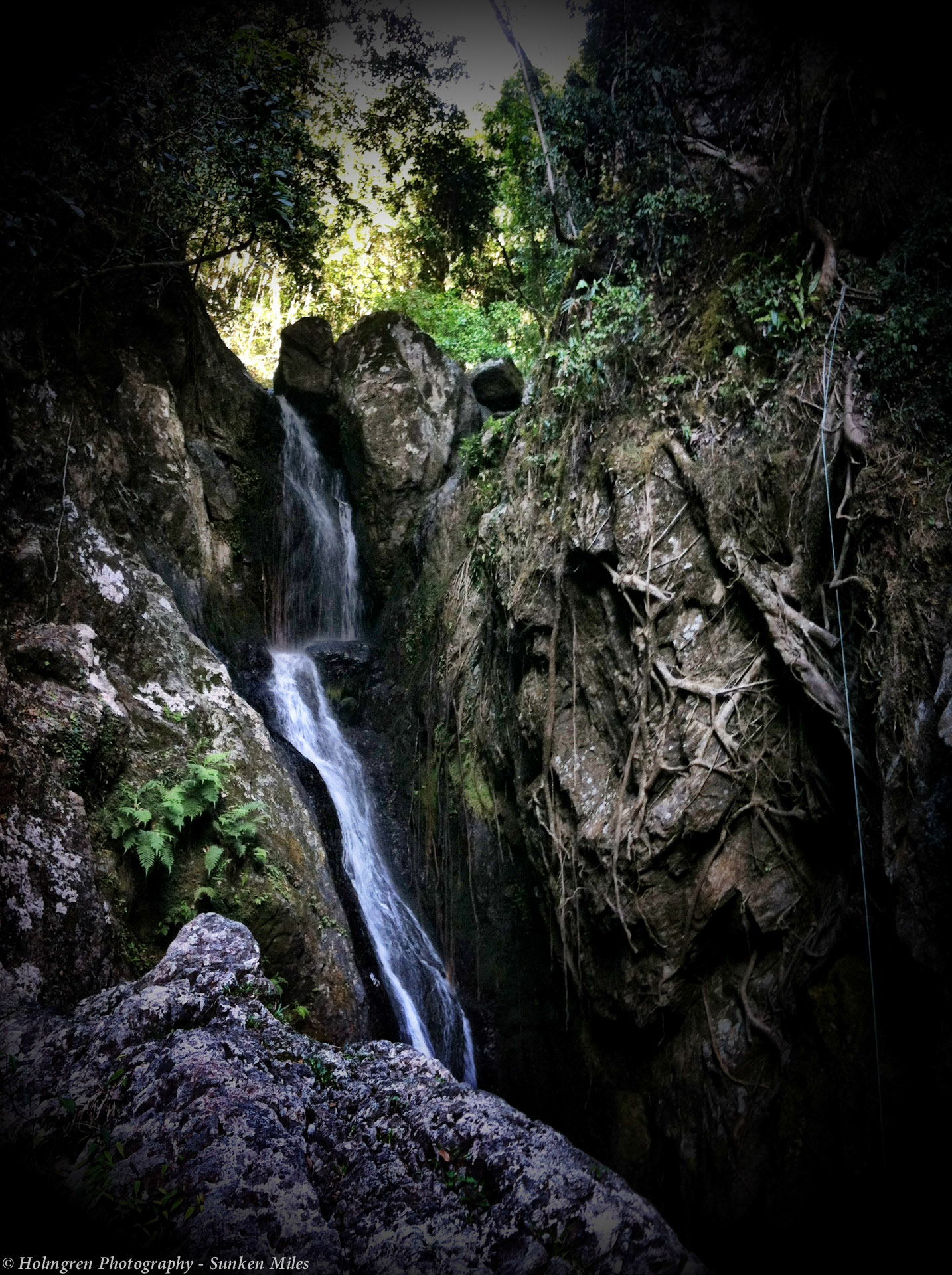
On Monday Laura took us to the Crystal Cascades waters falls for a swim in the afternoon. What a lovely spot tucked away in the hills just outside of Cairns.
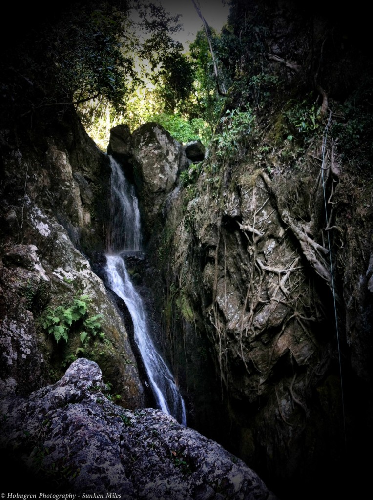
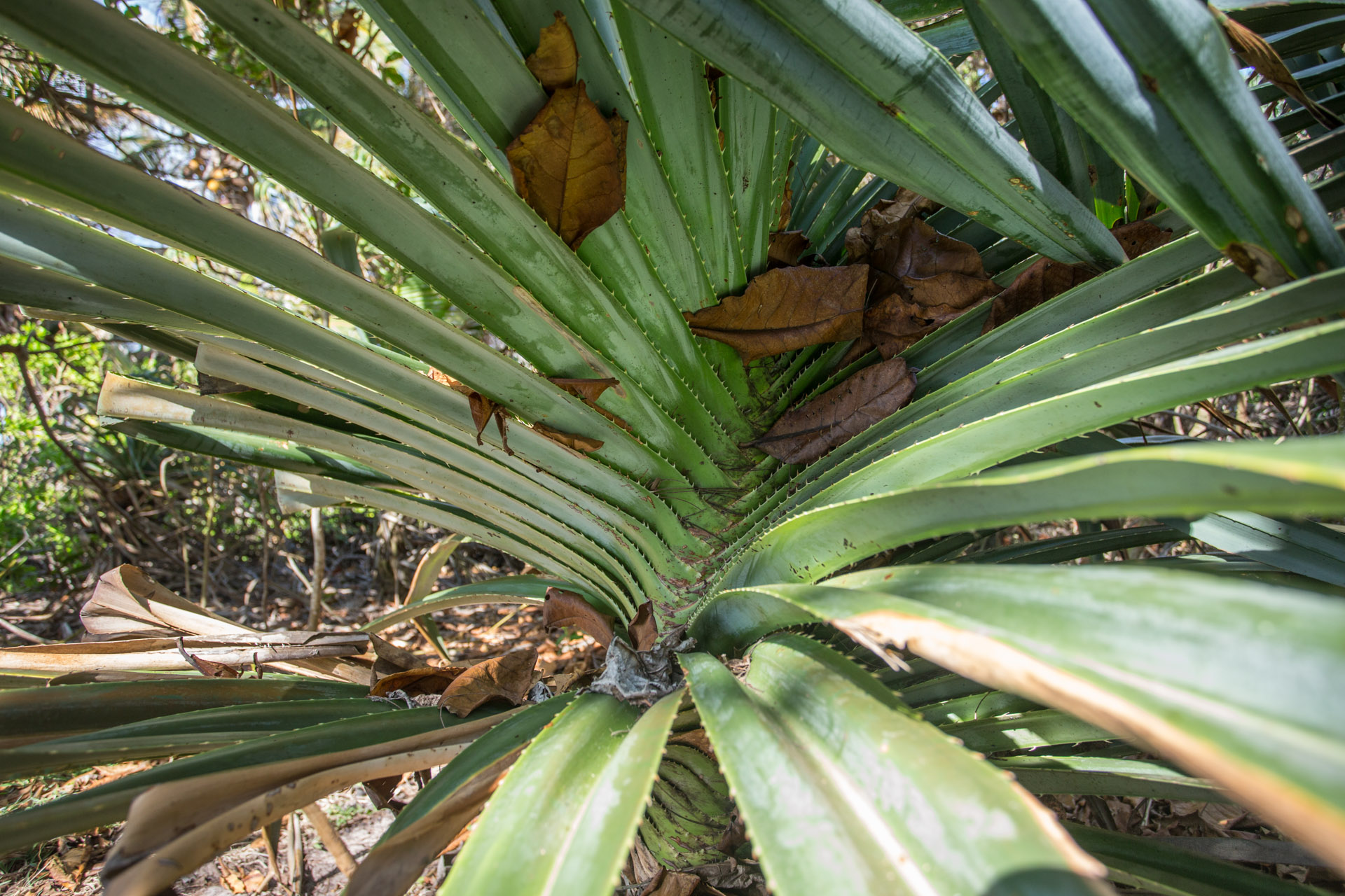
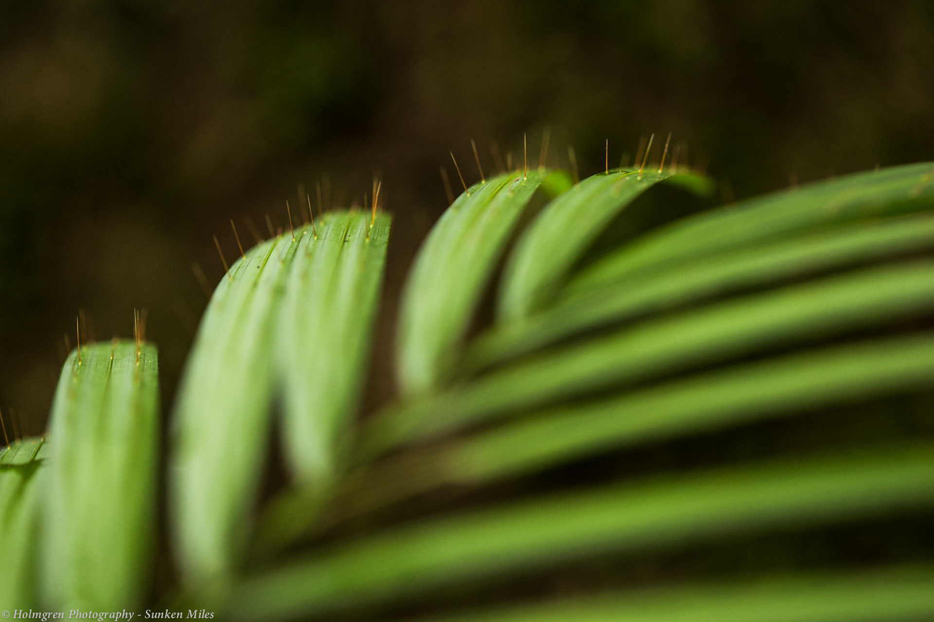
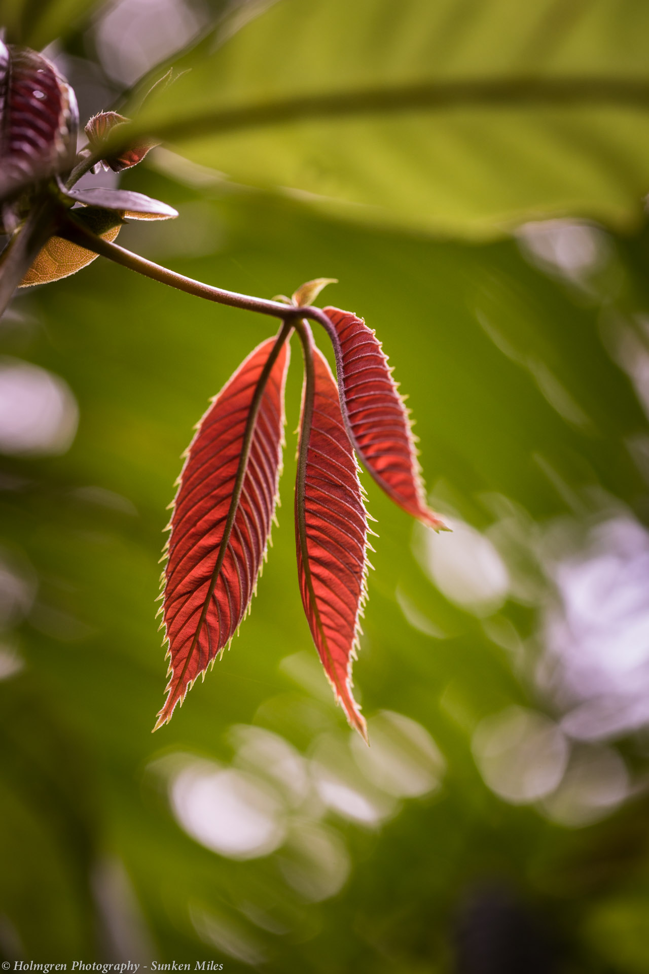
Crystal Cascade
That evening I began to feel unwell. I got a fair ol dose of the flu, so until Friday I was in bed with a decent fever. During all this I discovered that neither Wayne Leonard Motorcycles nor the Kawasaki dealer had the tools (a strong enough spring compressor) to get my shock apart. So it looked like I would just have to bounce my way to Townsville and get it done there.
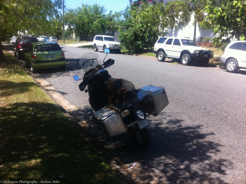
Still not feeling well but feeling it was time to give the poor guys at Lake st a break from mr sick, I got my stuff together and headed out. Raman will head south now but I am not ready to be riding just yet. So, at least for a time, Raman and I will go our separate ways. Mark, a friend of Brendan and Jake’s, offered me to stay at his place.
On Monday I decided to get a doctor’s opinion and get some blood tests if needed to make sure what I had wasn’t Ross River or Dengue Fever. I didn’t think it was and the doctor didn’t think so either. I am feeling very low on energy. A little reminiscent of how I felt after I had Glandular Fever back in 2008. To help get me back on track I headed over to a Chinese herbalist to gets some herbs.
As I left the the car park of the herbalist, Mawson began to run rough and then stalled. “That’s odd.” I tried to start the engine again and there was a nasty kind of kick back. Almost like the engine bounding off the compression and heading backwards for a sec. It doesn’t sound great. This sound has happened before. I have cringed but its never caused an issue. I tried to start the engine again but this time the sound was different. It would turn over but no life. “Here we go” I thought to my self. “Here’s the mechanical exam”. Am I able to fix this my self?
I thought of a line from the book, Zen and the art of motorcycle maintenance (that I am yet to read), “Find a good shady tree under which to carry out your repairs”.
Up here it is sage advice indeed. The 3pm sun beat down on my back in the bitumen car park but I soon found a place to push the bike to that was shady.
And so I began my exam.
Out came the carefully built toolkit. So what first. I thought the tank better come off. I’d check my spark plug first up.
Less than 10 minutes later the seat, side covers and tank were all off and I had blow all the grit out of the spark plug well with the compressor. The spark plug was a little black. I changed it for my spare and checked for spark by cranking the engine over with the plug out. Spark is good…but wait, why is the carby pulsing when I turn the engine over!?
At this point I knew I was dealing with something out of order in the valve train. Not good at all!
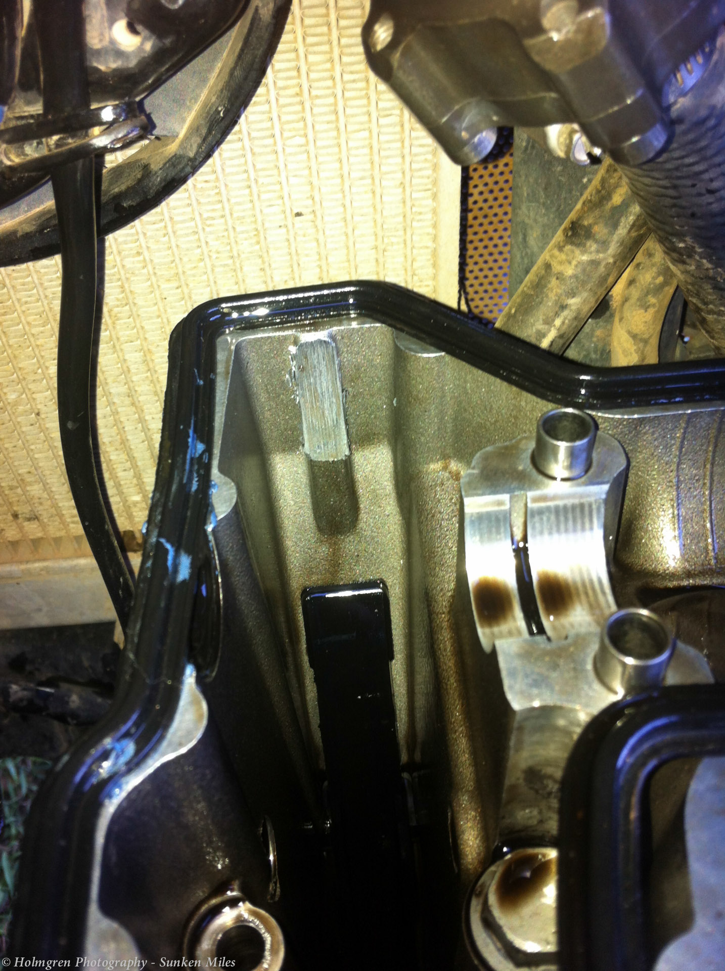
The next step was not so exciting. Pulled the cam cover off on the side of the street. Opening up the engine should be done in a clean workshop, not on the side of a street. However I have no clean workshop to do it in near or far, short of Donnie Lyon’s place 400km away. So I opened it up. Getting the cam cover off is tight and took a lot of effort indeed.
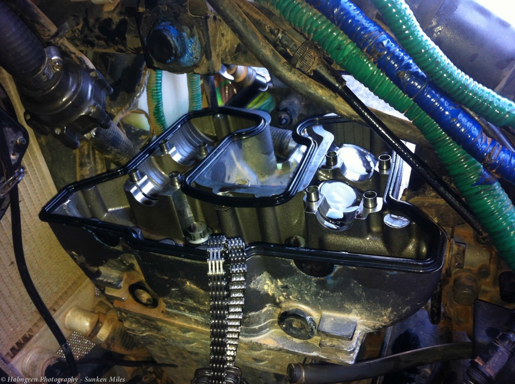
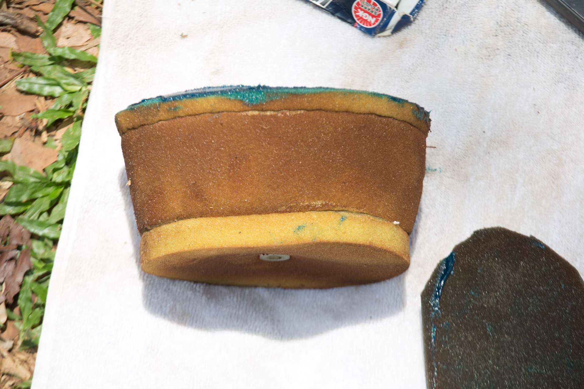
Cam cover off
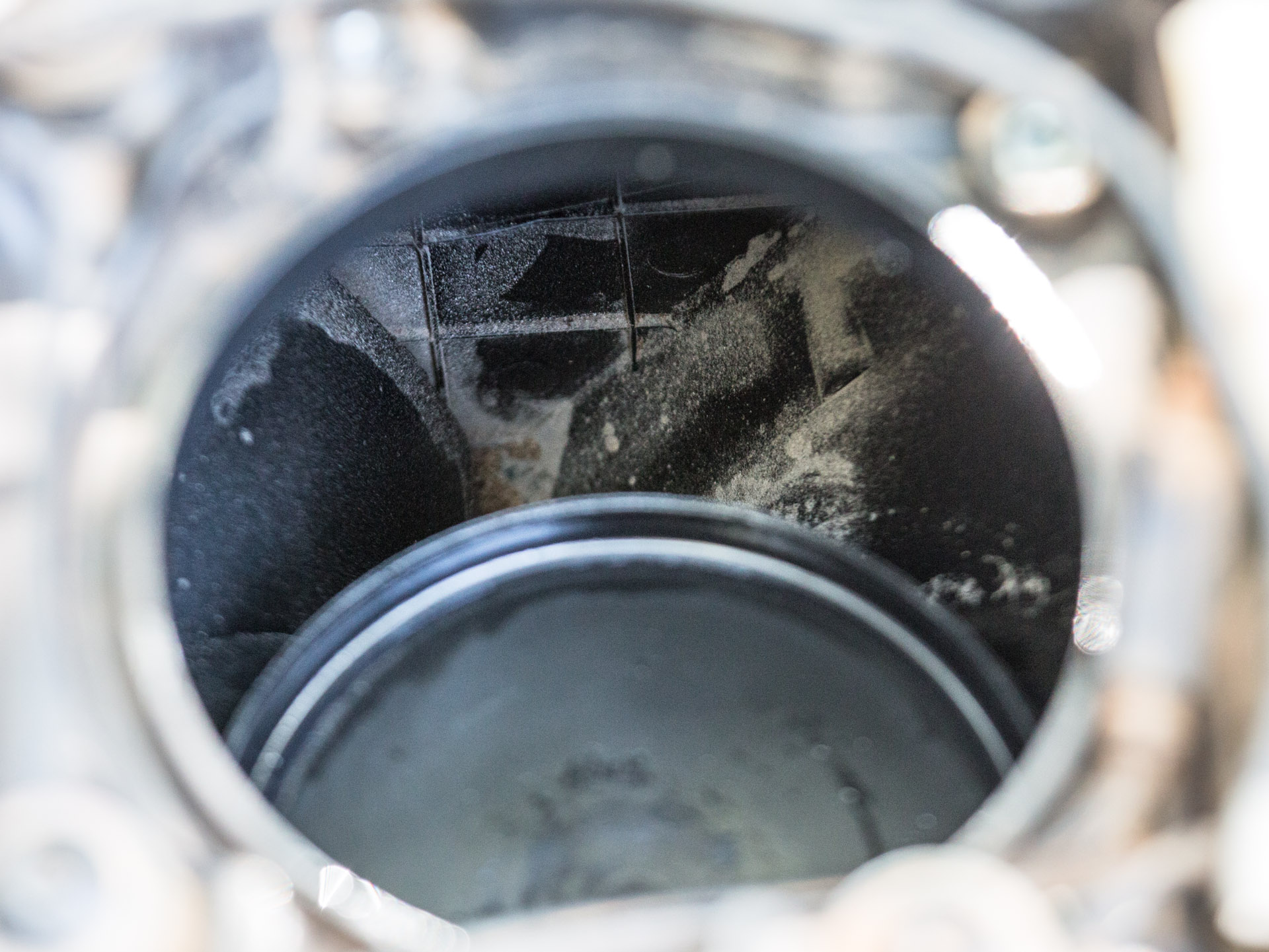
Once inside I could see the cam chain was loose. Not good at all! All the symptoms made sense. The intake valve cam had jumped a lot of teeth and was very much out of sync. I am not sure if a valve has hit the piston.
The cam chain is very very worn and has been rubbing against the case. A significant amount of metal has been worn away. The cam teeth have noticeable wear too. The cam chain tensioner is no longer able to keep the chain tight as the chain is so worn. The chain and cam teeth were in great condition when we did the rebuilt at Donnie’s place. This is the result of some sort of abrasive compound, presumably dust in the oil.
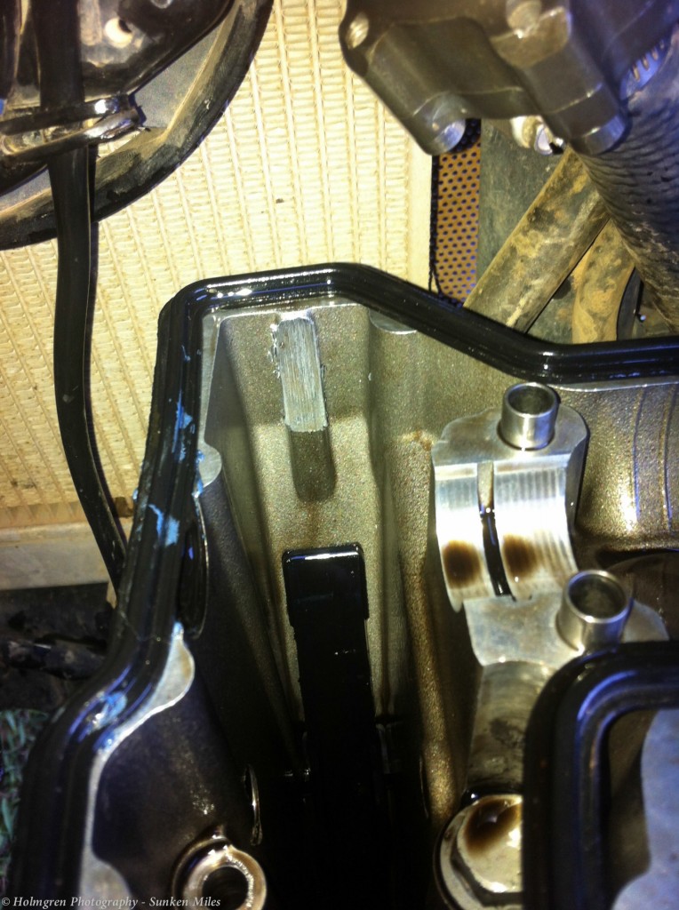
Wear on the case from the cam chain rubbing
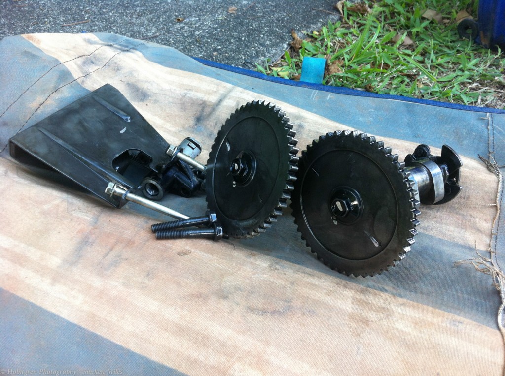
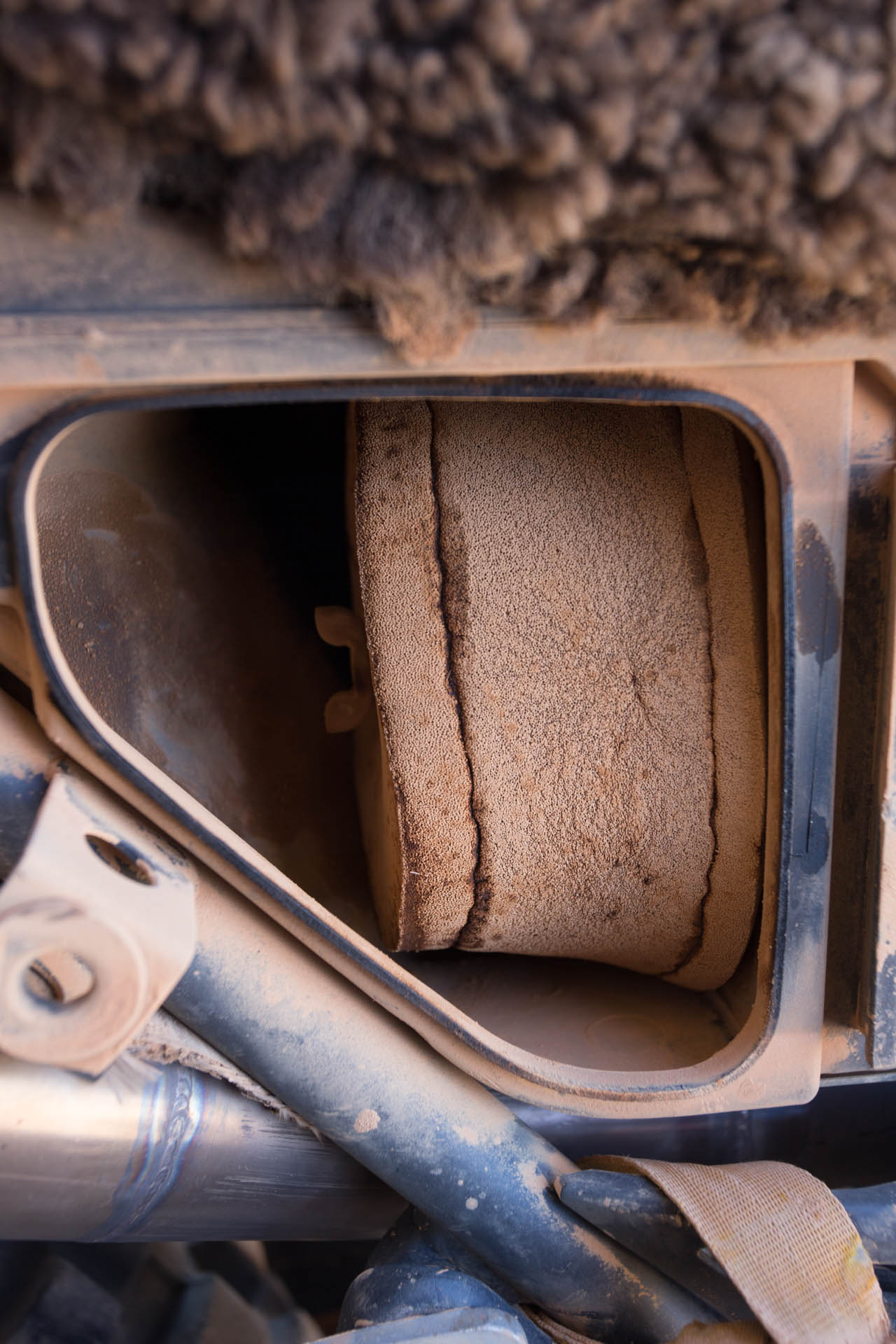
Cams out on the foot path *cringe*
I retimed the engine but there wasn’t much point running it without tightening the cam chain. It would likely jump again, potentially doing a lot of damage.
I considered using quick steel to build up the chain tensioner to try to get me to Donnie’s.
I put it all back together and by this time is was 8pm and very definitely dark. Couldn’t have done it all without the help of my LED Lenser H14 head torch. Having spent five hours on the side of the footpath, I was tired and ready to call it a day. I pulled everything off the bike and called a taxi.
Back at Mark’s I ate and fell into bed in my tent. I would face the difficult question in the morning.
Waking on Tuesday morning, I had a very difficult decision to make. What should I do with the bike considering what I saw last night?
I don’t know how or what wore the cam chain, but I am pretty sure it will have worn everything the oil is in contact with. Some how dust has got into the oil, it seems.
The reality of all this is that, without pulling the whole thing apart, I just don’t know how much wear has occurred. I have to assume lots. There just isn’t any sense paying a bike shop to change the cam gears and chain knowing what I do. I am at a difficult cross roads. What do I do with the bike?
After talking with my parents a bit and thinking I decided to freight the bike back to Vic where I may swap out the engine in my own time in my workshop.
So, I took the plunge and found a company to freight the bike home.
The last of Mawson, all packed up but dead, before sending him home
Wayne’s Motorcycle towing offer a service from Cairns to Melbourne for bikes at $660.
And so, quite unexpectedly, the Sunken Miles journey comes to a close.
I am standing here blinking, in shock how quickly it has all come to an end. Less than 24 hours from the problem to it being gone on a truck. What a crazy set of events.
It has been an amazing journey and I am very grateful of the experiences, challenges and lessons it has thrown up.
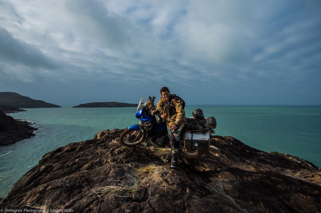
Mawson got me to Cape York and back out. I am glad that it has happened this way rather than in some remote place.
I have done my very best to keep the bike functioning despite the harsh conditions. I managed to ride my bike for just on half a year in some very challenging conditions time and time again without injury and for that alone I am very happy. The fact that the bike is in poor shape and I am well is much better than the other way around.
I rode Mawson from Victoria up the Great Dividing Range through some of Australia’s toughest country to the Northernmost tip of Australia and back to Cairns over 16,266 km in 175 days.
[map style=”width: auto; height:400px; margin:20px 0px 20px 0px; border: 1px solid black;” maptype=”SATELLITE” z=”3″ gpx=”https://sunkenmiles.com.au/wp-content/uploads/SunkenMiles(Small).gpx”]
An incredible journey of challenge, Sunken Miles.
Thank you to all those who have contributed to this incredible journey. Your are always welcome in my home.
I have enjoyed sharing this amazing experience with you all.
Oliver Holmgren
Sunken Man