Vrilia Point to Canal Creek

Having enjoyed the Old/Overland Telegraph Track on the way north, we decided to return south via this route instead of the horribly corrugated, dusty and overly uninspiring Peninsula Development Road. Having organised to meet Christof at Nolan’s Brook today, we got up early. Before departing Vrilia, collected salt from the rocks on the point that formed natural evaporation pools, collecting sea salt. We were low on salt and it is particularly tasty.

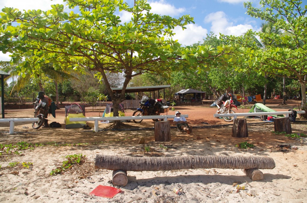
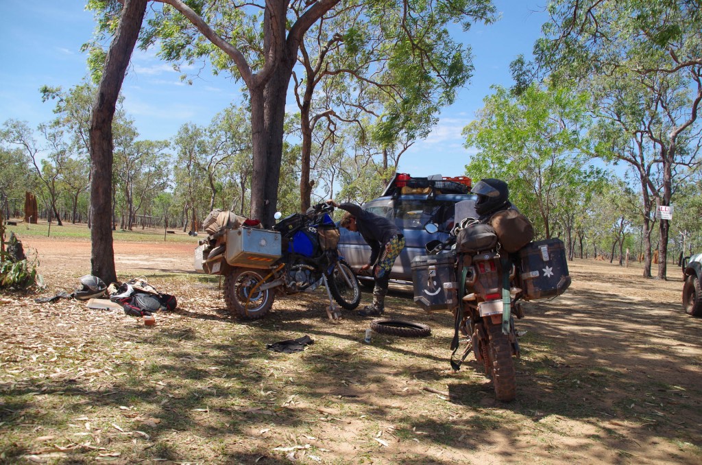
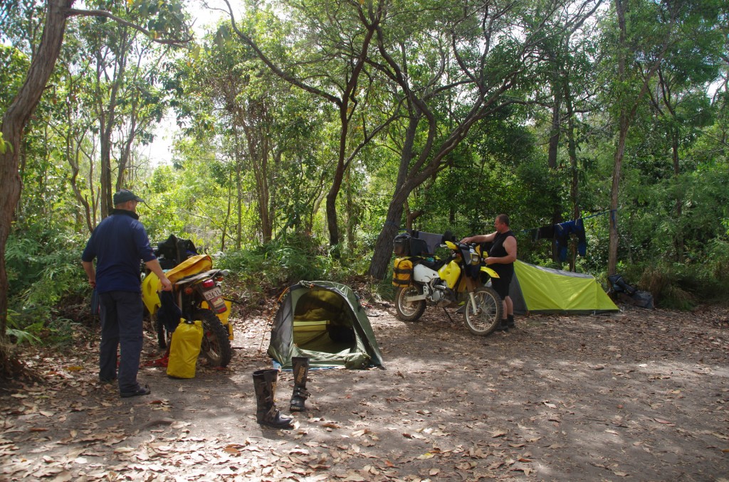
There were a few other adventure riders camped at Nolan’s Brook when we arrived.

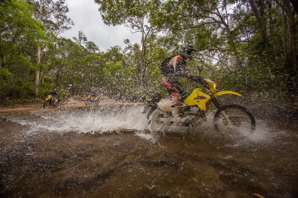
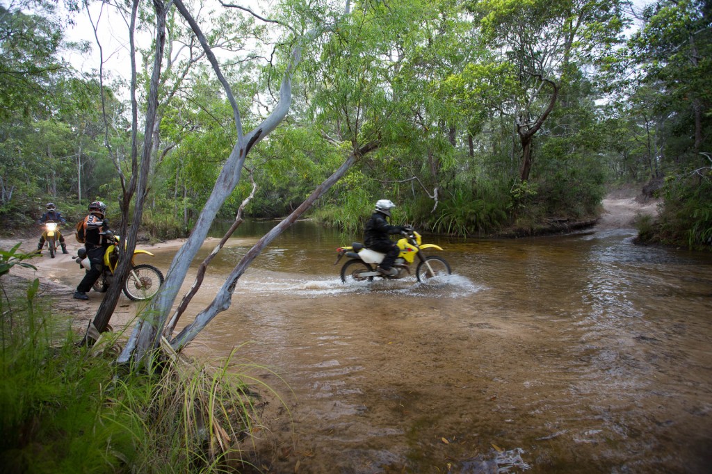
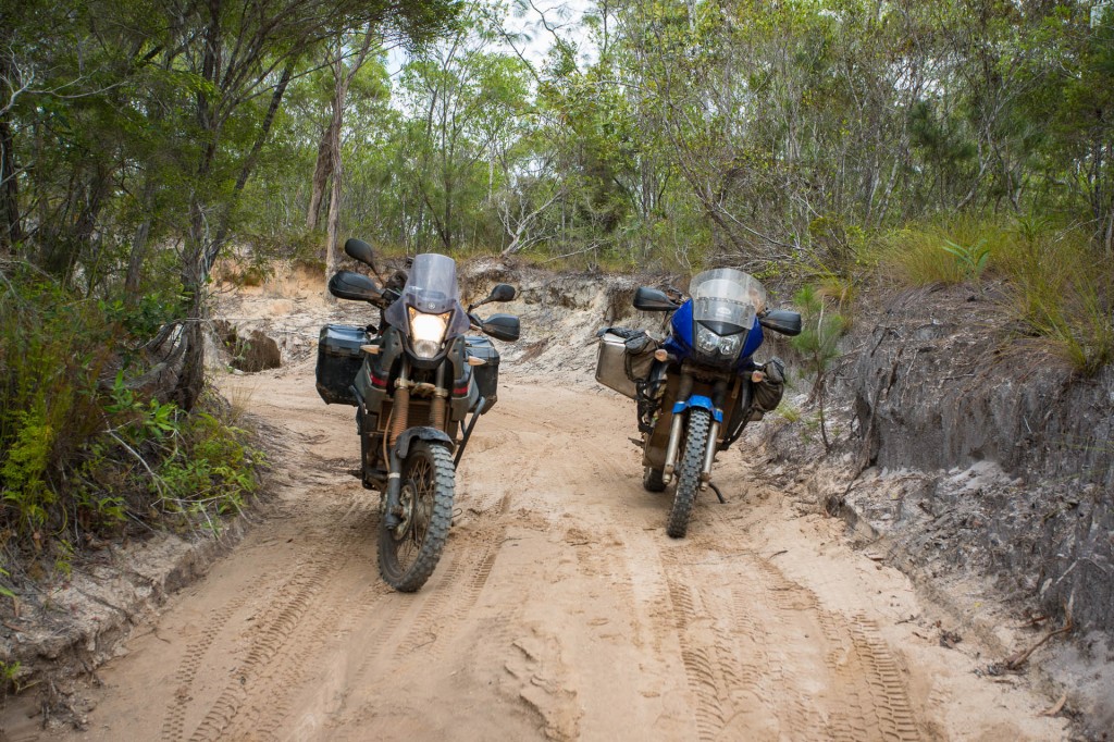
Two guys camped at Nolan's Brook on Suzuki DRz-400 dirt bikes

Two guys camped at Nolan’s Brook on Suzuki DRz-400 dirt bikes


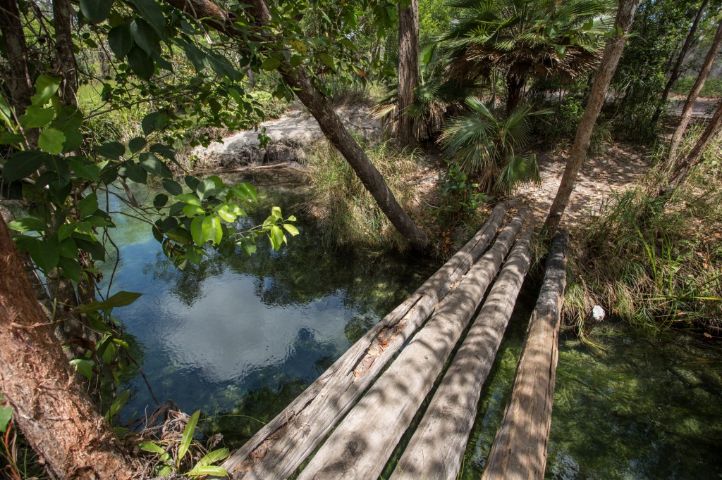
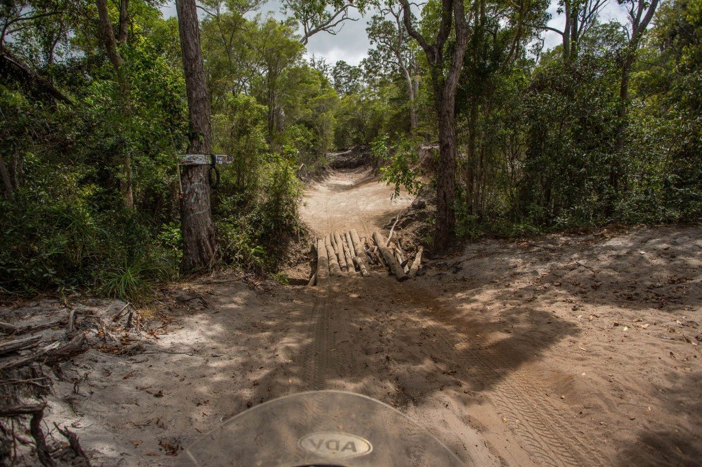
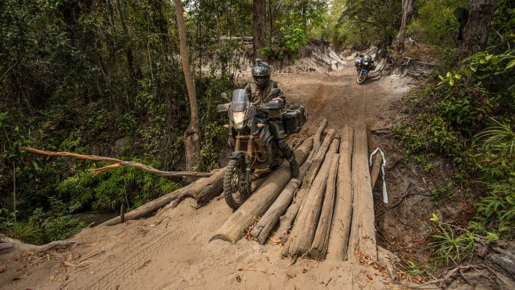
The log bridge over Nolan's Brook

The log bridge over Nolan’s Brook


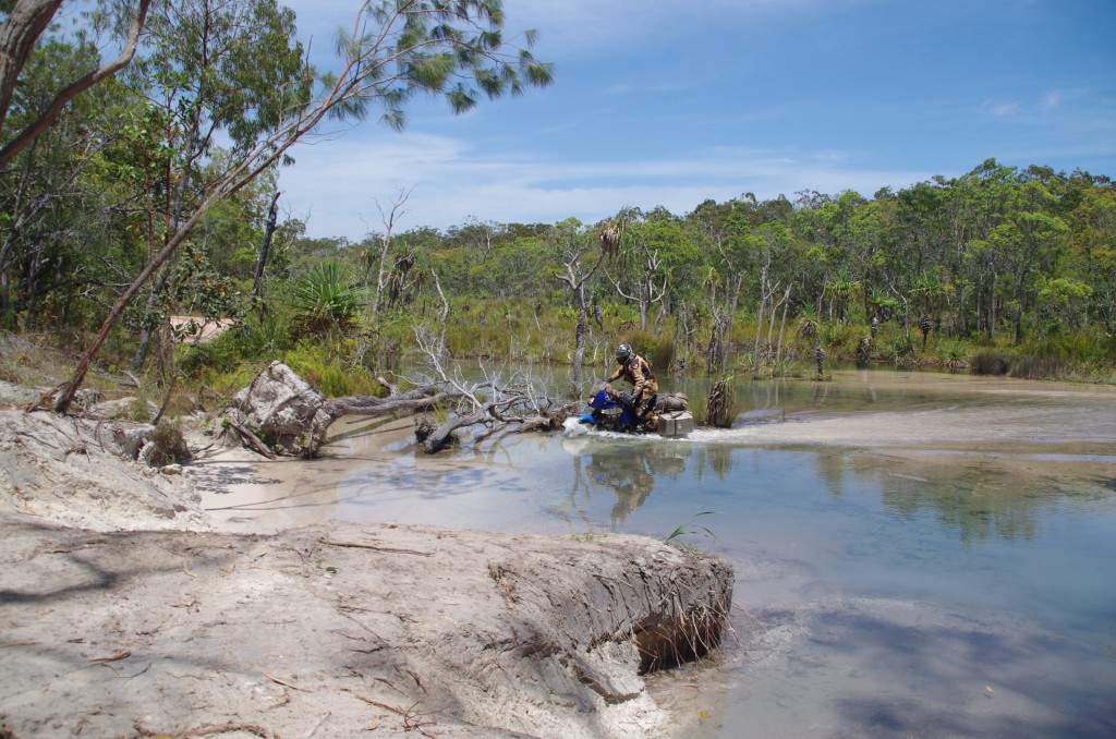
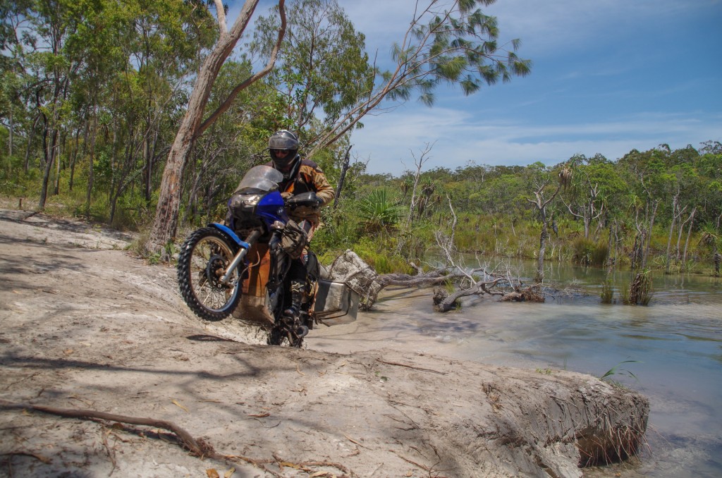
The fourth log on the right was laying in the creek when we came up on our way north and during our stay we hauled it into the current position with the help of my rope and pulleys. Apparently it has been just the three logs for over twelve years. The addition of the fourth log allows one to place a foot on either side of the bike and sort of shuffle your way across with the wheel in the centre groove. Before it was a lot more tricky! Despite this significant improvement, I still opted to the brook the way we did on our way north rather than risk dropping my bike off the bridge and once-and-for-all “Sinking Mawson”.

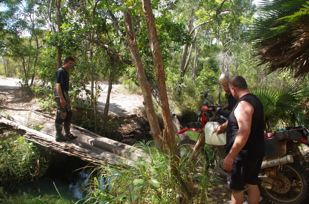
Christof decided he would try the bridge as his bike is narrower.

Chris ready to make his crossing

Chris ready to make his crossing


Coen (23 of 69)

Familiar territory(photo credit Raman)


Still managing to have a blast despite the ailing shock

Still managing to have a blast despite the ailing shock (photo cred. Raman)

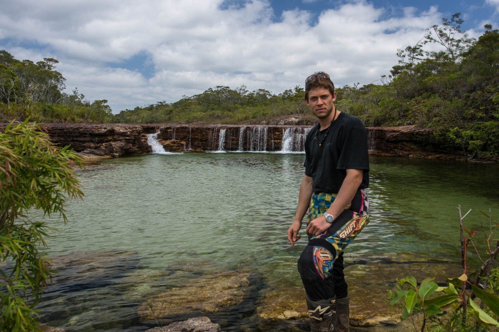
Ahhh, back at twin falls

Ahhh, back at twin falls (Photo credit Raman)


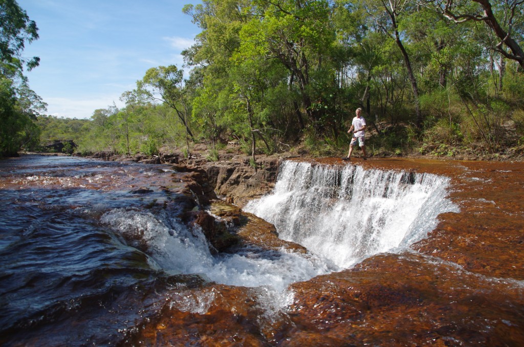
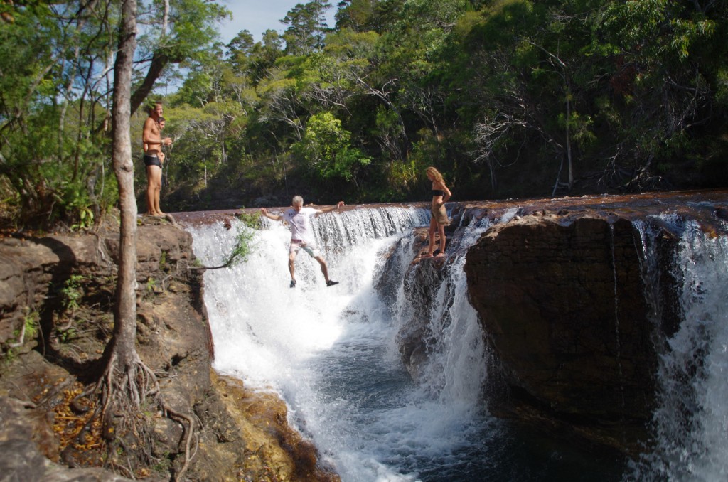
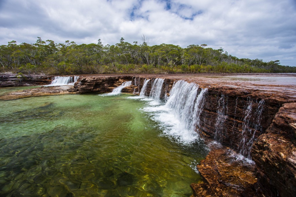
Elliot Falls (photo credit Raman)

Elliot Falls (photo credit Raman)


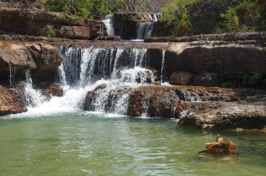
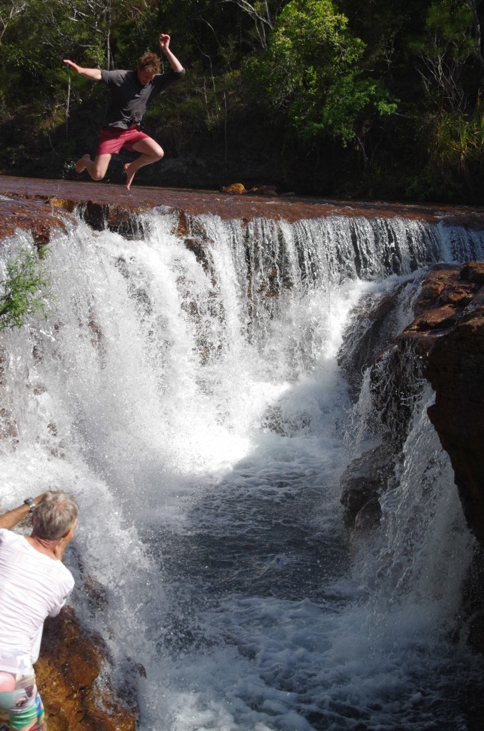
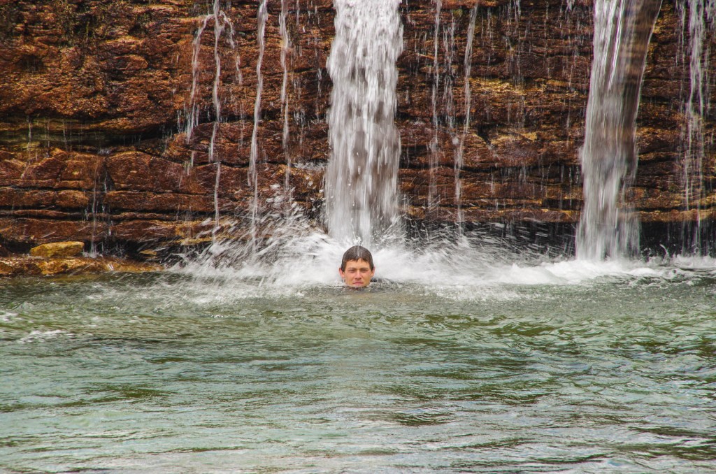
Chris taking the plunge, Elliot falls (photo credit Raman)

Chris taking the plunge, Elliot falls (photo credit Raman)


Fearless Raman

Fearless Raman


We spent the afternoon in the water before heading back down the track a little at way to camp at Canal Creek where we camped on the way up.

Comments { 2 }

Sun on the water (Ussher to Vrilia)

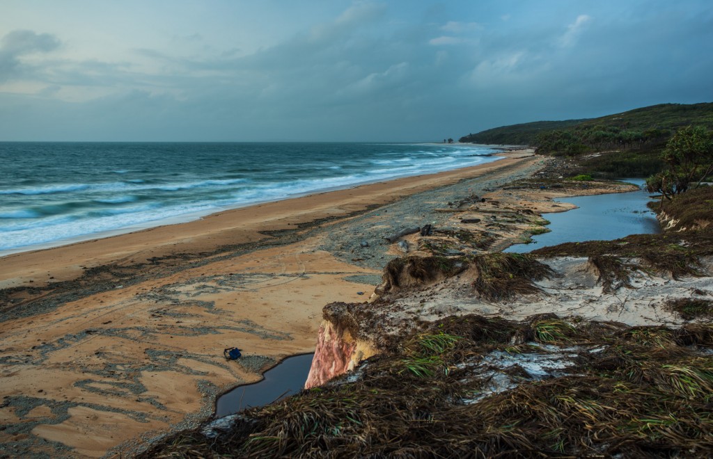
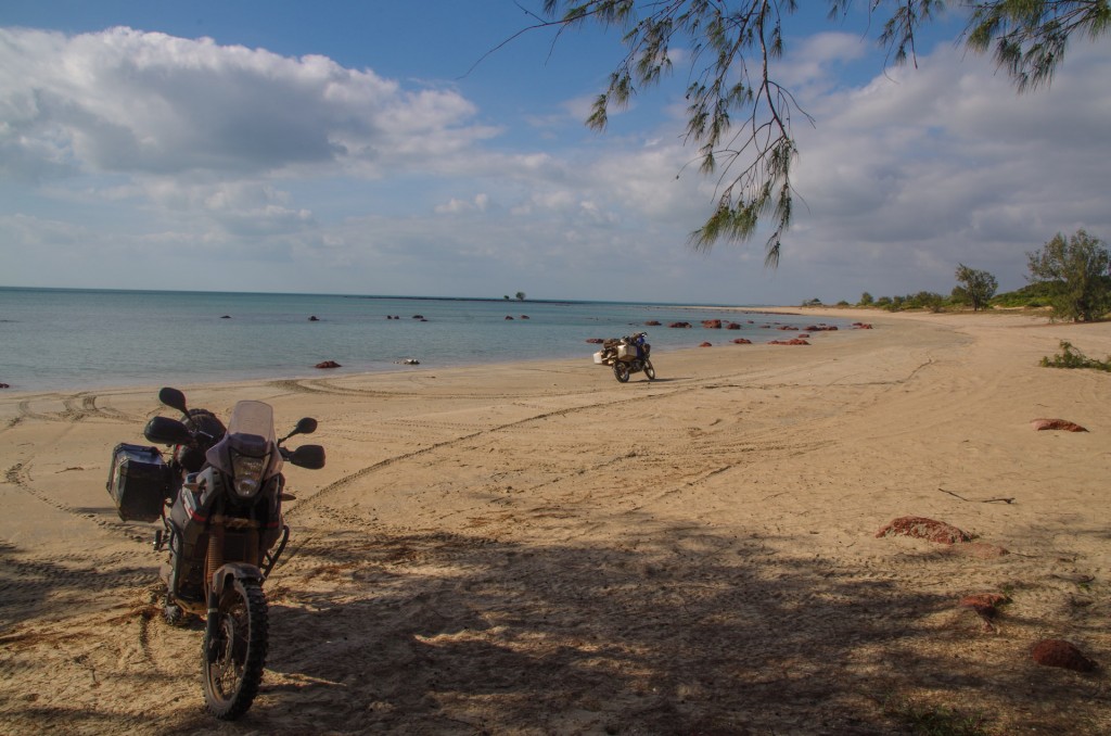
Waking at 5:45 to my alarm, I wandered out to the small cliffs above the beach, cautiously. Raman had spotted a big eye in the little lagoon just behind the beach and some big belly slide marks leading out into the sea last night. From my vantage point on the low cliffs I could see in the soft early morning light the makes from the resident lizard.


Coen (11 of 69)

My first long exposure, softening the waves and brightening an otherwise dim view south over the waves.


Sitting atop the cliffs my thoughts drifted, moments of the past five months coming and going, the journey south ahead of me, back to the waves washing at the beach in front of me and…those lizard marks.


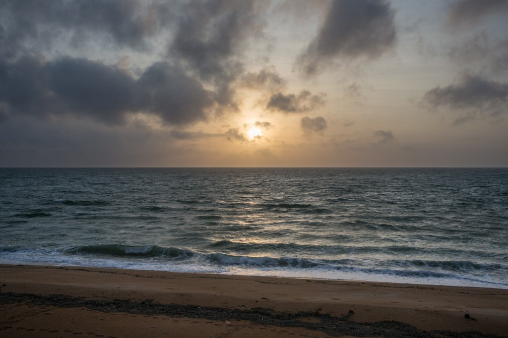
I had quite a while there on the cliff before the sun emerged from the broken clouds.


Coen (12 of 69)

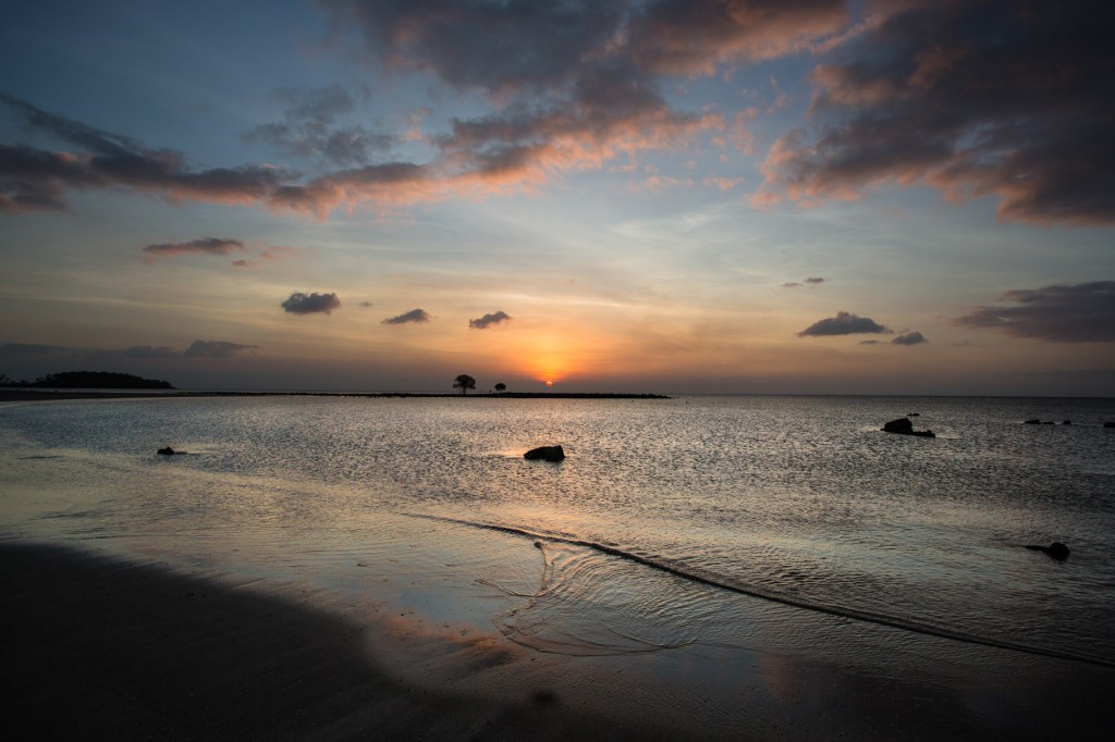
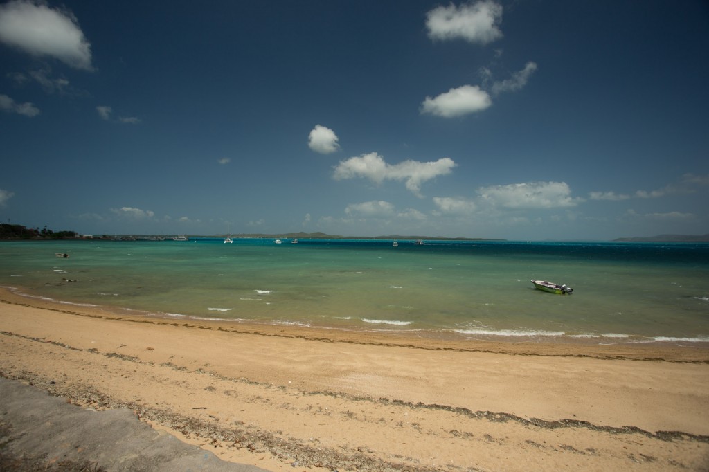
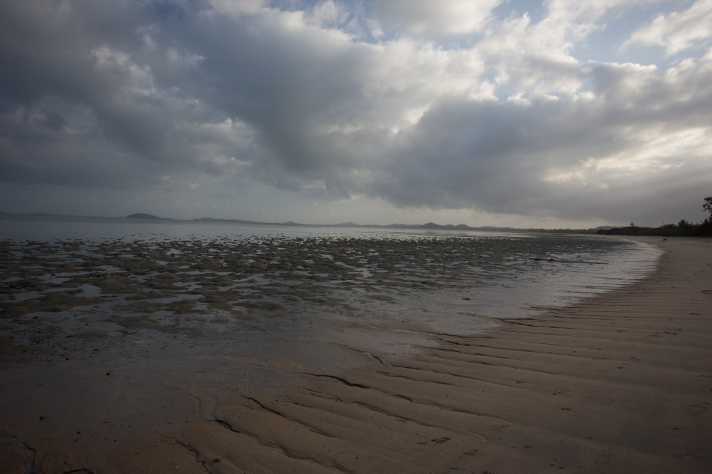
Sunrise on the 2nd of October, 2013, east over the Coral Sea.

A close look at the lower left of the frame reveals some of the “lizard” marks.


After a slow breakfast and pack up, we headed west.


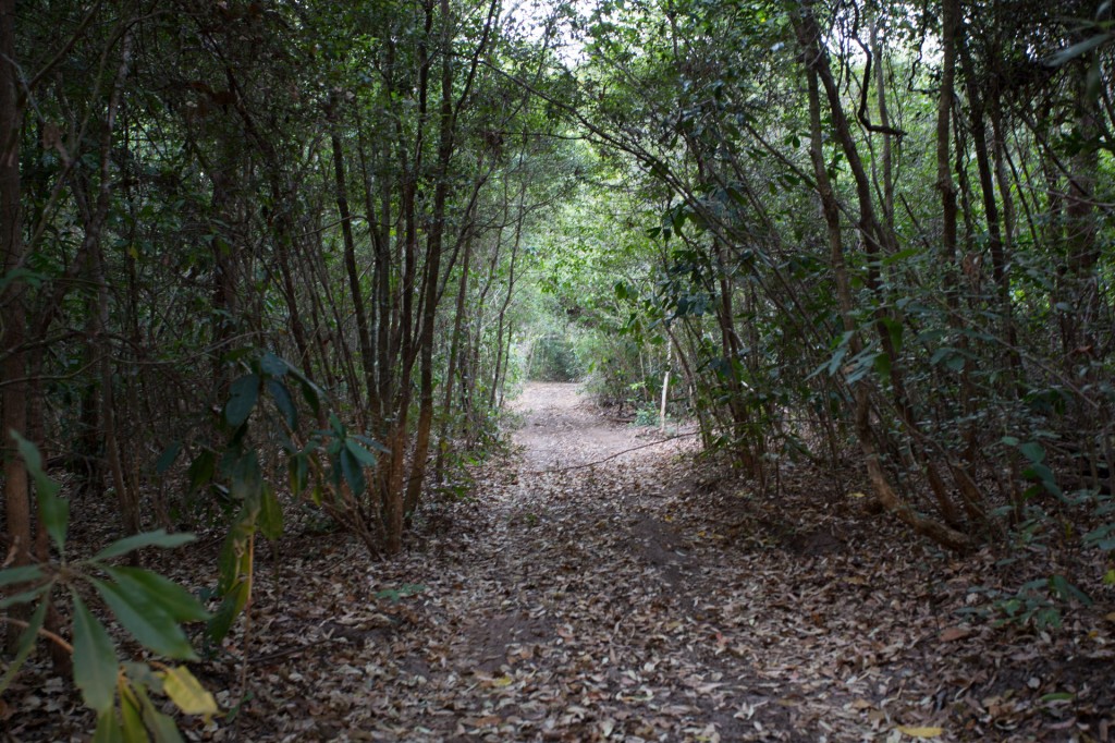
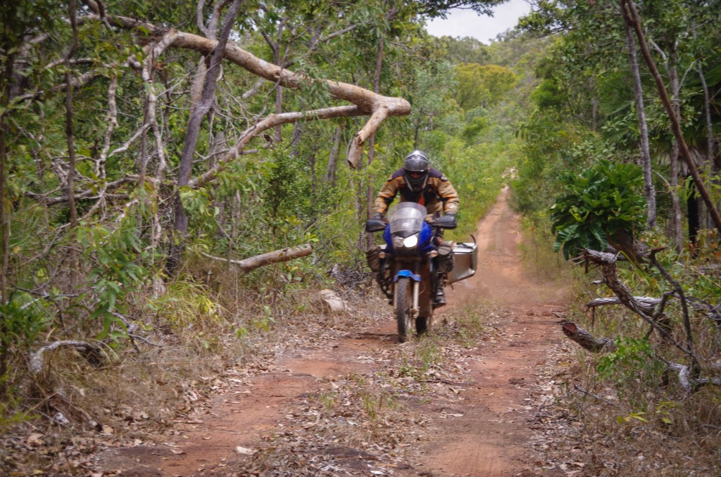
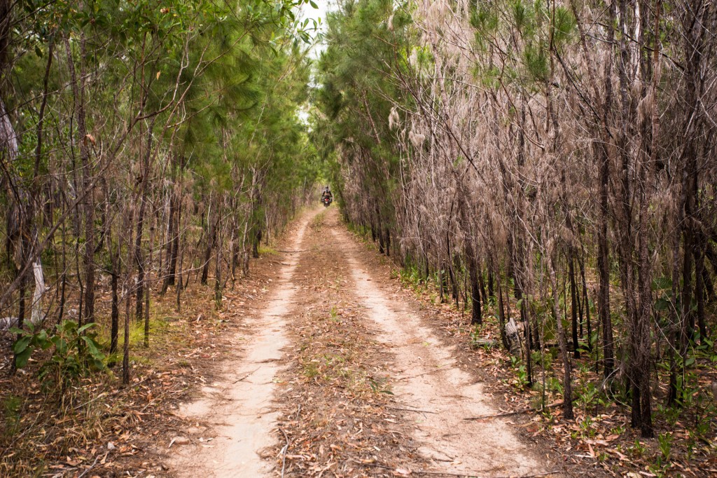
Close to the point the track winds under thick vegetation, at times in a complete tunnel.

Close to the point the track winds under thick vegetation, at times in a complete tunnel.


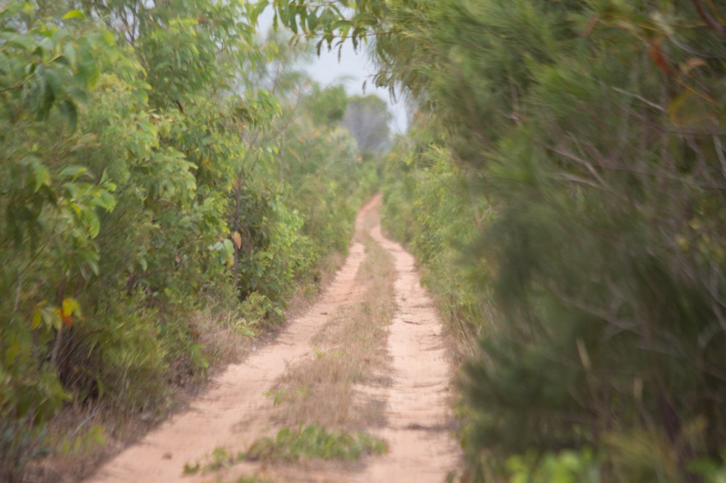
Back into the dryer vegetation of the inland sections of the cape.

Back into the dryer vegetation of the inland sections of the cape.


The track out to Vrilia was sandy but good fun. I am getting used to my new pogo stick. Its manageable so far. Although one does have to be very careful not to hit big bumps hard or there is a serious risk of being thrown off. I have a very stiff spring in the rear of the bike to handle significant weight. When this is compressed by a large bump and there is no restraint (from the shock absorber) the spring returns the compression with gusto often lifting the entire back of the bike and wheel off the ground.


Once at Vrilia the road continues up the beach. The tide was low when we arrived, it was also lunch time. After the lunch we rested a while in the shade, struggling to muster the will to pull back on our gear. I suspect it is in the high thirties today. Certainly the hottest thus far. It may well be closer to 40. Laying around in the shade really seemed much more appealing.


Later in the avo some clouds began to build and the heat eased up a little. We pulled our gear back on to make a move up the beach. Its about 12km that the track follows the beach to reach the camp site we had in mind.


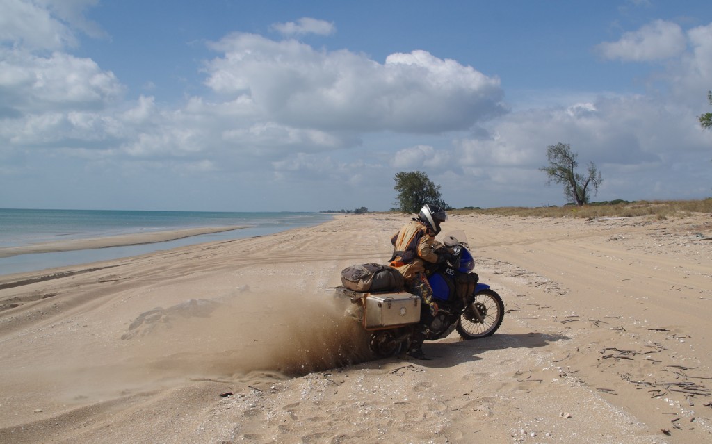
Riding up the beach was easy, just stick to the hard pack sand that the tide gets wet every tide cycle. Only trouble was the tide wasn’t out. In fact it was quite a long way in and there wasn’t much hard pack sand to ride on. As we got further up the beach, perhaps 4km, the water was so far in I actually hit a little patch of it, spraying salt water up over my bike. Salt water is nasty stuck for machines. I had not intended to do this. There was no hard pack left to ride on so I shifted my track up in the softer sand. Out at Cape Melvile I rode in soft sand on the beach although this time I was carrying my full gear. The idea is basically the fast the better, lean back and keep the power on.

I came off the hard pack at about 80 in fourth gear hard on the throttle. I immediately felt the bike bog in and the engine come under heavy load. This is where all that torque from the big 685cc single cylinder comes in. But it wasn’t enough. I shifted to 3rd, at 6,000RPM. Despite the very quick gear change the speed took a dive. Full throttle in third and the bike was still bogging in. I knew I was buggered by this stage but I quickly shifted back to 2nd again at high RPM and full throttle, the bike was now swerving around quite a bit due to the lack of speed to keep the sand hard and very shortly I was back to first and then stopped. There’s no way I am going any further in this without letting down my tires.


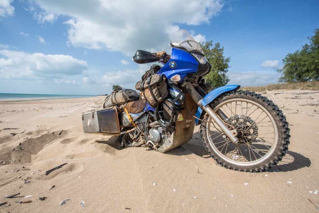
Sinking Mawson

Sinking Mawson


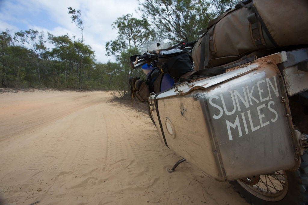
Sunken Mawson

Sunken Mawson


I decided that attempting to continue with lowered tire pressures was unwise. It was time to bail on the beach and return south to where we weathered the heat of the day.

Letting our tires down and pushing each other we managed to get the bikes back to the firmer sand. Its still very hot and getting stuck in sand is hard work. I am drinking as much as I can but I think it is coming out faster than I am putting it in.


Back at our lunch spot we decided to set up camp. We had a nice view of the water and there were fish jumping around the rocks at the headland.


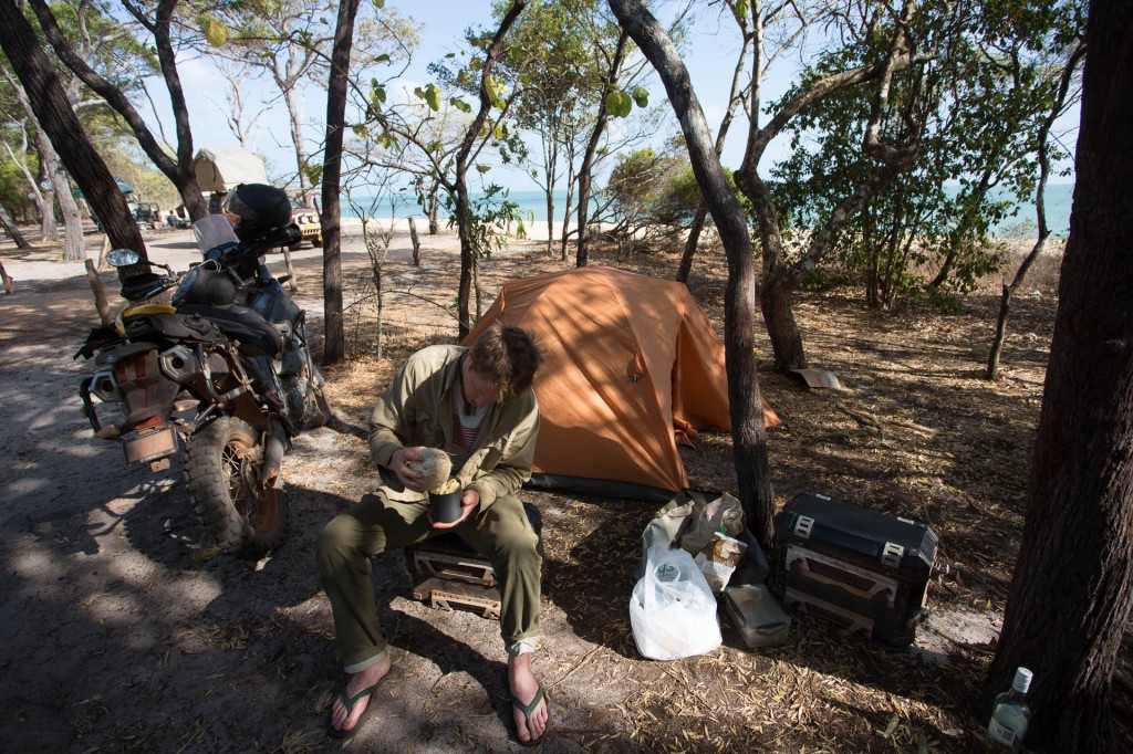
Just south of the spot we pitched the tents.

Just south of the spot we pitched the tents.


I caught some bait and tried fishing to no avail although I was able to catch some crabs for dinner to supplement the pasta Raman had on.

Although the crabs were small they tasted fantastic.


Late in the avo we had a game of Yaniv and almost left it too late for the photograph.


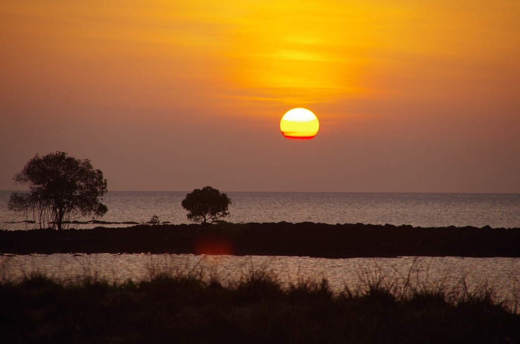
The setting of the sun over the Gulf of Carpentaria, 2nd October, 2013

The setting of the sun over the Gulf of Carpentaria, 2nd October, 2013


Raman's detail of the set

Raman’s detail of the set


There we have it, we witnessed the sun’s rise over the water on the east coast and it’s set over the water on the west coast on the very same day.

Comments { 2 }

Seisia to Ussher point

Last night an Austrian guy, by the name of Christof, on an XR400 pulled in. We invited him to camp with us. He is off to the tip today and we to Ussher point. We have organised to meet up with him the day after tomorrow at Nolan’s Brook for the ride south on the OTT.

Coen (1 of 69)

Packing up camp at Seisia with Chris (centre) relaxing.

Getting back on the bikes this morning was exciting however it soon became clear that over a week off the bikes has taken its toll. The refined balance and sense of space one develops to ride in tight spaces and over challenging terrain appears to fade quickly. After leaving the development road and taking the small track toward Ussher point we were faced with particularly narrow sections of track. I nearly dropped my bike at about forty in a rutted section.


Can you spot it?

Can you spot it?


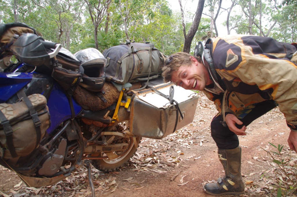
Shortly after the rutted section, with my heart rate just settling I misjudged a protruding log and bam, put a huge dent in my left box.


Gee, I have lost my touch.

Gee, I have lost my touch.

If that log had not been rotten it would have been a very different story. I think I was doing about forty or so when I collected it. The Ussher point track is narrower than the Telegraph track and its 63km each way.

This little section of the track is narrow but a pleasure to ride as one can ride in the centre. Other sections are just as narrow without the possibility to take the centre.

This little section of the track is narrow but a pleasure to ride as one can ride in the centre. Other sections are just as narrow without the possibility to take the centre.

Negotiating rough rocky sections I felt my confidence returning with foot peg steering becoming smoother and my sense of space once again encompassing the exact proportions of my machine.


Raman taking in a lagoon a few km before the point it self.

Raman taking in a lagoon a few km before the point it self.


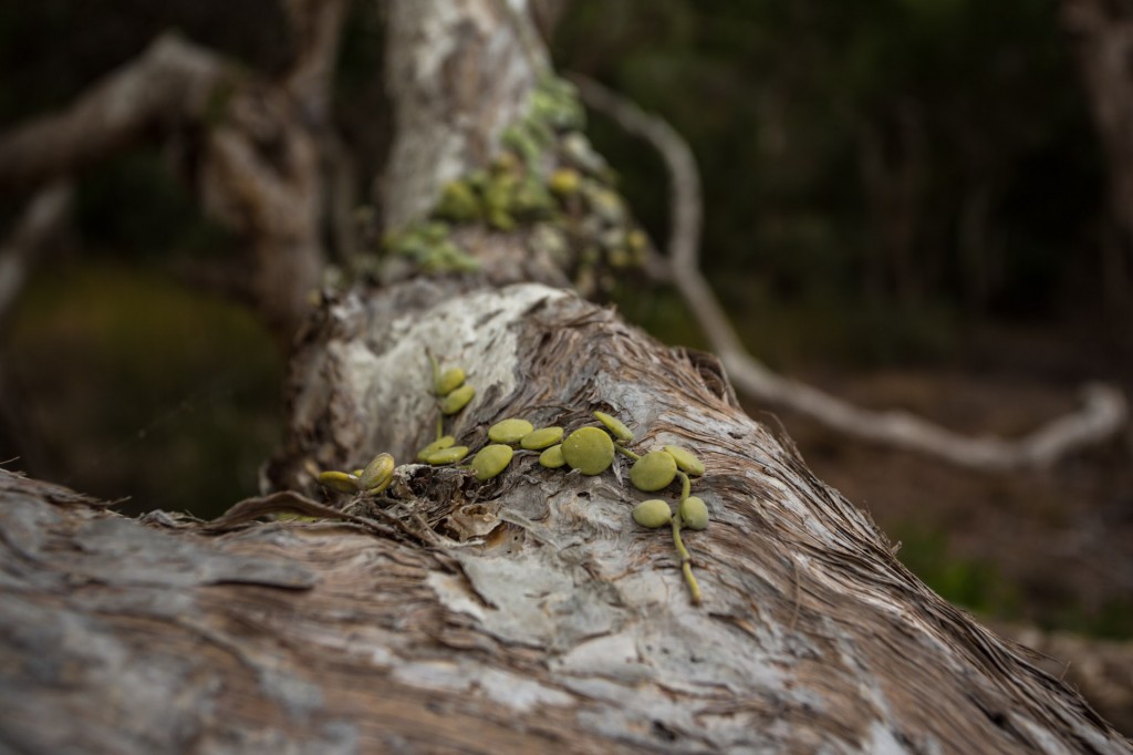
An interesting epiphytic succulent.

An interesting epiphytic succulent.


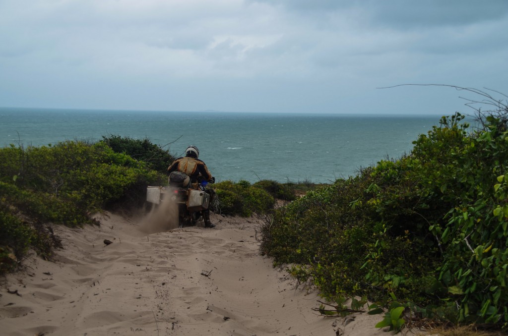
Getting closer to the point we ran into more deep soft sand. Raman and I smelt something odd, oily but different.

Getting closer to the point we ran into more deep soft sand. Raman and I smelt something odd, oily but different.


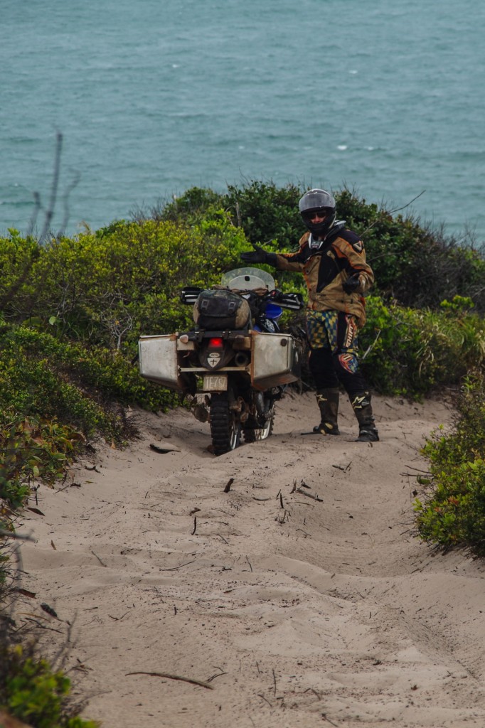
Surprise

Surprise


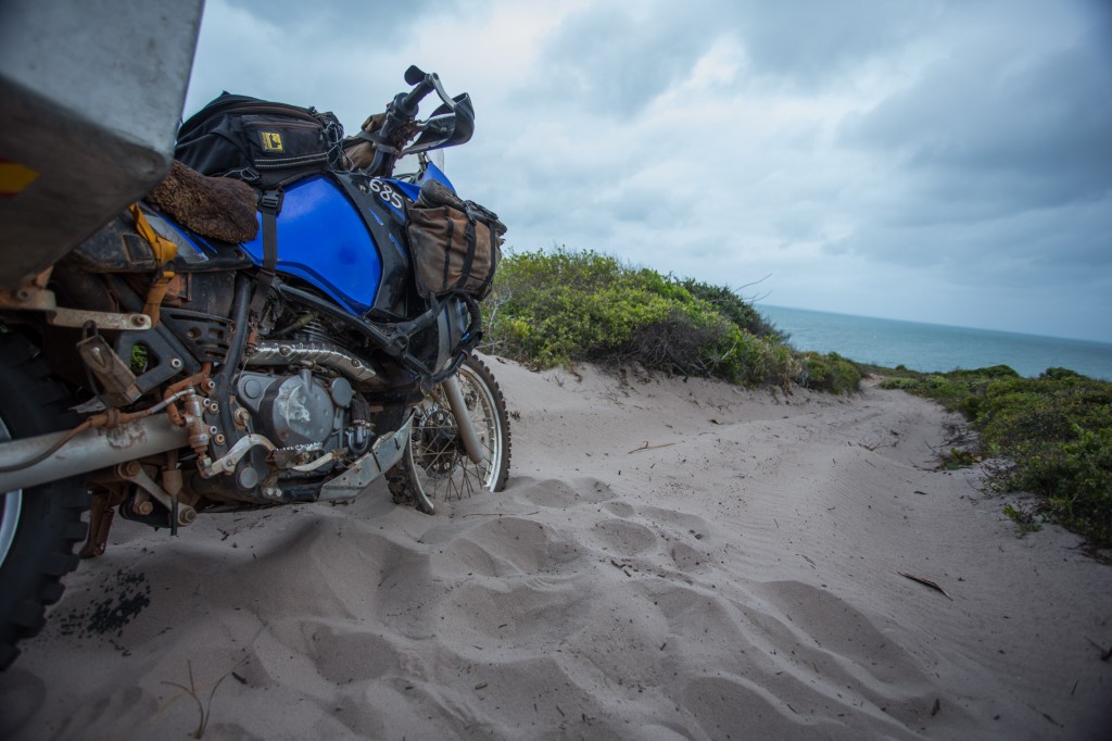
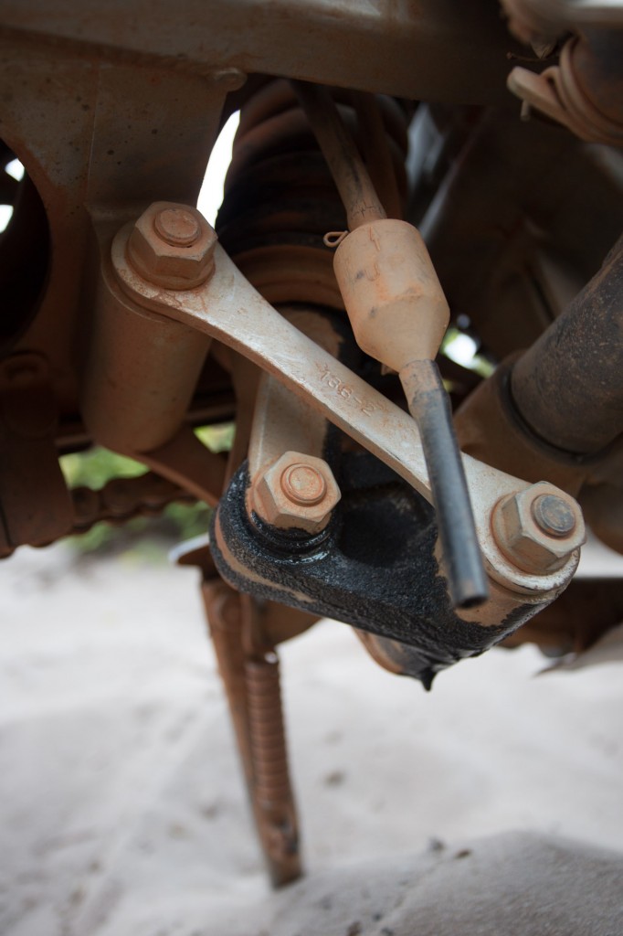
A quick look under the bike revealed a nasty oil leak

A quick look under the bike revealed a nasty oil leak

detail

detail of the leak

Not engine oil though, this was shock oil.

Finding the leak was not from the engine, I decided to continue the short distance to the camp spot.

The realisation that I was not only 63km down a particularly rough and challenging track but I was still very much at the tip of Australia and had a shock absorber that had just decided to give up the ghost. This is going to get interesting! But for now I am at Ussher point and its overcast and blowing hard. I wonder if we will get a sun rise? We are hoping to get the sun rise here at Ussher on the east coast and then ride across to Vrilia on the west coast for the set once again over the water. Lets hope the clouds break for the morning and I get used to my new pogo stick.


Comments { 1 }

dreaming of islands (TI)

TI (1 of 20)

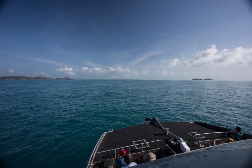
Ferry to Thursday Island from Seisia

Leaving the main land I felt a thread snap.
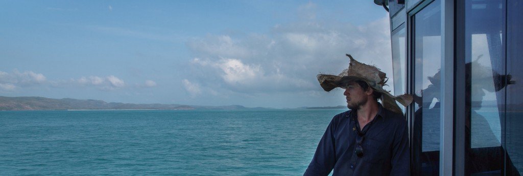
Taking it all in and slowly letting go of the main land.......snap....

Taking it all in and slowly letting go of the main land…….snap….

Pulling my backpack on and leaving behind my wheels and all the regalia of motorcycle riding to board a boat, leaving behind the Australian continent was a major step. That sense of a thread snapping felt like a weight off my shoulders, perhaps a letting go too.

Arriving on Thursday Island (TI) we stopped and met a few locals, chatting for a time, before heading off to meet the Titasey family that we would stay with over the next seven days.

They are friends of a friend of ours who lived there a year or two back. Thanks a stack for the contact Jo.
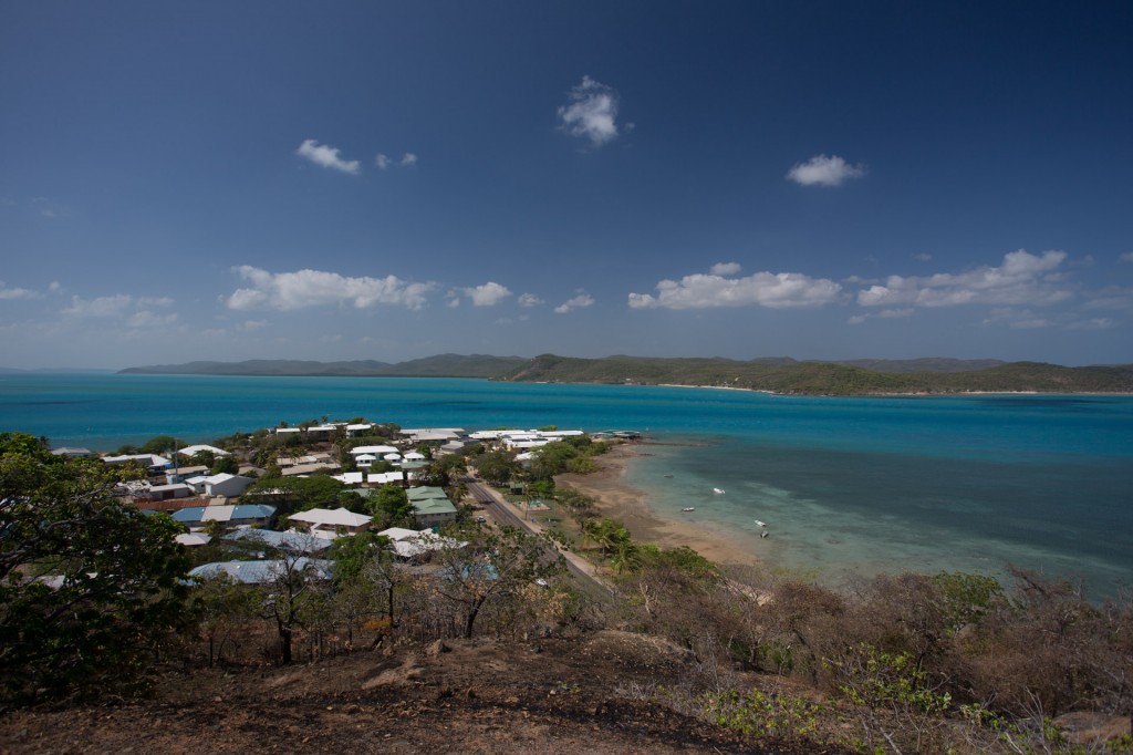
 

TI

TI

Raman has contributed lots of photos to the Sunken Miles story. I will credit them from now on with Raman written in brackets in the caption.
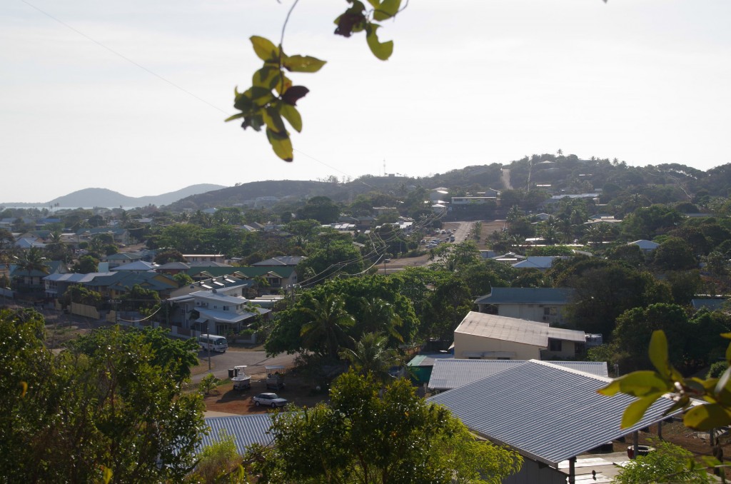
 

TI (Raman)

TI
(Raman)


Much of my time on TI was spent lapping up island life and forgetting about the camera. I have a few images of this incredible week but many of the most memorable times, like diving for cray fish, playing with the kids, exploring and fishing will remain as stories only.
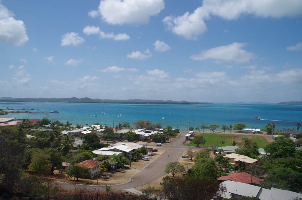
TI (Raman)
TI
(Raman)

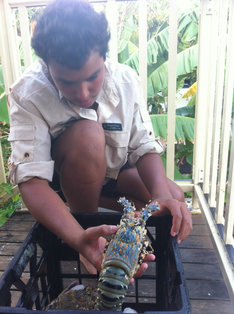
Sutchi with crey fish he speared

Sutchi with cray fish he speared


The cray fish is delicious. What a treat.
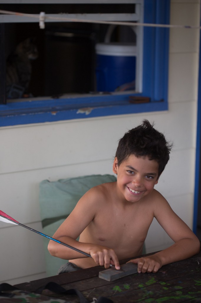
 

Cibbim (9) sharpening arrows before heading off bow hunting on Goode island for pigs

Cibbim (9) sharpening arrows before heading off bow hunting for pigs on Goode island
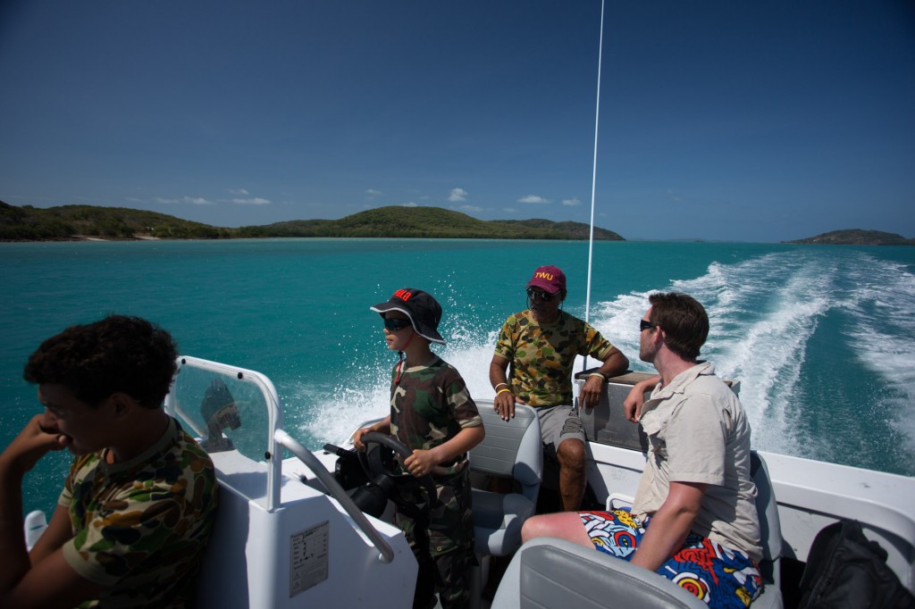
Cibbim at the wheel on our way out to Goode island

Cibbim at the wheel on our way out to Goode island, Tony (back), Dusty (right) and Sutchi left.

Dusty’s partner, Martina, is from TI and a relative of Tony’s. They live in Ballarat of all places and are just up for a wedding.
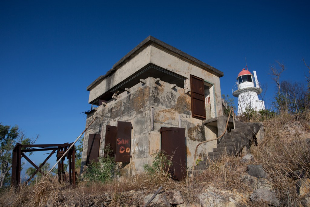
 

World War II bunker on Goode Island.

World War II bunker on Goode Island.

Goode island was actually the first island to be settled by the Brits before TI. It was latter abandoned for a few reasons I believe including the lack of a good deep water port and not much fresh water. However it was used during WWII for its strategic location in the Torres strait.
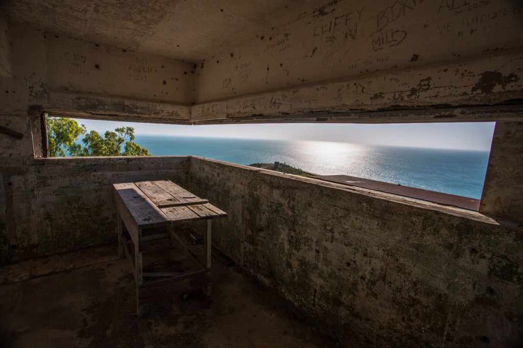
 

Inside the bunker looking northwest
Inside the bunker looking northwest

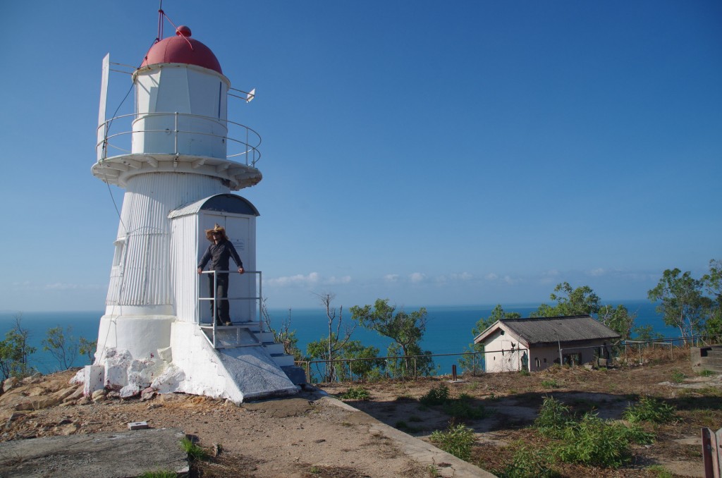
Light house atop Goode (Raman)
Light house atop Goode
(Raman)


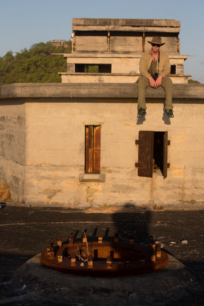
Raman sitting on the main fort lower down the hill where the HMAS Sydney MK 1 ships guns used to be. They have since been taken back. I haven't seen ship guns used on land before.

Raman sitting on the main fort lower down the hill where the HMAS Sydney MK 1 ships guns used to be. They have since been taken back. I haven’t seen ship guns used on land before. The circular pattern of bolts was the rotary mounting plate for the guns while they were here in WWII
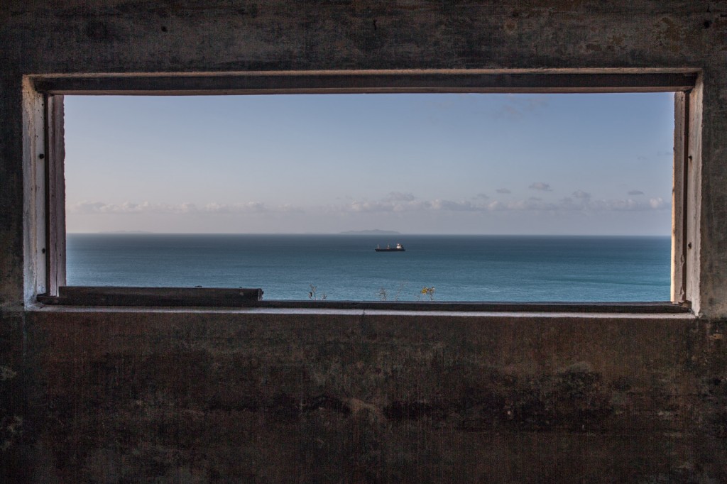
A view of the main deep water shipping channel

A view of the main deep water shipping channel. Much of the Torres strait is very dangerous for large ships to traverse with coral reefs scattered everywhere. This leads to great fish productivity and lots of ship wrecks.
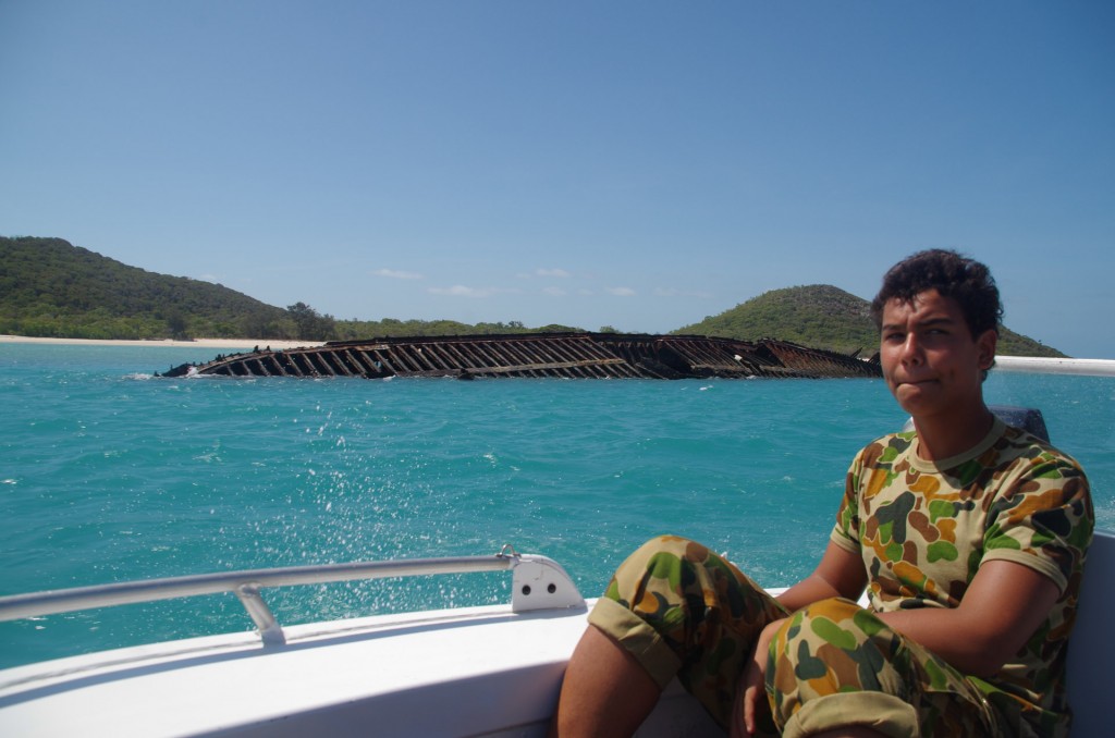
 

Ship wreck off Goode island
Ship wreck off Goode island

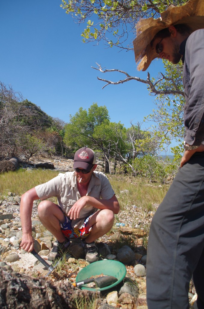
Dusty prospecting on Goode.

Dusty prospecting on Goode.

Dusty is an avid gold prospector and one of the most knowledgeable I have met despite his youth.
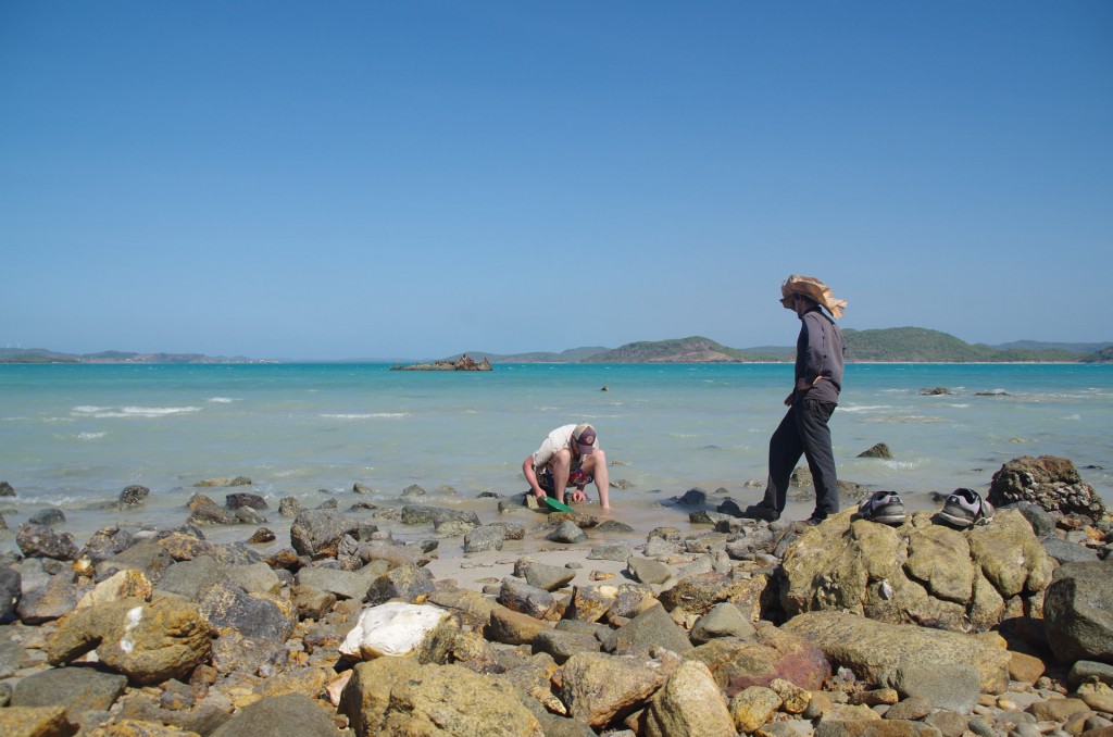
 

Panning out
Panning out


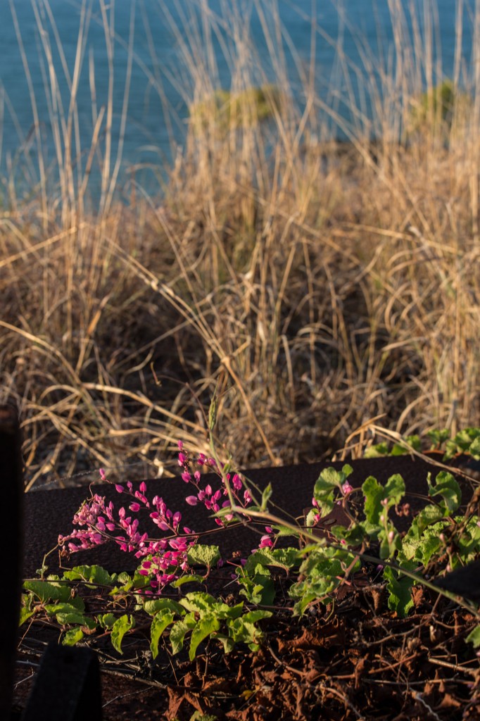
Flowers on Goode

Flowers on Goode


Going out fishing with Tony (Raman)
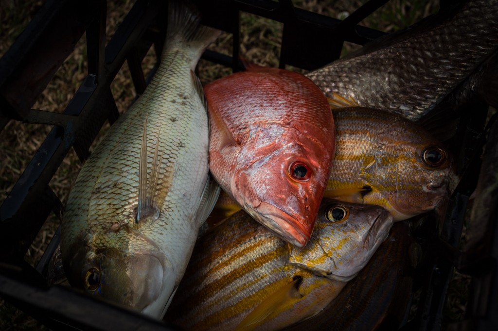
Going out fishing with Tony
(Raman)

The catch
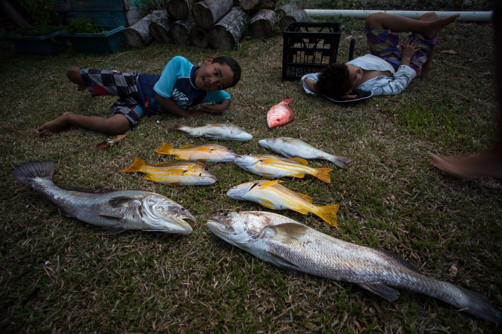
The catch


Another angle of the catch

Another angle of the catch


I’ll let the images of what we caught spark your imagination as to the experience fishing 🙂
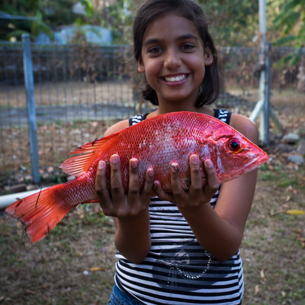
 

Sefwan with Raman first fish

Seffwan with Raman’s first fish

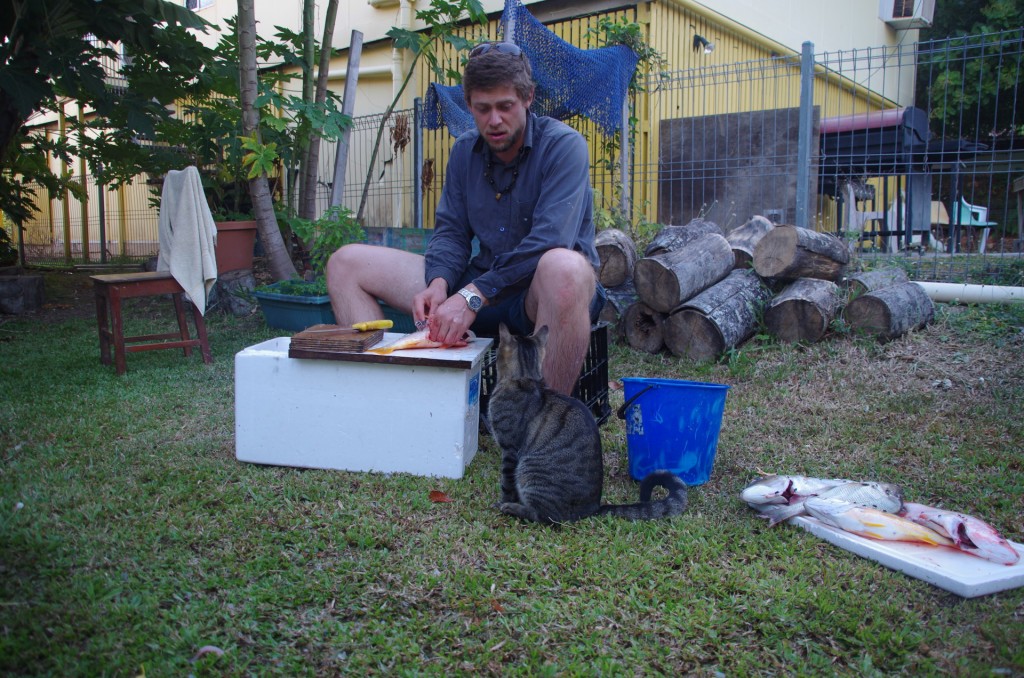
Cleaning the fish later on. Now cat, I have my eye on you. This is my fish.

Cleaning the fish later on. Now cat, I have my eye on you. This is my fish.

The cat was very well behaved and I did give it some scraps, which it gratefully devoured.
 

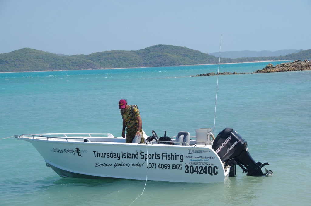
If you are heading to TI and want an amazing experience fishing with a lovely islander with a great sense of humour, Tony's is your man.

If you are heading to TI and want an amazing experience fishing with a lovely islander with a great sense of humour, Tony is your man.


We had such an amazing time out fishing with Tony. Thanks so much Tony! I can still feel the rush of the big carnivorous sea fish fighting back and forth as I struggled to wind in my rod and finally hauling aboard a truly beautiful fish that I would savour every morsel of later that evening.
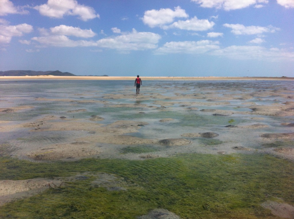


Sutchi at low tide on the mud flats to the west of Friday island looking for shovel nose sharks

Sutchi at low tide on the mud flats to the west of Friday island looking for shovel nose sharks


One of the best experiences was running though the western mud flats (yes though, not across) of Friday island with a hand made spear chasing shovel nose sharks. My spearing skills are not as…sharp… as Sutchi’s. What an experience though, wow. Sutchi however is very good!
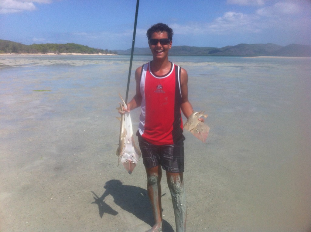
He got five
He got five

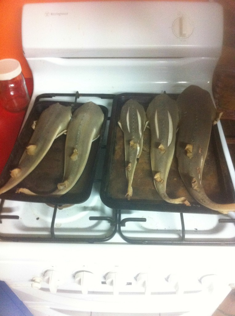
Baked later that evening
Baked later that evening


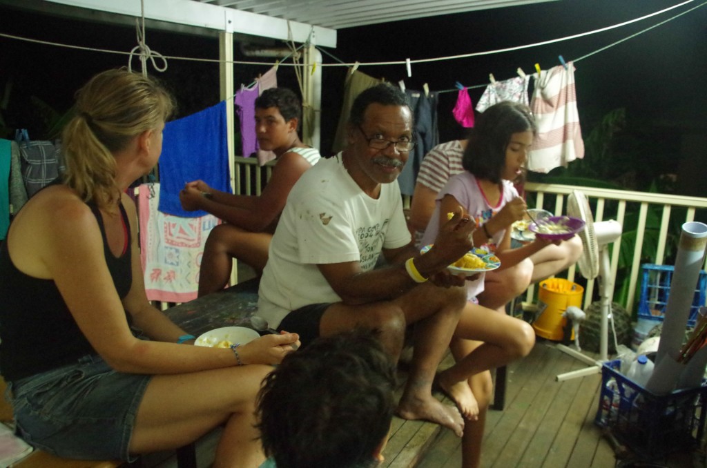
Hanging out one evening after eating my fill of fish

Eating a fantastic meal on the back porch (more air flow as it is very warm up here at around 24 at night)  based on the fishing earlier that day (Raman)


It may seem like we did take lots of photos and I guess there are more than I thought. Still there are lots of great times that are missed and will remain as memories like the snorkelling and diving for cray fish. There’s another thing I am very much a beginner at. I didn’t get a one but it was a fantastic time never the less. Sutchi and Dusty made up for my shortcomings and provided nine crays for dinner. Eating from the sea here is quite literally luxurious. The fish is delicious and then you eat the cray…


Still the time has come for us to return to the main land, don our wheels and begin our journey south. What exactly the journey south will look like I am unsure but I feel it will likely be a quite different from the 14,000km adventure that delivered us the the northernmost tip of our continent.


Before leaving TI, we headed up the hill to the WWII Green Hill Fort for a little “tourism”. Most people who visit TI do a day trip over from Seisia and the fort is most of what they see.
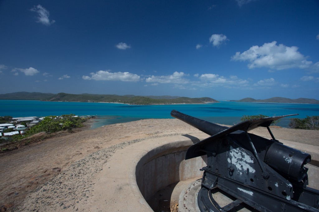
Green Hill Fort
Green Hill Fort


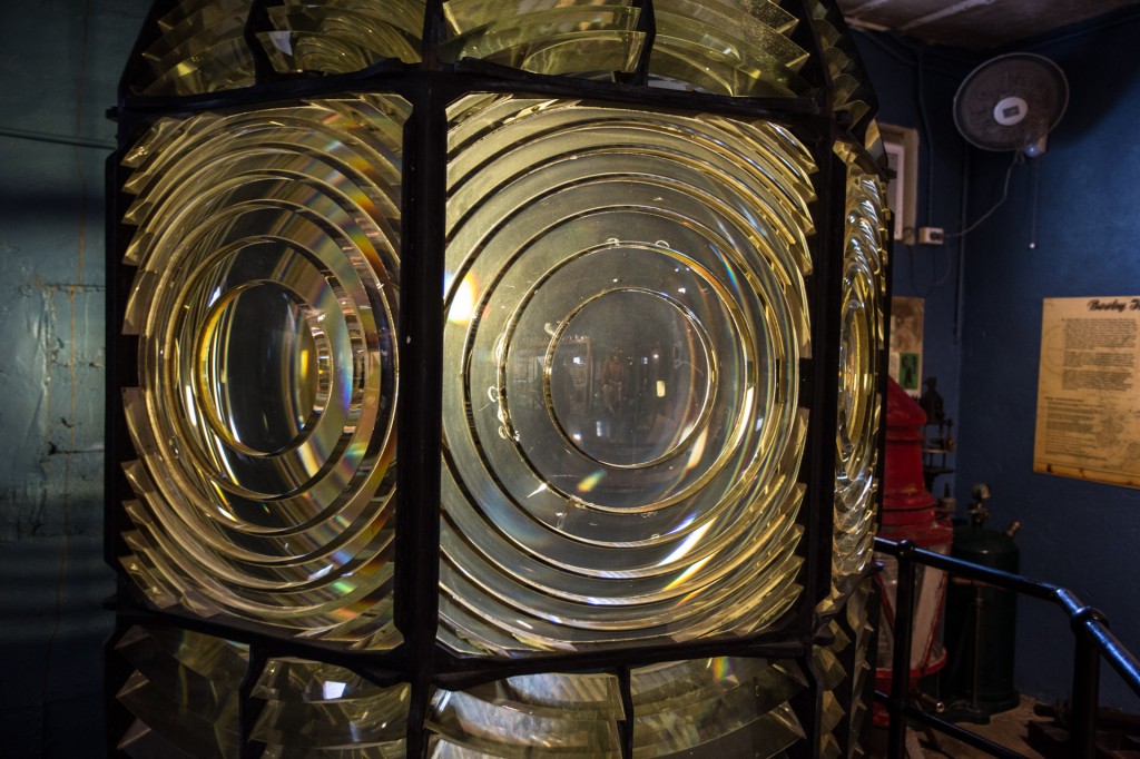
A Fresnel lens from a light house inside the museum at Green Hill
A Fresnel lens from a light house inside the museum at Green Hill

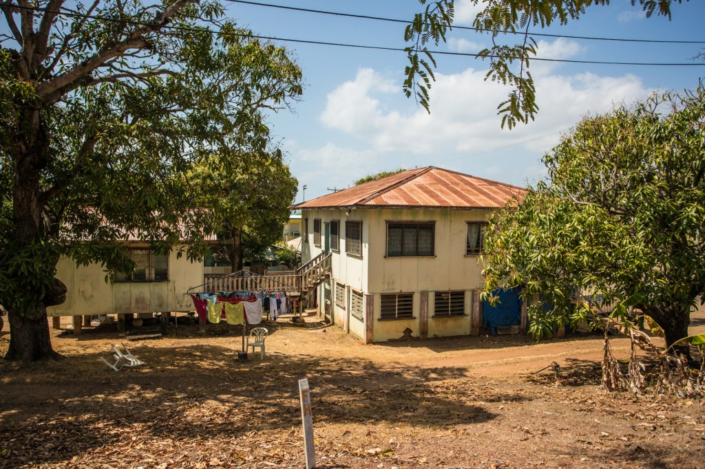
One of the older houses just up from the Titasey residence
One of the older houses just up from the Titasey residence


The TI harbour as we left this amazing little island.

The TI harbour as we left this amazing little island.


Watching TI disappear into the distance as we return to the mainland

Watching TI disappear into the distance as we return to the mainland


Good bye and thank you so very much to Catherine and Tony Titasey. You have given us so very much. One day we hope to see you down south. You are always welcome. We would love to show you our home, take you hunting and walking in the forest and share with you our world.

Catherine, good luck with your book, My Island Homocide.   I wish you the best writing the sequel.


Back on the mainland, Seisia

Back on the mainland, Seisia


And so I close this chapter…dreaming of islands….

The door to the second half of the Sunken Miles adventure is open in front of us. From here there is only one way, south.
Comments { 7 }

Punsand Bay

We are camped just south of the tip on the west side of the Peninsula at Punsand Bay for a few days. The thirty or so coconuts we got last night are great. There is always another one there to drink or eat. I guess we might find the limits at some point as they are apparently a diarrhetic. Not that I have ever been stopped by other peoples inability to stomach large quantities of wild forage 🙂

Raman topping off breakfast with a little coconut water

Raman topping off breakfast with a little coconut water at Punsand Bay

We keep running into people we met on the OTT and Weipa. Not surprising really.

I have spent a little time developing a new air intake duct for Mawson to avoid drawing dust. The last attempt was effective but I was able to see ways to improve it when I pulled the seat off and found dust all through the filter foam I have used to pack up the spaces. This time I have used rags in the hope they will allow almost no air to be drawn from the wheel and it doing so increase the amount drawn from the only open space which terminates in the side cover under the seat. I have also made up a post filter to fit inside the main air filter in the hope that I can see if any dust is getting past the primary filter.

My test ride proved the air restriction was too great with the post filter being 25mm thick. I halved the thickness and it now runs but I suspect the air/fuel ratio is pretty rich. I will leave the standard KLR jetting unless I have to changed it.

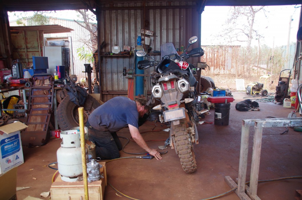
Raman headed into town (Bamaga) to get his rack welding up. While we were in Coen he had to replace a few of the quick release fixtures that hold his luggage racks on that had fallen out. We aren’t sure if the bolts that he used placed more stress on the rest of the rack.

Getting racks welded

Getting racks welded

Comments { 0 }

The Northernmost point of the Australian Continent

Raman said to me this morning, “you realise it is likely we will reach the tip of our continent today”. The thought is hard to believe. Will we finally reach the top of Australia after all these months?


Riding on this morning we quickly reached the Jardine river, the biggest of the rivers on the OTT. This crossing is beyond our scope. There is no way we will be able to cross this river.

TheTip (86 of 93)

TheTip (87 of 93)


We have known this and, like many others, we must take a small side track back out to the Peninsula Development Road (PDR) and head around to the Jardine River Ferry. The ferry is $134 return for the two of us. A hefty price for a short ferry trip. Its about one quarter of the crossing of the Daintree river which cost $19 for a return for the two of us. But there you go, $134 it is, considering we can’t cross the river any other way.


The PDR is wide open, dusty, sandy and hard to enjoy compared to the smaller tracks like the OTT.


Reaching Bamaga was a mile stone, putting us within a stone’s throw of the tip. After picking up supplies we headed out for the last few miles to the tip of this great continent.

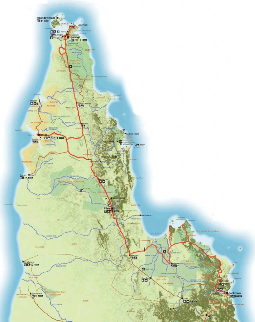
cape-york-map-large

A map of our journey since Cooktown

With a little scouting around and a few distant words from Rob Turton I found a place to get our bikes in sight of the water.


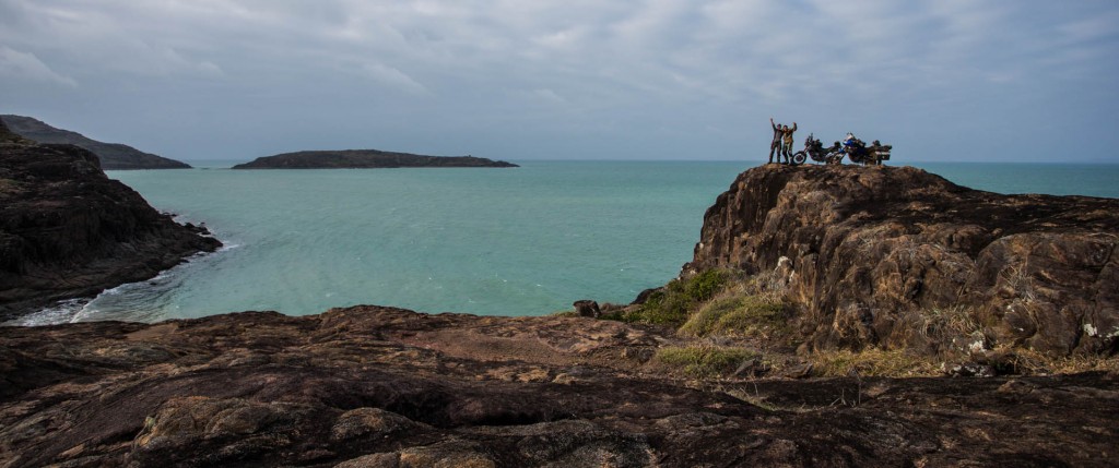
And finally here we are.  Sunken Miles perched above the ocean, Cape York.

The end of the road (1 of 1)

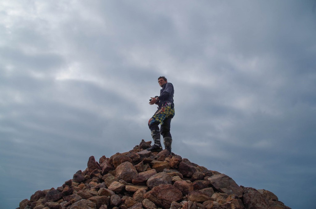
The steeds and their riders perched above the water at the end of the road on their journey to the top of the Australian continent. 13,850km over 132 days.


TheTip (90 of 93)

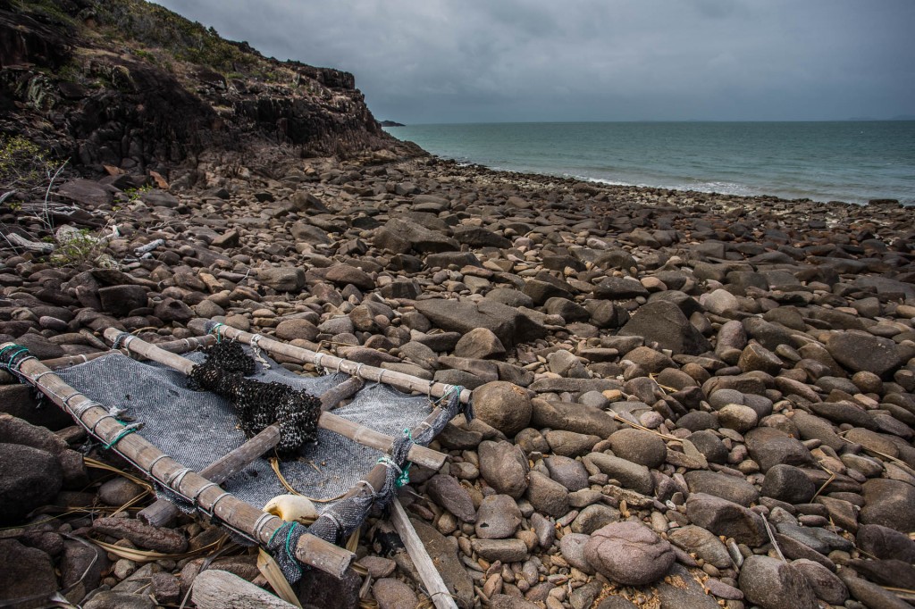
Someones attempt at a raft washed up on the rocks. Perhaps they were trying to get to one of the islands…


Taking it all in

Taking it all in


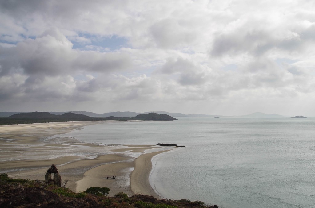
Looking South West

Looking South West

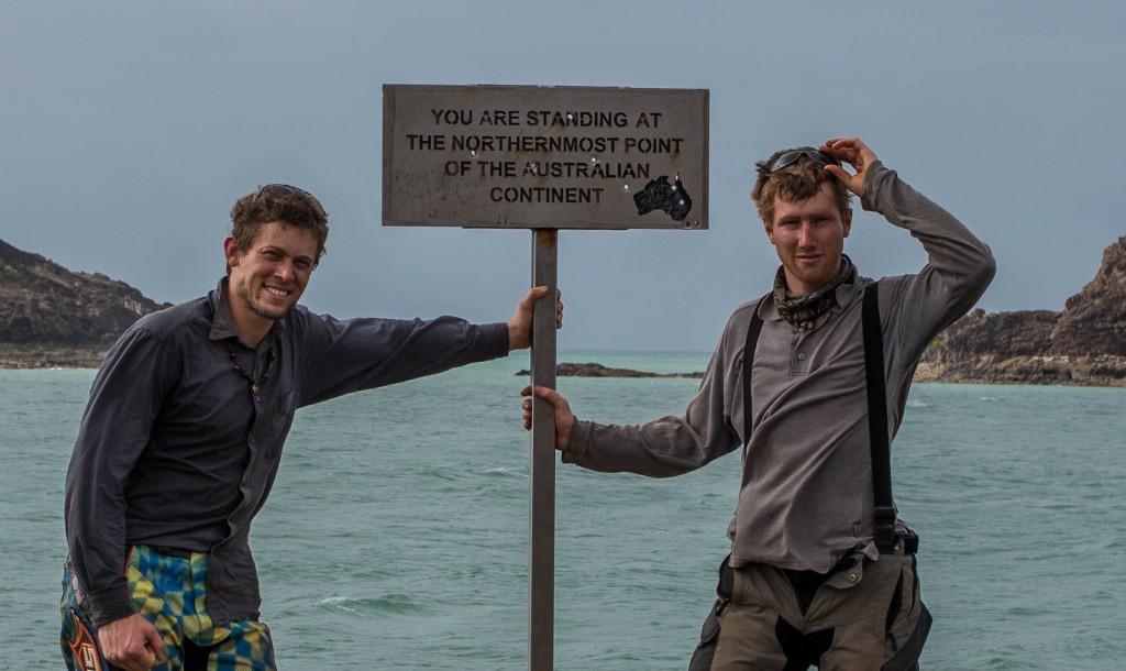
The last few hundred meters over the rocky peninsula and we have the water lapping at our feet. This is it. The absolute northernmost point of the Australian Continent.

That bloody sign!

That bloody sign!


I sat for a good long while out there. Thinking about our journey.


Eventually I turned and headed south.


Just back from the tip there is an old abandoned resort and after a little scouting we found a few palm trees. In short order we climbed a few very tall ones and had over twenty coconuts. It took a lot more effort than the words convey! The tree was a good 8-9m high and it took all I had in me to reach the top. I was bruised and shaking when I got into the canopy. I watched the sun set from there while I recovered and then let the nuts fall to the ground after cutting them, free with my leatherman.

The shimmy down was easy.


Rum and coconuts on the beach tonight. I have been looking forward to this for a long while. Last time was in Cuba in 07.

Comments { 3 }

Twin Falls to Nowlan’s Brook

Lots of tough and enjoyable riding and yet very few miles.

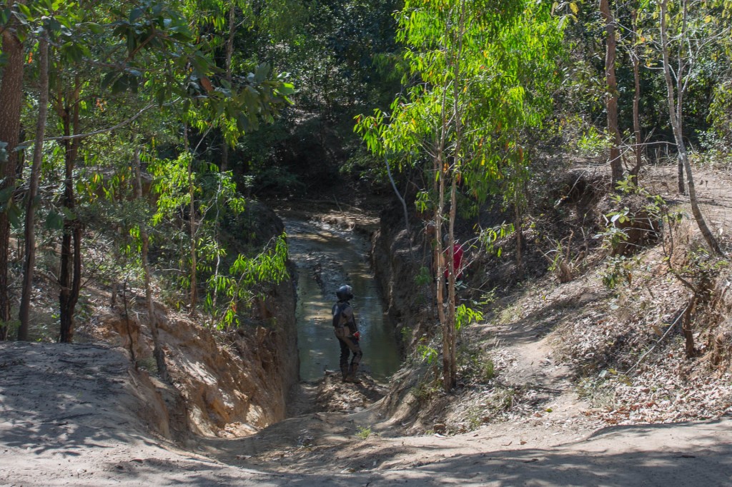
Several creek crossings presented challenges.

TheTip (76 of 93)

I wonder if this log bridge has been properly engineered? Looks borderline to me, especially for a big 4wd towing a big trailer! Even on a bike its certainly one to take care crossing. Gives you a different perspective on what is safe to cross. It feels like there are different standards up here. Down south this just wouldn’t be allowed. The track would be block and road closed signs every where or at best an “enter at own risk” sign at every bend.


TheTip (77 of 93)

One of the better sections of the OTT. A little further up I was able to see out across the vegetation while standing on the pegs and riding. Reminded me a little of some of the heathy sections of the Southern Explorer in Tassie.


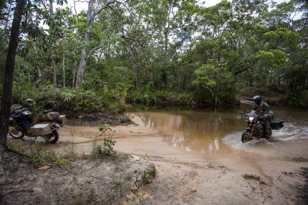
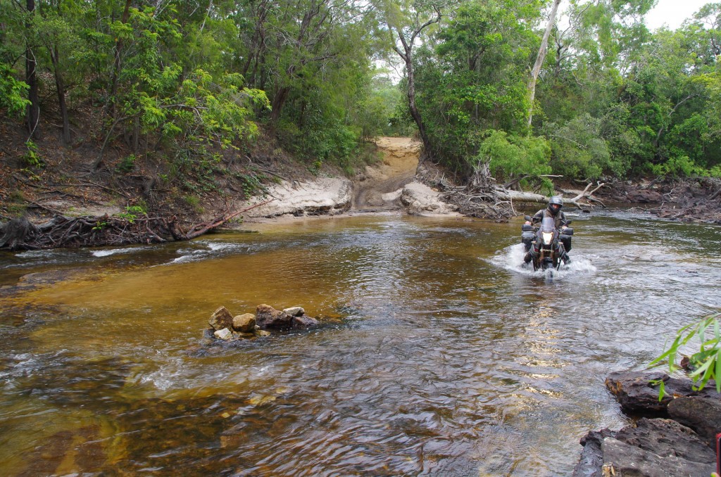
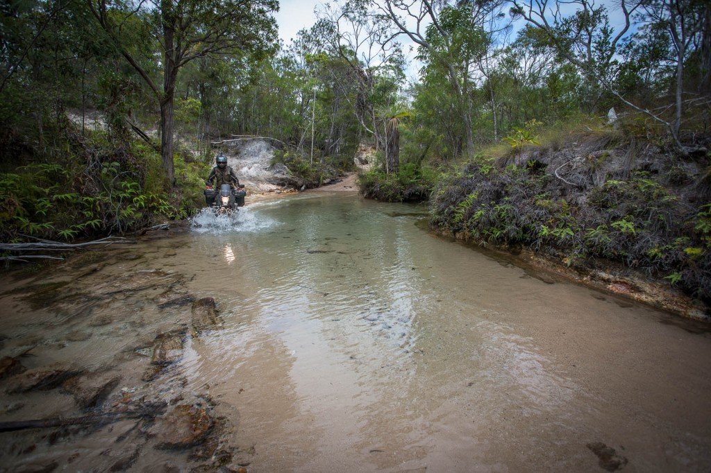
After having got through this benign looking crossing.

After having got through this benign looking crossing.

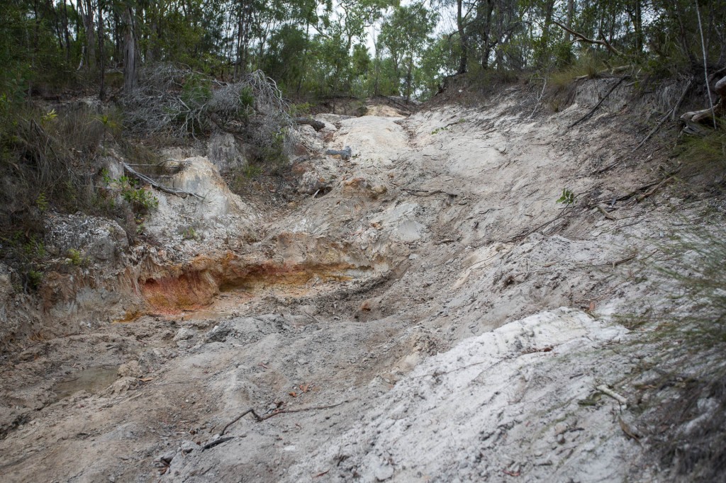
In actual fact this crossing was as close as I have come to Sunken Miles yet. I didn’t walk the crossing first. There was the big mistake. I could see from the bank that there was a good crossing point on the far left hand side and I headed in. The problem was there was a steep side slope and the back wheel slipped sideways into a big hole and when I powered on a bit it I only sank further. I turned the bike off and got off the bike to survey the situation. I have no issue getting wet my self. I just don’t want water in the engine or the luggage. The air intake was still above the water but the water was less than 50mm below the back of the panniers and the exhaust was under. Hmmm, time to use that brace bar for the boxes that was designed for lifting the bike from  as well to lift it out of the hole. I managed to get it out of the hole and then Raman and I pushed it a little way forward before I started it and got it to where I took the above shot. It actually started raining a tiny bit at this point too. What fantastic weather we have had for this leg of the journey. The little bit of rain didn’t last long but the overcast weather is sparing us from the usual sweltering conditions one would have to endure in this country at this time of year.


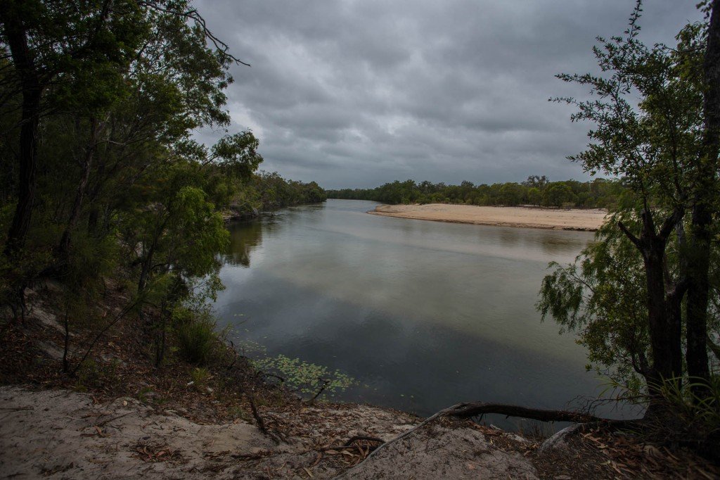
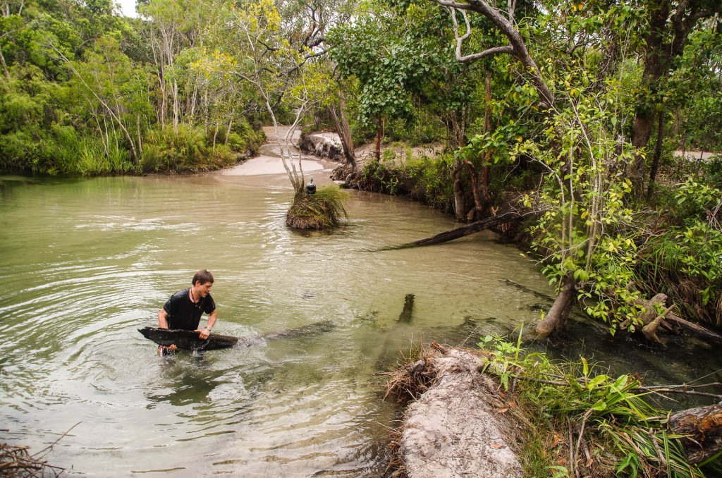
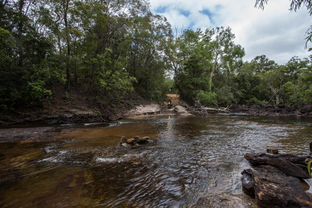
Rearranging logs in the water at Nowlan's Brook before attempting the crossing.

Rearranging logs in the water at Nowlan’s Brook before attempting the crossing.

There is a motorcycle bridge made of three logs but it looked a lot more risky than this route for us. We didn’t  get a picture but basically one of the logs had a gap between it and the next log that was big enough for a wheel to fit between so there really was only one option where to put the wheels which left nothing to put a foot on  one side and only a small log very close in on the other side. This in combination with the fact that there was a tree at either end of the logs so the handlebars wouldn’t fit past so one couldn’t get going quickly. So all of that challenge is perched one metre above a two metre deep pool with nearly one metre high banks to the pool in the creek. If you fell in that was it for the bike. It would take a hell of a lot of effort and time to get it out!

With this in mind we looked for alternatives.

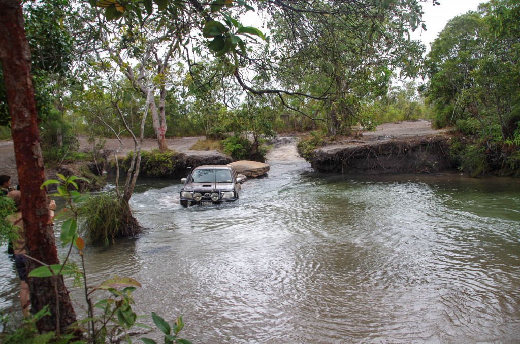
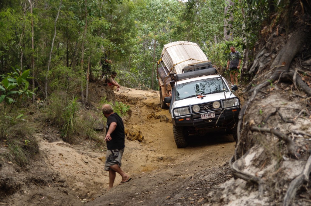
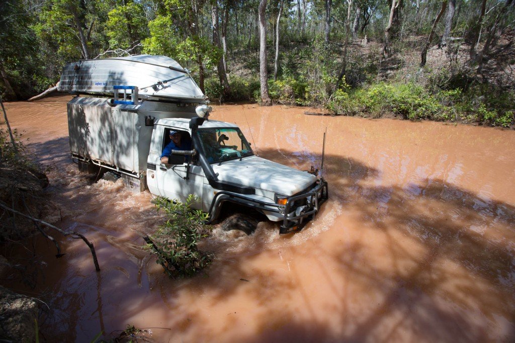
One of only three  4wd crossing Nowlan's Brook while we were there.

One of only three 4wd crossing Nowlan’s Brook while we were there.


Rather than pushing on, we decided to camp here at Nowlan’s Brook. The water is delightful and,  there are no crocs to worry about.

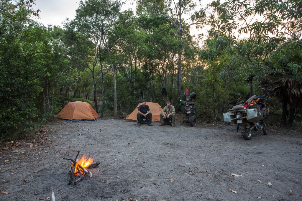
Nowlan's Brook camp

Nowlan’s Brook camp

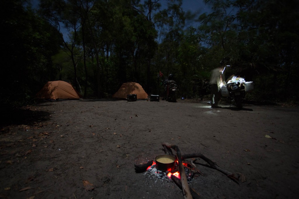
A half moon lit everything. Rice cooking on the little fire in the fore ground and Raman preparing dinner on slightly sloping table that my side boxes form.

A half moon lit everything. Rice cooking on the little fire in the fore ground and Raman preparing dinner on slightly sloping table that my side boxes form.


Comments { 6 }

Dulhunty Creek to Twin Falls

A short day today. Challenging riding but short distances.

Before leaving Dulhunty a troop of guys on a motorcycle tour came through all on DRz400s.

TheTip (60 of 93)

One of the more enthusiastic riders

TheTip (61 of 93)

Some of the slower riders are the rear of the pack


Raman crossing Dulhunty

Raman crossing Dulhunty


Approaching Gunshot creek and the infamous "Gunshot" which is to the right and the "chicken track" is in front of me. Neither look appealing! There is now another easier chicken track. I have nothing to prove. The easy way around it is for me.

Approaching Gunshot creek and the infamous “Gunshot” which is to the right and the “chicken track” is in front of me. Neither look appealing! There is now another easier chicken track. I have nothing to prove. The easy way around it is for me.


Crossing Gunshot creek.

Crossing Gunshot creek.


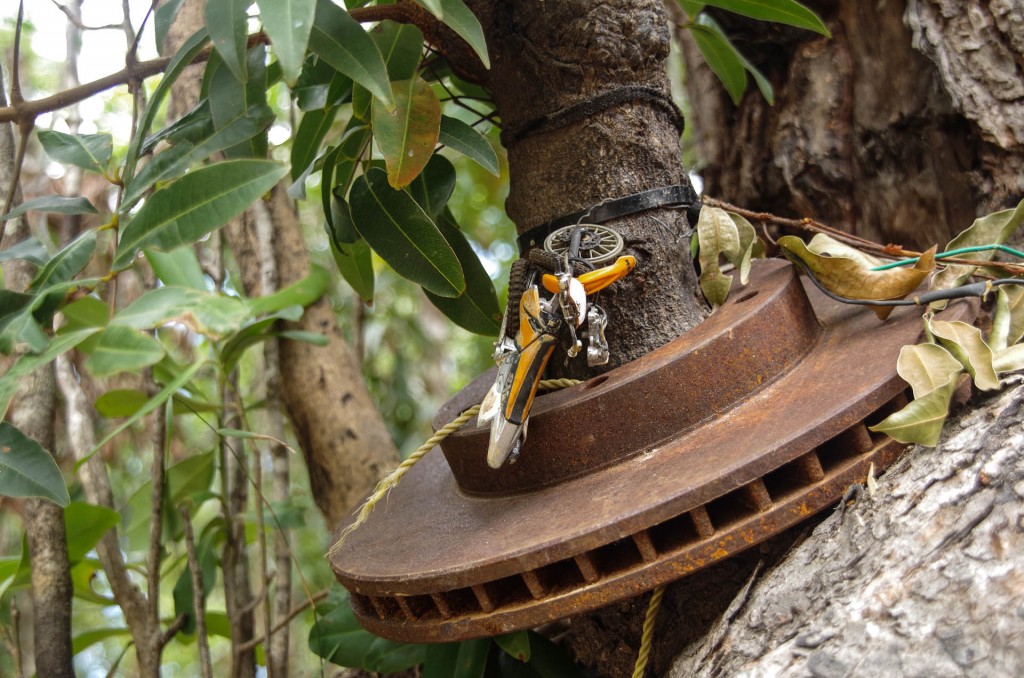
Parts of four wheel drives are hanging from the trees everywhere here.

Parts of four wheel drives are hanging from the trees everywhere here.

TheTip (63 of 93)

TheTip (65 of 93)

Latches ripped off my left side box from riding next to the bushes. One has to ride in one or the other wheel rut. I will stick to the left now to conserve the latches on the right side box

TheTip (64 of 93)


 One of the four wheel drives in the queue crossing before us

One of the four wheel drives in the queue crossing before us

Cockatoo Creek

Cockatoo Creek

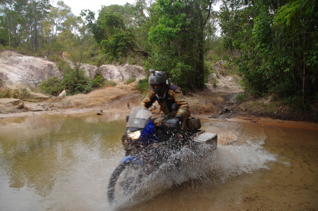
Raman keeping to the shallower right hand side

Raman keeping to the shallower right hand side

TheTip (69 of 93)

Fruitbat Falls


Gee its been a while since I had a massage. The tumbling water is pretty darn good.

Gee its been a while since I had a massage. The tumbling water is pretty darn good.

TheTip (67 of 93)

Crystal clear waters above Fruitbat Falls

TheTip (68 of 93)

We had lunch at Fruit bat Falls.


Heading toward Elliot and Twin Falls from Fruitbat Falls

Heading toward Elliot and Twin Falls from Fruitbat Falls

Ready to cross the next stream

Ready to cross the next stream


TheTip (73 of 93)

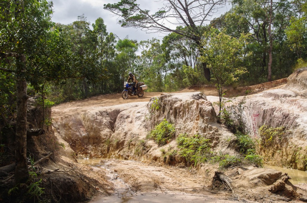
One of the many chewed up and subsequently abandoned entrances to the crossing

TheTip (71 of 93)

TheTip (74 of 93)


A short distance on and we stopped at Elliot and Twin Falls although.

Spent the afternoon swimming in this amazing water, jumping from the falls and in every way possible lapping up this oasis in a vast tough land. I understand these streams are artesian spring fed. Perhaps the most amazing thing was discovering the source of the artesian water that feeds these year round streams. Apparently the water is Asian! Yes, it comes under the ocean from, presumably, the New Guinea high lands.
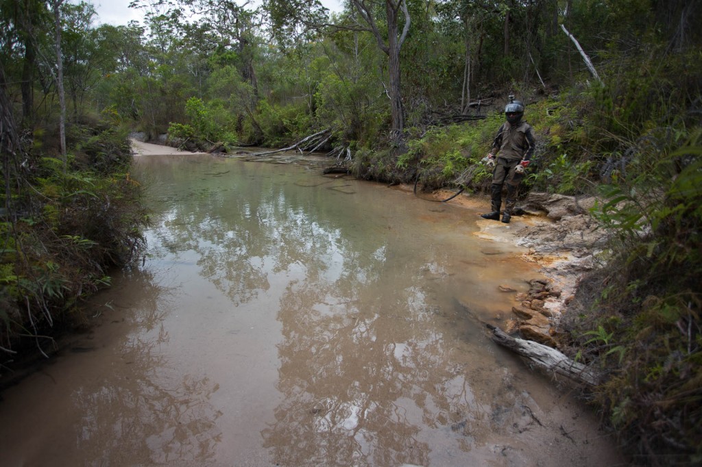
 

The camp ground was pretty average and we heard there was a better bush camp just down the track. Not 5 minutes down the track we came across many little spots along the a crystal clear stream.

Comments { 2 }

Weipa to Dulhunty Creek

I had parts sent to Weipa over a week ago that I ordered way back in Rockhampton well over a month back. They finally came in two weeks ago. While in Mossman I had the parts sent ahead to Weipa instead of Cairns to make sure they arrived before I did. As it turns out a week and a half wasn’t enough for the parts to get to Weipa. I will have to have the parts sent south again once they do finally arrive


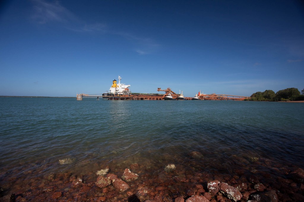
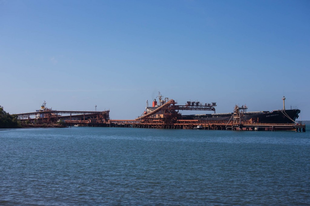
Weipa is a mining town based around the extraction of Bauxite, the ore that Aluminium is refined from.


The deep water loading terminal for the Bauxite ships

The deep water loading terminal for the Bauxite ships


The ride to Bramwell Junction went much quicker than yesterday’s ride to Weipa.

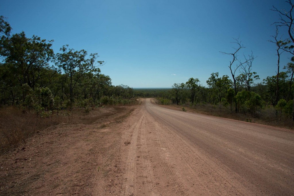
The road through Batavia Downs that cuts across to the PDR

The road through Batavia Downs that cuts across to the PDR


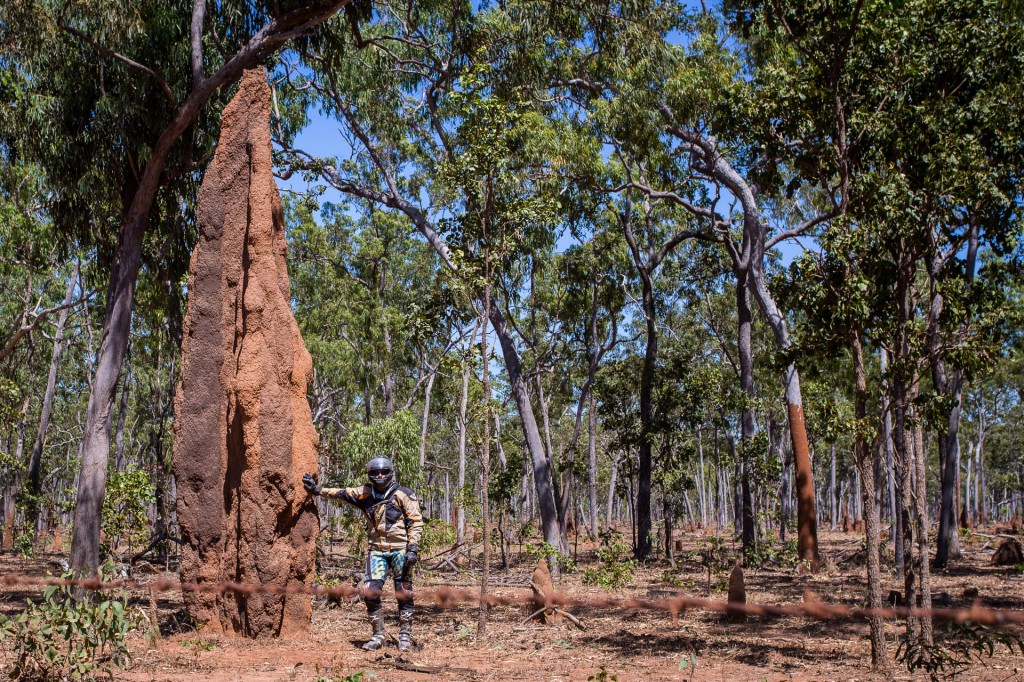
That is the largest termite mound I have ever seen!

That is the largest termite mound I have ever seen!


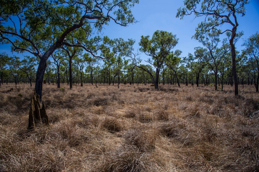
The open spaced woodland beside the PDR between Batavia and Bramwell Downs.

The open spaced woodland beside the PDR between Batavia and Bramwell Downs.


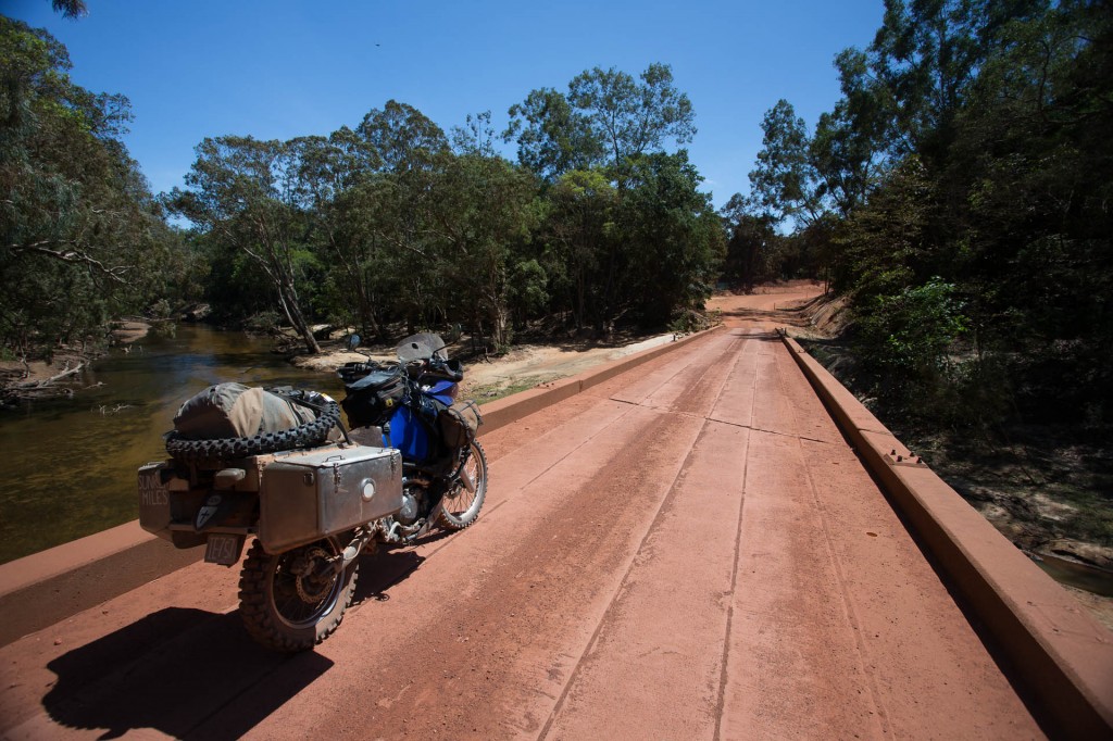
The Wenlock River near the Moreton Telegraph Station

The Wenlock River near the Moreton Telegraph Station with the new Pirelli Scorpion MX Extra X tyre I bought in Weipa


Changing my front tyre and servicing my front brake calliper at Bramwell Junction

Changing my front tyre and servicing my front brake calliper at Bramwell Junction

We soon fuelled up for the old Overland Telegraph Track (OTT). The more aggressive front tyre that I bought yesterday in Weipa is the most off road oriented tyre I have ever used. A motorcross tyre actually.


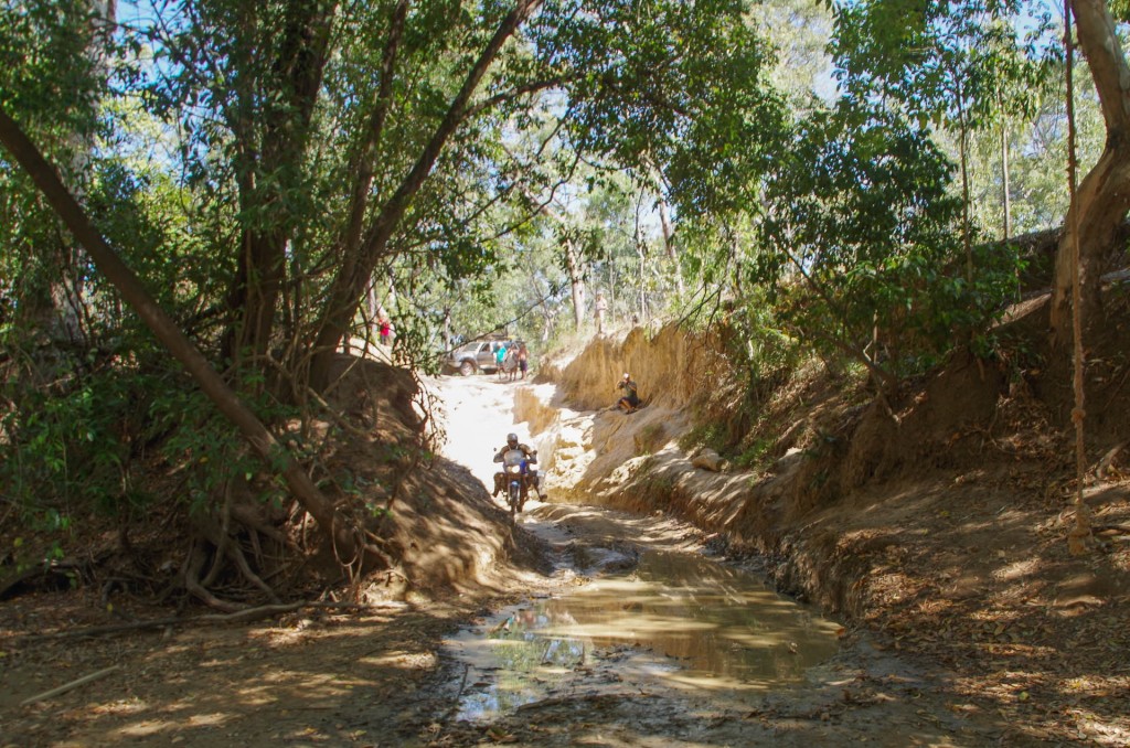
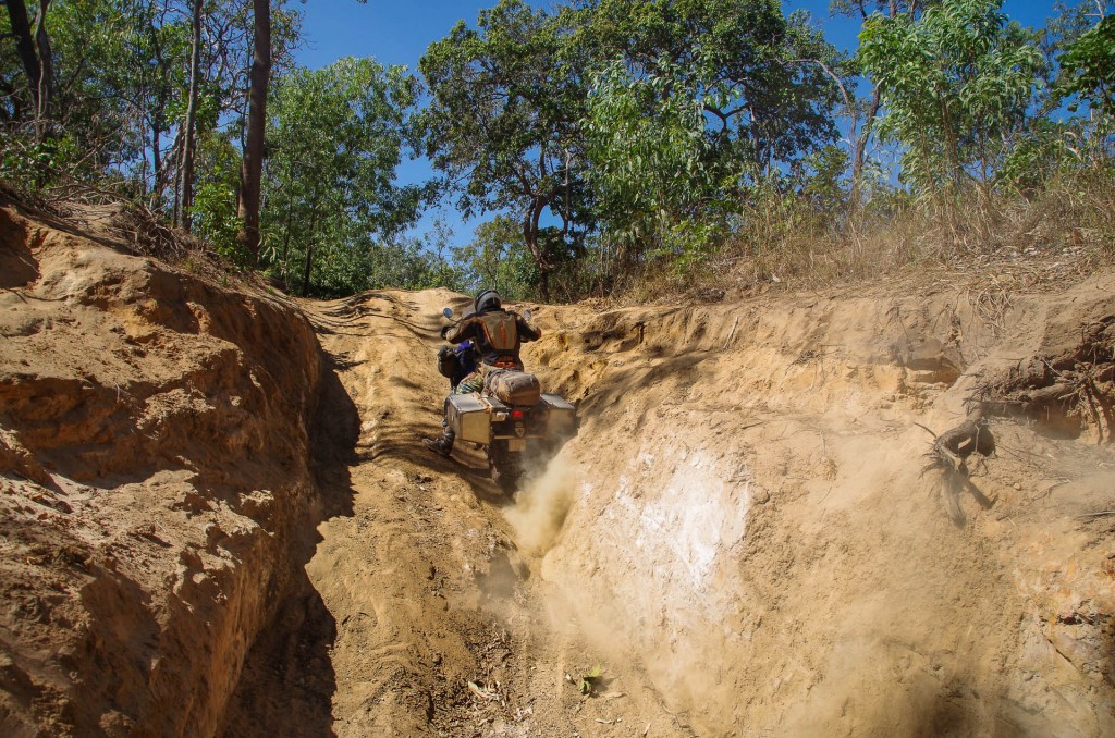
The first crossing on the OTT sorts the hay from the chaff.

The first crossing on the OTT sorts the hay from the chaff. Palm Creek entry #2


CapetipR (10 of 26)

Down the steep entry and into the mud in the bottom of Palm Creek entry #1 with several onlookers including Ro and We of the ROWEFIDIBUS (https://www.rowefidibus.ch) who have travelled from Switzerland overland and are now travelling through Australia. We met them in Coen and now here waiting to watch others go through this crazy crossing.

CapetipR (11 of 26)

After bouncing off the wall with my panniers (oops, didn’t realise I was quite that wide) and dropping Mawson, I have another crack. The 14 tooth counter sprocket (lower overall gearing) makes a huge difference.


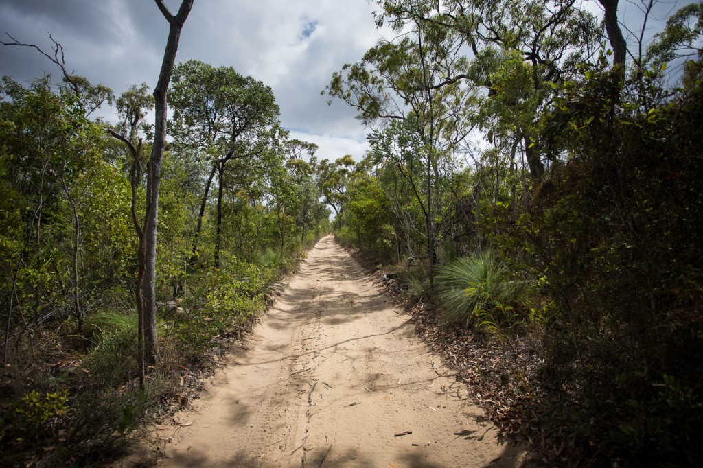
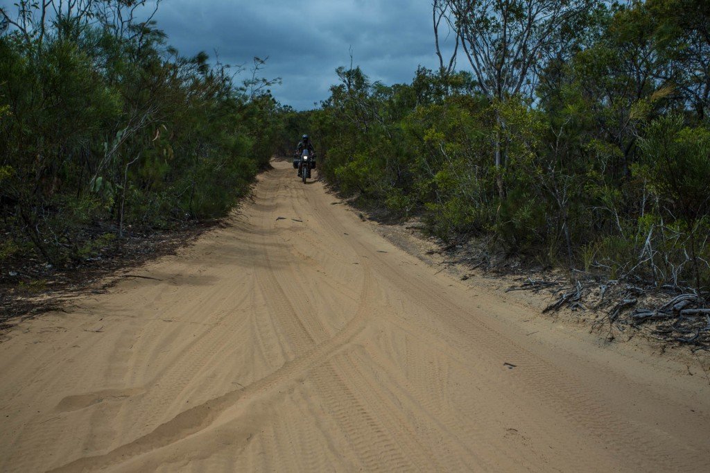
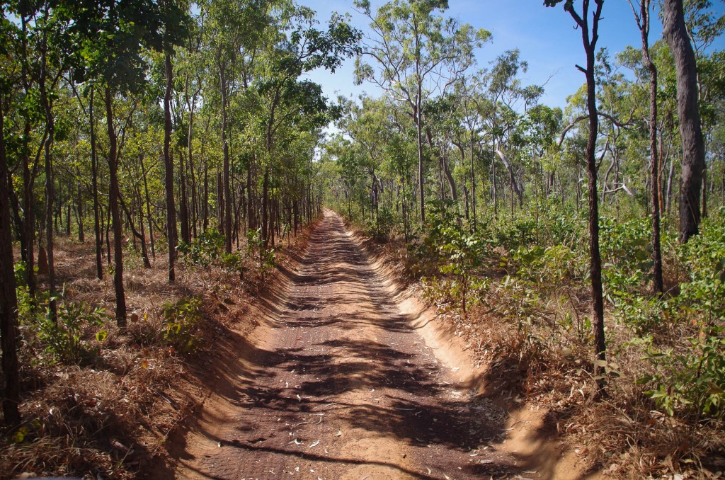
The mildly sandy track winds on with the occasionally dry creek bed to cross.


The first flowing creek was our goal for the day. A nice camp site of the the OTT. Dulhunty creek is flowing with beautiful clear artesian water.

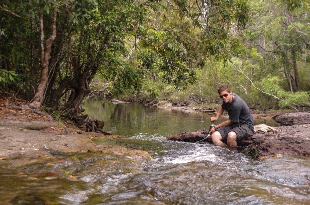
Filtering water (to be on the safe side) out of the beautifully clear and refreshing artesian water of the Dulhunty Creek

Filtering water (to be on the safe side) out of the beautifully clear and refreshing artesian water of the Dulhunty Creek


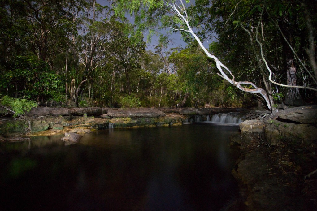
Night fallen on the Dulhunty

Night fallen on the Dulhunty OTT crossing waterfall

There haven’t been too many others on the OTT yet which is really nice. I was a little concerned this would be a red neck four wheel drive fest. Certainly the difficulty of the crossings is because many four wheel drive nuts come here with their crazy machines when its wet and tear it up. I like to think my footprint is a little less severe but we take our little toll as well I guess. At least it isn’t too wet currently.

Dulhunty creek is lovely and we had a fantastic swim and bath under the little water fall below the crossing. I am really glad to be here.


Comments { 0 }

Coen to Weipa

The 280km to Weipa was long and dusty. There was enough traffic to make it a little annoying. The red dust gets into everything.

Mawson started surging a little about 150km out of Weipa. I suspect it is crap in the fuel. I kept riding and managed to get to Weipa but it did put me on edge a little.

TheTip (50 of 93)

Bauxite shipping terminal in Weipa


I drained the carb bowl, checked oil and air filter. The air filter looks as though it isn’t fully dirty yet which is a big improvement as today’s 280km of dirt was more dusty than the 140km that totally clogged it getting to Coen.

Mawson used a little oil but not as much as I had thought might be used, which is a great relief as it indicates that any damage that was done on the first two days riding with Donnie has not rendered the bike unridable due to excessive oil consumption. Lets just hope it stays that way.

Comments { 0 }