May 26th: Day 20 – Batsh Camp to Colong Caves
[long post warning]
Stayed up to 11:30 last night trying to get the 1:25k topo of the area into my phone for today’s walk. Got up at 9:40 as a result. Got the pack ready, packed the camera gear and food for lunch. And, perhaps most importantly, head torches and rope for the main aim of the day, splunking in Colong.
The 1:25k topo that I did get onto my phone and almost correctly calibrated showed the walking track to the caves.
Yesterday we spotted a hill that looked to be just north of camp. It stuck up like a castle and we had trouble finding a way up. Climbed up a small crack; finally the view rewarded us.
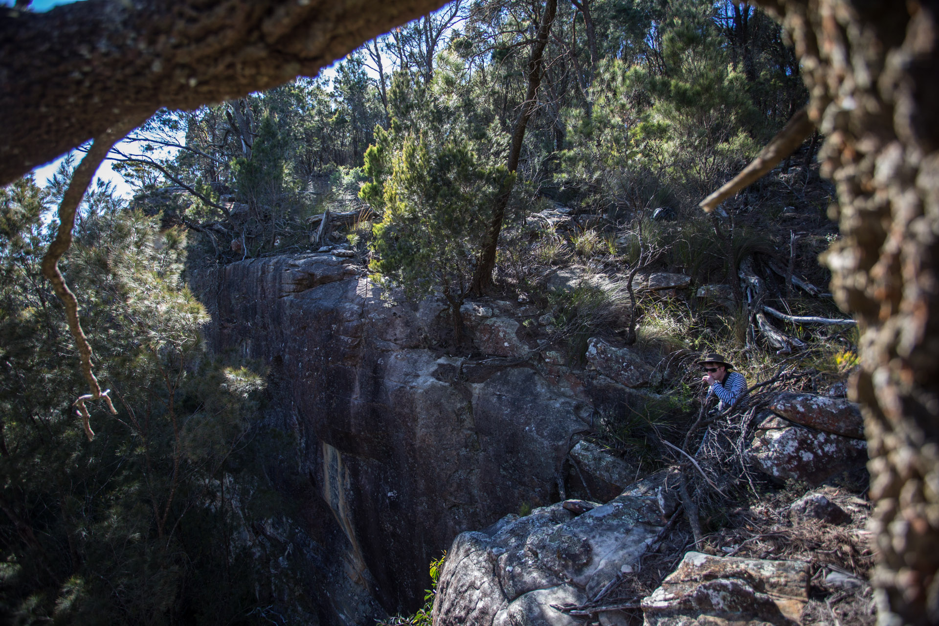
Scaling the walls of the castle. Raman at the top of a crevice that we decided to try climbing after wandering around under cliffs looking up wondering how we might get up there.
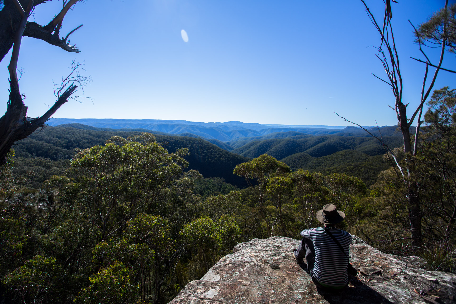
View to Mt Colong (left)
Lunch atop the world before diving down to traverse the underworlds.
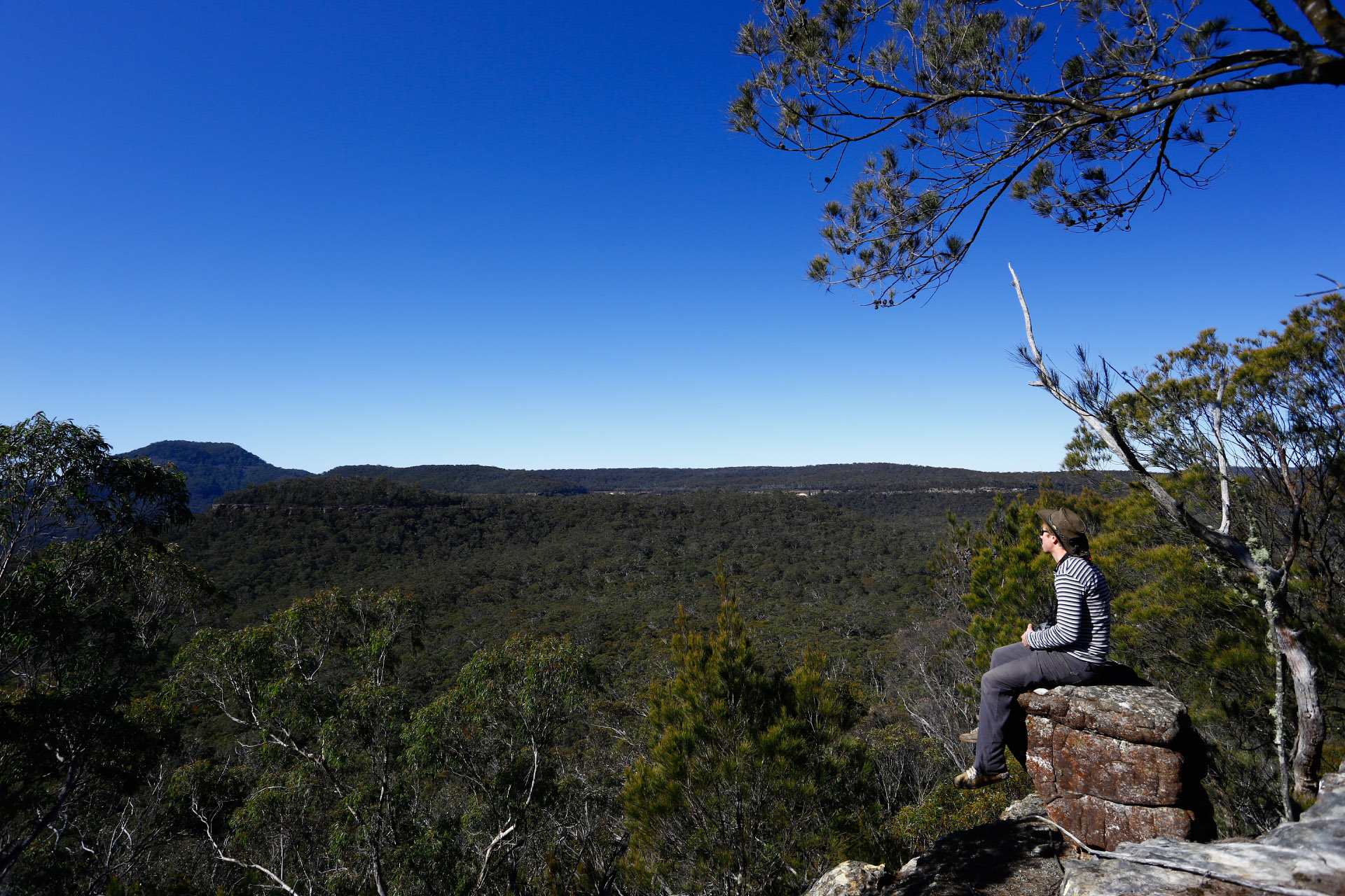
The path, “The Uni Rover Trail”, was far from well beaten, in places we had trouble following it.
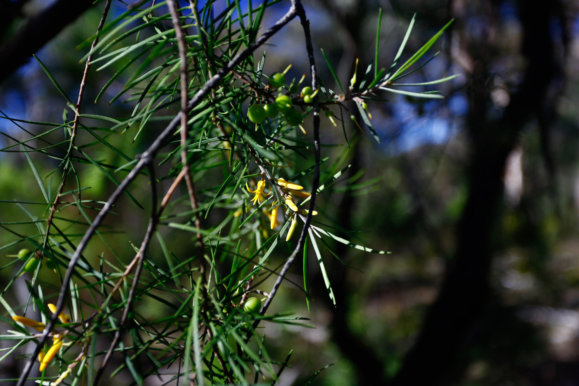
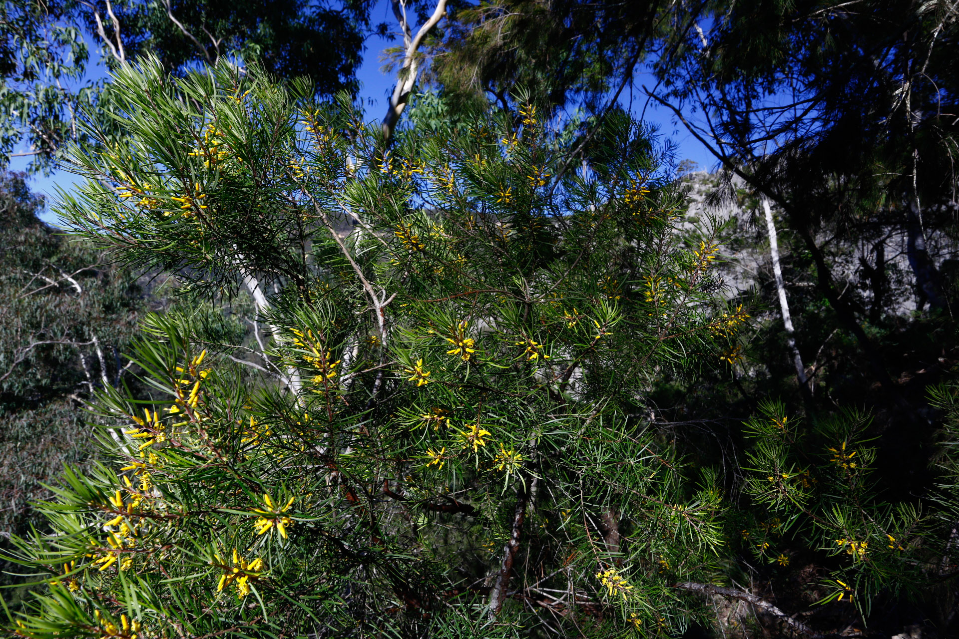
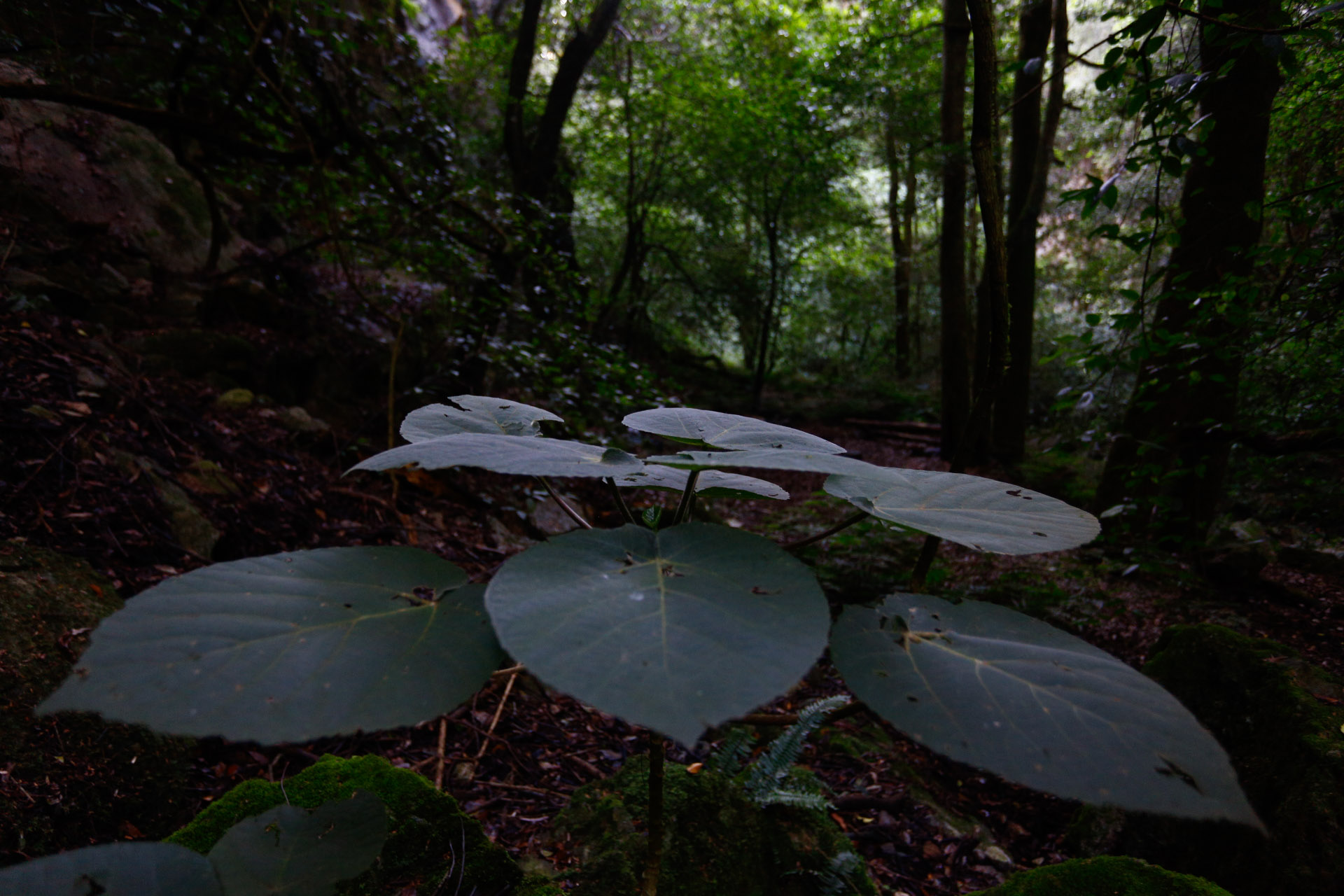
The foliage and flowers of the tree I found last night that intrigued me.
I must take a picture of the bark if I get another chance, it is quite amazing. Soft and fluffy, rich red-brown and flaky.
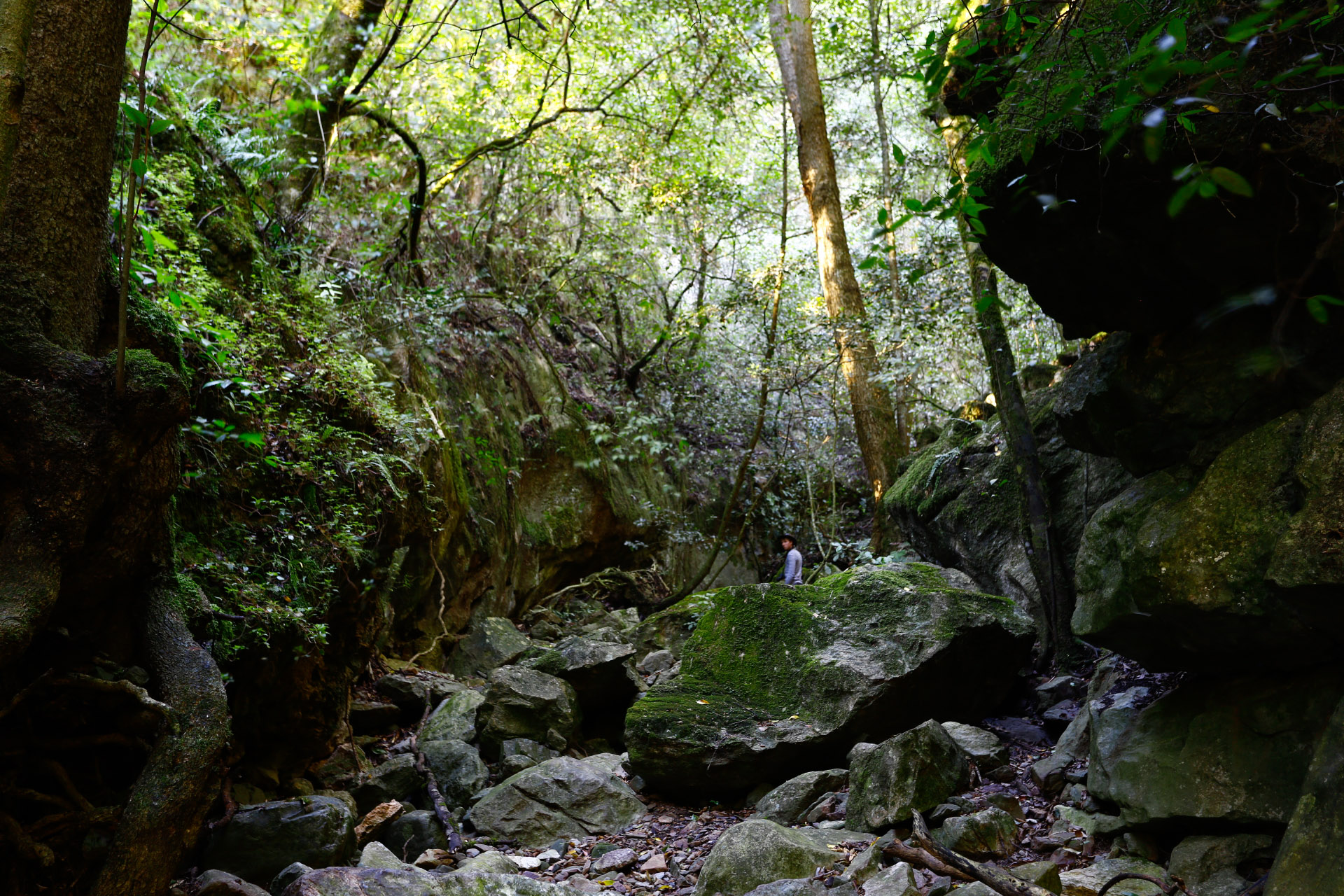
Finding the caves was quite an achievement in it self.
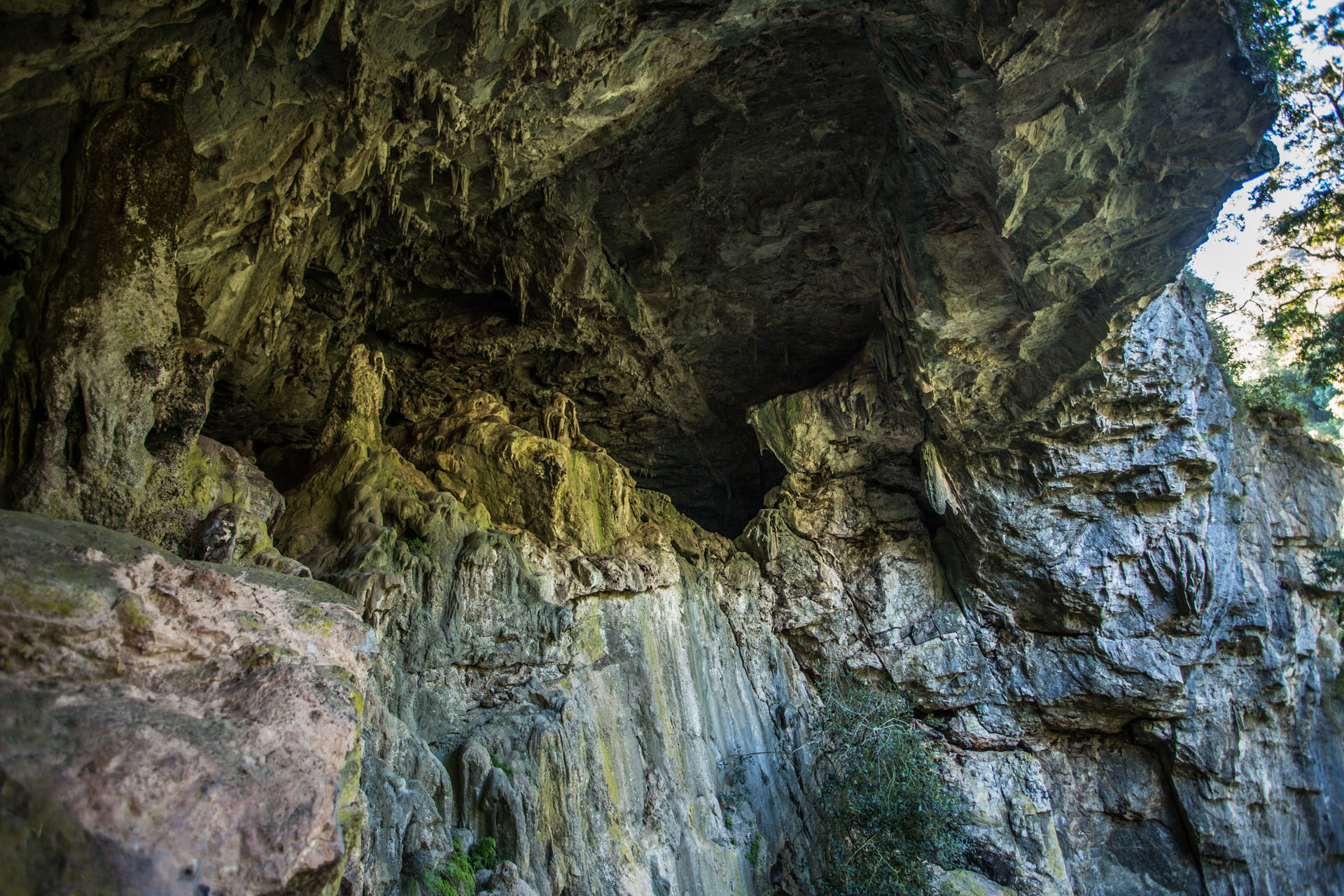
The Colong arch is amazing!
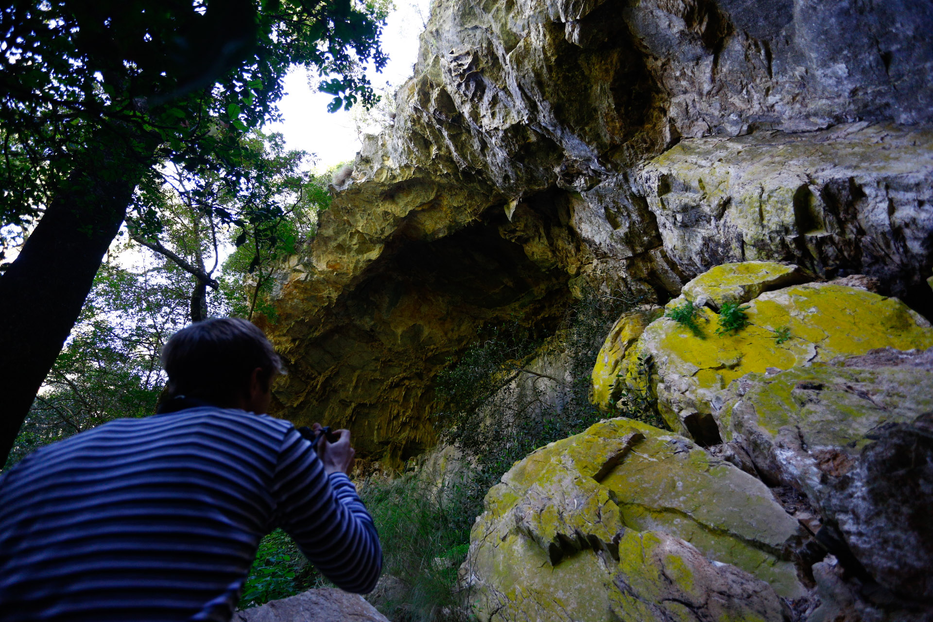
The Colong Arch from below
I took quite a few photos.
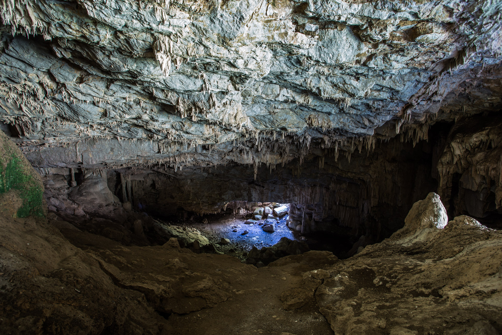
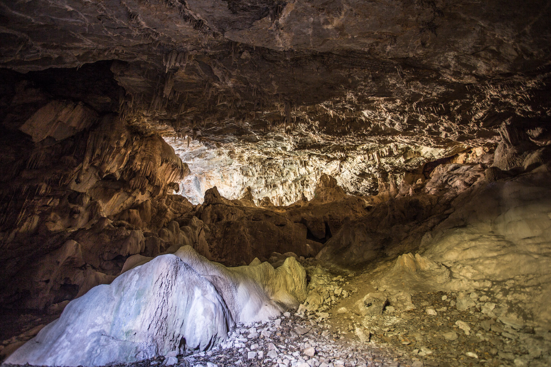
The amphitheatre inside Colong arch
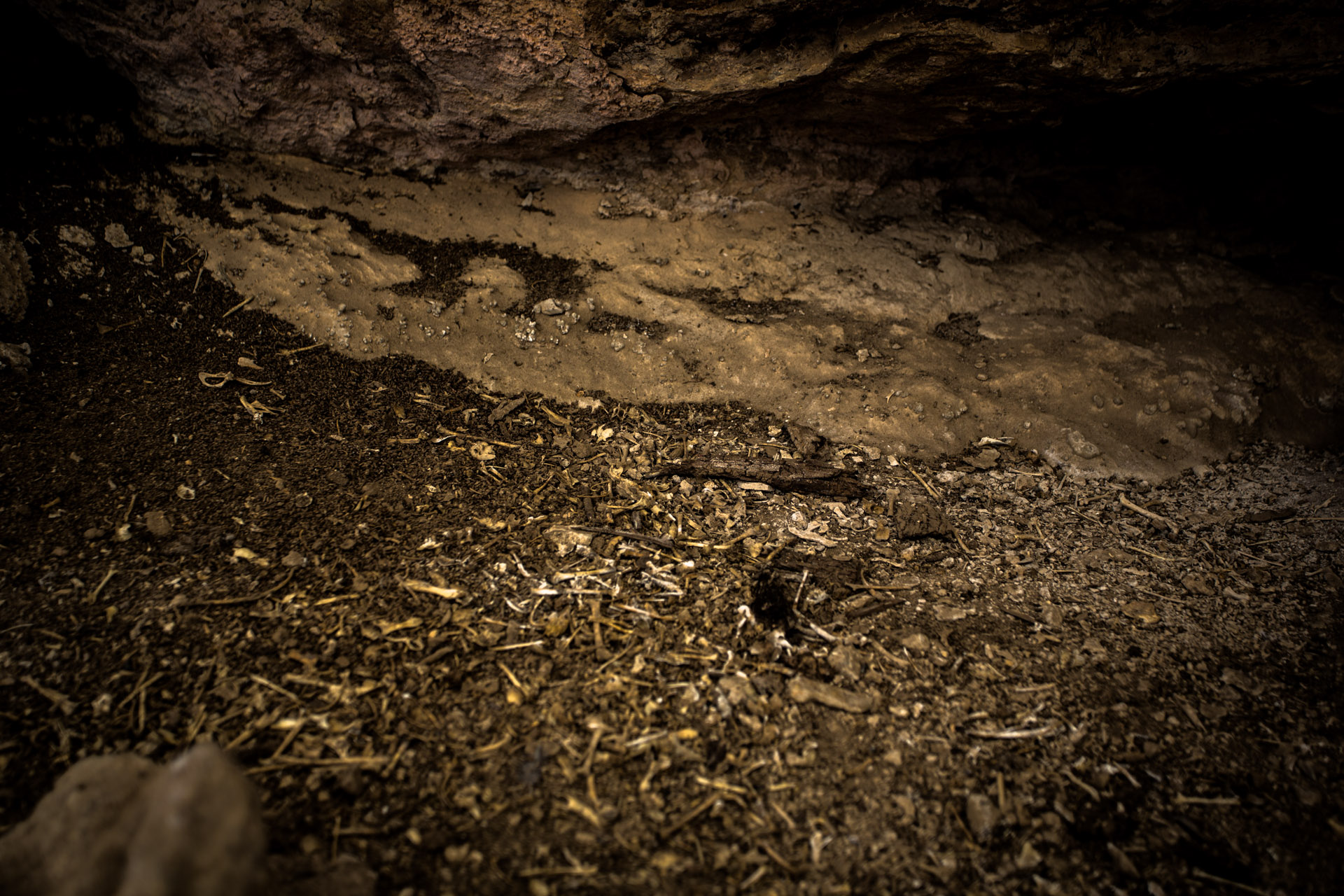
Bones little the floor
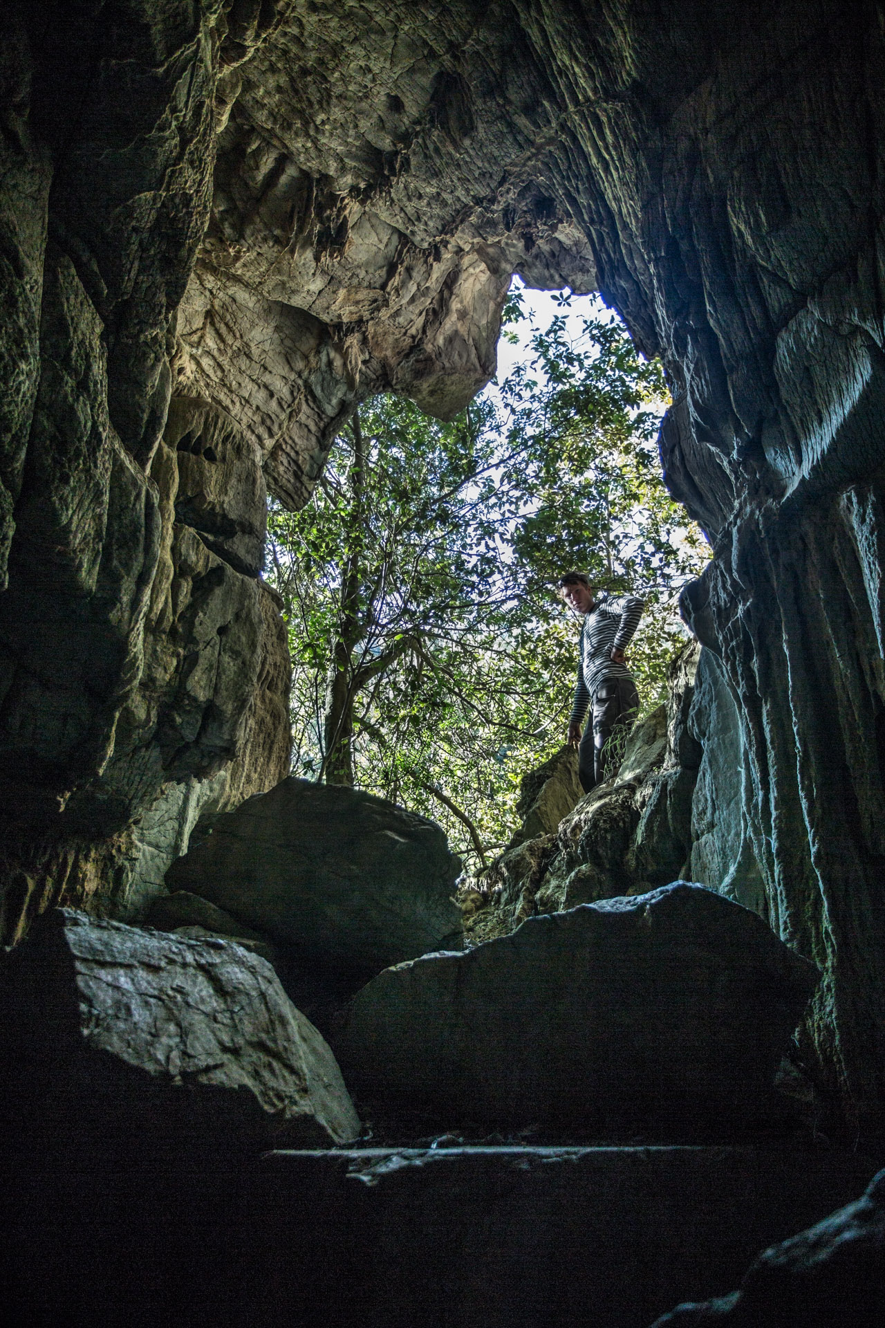
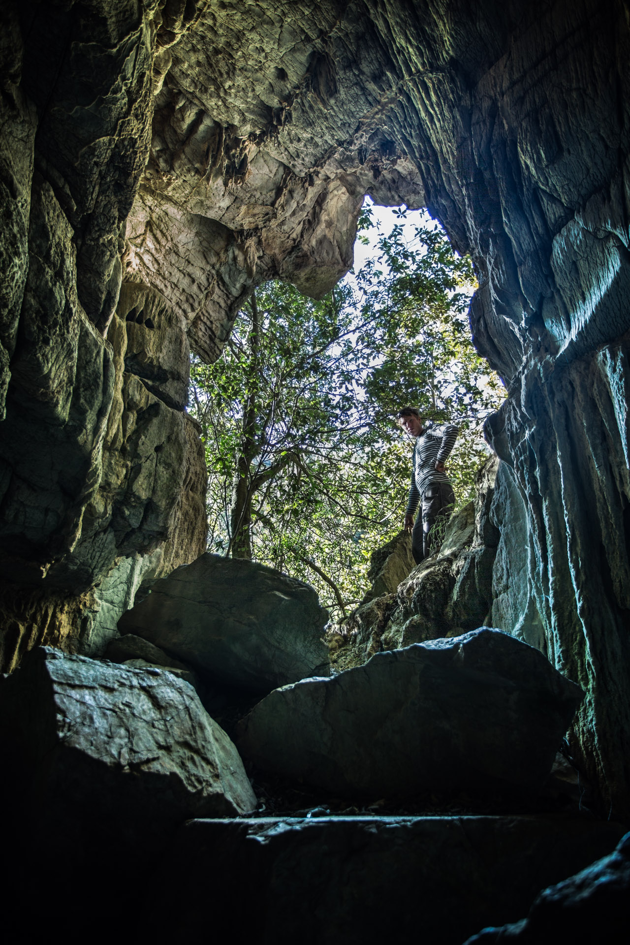
The second exit to the Colong arch and the back stage exit of the amphitheatre
Some of you will note the noise in the shadows of this image. I am having difficulty keeping my laptop charged with no 240 power source (only the 12v bike charger which flattens my bike quite quickly) so I have not blended the double exposure that I took here to get the clean foreground that I normally would. I have instead “pushed” the single raw file harder to achieve the same result with more shadow noise. These high dynamic range scenarios present themselves quite often and the photographer is challenged to find ways to use the gear to achieve something close to what the human eye and brain achieve. In this type of situation I take two exposures to extend the dynamic range of my camera and blend them later. This takes time and processing power.
[Edit] I have now solved my problem powering my laptop and have an example of the blend I was discussing above
Double exposure processed separately, one for shadows and one for highlights, and then blended for lower noise.
Looking back up into the high part of the arch from the base of the amphitheatre
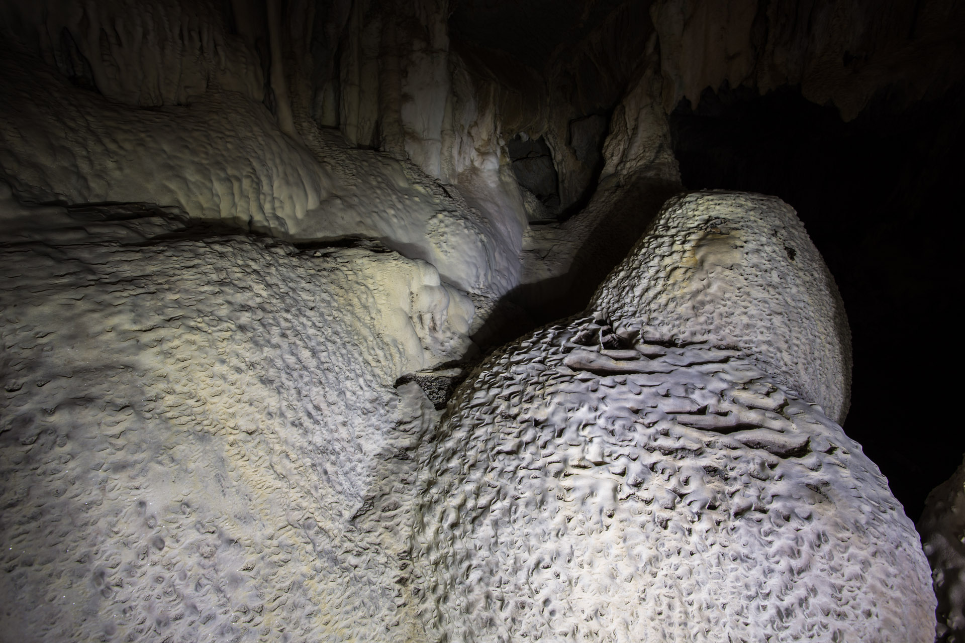
A formation in the amphitheatre
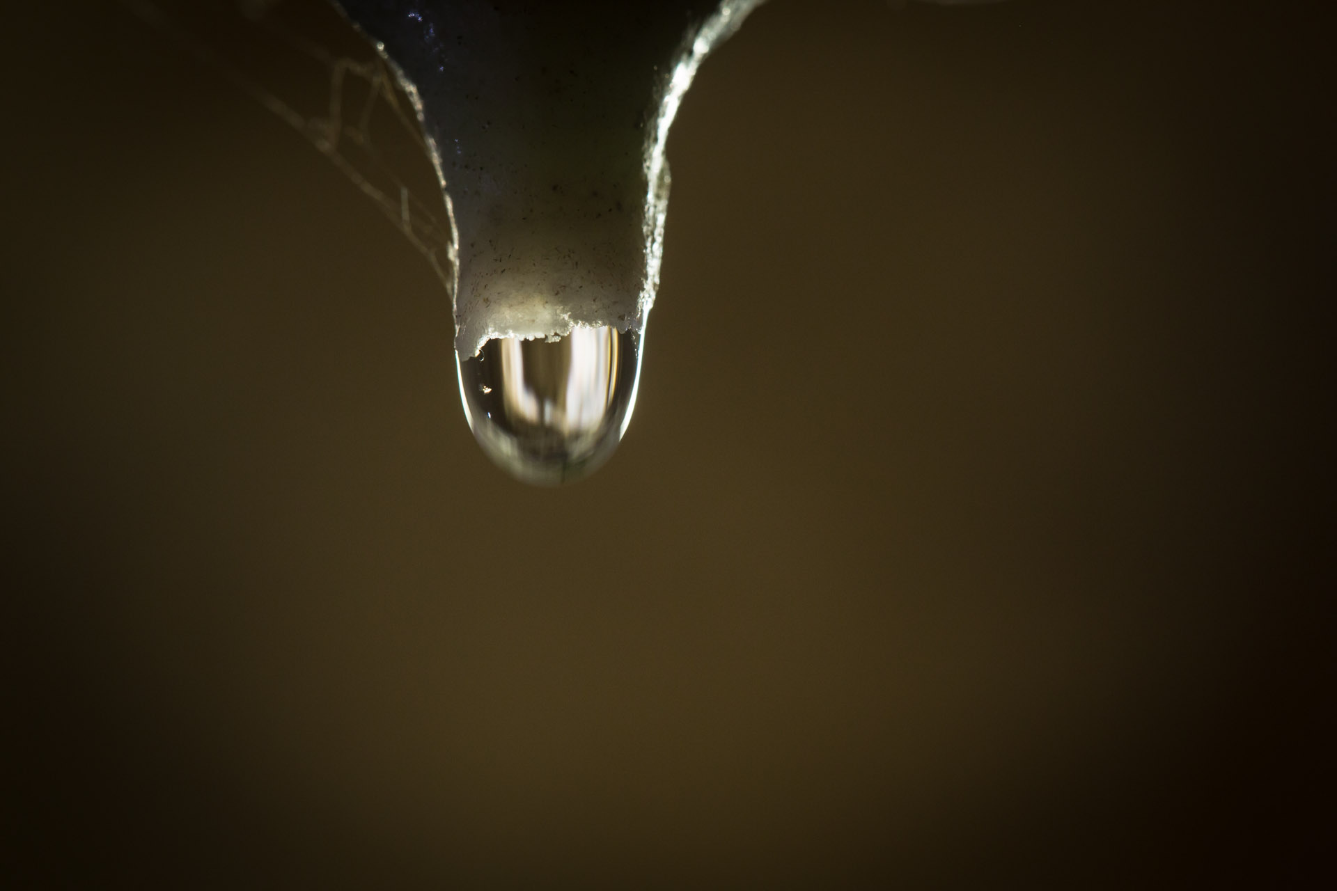
Water laden with the dissolved solids, that precipitate to create the crystal formations, exhibit higher surface tension than rain water and form more spherical droplets
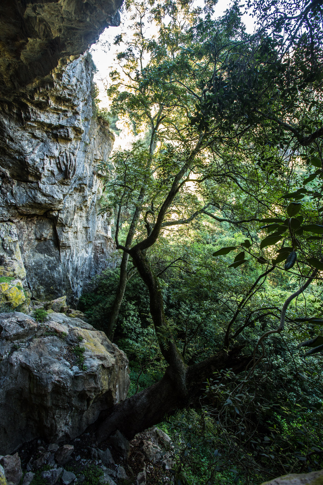
Old grandfather Kurrajong tree at the mouth of the arch
After looking around and being amazed several times at the size of the cavern and the formations in it, we headed back down. An hour and a half exploring the cavern and we were ready to head off. We climbed back down and Raman passed me his camera while he climbed up to see a little old copper plaque with a few words about the caves that I had seen earlier. It was a sheet of copper with individual letters stamped into it that looked to be very old.

The arch from the river below
I had a little look up the river but soon returned, expecting to find Raman waiting. He wasn’t there. I waited 10 minutes. Casually called his name to no avail. Waited another 5 minutes.
An interesting tree…that seems to sting
I began to wonder where he might be. There was a little bit of a hole under the plaque and I suspected he might have crawled into it. I figured he’d pop out with an excited grin on his face…soon. A few more thoughts passed through my mind before I heard my name called somewhat urgently and quickly from around the corner and up the cliff in the opposite direction from where he had disappeared. He had accidentally emerged from a different exit, part way up the cliff above the creek. I scrambled up the foot slopes of the jungle over grown cliff. His breathe was short and he was relieved to see that he was not stuck high on the cliff. Concern shifted to excitement, “you have to see this!”
My memory of what followed still makes my heart race. We went inside the mountain….in and in and in.
Through crawl spaces I barely fitted through, into grand chambers and passage ways, down cracks to creeks and up slippery cascades to new rooms, all the while passing formations of tiny glittering crystals. The words of our tour guide from Wombyan echoed in our ears reminding us of the potential for carbon dioxide to have filled the bottom of a cave and when you enter you can stir it up with potentially dangerous results. Keeping an eye on heart rate, sweat on the brow and shorteness of breathe, we pushed on into the mountain. What an incredible experience!
When we emerged, another 35 minutes had passed. It had been late when we went in but now it was just on 5 pm. We thanked the mountain spirit for looking after us and headed off at a chipping pace before the light faded.
After the steepest section of climb we came across a cairne and atop it was an ice cream container offering a little plastic bag under a stone, inside which, to our amazement, we found a visitors book for the caves.
We made an entry for sunkenmiles and quickly got moving with the sweat beginning to cool on me after the hard 300m very steep climb from the creek bed to the cairne.
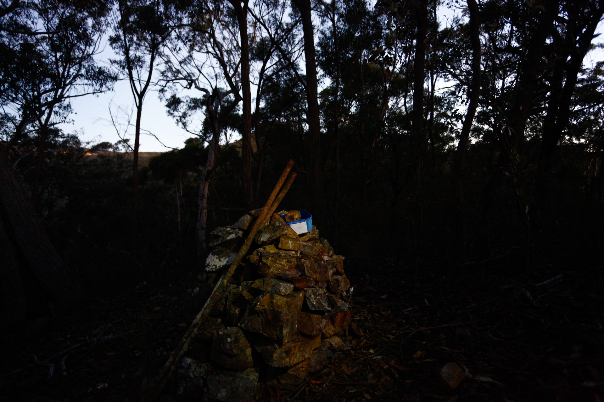
Visitors book
Returning in the dark we had to use the GPS more than once to check our bearing.
How homely camp felt when we did finally arrive.
[map style=”width: auto; height:300px; margin:20px 0px 20px 0px; border: 1px solid black;” maptype=”SATELLITE” z=”14″ gpx=”https://sunkenmiles.com.au/wp-content/uploads/colong hike.gpx”]
5 Responses to Colong Caves